Hogfield Grove
Wood, Forest in Suffolk Mid Suffolk
England
Hogfield Grove

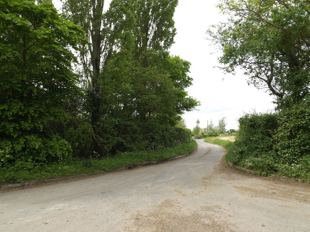
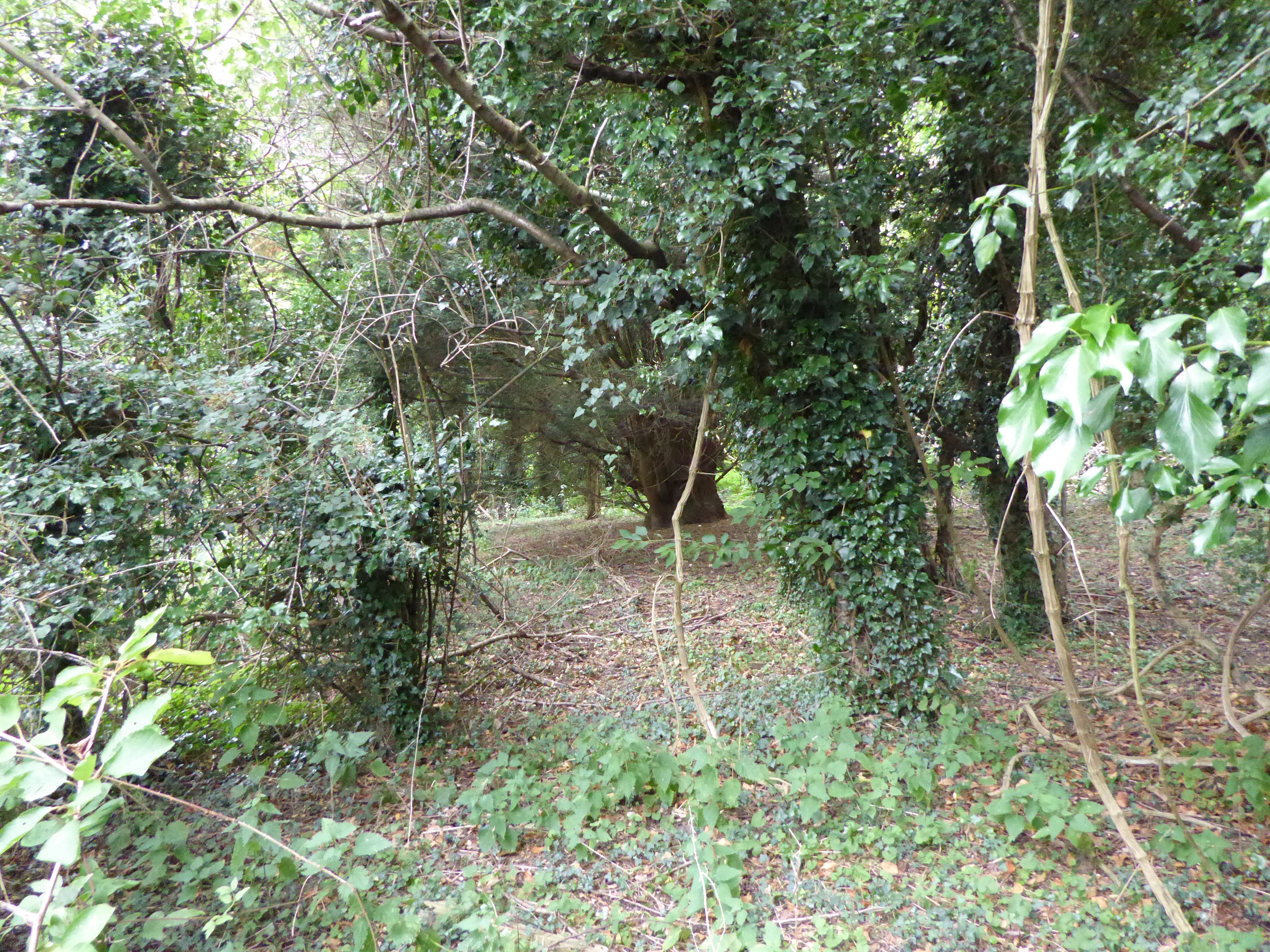
Hogfield Grove is a charming woodland located in Suffolk, England. Nestled in the countryside, it covers an area of approximately 50 acres and is a haven for nature enthusiasts and outdoor adventurers alike. The grove is predominantly made up of a mix of deciduous and coniferous trees, creating a diverse and picturesque landscape.
As visitors enter Hogfield Grove, they are greeted by a well-maintained footpath that winds its way through the woodland. The path provides easy access for walkers, joggers, and cyclists, allowing them to explore the grove at their own pace. Along the way, one can find numerous benches and picnic spots, providing opportunities for relaxation and contemplation amidst the tranquil surroundings.
The grove is home to a wide array of wildlife, including deer, squirrels, and a variety of bird species. Birdwatchers will particularly enjoy the opportunity to spot species such as woodpeckers, thrushes, and owls that inhabit the forest. The peaceful atmosphere and abundance of flora and fauna make Hogfield Grove a perfect destination for nature photography and wildlife observation.
In addition to its natural beauty, Hogfield Grove offers a range of recreational activities. There are designated areas for camping and barbecues, making it an ideal spot for families and groups to enjoy a day out in the countryside. The grove also features a small pond, which is an excellent spot for fishing enthusiasts to try their luck.
Hogfield Grove is a true gem in Suffolk, offering a serene and idyllic escape from the hustle and bustle of everyday life. Its natural beauty, diverse wildlife, and recreational opportunities make it a must-visit destination for nature lovers and outdoor enthusiasts.
If you have any feedback on the listing, please let us know in the comments section below.
Hogfield Grove Images
Images are sourced within 2km of 52.101657/1.0776982 or Grid Reference TM1049. Thanks to Geograph Open Source API. All images are credited.


Hogfield Grove is located at Grid Ref: TM1049 (Lat: 52.101657, Lng: 1.0776982)
Administrative County: Suffolk
District: Mid Suffolk
Police Authority: Suffolk
What 3 Words
///breathing.spoken.fool. Near Claydon, Suffolk
Nearby Locations
Related Wikis
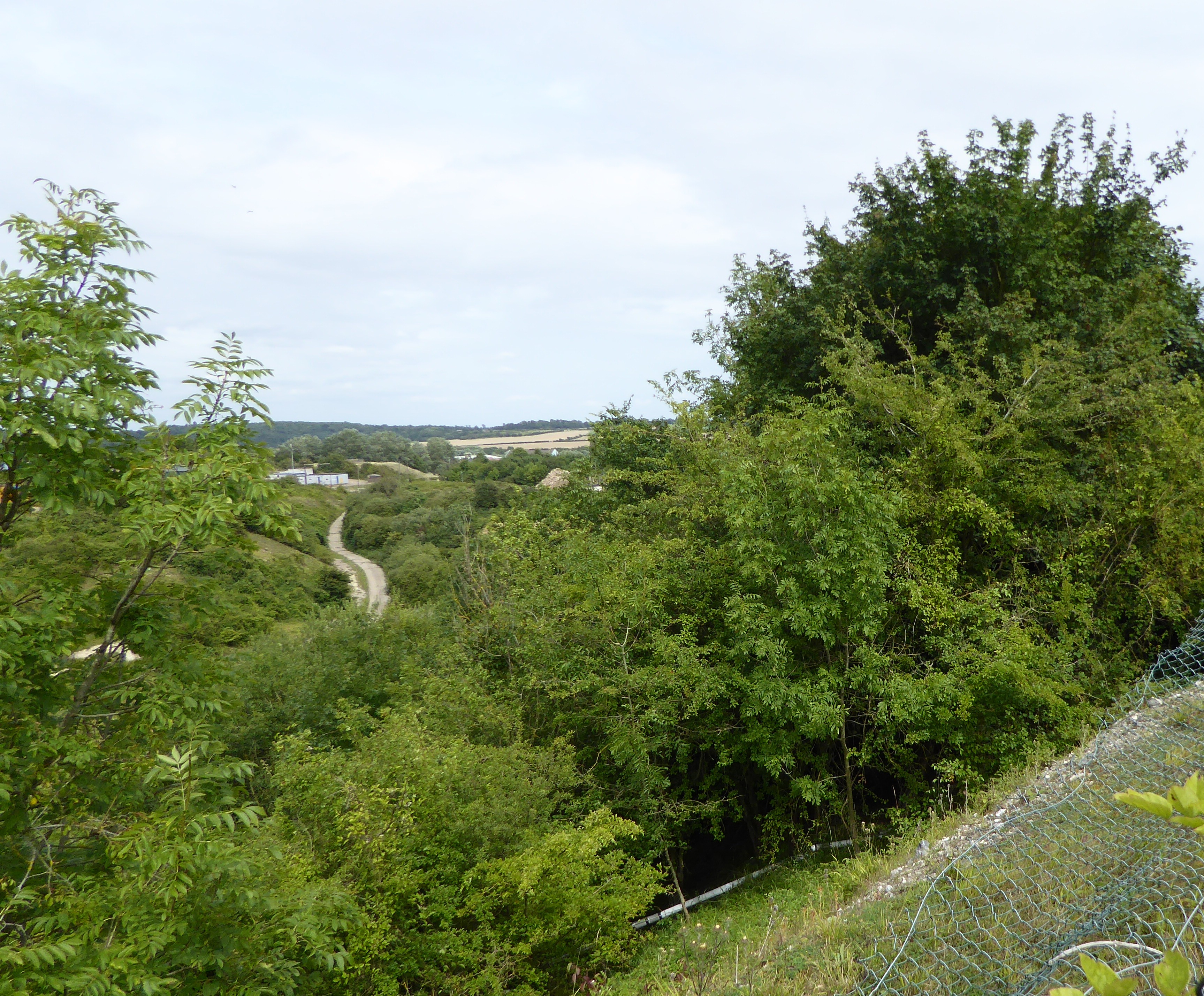
Little Blakenham Pit
Little Blakenham Pit is a 3.4-hectare (8.4-acre) biological Site of Special Scientific Interest in Little Blakenham in Suffolk.A 127 metre long tunnel...
Little Blakenham
Little Blakenham is a village and civil parish in the Mid Suffolk district of Suffolk in eastern England. Located around two miles north-west of Ipswich...
Great Blakenham Pit
Great Blakenham Pit is a 2.2-hectare (5.4-acre) geological Site of Special Scientific Interest south of Great Blakenham in Suffolk. It is a Geological...
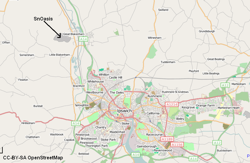
Valley Ridge (Winter sports resort)
Valley Ridge (formerly known as SnOasis) was a proposed ski and sports resort in Great Blakenham near Ipswich, Suffolk, England. In March 2021, the plan...

Claydon railway station (Suffolk)
Claydon railway station was a station in Great Blakenham, Suffolk. It closed to passengers in 1963. The goods facility for Blue Circle Cement, British...
Great Blakenham
Great Blakenham is a village and civil parish in the Mid Suffolk district of Suffolk in eastern England located near the town of Ipswich. An energy from...
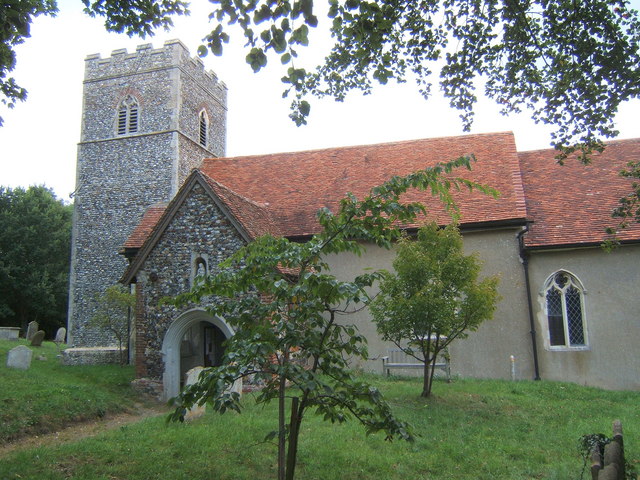
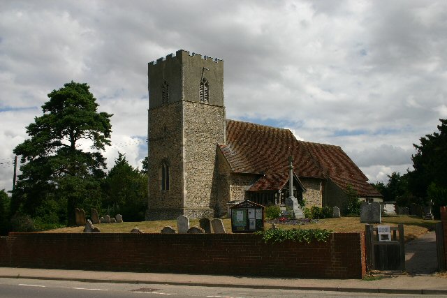
St Mary's Church, Great Blakenham
St Mary's Church is located in the village of Great Blakenham near Ipswich. It is an active Anglican parish church in the deanery of Bosmere, part of the...
Nettlestead, Suffolk
Nettlestead is a dispersed village and civil parish in the Mid Suffolk district of Suffolk in eastern England.The surrounding villages of Nettlestead include...
Nearby Amenities
Located within 500m of 52.101657,1.0776982Have you been to Hogfield Grove?
Leave your review of Hogfield Grove below (or comments, questions and feedback).