The Rough

Wood, Forest in Kent Canterbury

England

The Rough

Footpath heading towards Shalmsford Street
Footpath heading towards Shalmsford Street Credit: Chris Heaton

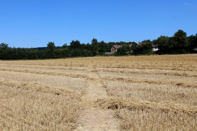
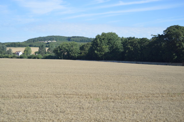
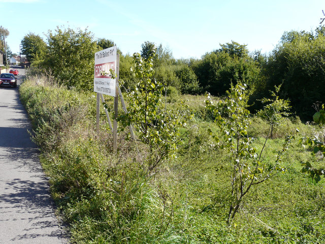
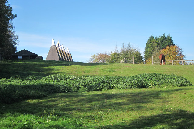
The Rough, located in Kent, is a beautiful wood and forest area that spans over a significant acreage. It is a popular destination for nature lovers, hikers, and outdoor enthusiasts alike. The Rough is known for its diverse range of flora and fauna, offering a unique and rich experience for visitors.

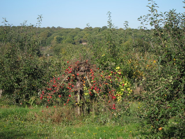
Covered in dense woodland, The Rough provides a picturesque and serene setting for those seeking tranquility in nature. The trees, predominantly oak and beech, create a dense canopy, allowing only dappled sunlight to filter through to the forest floor. This creates an enchanting atmosphere and provides a haven for various woodland creatures, including deer, squirrels, and a plethora of bird species.

The Rough offers numerous walking trails and footpaths that wind through the forest, allowing visitors to explore the area at their own pace. The trails cater to different levels of difficulty, accommodating both casual walkers and more experienced hikers. Along these paths, visitors can discover hidden streams, small ponds, and charming clearings, adding to the allure of the woodland.

In addition to its natural beauty, The Rough also boasts a rich history. The area has been inhabited since ancient times, with evidence of human activity dating back thousands of years. Archaeological discoveries have uncovered artifacts and remnants of past settlements, providing a glimpse into the region's past.

Overall, The Rough in Kent offers a remarkable and immersive experience for nature enthusiasts and history buffs alike. Its lush woodland, diverse wildlife, and intriguing history make it a must-visit destination for anyone seeking a peaceful retreat in the heart of nature.

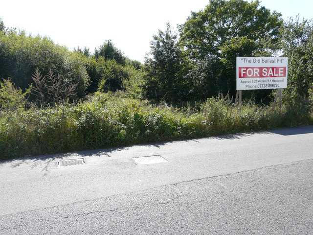
If you have any feedback on the listing, please let us know in the comments section below.
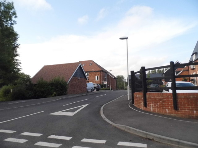
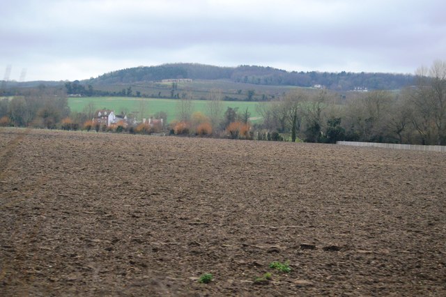
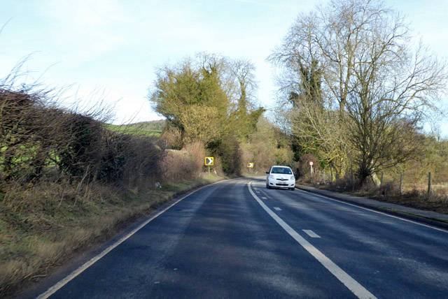
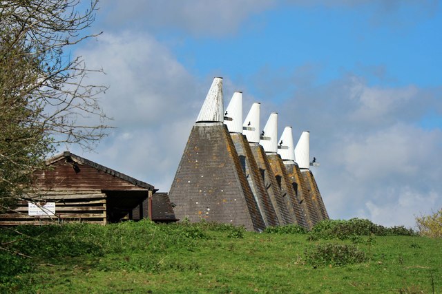
The Rough Images

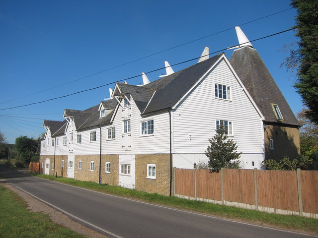
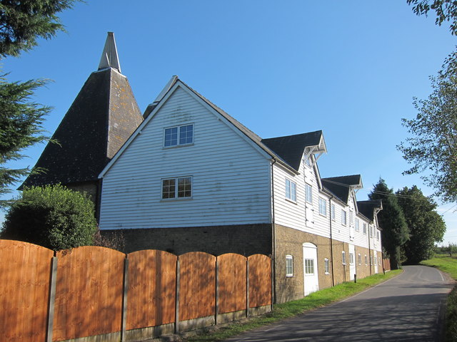
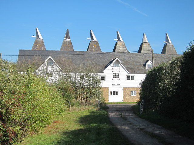
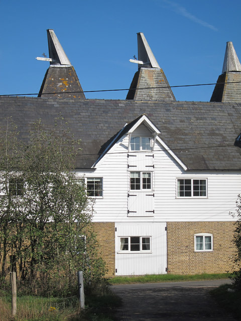
Images are sourced within 2km of 51.265885/1.0164681 or Grid Reference TR1056. Thanks to Geograph Open Source API. All images are credited.

Footpath heading towards Shalmsford Street
Farmland near Shalmsford Street
New houses on Shalmsford Street These were completed around late 2014
New houses on Shalmsford Street
These were completed around late 2014
Shalmsford Street
Shalmsford Street
Kingfisher Place, Shalmsford Street The development was completed in late 2014
Kingfisher Place, Shalmsford Street
The development was completed in late 2014
Field, Shalmsford Street
A28 Ashford Road Heading towards Canterbury along the valley of the Great Stour.
A28 Ashford Road
Heading towards Canterbury along the valley of the Great Stour.
The Old Ballast Pit, Shalmsford Street The pit of approximately 5.25 acres (2.1 hectares) is for sale.

This is a view of the advertisement board for <a href="https://www.geograph.org.uk/photo/6282692">TR0954 : The Old Ballast Pit, Shalmsford Street</a>, from the other side of the road.
The Old Ballast Pit, Shalmsford Street
The pit of approximately 5.25 acres (2.1 hectares) is for sale. This is a view of the advertisement board for TR0954 : The Old Ballast Pit, Shalmsford Street, from the other side of the road.
The Old Ballast Pit, Shalmsford Street The pit of approximately 5.25 acres (2.1 hectares) is for sale. 
 
This is a sideways view of the advertisement board for <a href="https://www.geograph.org.uk/photo/6282682">TR0954 : The Old Ballast Pit, Shalmsford Street</a>.
The Old Ballast Pit, Shalmsford Street
The pit of approximately 5.25 acres (2.1 hectares) is for sale. This is a sideways view of the advertisement board for TR0954 : The Old Ballast Pit, Shalmsford Street.
Apple orchard above Dunning Shaw, Stour Valley, Kent
The George Public House, Shalmsford Street
Denstead Oast, Denstead Lane, Chartham Six square kilned oast house.

Grade II listed.
Denstead Oast, Denstead Lane, Chartham
Six square kilned oast house. Grade II listed.
Denstead Oast, Denstead Lane, Chartham Six square kilned oast house.

Grade II listed.
Denstead Oast, Denstead Lane, Chartham
Six square kilned oast house. Grade II listed.
Denstead Oast, Denstead Lane, Chartham Six square kilned oast house.

Grade II listed.
Denstead Oast, Denstead Lane, Chartham
Six square kilned oast house. Grade II listed.
Denstead Oast, Denstead Lane, Chartham Six square kilned oast house.

Grade II listed.
Denstead Oast, Denstead Lane, Chartham
Six square kilned oast house. Grade II listed.
Denstead Oast, Denstead Lane, Chartham Six square kilned oast house.

Grade II listed.
Denstead Oast, Denstead Lane, Chartham
Six square kilned oast house. Grade II listed.
Orchard by Denstead Oast
Show me another place!

The Rough is located at Grid Ref: TR1056 (Lat: 51.265885, Lng: 1.0164681)

Administrative County: Kent

District: Canterbury

Police Authority: Kent

What 3 Words

///restore.jetliner.owners. Near Chartham, Kent

Nearby Locations

The Rough Chartham Hatch

Related Wikis

Chartham railway station

Chartham railway station is in Chartham, Kent, on the Ashford to Ramsgate line. The station, and all trains serving it, is operated by Southeastern....

No Man's Orchard

No Man's Orchard is a 4.1-hectare (10-acre) Local Nature Reserve west of Canterbury in Kent. It is owned by Chartham and Harbledown Parish Councils and...

Church of St Mary, Chartham

St Mary's Church is in the village of Chartham, Kent, England. It is an active Anglican parish church in the Diocese of Canterbury. Constructed between...

South Blean

South Blean is a 329-hectare (810-acre) nature reserve near Chartham Hatch, west of Canterbury in Kent. It is owned and managed by the Kent Wildlife Trust...

Chartham

Chartham is a village and civil parish in the Canterbury district of Kent, England. It is situated on the Ashford side of the city, and is in the North...

Bigbury Camp

Bigbury Camp (formerly Bigberry Camp) is a univallate hill fort in the parish of Harbledown and Rough Common in Kent in England. The fort is a Scheduled...

Larkey Valley Wood

Larkey Valley Wood is a 44.1-hectare (109-acre) biological Site of Special Scientific Interest south of Canterbury in Kent. It is also a Local Nature Reserve...

Upper Harbledown

Upper Harbledown is a village in Harbledown and Rough Common civil parish about 2 miles (3 km) west of Canterbury, Kent, England. The population is roughly...

Nearby Amenities

Located within 500m of 51.265885,1.0164681
Railway: level_crossing
Lat/Long: 51.2615785/1.0155607
Post Box
Collection Times: Mo-Fr 09:00; Sa 07:00
Operator: Royal Mail
Operator Wikidata: Q638098
Post Box Mounting: building
Post Box Type: wall
Postal Code: CT4
Ref: CT4 22
Royal Cypher: GVIR
Lat/Long: 51.2664058/1.0110916
Barrier: stile
Lat/Long: 51.2674215/1.0129401
Communication Microwave: yes
Communication Mobile Phone: yes
Communication Radio: yes
Communication Television: yes
Man Made: tower
Note: TV coverage is for an area in the Chartham area that's blind to the Dover transmitter.
Note Communication Television: Core channels only.
Operator Mobile Phone: Telefonica
Tower Type: communication
Lat/Long: 51.2657838/1.0135042
Railway: crossing
Lat/Long: 51.2631503/1.0219989
Railway: level_crossing
Lat/Long: 51.2615435/1.0155739
Railway: crossing
Lat/Long: 51.2631197/1.0220269
Barrier: stile
Stile: stepover
Lat/Long: 51.2631404/1.0216705
Generator Method: photovoltaic
Generator Orientation: 143
Generator Output Electricity: yes
Generator Solar Modules: 2
Generator Source: solar
Generator Type: solar_photovoltaic_panel
Location: roof
Power: generator
Lat/Long: 51.2690493/1.0136148
Generator Method: photovoltaic
Generator Orientation: 233
Generator Output Electricity: yes
Generator Solar Modules: 10
Generator Source: solar
Generator Type: solar_photovoltaic_panel
Location: roof
Power: generator
Lat/Long: 51.2690241/1.0136899
Generator Method: photovoltaic
Generator Orientation: 233
Generator Output Electricity: yes
Generator Solar Modules: 4
Generator Source: solar
Generator Type: solar_photovoltaic_panel
Location: roof
Power: generator
Lat/Long: 51.2691181/1.0138079
Generator Method: photovoltaic
Generator Orientation: 206
Generator Output Electricity: yes
Generator Solar Modules: 9
Generator Source: solar
Generator Type: solar_photovoltaic_panel
Location: roof
Power: generator
Lat/Long: 51.2702122/1.0153207
Generator Method: photovoltaic
Generator Output Electricity: yes
Generator Source: solar
Generator Type: solar_photovoltaic_panel
Location: roof
Power: generator
Lat/Long: 51.2697021/1.0194647
The data included in this document is from www.openstreetmap.org. The data is made available under ODbL.

Have you been to The Rough?

Leave your review of The Rough below (or comments, questions and feedback).