Chartham Hatch

Settlement in Kent Canterbury

England

Chartham Hatch

Farmland near Shalmsford Street
Farmland near Shalmsford Street Credit: N Chadwick

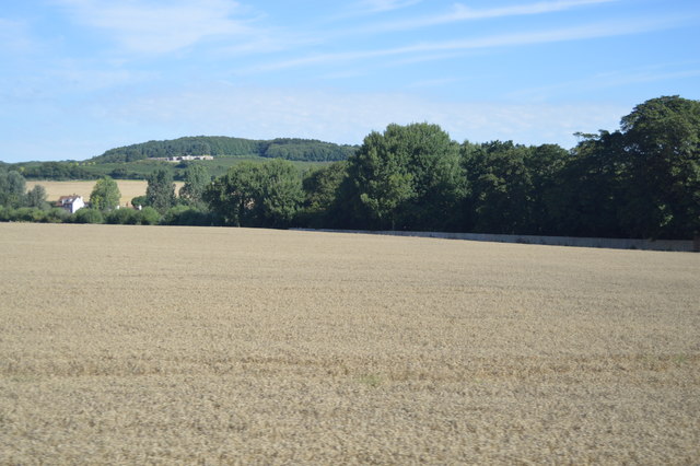
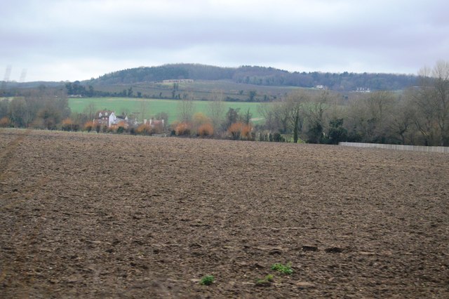
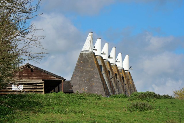
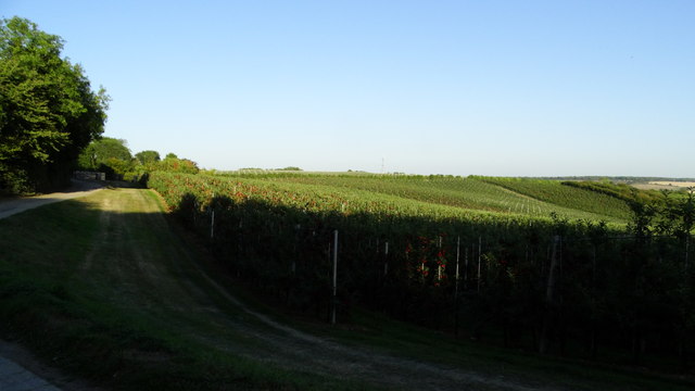
Chartham Hatch is a picturesque village located in the county of Kent, England. Situated about 5 miles southwest of the historic city of Canterbury, it offers a peaceful and rural setting surrounded by lush green fields and rolling hills. The village is nestled within the Kent Downs Area of Outstanding Natural Beauty, providing residents and visitors with stunning views and ample opportunities for outdoor activities.

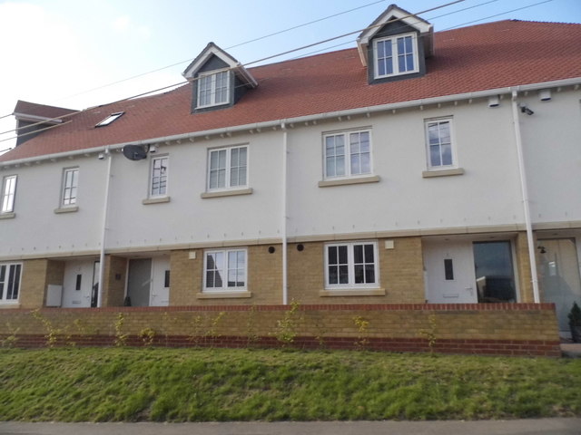
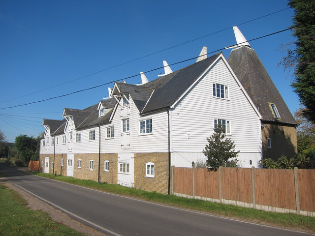
The village itself is small and tightly-knit, with a population of approximately 1,000 people. It has a charming and traditional atmosphere, with several historic buildings that add to its character. The local church, St. Mary's, is a prominent feature, dating back to the 13th century and offering a glimpse into the area's rich history.

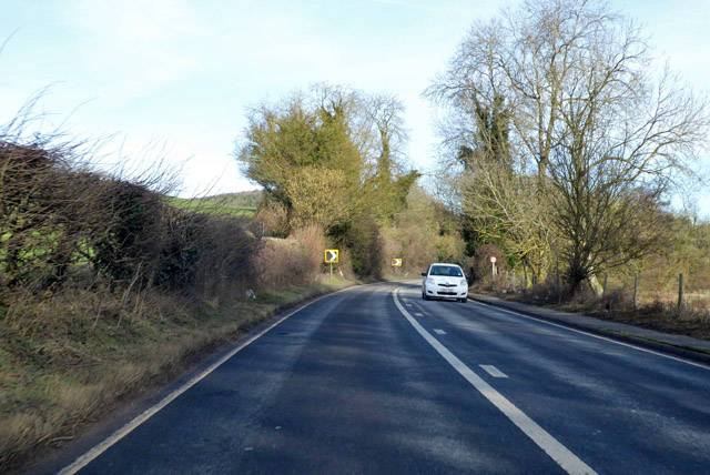
Despite its rural setting, Chartham Hatch benefits from good transport links. It is conveniently located near the A28 road, which connects it to Canterbury, Ashford, and other nearby towns. The village also has a railway station, Chartham, providing access to Canterbury and London.

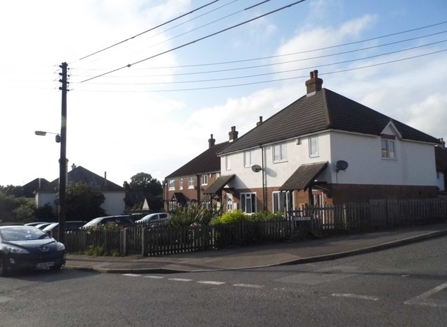
In terms of amenities, Chartham Hatch has a primary school, making it an attractive location for families. There are also a number of small shops and local businesses, ensuring that residents have access to essential services and provisions. For additional amenities, the city of Canterbury is just a short drive away, offering a wider range of shopping, dining, and entertainment options.

Overall, Chartham Hatch is a tranquil and idyllic village in the heart of the Kent countryside, offering a close-knit community and a beautiful natural environment.

If you have any feedback on the listing, please let us know in the comments section below.

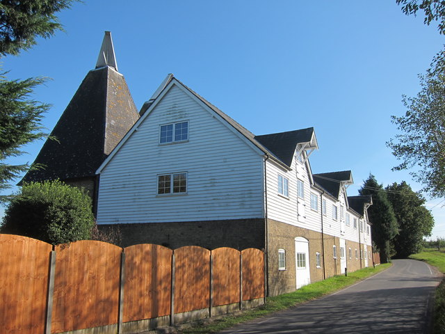
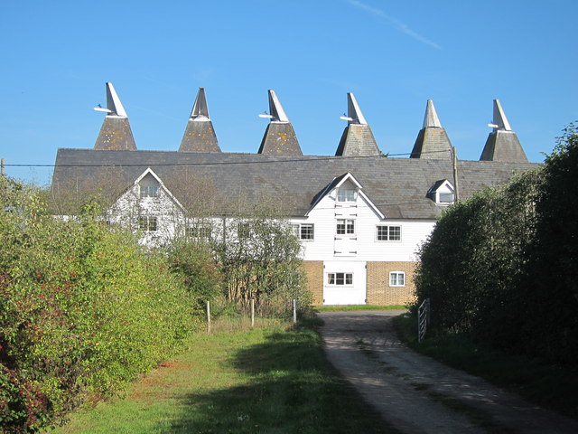
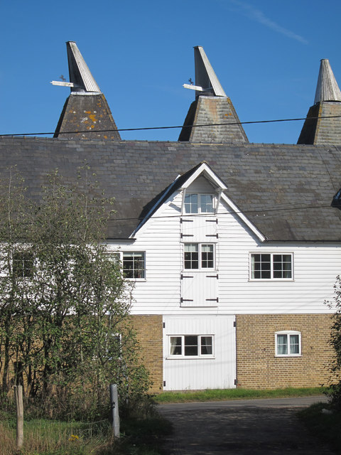
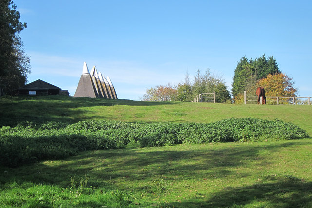
Chartham Hatch Images

Images are sourced within 2km of 51.270158/1.012003 or Grid Reference TR1056. Thanks to Geograph Open Source API. All images are credited.

Farmland near Shalmsford Street
New houses on Shalmsford Street These were completed around late 2014
New houses on Shalmsford Street
These were completed around late 2014
Shalmsford Street
Shalmsford Street
Field, Shalmsford Street
A28 Ashford Road Heading towards Canterbury along the valley of the Great Stour.
A28 Ashford Road
Heading towards Canterbury along the valley of the Great Stour.
Apple orchard above Dunning Shaw, Stour Valley, Kent
Field by Denstead Lane near Dunkirk
Denstead Lane near Dunkirk
Field by Denstead Lane near Dunkirk
Farm track off Denstead Lane near Dunkirk
Denstead Lane near Dunkirk
Orchards by Denstead Lane Footpath to the A2 to the right.
Orchards by Denstead Lane
Footpath to the A2 to the right.
Denstead Oast, Denstead Lane, Chartham Six square kilned oast house.

Grade II listed.
Denstead Oast, Denstead Lane, Chartham
Six square kilned oast house. Grade II listed.
Denstead Oast, Denstead Lane, Chartham Six square kilned oast house.

Grade II listed.
Denstead Oast, Denstead Lane, Chartham
Six square kilned oast house. Grade II listed.
Denstead Oast, Denstead Lane, Chartham Six square kilned oast house.

Grade II listed.
Denstead Oast, Denstead Lane, Chartham
Six square kilned oast house. Grade II listed.
Denstead Oast, Denstead Lane, Chartham Six square kilned oast house.

Grade II listed.
Denstead Oast, Denstead Lane, Chartham
Six square kilned oast house. Grade II listed.
Denstead Oast, Denstead Lane, Chartham Six square kilned oast house.

Grade II listed.
Denstead Oast, Denstead Lane, Chartham
Six square kilned oast house. Grade II listed.
Show me another place!

Chartham Hatch is located at Grid Ref: TR1056 (Lat: 51.270158, Lng: 1.012003)

Administrative County: Kent

District: Canterbury

Police Authority: Kent

What 3 Words

///fats.decorator.hoot. Near Chartham, Kent

Nearby Locations

Chartham Hatch The Rough

Related Wikis

No Man's Orchard

No Man's Orchard is a 4.1-hectare (10-acre) Local Nature Reserve west of Canterbury in Kent. It is owned by Chartham and Harbledown Parish Councils and...

South Blean

South Blean is a 329-hectare (810-acre) nature reserve near Chartham Hatch, west of Canterbury in Kent. It is owned and managed by the Kent Wildlife Trust...

Chartham railway station

Chartham railway station is in Chartham, Kent, on the Ashford to Ramsgate line. The station, and all trains serving it, is operated by Southeastern....

Church of St Mary, Chartham

St Mary's Church is in the village of Chartham, Kent, England. It is an active Anglican parish church in the Diocese of Canterbury. Constructed between...

Nearby Amenities

Located within 500m of 51.270158,1.012003
Chartham Hatch
Is In: Kent, England, UK
Place: village
Wikidata: Q2961240
Lat/Long: 51.2705814/1.0142339
Post Box
Collection Times: Mo-Fr 09:00; Sa 07:00
Operator: Royal Mail
Operator Wikidata: Q638098
Post Box Mounting: metal_post
Post Box Type: lamp
Postal Code: CT4
Ref: CT4 259
Royal Cypher: EIIR
Source: survey
Lat/Long: 51.2715694/1.0137732
Townhall
Chartham Hatch Village Hall
Addr City: Canterbury
Addr Postcode: CT4 7ND
Addr Street: Bigbury Road
Addr Village: Chartham Hatch
Lat/Long: 51.2716557/1.0137864
Bus Stop
Village Hall
Naptan AtcoCode: 2400A039030A
Naptan Bearing: SE
Naptan CommonName: Village Hall
Naptan Indicator: adj
Naptan Landmark: Village Hall
Naptan NaptanCode: kntdpjmt
Naptan Street: Howfield Lane
Naptan Verified: no
Public Transport: platform
Ref: kntdpjmt
Shelter: yes
Source: naptan_import
Source Date: 2018-03-16
Lat/Long: 51.2713737/1.0140317
Post Box
Collection Times: Mo-Fr 09:00; Sa 07:00
Operator: Royal Mail
Operator Wikidata: Q638098
Post Box Mounting: building
Post Box Type: wall
Postal Code: CT4
Ref: CT4 22
Royal Cypher: GVIR
Lat/Long: 51.2664058/1.0110916
Barrier: stile
Lat/Long: 51.2674215/1.0129401
Communication Microwave: yes
Communication Mobile Phone: yes
Communication Radio: yes
Communication Television: yes
Man Made: tower
Note: TV coverage is for an area in the Chartham area that's blind to the Dover transmitter.
Note Communication Television: Core channels only.
Operator Mobile Phone: Telefonica
Tower Type: communication
Lat/Long: 51.2657838/1.0135042
Bicycle Parking
Bicycle Parking: stands
Capacity: 4
Covered: no
Lat/Long: 51.2724667/1.0153154
Grit Bin
Colour: yellow
Ref: SW-332
Lat/Long: 51.2742949/1.0130193
Generator Method: photovoltaic
Generator Orientation: 153
Generator Output Electricity: yes
Generator Solar Modules: 12
Generator Source: solar
Generator Type: solar_photovoltaic_panel
Location: roof
Power: generator
Lat/Long: 51.2714943/1.015833
Generator Method: photovoltaic
Generator Orientation: 143
Generator Output Electricity: yes
Generator Solar Modules: 2
Generator Source: solar
Generator Type: solar_photovoltaic_panel
Location: roof
Power: generator
Lat/Long: 51.2690493/1.0136148
Generator Method: photovoltaic
Generator Orientation: 233
Generator Output Electricity: yes
Generator Solar Modules: 10
Generator Source: solar
Generator Type: solar_photovoltaic_panel
Location: roof
Power: generator
Lat/Long: 51.2690241/1.0136899
Generator Method: photovoltaic
Generator Orientation: 233
Generator Output Electricity: yes
Generator Solar Modules: 4
Generator Source: solar
Generator Type: solar_photovoltaic_panel
Location: roof
Power: generator
Lat/Long: 51.2691181/1.0138079
Generator Method: photovoltaic
Generator Orientation: 178
Generator Output Electricity: yes
Generator Solar Modules: 10
Generator Source: solar
Generator Type: solar_photovoltaic_panel
Location: roof
Power: generator
Lat/Long: 51.2725934/1.0148084
Generator Method: photovoltaic
Generator Orientation: 206
Generator Output Electricity: yes
Generator Solar Modules: 9
Generator Source: solar
Generator Type: solar_photovoltaic_panel
Location: roof
Power: generator
Lat/Long: 51.2702122/1.0153207
Defibrillator
Access: yes
Defibrillator Location: Outside wall
Emergency: defibrillator
Ref GB The Circuit: F57D7E7A-B9D7-4433-835C-ADCD00F34277
Lat/Long: 51.2716117/1.0136998
Chartham Hatch
Tourism: village_sign
Lat/Long: 51.2715434/1.013588
Generator Method: photovoltaic
Generator Output Electricity: yes
Generator Source: solar
Generator Type: solar_photovoltaic_panel
Location: roof
Power: generator
Lat/Long: 51.271996/1.0162649
Generator Method: photovoltaic
Generator Output Electricity: yes
Generator Solar Modules: 8
Generator Source: solar
Generator Type: solar_photovoltaic_panel
Location: surface
Power: generator
Lat/Long: 51.2725305/1.009035
Generator Method: photovoltaic
Generator Output Electricity: yes
Generator Solar Modules: 8
Generator Source: solar
Generator Type: solar_photovoltaic_panel
Location: surface
Power: generator
Lat/Long: 51.2724877/1.0090376
Generator Method: photovoltaic
Generator Output Electricity: yes
Generator Source: solar
Generator Type: solar_photovoltaic_panel
Location: roof
Power: generator
Lat/Long: 51.2724869/1.0085092
The data included in this document is from www.openstreetmap.org. The data is made available under ODbL.

Have you been to Chartham Hatch?

Leave your review of Chartham Hatch below (or comments, questions and feedback).