Devil's Grove
Wood, Forest in Suffolk Mid Suffolk
England
Devil's Grove

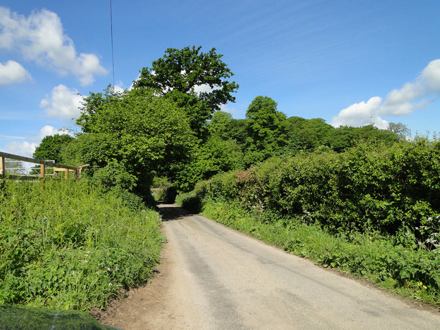
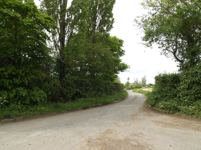
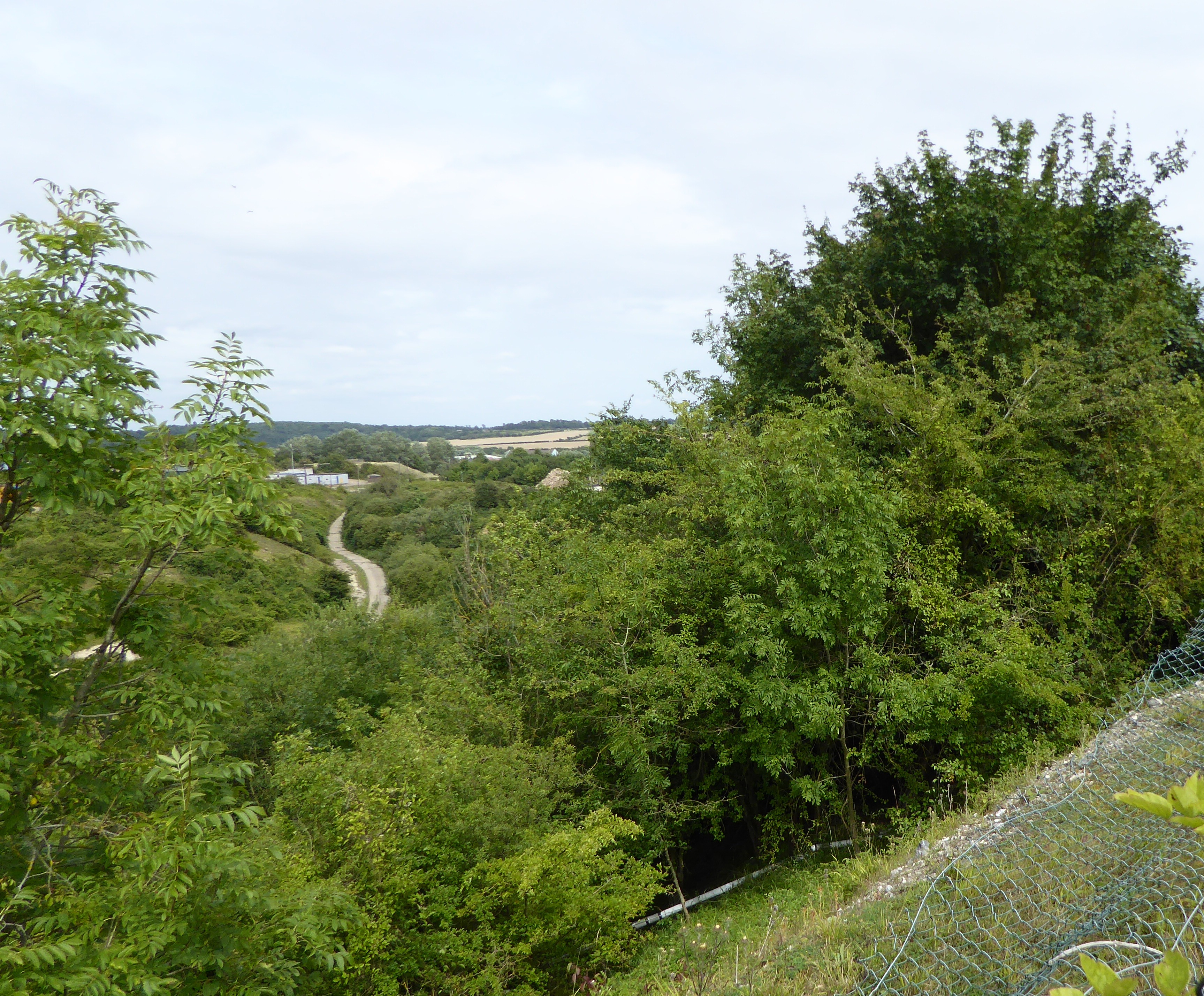
Devil's Grove, located in Suffolk, England, is a picturesque woodland area known for its enchanting beauty and rich history. Situated in the heart of the county, this dense forest covers an estimated area of 600 acres, providing a haven for wildlife and a peaceful retreat for nature enthusiasts.
The name "Devil's Grove" is steeped in folklore and mystery. Legend has it that the forest was once the meeting place for witches and warlocks, who would gather under the cover of darkness to perform rituals and incantations. This dark past has led to the forest becoming a popular destination for those intrigued by the supernatural and paranormal activity.
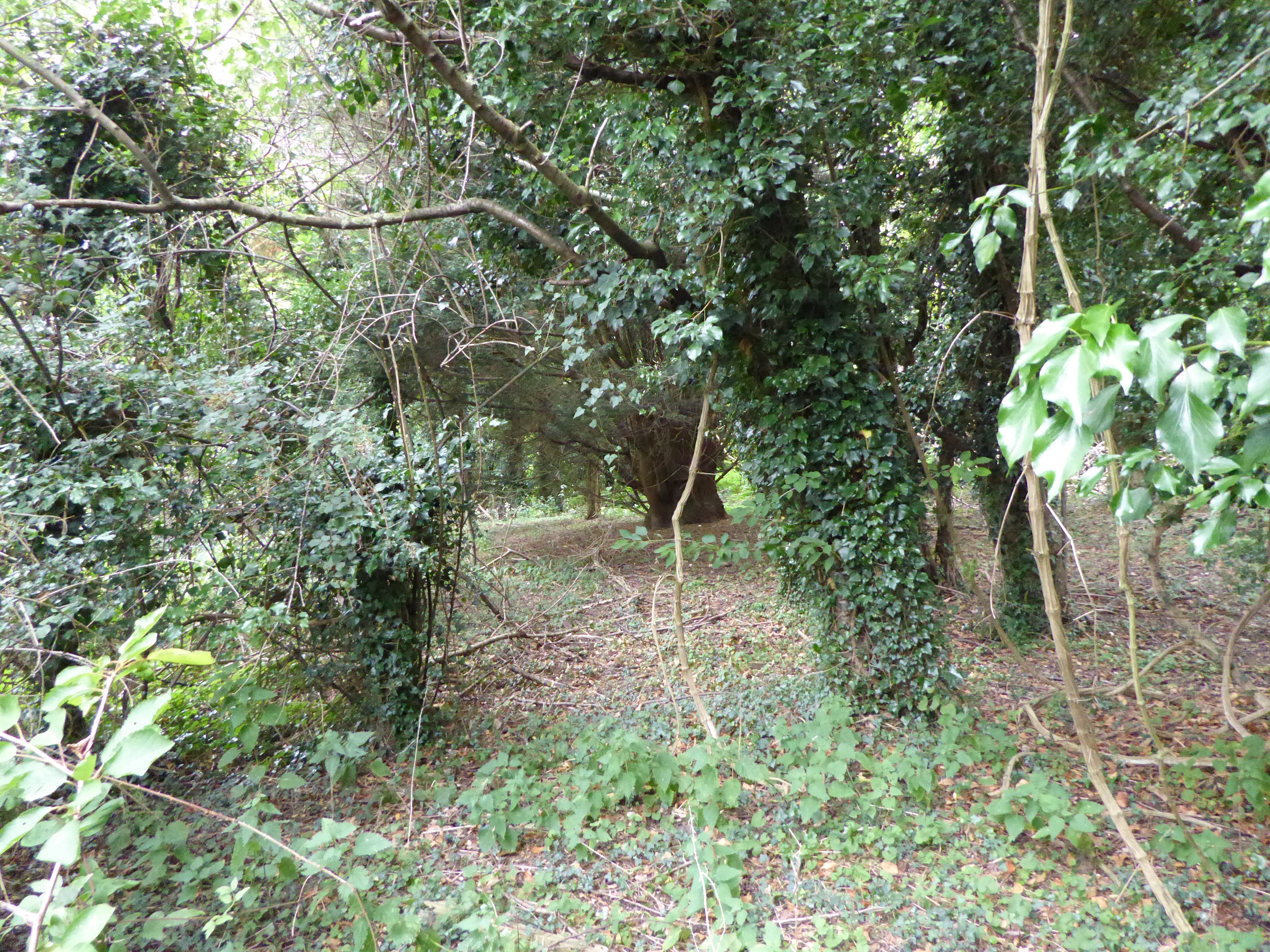
The woodland is primarily composed of ancient oak and beech trees, their sprawling branches creating a dense canopy that allows only dappled sunlight to filter through. A variety of wildlife calls Devil's Grove home, including deer, foxes, badgers, and a plethora of bird species. The forest floor is adorned with a carpet of bluebells during the spring, creating a breathtaking display of color and fragrance.
For outdoor enthusiasts, Devil's Grove offers a network of well-maintained walking trails, allowing visitors to explore the forest's hidden gems at their own pace. These trails meander through towering trees, babbling brooks, and moss-covered rocks, providing a sense of tranquility and serenity.
Devil's Grove is not only a natural haven but also an important historical site. The forest is believed to have been used as a hideout by outlaws and highwaymen during the medieval period, leaving behind remnants of their activities such as hidden caves and abandoned shelters.
Overall, Devil's Grove in Suffolk offers a captivating blend of natural beauty, historical intrigue, and a touch of mystique, making it a must-visit destination for those seeking an immersive experience in the heart of nature.
If you have any feedback on the listing, please let us know in the comments section below.
Devil's Grove Images
Images are sourced within 2km of 52.118905/1.0736566 or Grid Reference TM1051. Thanks to Geograph Open Source API. All images are credited.


Devil's Grove is located at Grid Ref: TM1051 (Lat: 52.118905, Lng: 1.0736566)
Administrative County: Suffolk
District: Mid Suffolk
Police Authority: Suffolk
What 3 Words
///horses.angel.beaten. Near Claydon, Suffolk
Nearby Locations
Related Wikis
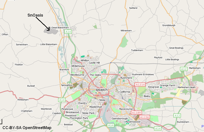
Valley Ridge (Winter sports resort)
Valley Ridge (formerly known as SnOasis) was a proposed ski and sports resort in Great Blakenham near Ipswich, Suffolk, England. In March 2021, the plan...

Baylham
Baylham is a village and civil parish, 1,349 acres size, in the Mid Suffolk district of Suffolk, England, about 7 miles (11 km) northwest of Ipswich and...
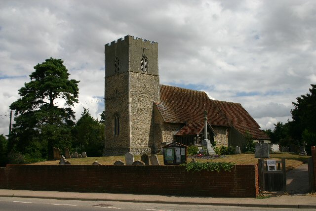
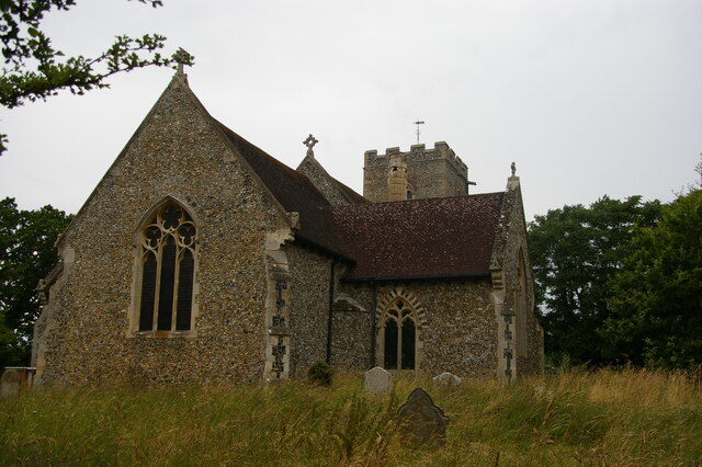
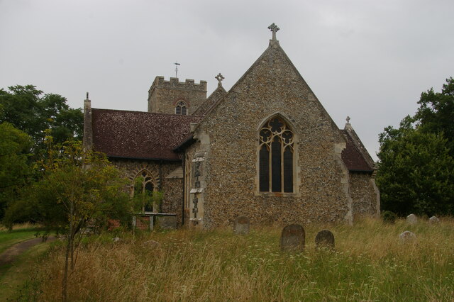
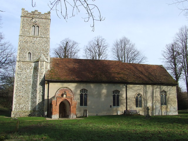
St Mary's Church, Great Blakenham
St Mary's Church is located in the village of Great Blakenham near Ipswich. It is an active Anglican parish church in the deanery of Bosmere, part of the...
Great Blakenham
Great Blakenham is a village and civil parish in the Mid Suffolk district of Suffolk in eastern England located near the town of Ipswich. An energy from...
Great Blakenham Pit
Great Blakenham Pit is a 2.2-hectare (5.4-acre) geological Site of Special Scientific Interest south of Great Blakenham in Suffolk. It is a Geological...
Nettlestead, Suffolk
Nettlestead is a dispersed village and civil parish in the Mid Suffolk district of Suffolk in eastern England.The surrounding villages of Nettlestead include...

Claydon railway station (Suffolk)
Claydon railway station was a station in Great Blakenham, Suffolk. It closed to passengers in 1963. The goods facility for Blue Circle Cement, British...
Little Blakenham Pit
Little Blakenham Pit is a 3.4-hectare (8.4-acre) biological Site of Special Scientific Interest in Little Blakenham in Suffolk.A 127 metre long tunnel...
Nearby Amenities
Located within 500m of 52.118905,1.0736566Have you been to Devil's Grove?
Leave your review of Devil's Grove below (or comments, questions and feedback).