Alder Carr
Wood, Forest in Suffolk Mid Suffolk
England
Alder Carr
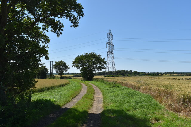
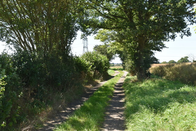
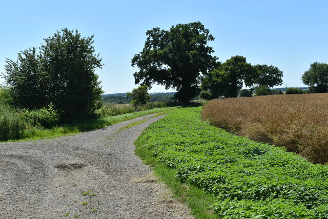
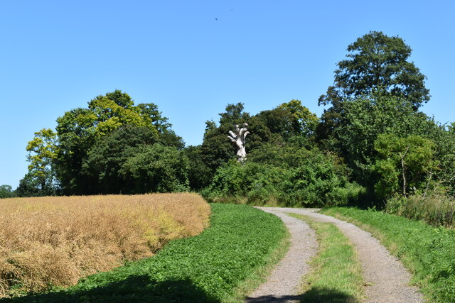
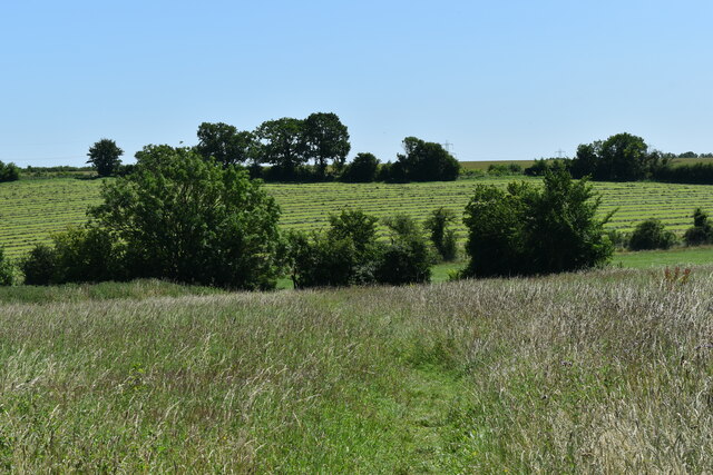
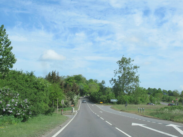
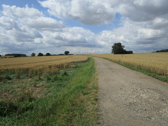
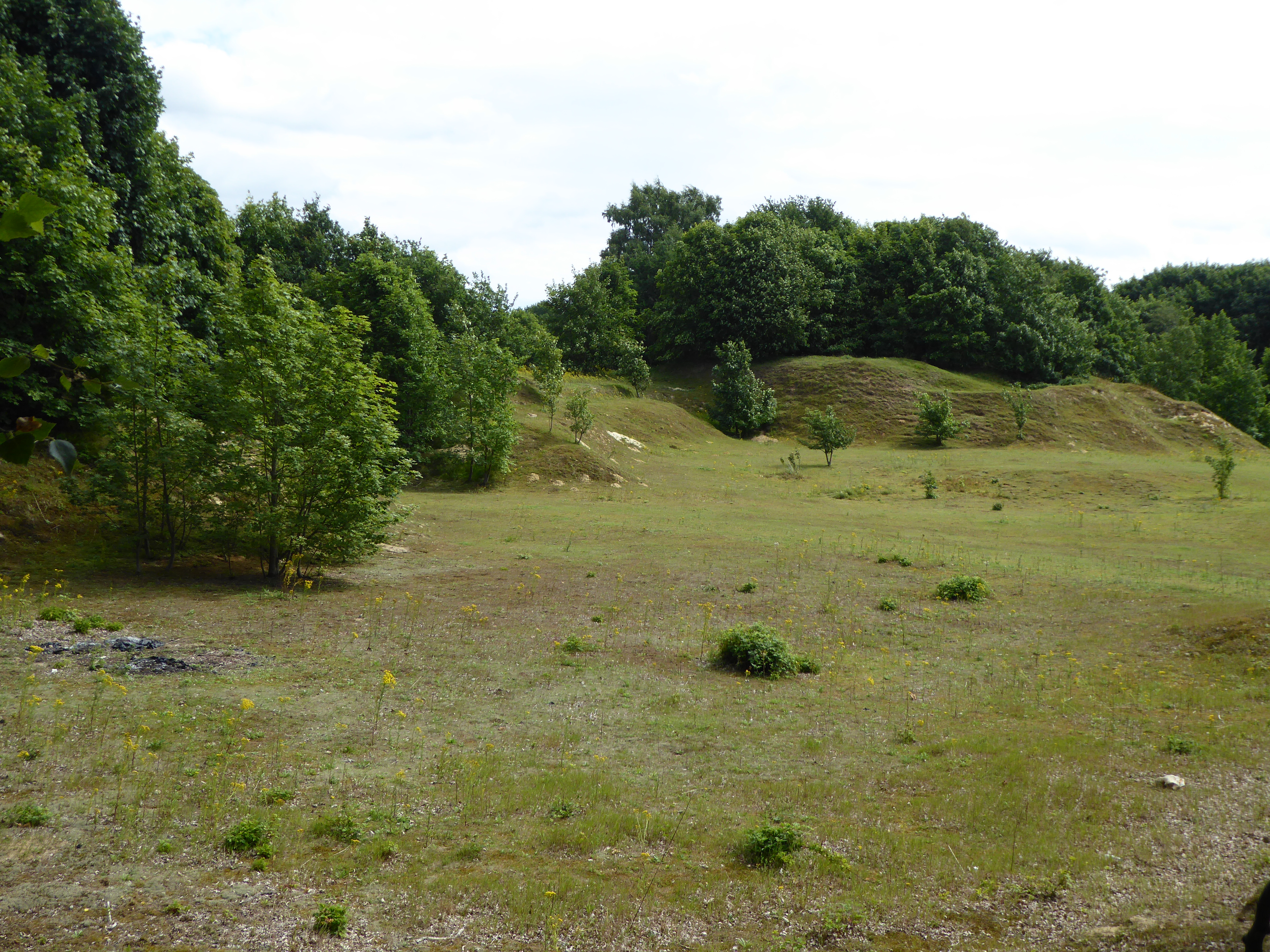
Alder Carr, Suffolk (Wood, Forest) is a picturesque woodland area located in the county of Suffolk, England. Spread across approximately 100 acres, this enchanting forest is known for its diverse range of flora and fauna.
The woodland is dominated by alder trees, which give the area its name. These trees thrive in the wet and marshy conditions, creating a unique ecosystem. The forest floor is adorned with a carpet of vibrant wildflowers, including bluebells, primroses, and wood anemones, providing a burst of color during the spring season.
Alder Carr is a haven for wildlife enthusiasts, as it is home to a variety of animals and birds. Visitors may spot otters, water voles, and frogs in the marshy areas, while birds such as kingfishers, herons, and warblers can be seen darting through the trees. The forest is also known for its butterfly population, with species such as the purple emperor and white admiral fluttering amidst the foliage.
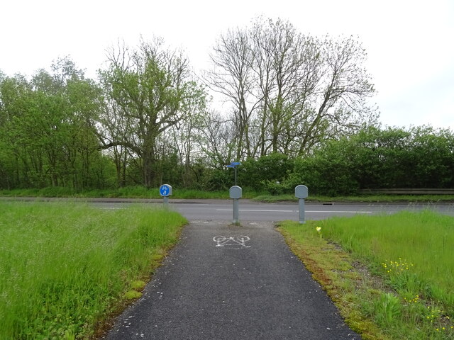
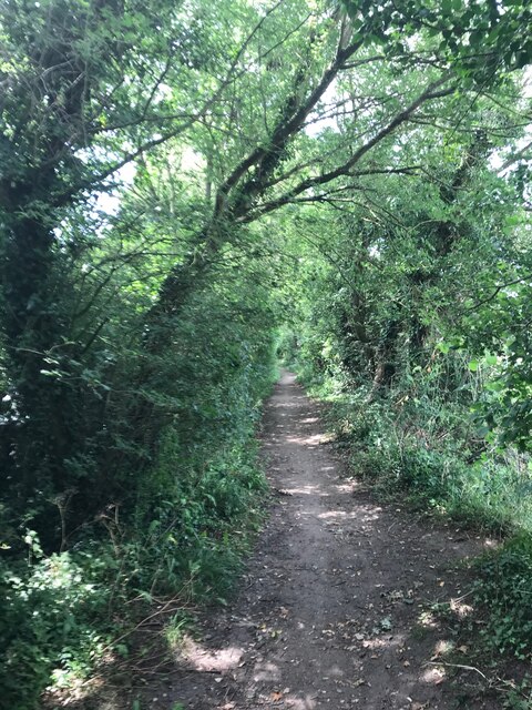
The woodland offers several walking trails, allowing visitors to explore its natural beauty at their own pace. These paths wind through the forest, offering glimpses of serene ponds and stunning panoramic views. The peaceful ambiance and tranquil atmosphere make Alder Carr a popular destination for nature lovers and those seeking a respite from the hustle and bustle of everyday life.
Overall, Alder Carr, Suffolk (Wood, Forest) is a captivating woodland area that showcases the beauty of Suffolk's natural landscape. Its diverse range of plant and animal life, coupled with its scenic trails, make it a must-visit destination for those seeking a peaceful and immersive experience in nature.
If you have any feedback on the listing, please let us know in the comments section below.
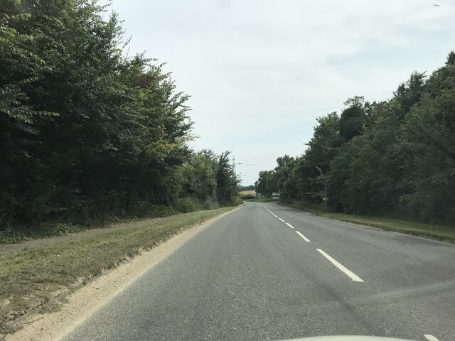
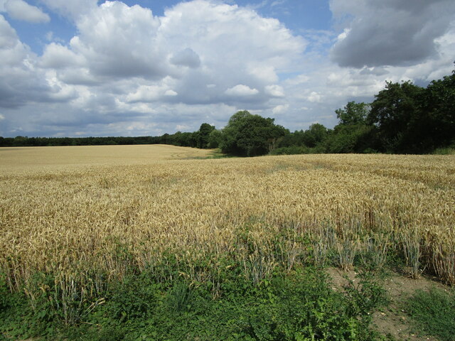
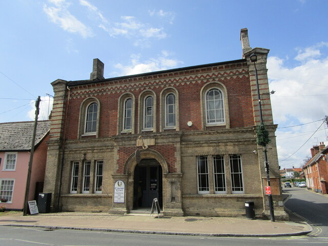
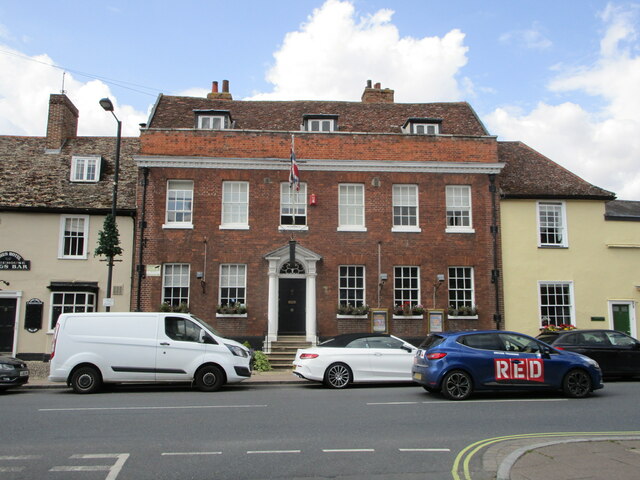
Alder Carr Images
Images are sourced within 2km of 52.15718/1.0578117 or Grid Reference TM0955. Thanks to Geograph Open Source API. All images are credited.

Alder Carr is located at Grid Ref: TM0955 (Lat: 52.15718, Lng: 1.0578117)
Administrative County: Suffolk
District: Mid Suffolk
Police Authority: Suffolk
What 3 Words
///invested.overtones.tested. Near Needham Market, Suffolk
Nearby Locations
Related Wikis

Creeting St Mary Windmill
Creeting St Mary Windmill is a Grade II listed dovecote at Creeting St Mary, Suffolk, England which has been restored. It was originally the body of a...
Creeting St Mary Pits
Creeting St Mary Pits is a 5.4-hectare (13-acre) geological Site of Special Scientific Interest south Creeting St Mary in Suffolk, England. It is a Geological...

Needham Lake
Needham Lake is a 9.9 hectare Local Nature Reserve in Needham Market in Suffolk. It is owned and managed by Mid Suffolk District Council. It is a Regionally...

Needham Market railway station
Needham Market railway station is on the Great Eastern Main Line (GEML) in the East of England, serving the town of Needham Market, Suffolk. It is 77 miles...
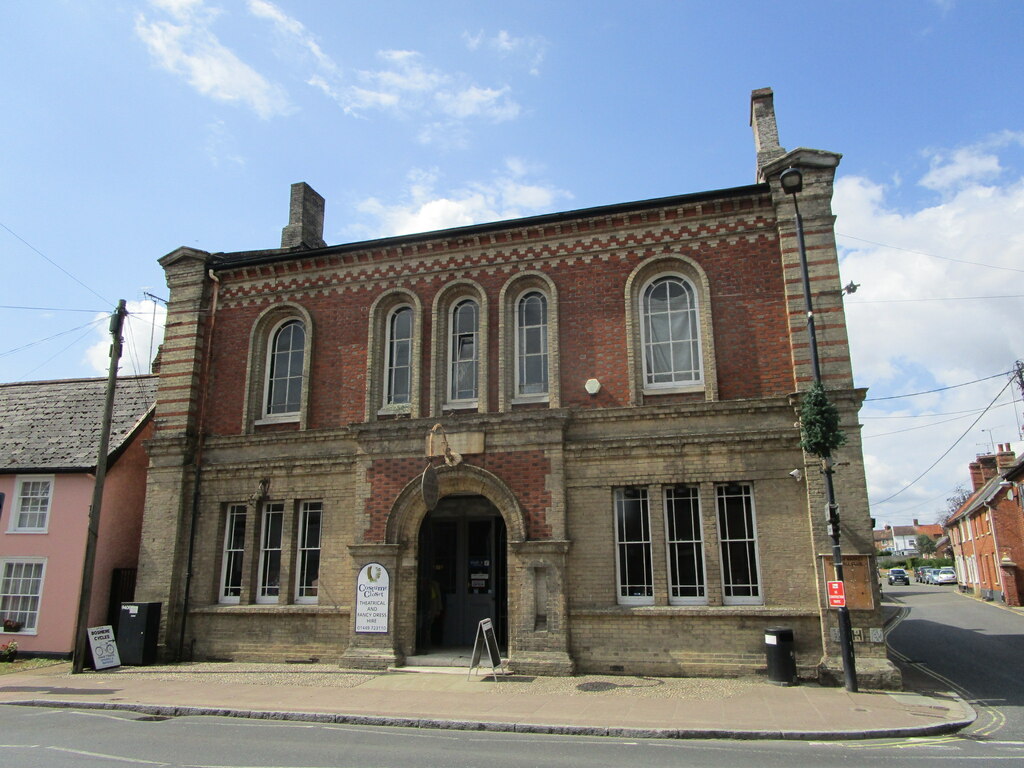
Old Town Hall, Needham Market
The Old Town Hall is a municipal building in the High Street in Needham Market, Suffolk, England. The building, which now accommodates an antiques centre...

Mid Suffolk
Mid Suffolk is a local government district in Suffolk, England. Its council was based in Needham Market until late 2017, and is currently sharing offices...

Needham Market
Needham Market is a town in the Mid Suffolk district of Suffolk, England. Nearby villages include Barking, Darmsden, Badley and Creeting St Mary. The town...
Needham Market F.C.
Needham Market Football Club is a football club based in Needham Market, Suffolk, England. They are currently members of the Southern League Premier Division...
Related Videos

Secret History of Needham Market in Suffolk : Walking the Corpse Way
The secret history of Needham Market in Suffolk. How this little town isolated itself during the Bubonic Plague of 1665-1666, and ...

Pitmen Travel | Needham Market
Go behind the scenes of Hednesford's game at Needham Market in a mini edition of Pitmen Travel Hednesford Town Website ...

Penny's first trip to Needham Lake 29.07.23
Penny's first outing to one of our favourite walking spots – Needham Lake in Needham Market, Suffolk. Other than walking around ...

Needham lake, Ipswich, UK
Lovely moments with friends and family.
Nearby Amenities
Located within 500m of 52.15718,1.0578117Have you been to Alder Carr?
Leave your review of Alder Carr below (or comments, questions and feedback).