Creeting Hills
Settlement in Suffolk Mid Suffolk
England
Creeting Hills
Creeting Hills is a small village located in the county of Suffolk, England. Situated approximately 10 miles north of Ipswich, it is nestled within the picturesque countryside, offering residents and visitors a peaceful and idyllic setting.
The village is characterized by its rolling hills, green fields, and abundance of natural beauty. It is surrounded by woodland areas, providing ample opportunities for outdoor activities such as hiking, birdwatching, and picnicking. The rural landscape creates a tranquil atmosphere, attracting those seeking a break from the hustle and bustle of city life.
Creeting Hills is a close-knit community with a population of around 500 people. The village features a charming mix of traditional cottages and modern houses, creating a harmonious blend of old and new architecture. The village center hosts a few amenities, including a local pub, a village hall, and a primary school, catering to the needs of its residents.
For those looking to explore beyond the village, Creeting Hills offers convenient access to nearby towns and cities. Ipswich, a historic town with a rich heritage, is a short drive away and provides a wide range of amenities, including shopping centers, cultural attractions, and leisure activities.
Overall, Creeting Hills is a hidden gem in Suffolk, offering a serene and picturesque setting for residents and visitors alike. Its natural beauty, tight-knit community, and proximity to larger towns make it an attractive place to live or visit for those seeking a peaceful countryside experience.
If you have any feedback on the listing, please let us know in the comments section below.
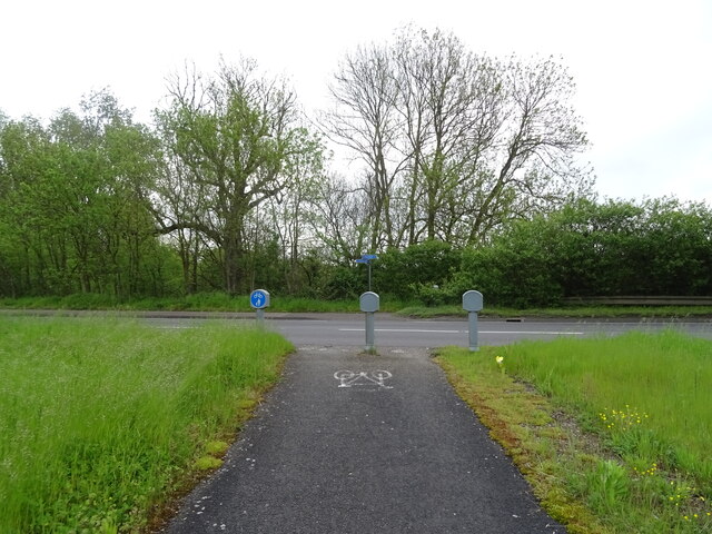
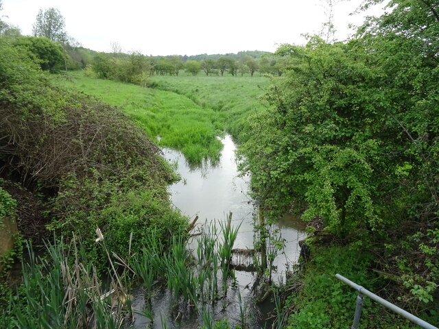
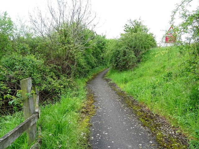
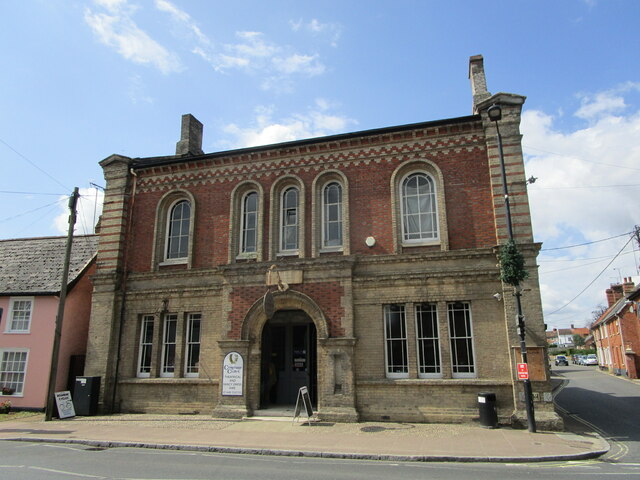
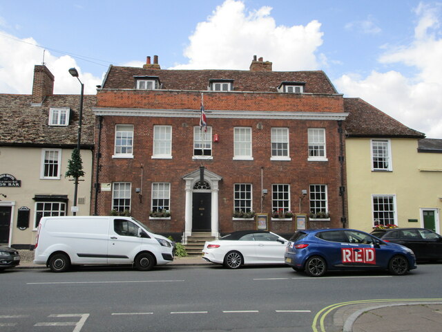
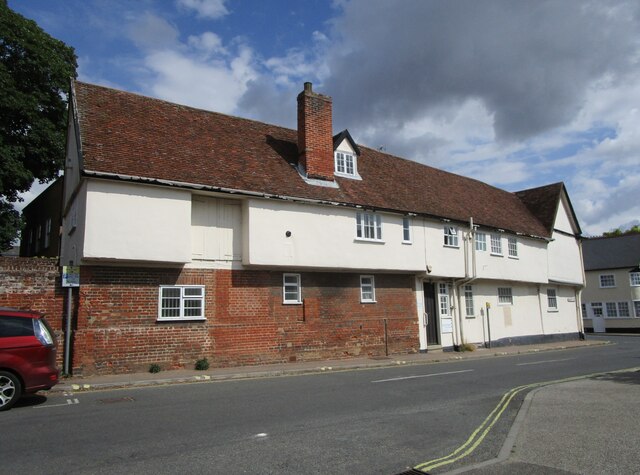
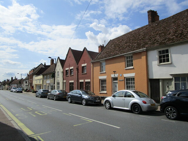
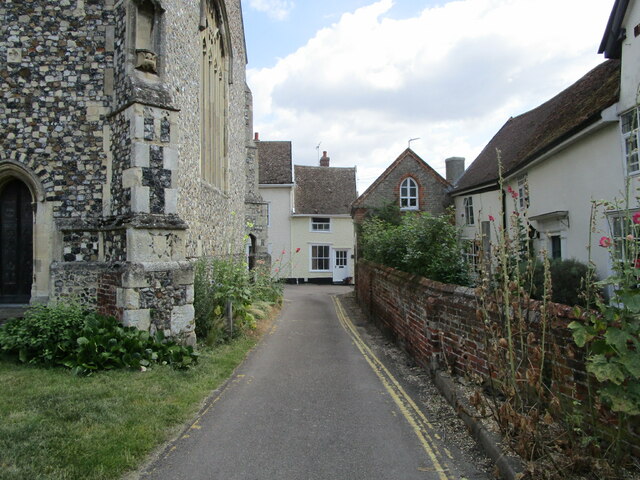
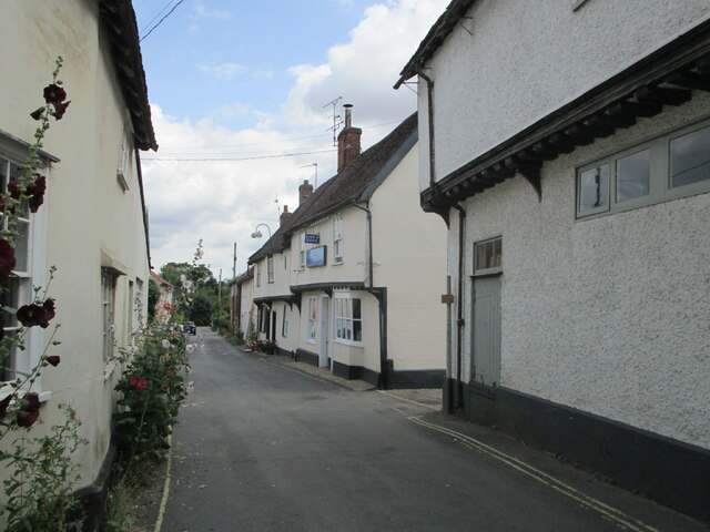
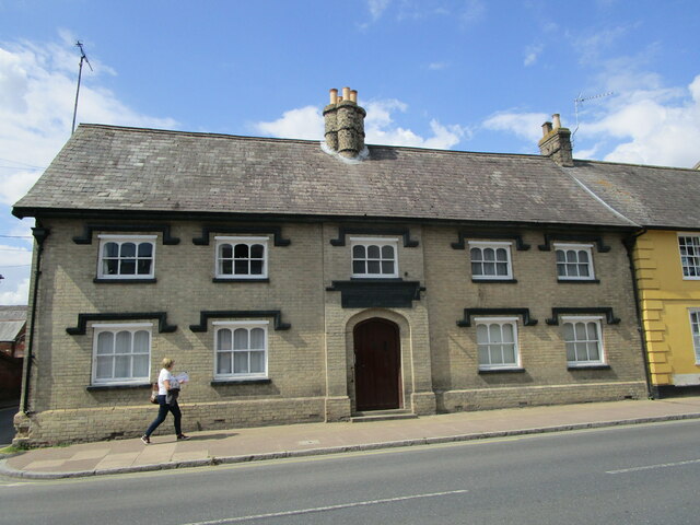
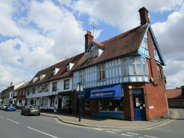
Creeting Hills Images
Images are sourced within 2km of 52.159599/1.0644264 or Grid Reference TM0955. Thanks to Geograph Open Source API. All images are credited.


Creeting Hills is located at Grid Ref: TM0955 (Lat: 52.159599, Lng: 1.0644264)
Administrative County: Suffolk
District: Mid Suffolk
Police Authority: Suffolk
What 3 Words
///landings.racetrack.paddle. Near Needham Market, Suffolk
Nearby Locations
Related Wikis
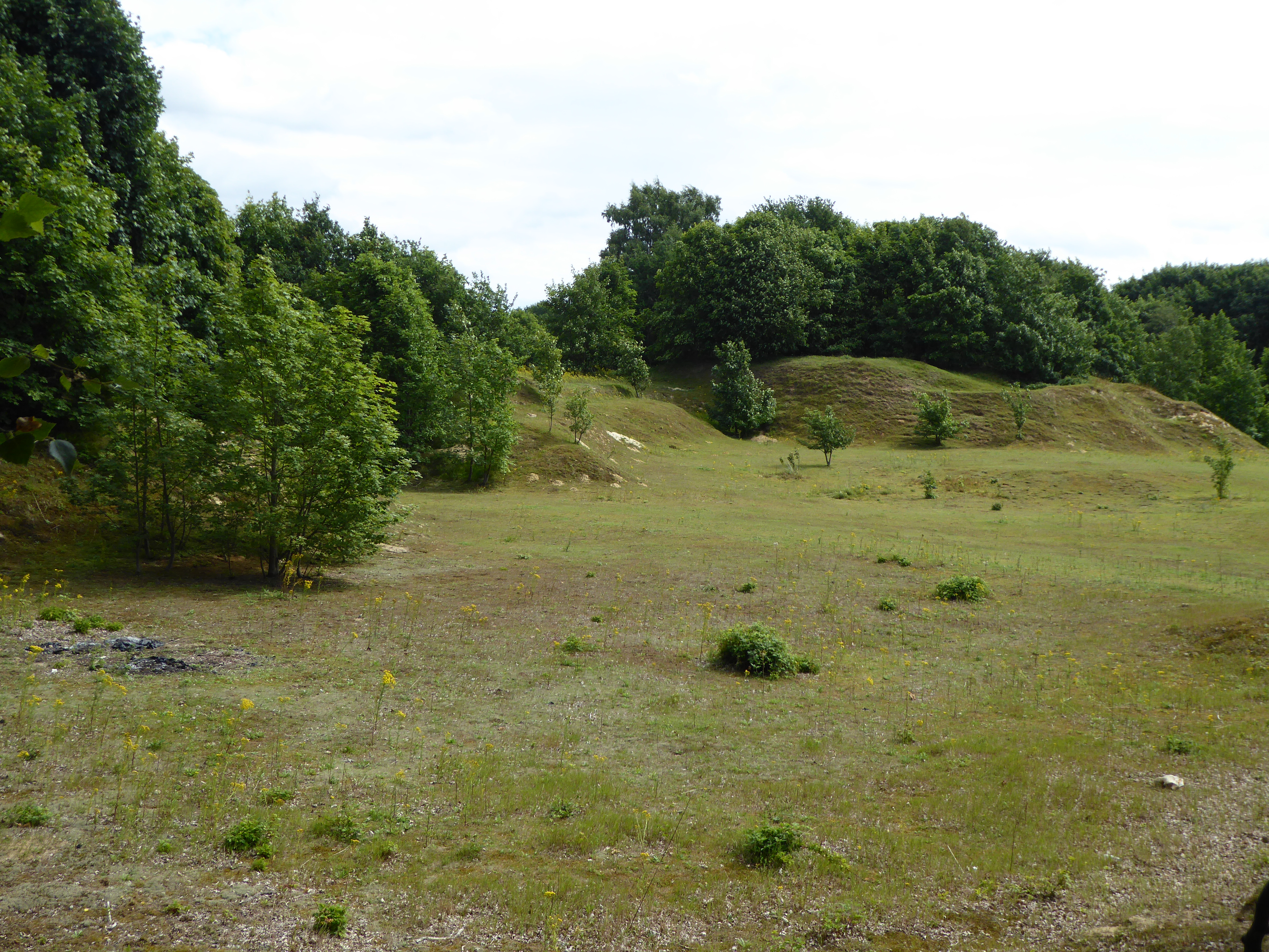
Creeting St Mary Pits
Creeting St Mary Pits is a 5.4-hectare (13-acre) geological Site of Special Scientific Interest south Creeting St Mary in Suffolk, England. It is a Geological...

Creeting St Mary Windmill
Creeting St Mary Windmill is a Grade II listed dovecote at Creeting St Mary, Suffolk, England which has been restored. It was originally the body of a...

Needham Lake
Needham Lake is a 9.9 hectare Local Nature Reserve in Needham Market in Suffolk. It is owned and managed by Mid Suffolk District Council. It is a Regionally...

Needham Market railway station
Needham Market railway station is on the Great Eastern Main Line (GEML) in the East of England, serving the town of Needham Market, Suffolk. It is 77 miles...
Nearby Amenities
Located within 500m of 52.159599,1.0644264Have you been to Creeting Hills?
Leave your review of Creeting Hills below (or comments, questions and feedback).