Oak Hill

Hill, Mountain in Suffolk Mid Suffolk

England

Oak Hill

A140 north at turning for B1078
A140 north at turning for B1078 Credit: Roy Hughes

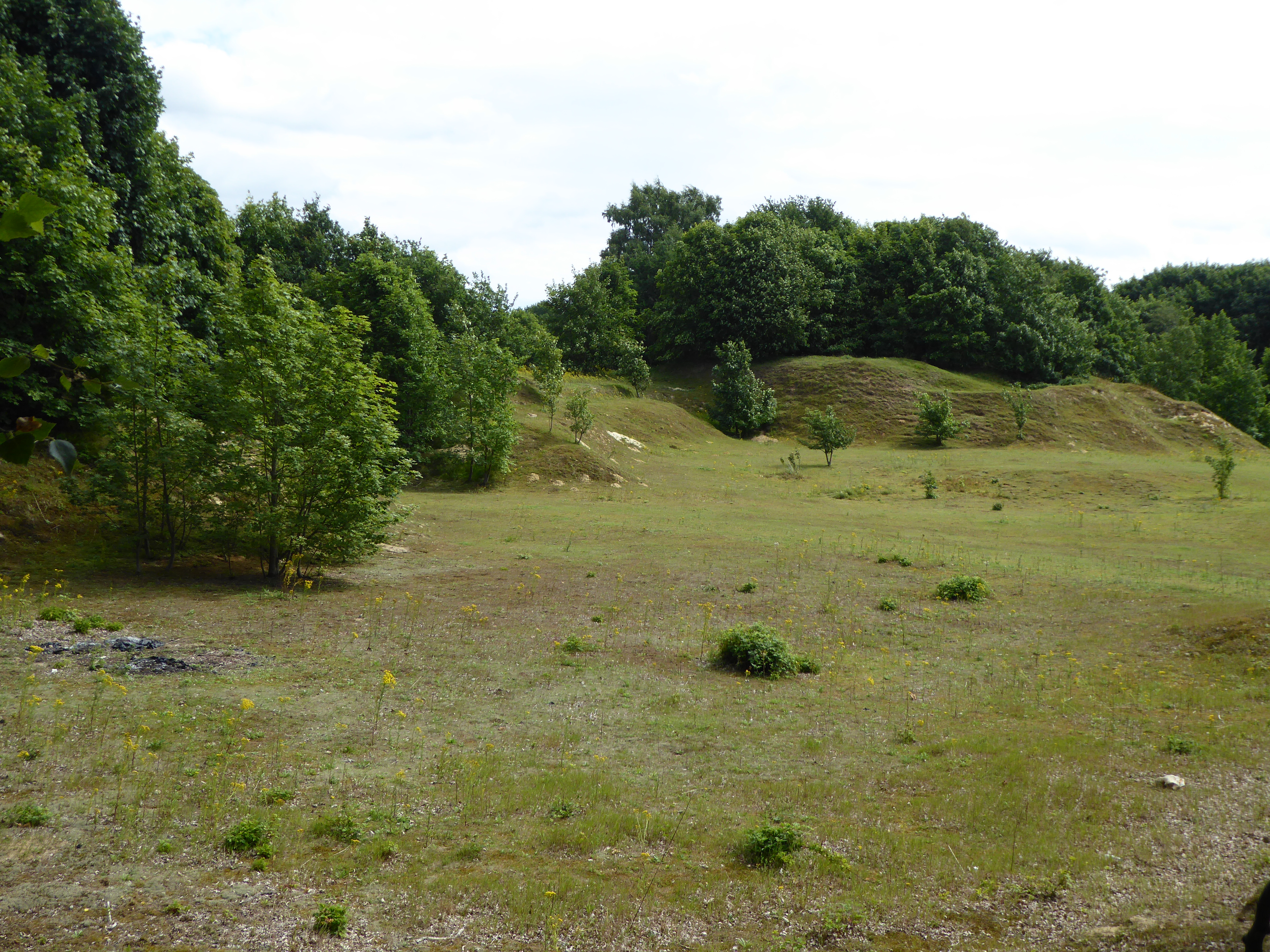
Oak Hill is a prominent hill located in the county of Suffolk, England. It is situated near the village of Oakley, in the Mid Suffolk district. With its elevation reaching approximately 100 meters (330 feet), Oak Hill stands as a notable feature in the surrounding landscape.

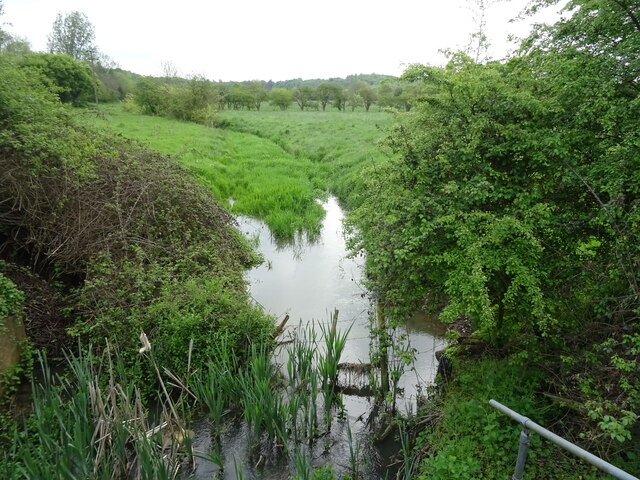
The hill is characterized by its dense oak tree coverage, which gives it its name. The abundance of these trees adds to the natural beauty of the area, especially during the autumn season when the leaves turn vibrant shades of red, orange, and yellow.

Oak Hill offers breathtaking panoramic views of the Suffolk countryside from its summit. On a clear day, visitors can see the rolling hills, meandering rivers, and picturesque villages that dot the region. The hilltop also provides a prime spot for birdwatching enthusiasts, as a variety of avian species can be spotted in the area.

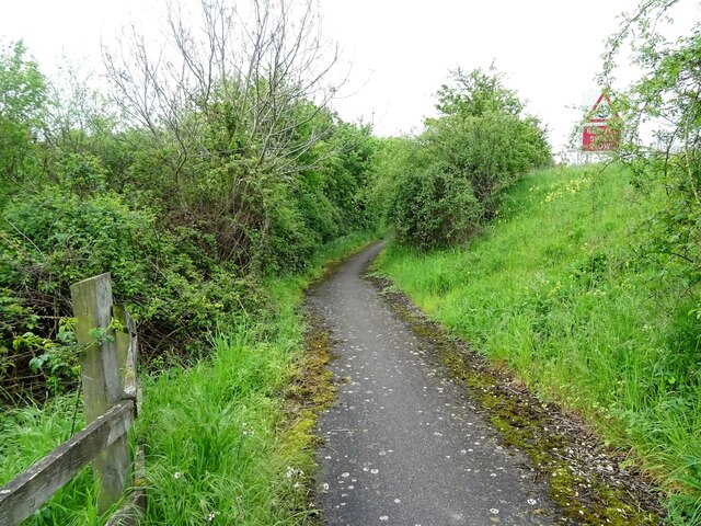
The hill has gained popularity among hikers and nature lovers, who are drawn to its tranquil atmosphere and scenic surroundings. Walking trails and footpaths crisscross the hillside, providing opportunities for leisurely strolls or more challenging hikes.

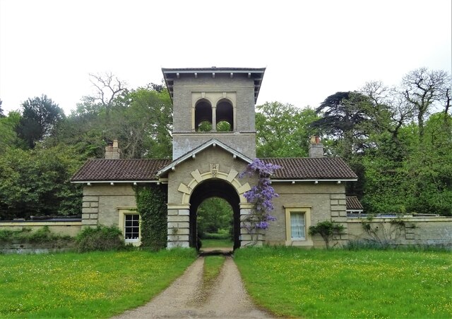
The surrounding area of Oak Hill is known for its rich history and heritage, with several historical sites and landmarks located nearby. These include ancient burial mounds, medieval churches, and remnants of old settlements.

Overall, Oak Hill stands as a natural gem in Suffolk, offering visitors an escape into the beauty of the English countryside while providing a glimpse into the region's cultural past.

If you have any feedback on the listing, please let us know in the comments section below.
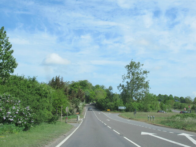
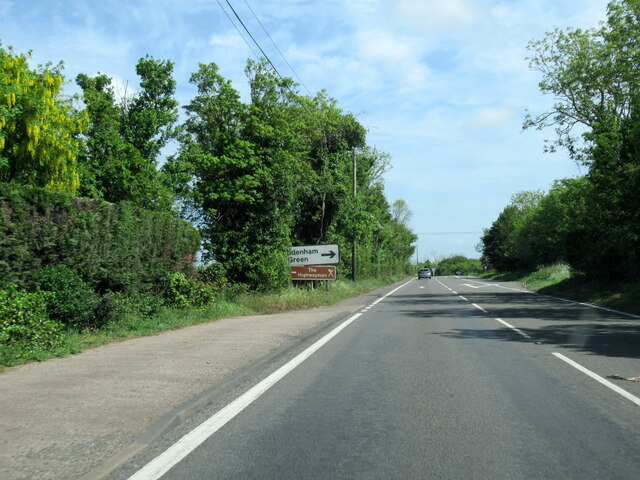
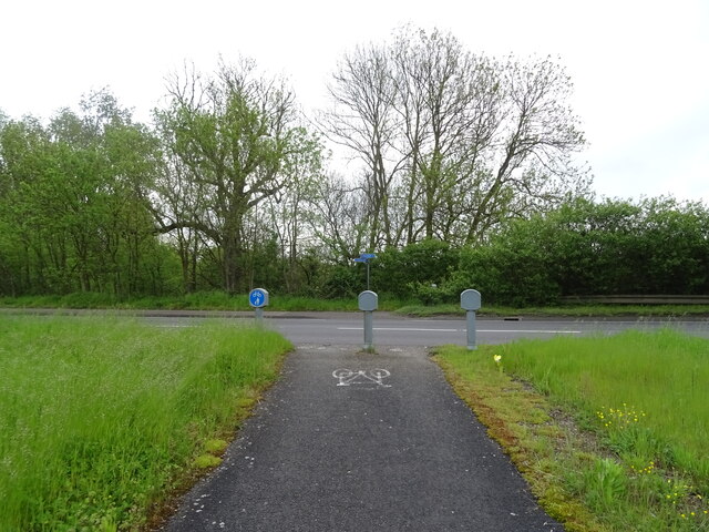
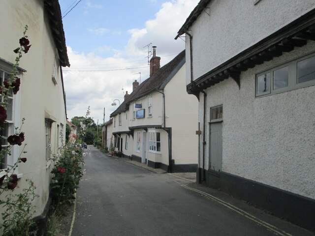
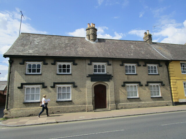
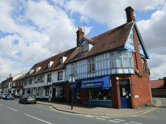
Oak Hill Images

Images are sourced within 2km of 52.156278/1.0620926 or Grid Reference TM0955. Thanks to Geograph Open Source API. All images are credited.

A140 north at turning for B1078
A140 north at turning for Coddenham Green
National Cycle Route 51 Crossing the busy A140.
National Cycle Route 51
Crossing the busy A140.
Tributary of the River Gipping
National Cycle Route 51 Beside the A140 towards Ipswich.
National Cycle Route 51
Beside the A140 towards Ipswich.
Gatehouse to Shrubland Park
High Street, Needham Market Needham Market like many towns and villages in Suffolk has many buildings of considerable age. Some in this view date back to the fifteenth century though often obscured by later frontages.
High Street, Needham Market
Needham Market like many towns and villages in Suffolk has many buildings of considerable age. Some in this view date back to the fifteenth century though often obscured by later frontages.
Lane between the High Street and King William Street, Needham Market The church of St. John the Baptist on the left. The house facing the camera is fargment of a larger sixteenth century building <span class="nowrap"><a title="https://historicengland.org.uk/listing/the-list/list-entry/1253683?section=official-listing" rel="nofollow ugc noopener" href="https://historicengland.org.uk/listing/the-list/list-entry/1253683?section=official-listing">Link</a><img style="margin-left:2px;" alt="External link" title="External link - shift click to open in new window" src="https://s1.geograph.org.uk/img/external.png" width="10" height="10"/></span>
Lane between the High Street and King William Street, Needham Market
The church of St. John the Baptist on the left. The house facing the camera is fargment of a larger sixteenth century building LinkExternal link
Bridge Street, Needham Market The fish and chip shop <span class="nowrap"><a title="https://historicengland.org.uk/listing/the-list/list-entry/1232023?section=official-listing" rel="nofollow ugc noopener" href="https://historicengland.org.uk/listing/the-list/list-entry/1232023?section=official-listing">Link</a><img style="margin-left:2px;" alt="External link" title="External link - shift click to open in new window" src="https://s1.geograph.org.uk/img/external.png" width="10" height="10"/></span> on the right and the adjacent buildings date from the sixteenth century.
Bridge Street, Needham Market
The fish and chip shop LinkExternal link on the right and the adjacent buildings date from the sixteenth century.
The Almshouses, Needham Market A frontage of 1836 hides a much older building <span class="nowrap"><a title="https://historicengland.org.uk/listing/the-list/list-entry/1261663?section=official-listing" rel="nofollow ugc noopener" href="https://historicengland.org.uk/listing/the-list/list-entry/1261663?section=official-listing">Link</a><img style="margin-left:2px;" alt="External link" title="External link - shift click to open in new window" src="https://s1.geograph.org.uk/img/external.png" width="10" height="10"/></span>
The Almshouses, Needham Market
A frontage of 1836 hides a much older building LinkExternal link
High Street, Needham Market The building nearest the camera is a rare nineteenth century intrusion adjacent to sixteenth century buildings <span class="nowrap"><a title="https://historicengland.org.uk/listing/the-list/list-entry/1261670?section=official-listing" rel="nofollow ugc noopener" href="https://historicengland.org.uk/listing/the-list/list-entry/1261670?section=official-listing">Link</a><img style="margin-left:2px;" alt="External link" title="External link - shift click to open in new window" src="https://s1.geograph.org.uk/img/external.png" width="10" height="10"/></span> more typical of the High Street.
High Street, Needham Market
The building nearest the camera is a rare nineteenth century intrusion adjacent to sixteenth century buildings LinkExternal link more typical of the High Street.
High Street, Needham Market The former Bull Inn (beyond the pedestrian crossing) closed in 1985 and dates from the sixteenth century <span class="nowrap"><a title="https://historicengland.org.uk/listing/the-list/list-entry/1277416?section=official-listing" rel="nofollow ugc noopener" href="https://historicengland.org.uk/listing/the-list/list-entry/1277416?section=official-listing">Link</a><img style="margin-left:2px;" alt="External link" title="External link - shift click to open in new window" src="https://s1.geograph.org.uk/img/external.png" width="10" height="10"/></span> The adjacent houses are of similar date <span class="nowrap"><a title="https://historicengland.org.uk/listing/the-list/list-entry/1253675?section=official-listing" rel="nofollow ugc noopener" href="https://historicengland.org.uk/listing/the-list/list-entry/1253675?section=official-listing">Link</a><img style="margin-left:2px;" alt="External link" title="External link - shift click to open in new window" src="https://s1.geograph.org.uk/img/external.png" width="10" height="10"/></span>
High Street, Needham Market
The former Bull Inn (beyond the pedestrian crossing) closed in 1985 and dates from the sixteenth century LinkExternal link The adjacent houses are of similar date LinkExternal link
Pillar House, Needham Market A nineteenth century frontage hiding a house, parts of which date to the fourteenth century <span class="nowrap"><a title="https://historicengland.org.uk/listing/the-list/list-entry/1253676?section=official-listing" rel="nofollow ugc noopener" href="https://historicengland.org.uk/listing/the-list/list-entry/1253676?section=official-listing">Link</a><img style="margin-left:2px;" alt="External link" title="External link - shift click to open in new window" src="https://s1.geograph.org.uk/img/external.png" width="10" height="10"/></span>
Pillar House, Needham Market
A nineteenth century frontage hiding a house, parts of which date to the fourteenth century LinkExternal link
Church of St. John the Baptist, Needham Market An odd exterior hiding one of England's finest medieval roofs <span class="nowrap"><a title="https://historicengland.org.uk/listing/the-list/list-entry/1254254?section=official-listing" rel="nofollow ugc noopener" href="https://historicengland.org.uk/listing/the-list/list-entry/1254254?section=official-listing">Link</a><img style="margin-left:2px;" alt="External link" title="External link - shift click to open in new window" src="https://s1.geograph.org.uk/img/external.png" width="10" height="10"/></span>
Church of St. John the Baptist, Needham Market
An odd exterior hiding one of England's finest medieval roofs LinkExternal link
High Street, Needham Market The building closest to the camera dates from the fifteenth century <span class="nowrap"><a title="https://historicengland.org.uk/listing/the-list/list-entry/1261672?section=official-listing" rel="nofollow ugc noopener" href="https://historicengland.org.uk/listing/the-list/list-entry/1261672?section=official-listing">Link</a><img style="margin-left:2px;" alt="External link" title="External link - shift click to open in new window" src="https://s1.geograph.org.uk/img/external.png" width="10" height="10"/></span>
High Street, Needham Market
The building closest to the camera dates from the fifteenth century LinkExternal link
High Street, Needham Market Largely sixteenth century buildings.
High Street, Needham Market
Largely sixteenth century buildings.
Bridge near Hawks Mill A plaque on the bridge dates it to 1922
Bridge near Hawks Mill
A plaque on the bridge dates it to 1922
Buck of Former post Mill at Alder Carr Farm This is the body or buck of a former post mill that is early 19th century. It was moved to this location before 1880 and used as a dovecote. It is now in use as a shop. Listed Grade II.
Buck of Former post Mill at Alder Carr Farm
This is the body or buck of a former post mill that is early 19th century. It was moved to this location before 1880 and used as a dovecote. It is now in use as a shop. Listed Grade II.
Show me another place!

Oak Hill is located at Grid Ref: TM0955 (Lat: 52.156278, Lng: 1.0620926)

Administrative County: Suffolk

District: Mid Suffolk

Police Authority: Suffolk

What 3 Words

///schools.helm.nerves. Near Needham Market, Suffolk

Related Wikis

Creeting St Mary Pits

Creeting St Mary Pits is a 5.4-hectare (13-acre) geological Site of Special Scientific Interest south Creeting St Mary in Suffolk, England. It is a Geological...

Creeting St Mary Windmill

Creeting St Mary Windmill is a Grade II listed dovecote at Creeting St Mary, Suffolk, England which has been restored. It was originally the body of a...

Needham Lake

Needham Lake is a 9.9 hectare Local Nature Reserve in Needham Market in Suffolk. It is owned and managed by Mid Suffolk District Council. It is a Regionally...

Needham Market railway station

Needham Market railway station is on the Great Eastern Main Line (GEML) in the East of England, serving the town of Needham Market, Suffolk. It is 77 miles...

Nearby Amenities

Located within 500m of 52.156278,1.0620926
Jasper Lodge
Local Ref: adj
Naptan AtcoCode: 390040526
Naptan Bearing: SE
Naptan BusStopType: CUS
Naptan CommonName: Jasper Lodge
Naptan Landmark: Jasper Lodge
Naptan NaptanCode: sufgajag
Naptan Street: Flordon Road
Naptan Verified: no
Source: naptan_import
Lat/Long: 52.1537083/1.0659636
Jasper Lodge
Local Ref: opp
Naptan AtcoCode: 390040527
Naptan Bearing: NW
Naptan BusStopType: CUS
Naptan CommonName: Jasper Lodge
Naptan Landmark: Jasper Lodge
Naptan NaptanCode: sufgajaj
Naptan Street: Flordon Road
Naptan Verified: no
Source: naptan_import
Lat/Long: 52.1536829/1.0659034
Alder Carr Farm Shop
Addr City: Ipswich
Addr Housename: Alder Carr Farm
Addr Postcode: IP6 8LX
Addr Street: St Marys Road
Addr Village: Creeting St Mary
Fhrs Id: 1405093
Shop: convenience
Source Addr: FHRS Open Data
Website: https://www.aldercarrfarm.co.uk/
Lat/Long: 52.1561456/1.055435
Power: pole
Lat/Long: 52.1545011/1.0572088
Power: pole
Lat/Long: 52.1602291/1.0644024
Power: pole
Lat/Long: 52.1538856/1.058051
Power: pole
Lat/Long: 52.1526876/1.0597005
Guyed: yes
Height: 6
Line Attachment: pin
Material: wood
Power: pole
Lat/Long: 52.1548002/1.0558936
Power: pole
Lat/Long: 52.1553075/1.0567555
Power: pole
Lat/Long: 52.1575058/1.0605588
Power: pole
Lat/Long: 52.1567177/1.059199
Material: wood
Power: pole
Lat/Long: 52.152003/1.0606366
Power: pole
Lat/Long: 52.15328/1.0588583
Height: u
Material: wood
Power: pole
Lat/Long: 52.1547996/1.0558915
Parking
Lat/Long: 52.1581092/1.0628774
Parking
Lat/Long: 52.1543432/1.0679511
Phone
Emergency: phone
Lat/Long: 52.1541688/1.0682031
Phone
Emergency: phone
Lat/Long: 52.1583566/1.0626082
Post Box
Operator: Royal Mail
Operator Wikidata: Q638098
Post Box Mounting: pier
Post Box Type: lamp
Ref: IP6 1393
Lat/Long: 52.1545227/1.0647547
Natural: rock
Lat/Long: 52.1531131/1.0590581
Bench
Lat/Long: 52.1533606/1.0574944
The data included in this document is from www.openstreetmap.org. The data is made available under ODbL.

Have you been to Oak Hill?

Leave your review of Oak Hill below (or comments, questions and feedback).