Four Oaks
Settlement in Sussex Rother
England
Four Oaks
Four Oaks is a small village located in the county of Sussex, England. Situated approximately 12 miles northwest of the bustling city of Brighton, Four Oaks offers a peaceful and picturesque setting for its residents. The village is nestled amidst the rolling hills and lush green countryside that Sussex is renowned for.
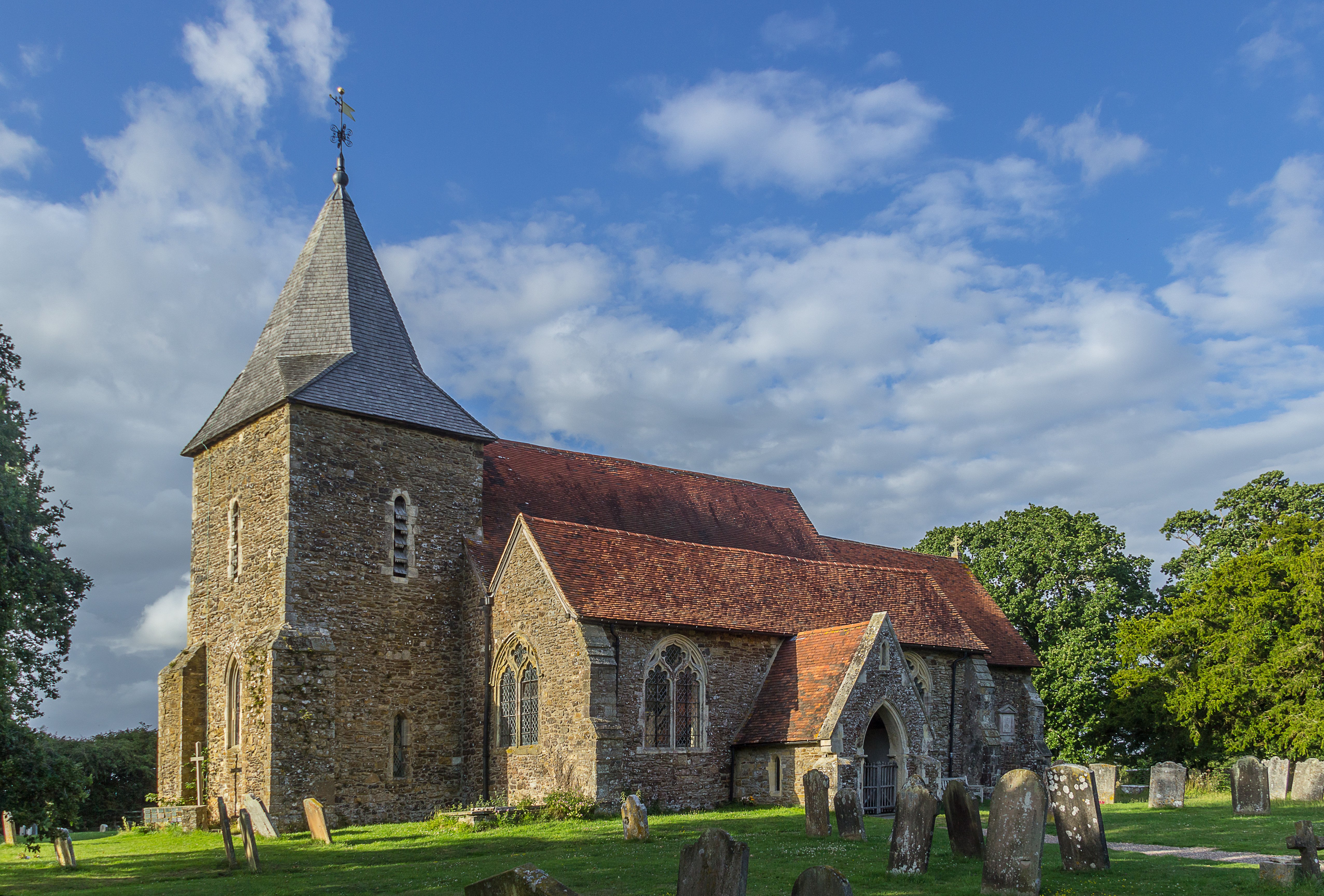
With a population of around 500, Four Oaks maintains its quaint and close-knit community atmosphere. The village is known for its charming and well-preserved historic buildings, including the beautiful 15th-century St. Mary's Church, which serves as a focal point for both locals and visitors.
Despite its small size, Four Oaks provides its residents with essential amenities. The village boasts a local convenience store, a post office, and a cozy village pub, where locals can gather and socialize. Additionally, Four Oaks is within close proximity to larger towns and cities, ensuring that residents have access to a wider range of services and facilities.
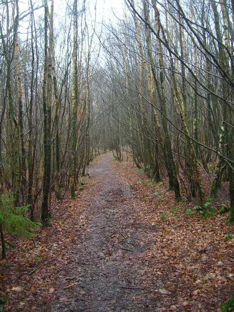
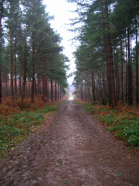
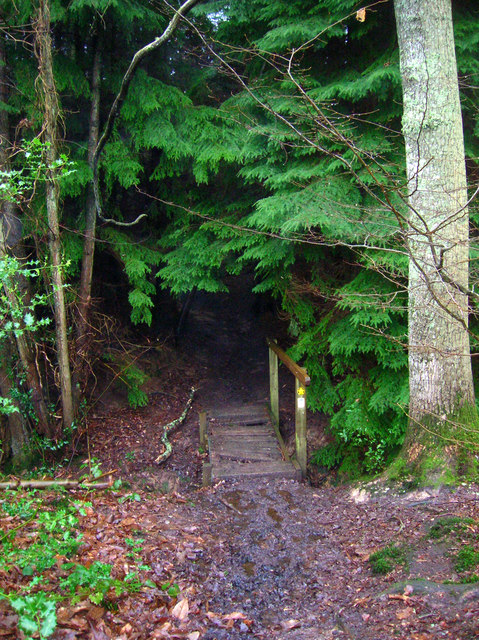
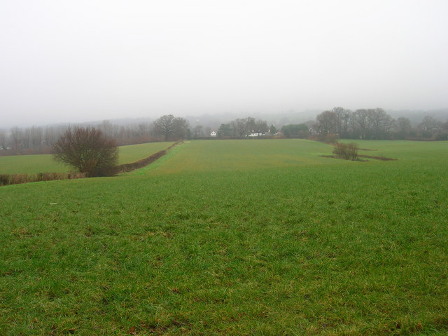
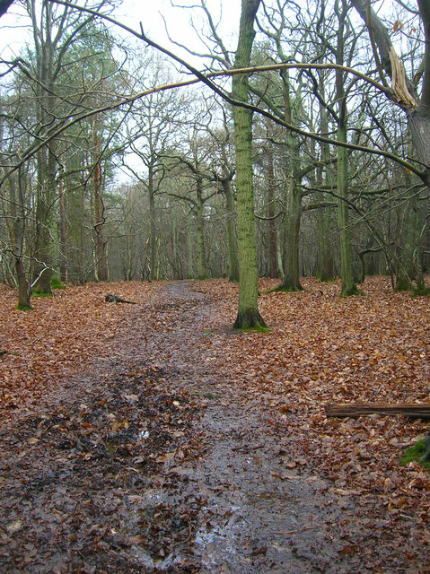
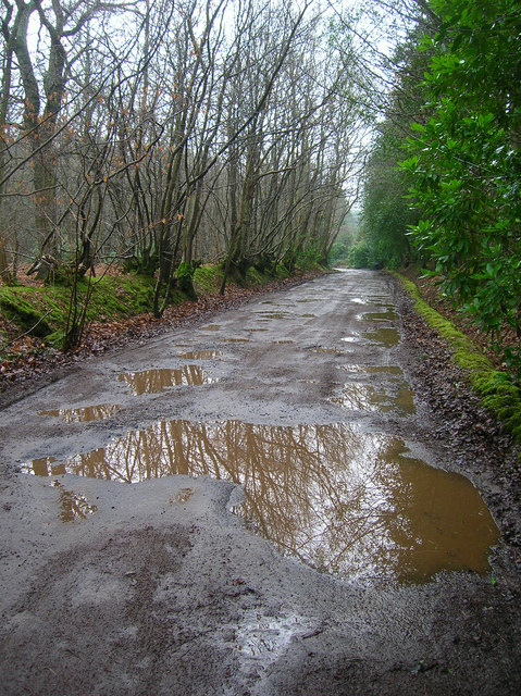
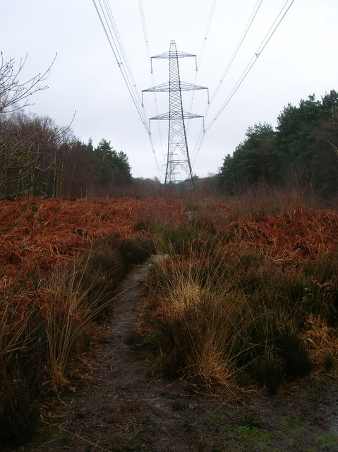
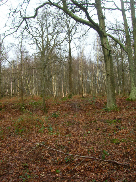
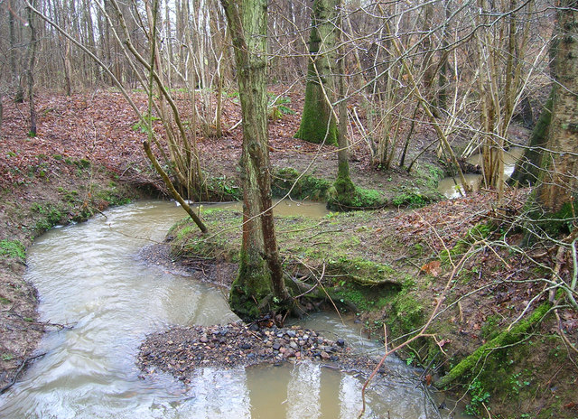
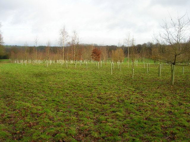
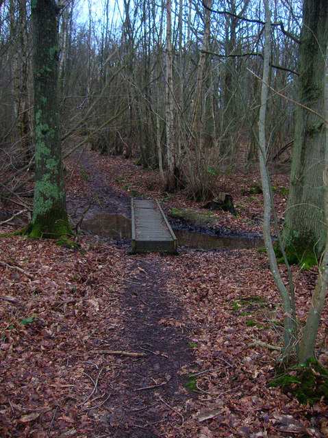
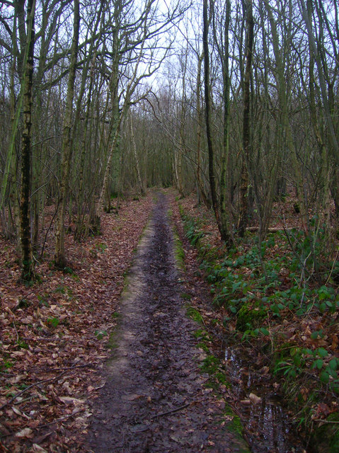
The surrounding natural beauty of Four Oaks makes it an ideal location for outdoor enthusiasts. The village is surrounded by picturesque walking trails and cycling routes, allowing residents to fully immerse themselves in the stunning Sussex countryside. The nearby South Downs National Park also offers a wealth of outdoor recreational opportunities, including hiking, horseback riding, and wildlife spotting.
Overall, Four Oaks is a hidden gem in Sussex, offering a tranquil and idyllic lifestyle amidst breathtaking natural surroundings. Its rich history, strong community spirit, and access to both rural and urban amenities make Four Oaks an appealing place to reside.
If you have any feedback on the listing, please let us know in the comments section below.
Four Oaks Images
Images are sourced within 2km of 50.985607/0.65039 or Grid Reference TQ8624. Thanks to Geograph Open Source API. All images are credited.


Four Oaks is located at Grid Ref: TQ8624 (Lat: 50.985607, Lng: 0.65039)
Administrative County: East Sussex
District: Rother
Police Authority: Sussex
What 3 Words
///overtime.tucked.permanent. Near Northiam, East Sussex
Nearby Locations
Related Wikis

Flatropers Wood
Flatropers Wood is a 38-hectare (94-acre) nature reserve in Rye in East Sussex. It is managed by the Sussex Wildlife Trust.The wood is mainly oak and...

Beckley, East Sussex
Beckley is a village and civil parish in the Rother district of East Sussex, England. It is located on the B2088 minor road above the Rother Levels five...
Peasmarsh
Peasmarsh is a village and civil parish in the Rother district, in the county of East Sussex in England. It is located on the A268 road between Rye and...

Northiam SSSI
Northiam SSSI is a 0.3-hectare (0.74-acre) geological Site of Special Scientific Interest in Northiam in East Sussex. It is a Geological Conservation Review...

Northiam
Northiam is a village and civil parish in the Rother district, in East Sussex, England, 13 miles (21 km) north of Hastings in the valley of the River Rother...
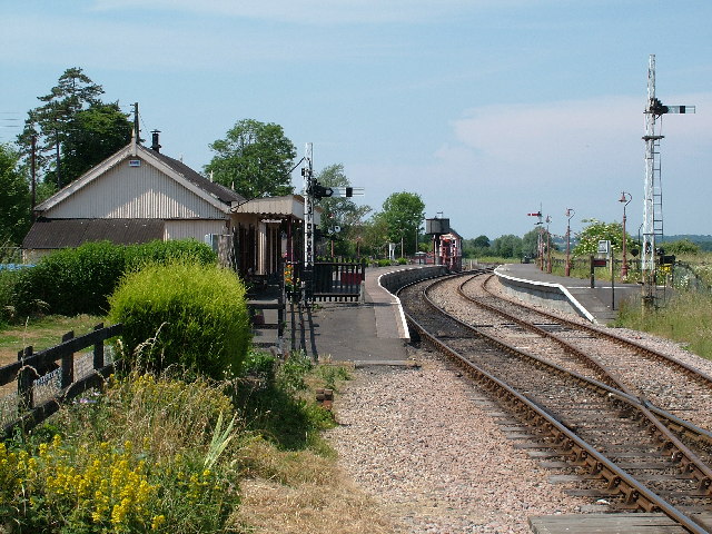
Northiam railway station
Northiam railway station is on the Kent and East Sussex Railway. It is located to the west of the level crossing on the A28 road linking the Kentish village...

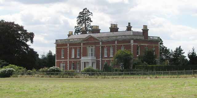
Brickwall House
Brickwall House (formerly known as Down House School and Brickwall House School) is a country house in Northiam, East Sussex, England, now run as a dyslexia...

Northiam Unitarian Chapel
Northiam Unitarian Chapel is a former place of worship for Unitarians in Northiam, a village in the district of Rother in the English county of East Sussex...
Nearby Amenities
Located within 500m of 50.985607,0.65039Have you been to Four Oaks?
Leave your review of Four Oaks below (or comments, questions and feedback).