Dean Wood
Wood, Forest in Sussex Rother
England
Dean Wood
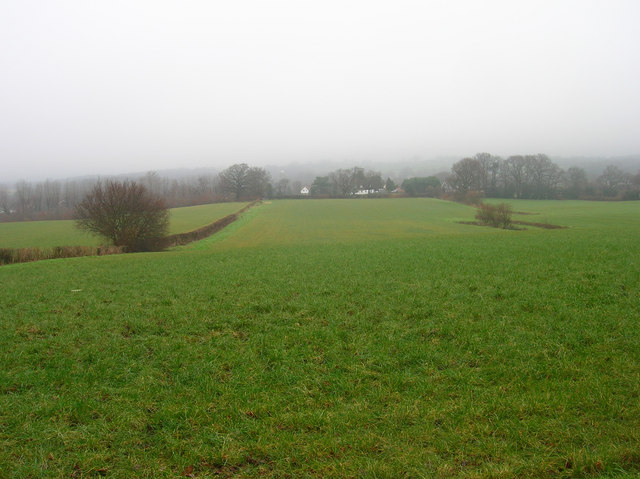
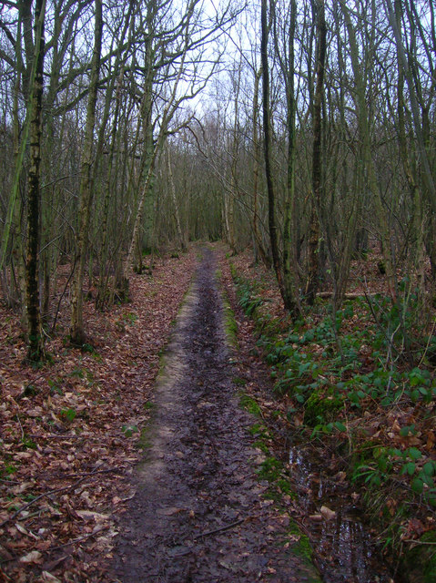
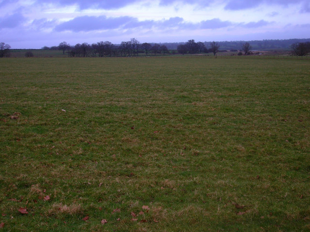
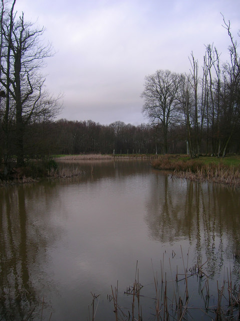
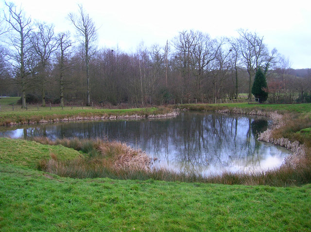
Dean Wood is a picturesque woodland located in Sussex, England. Situated near the village of Wood, it is a popular destination for nature enthusiasts and hikers alike. The forest covers a vast area of approximately 500 acres, boasting an impressive variety of flora and fauna.
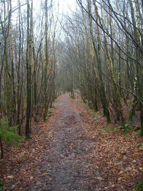
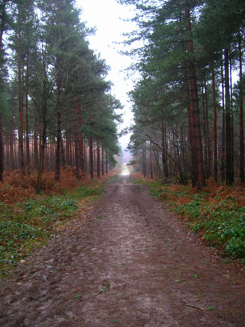
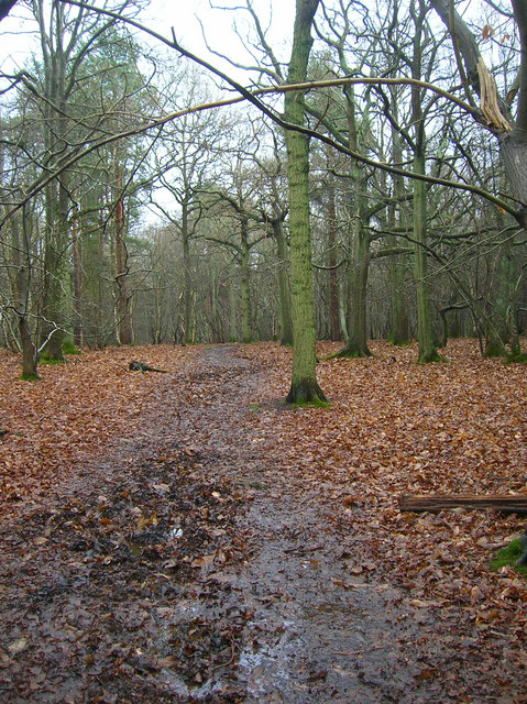
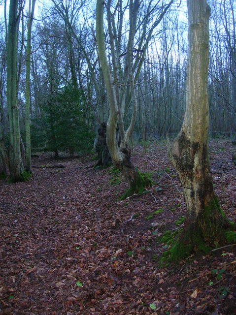
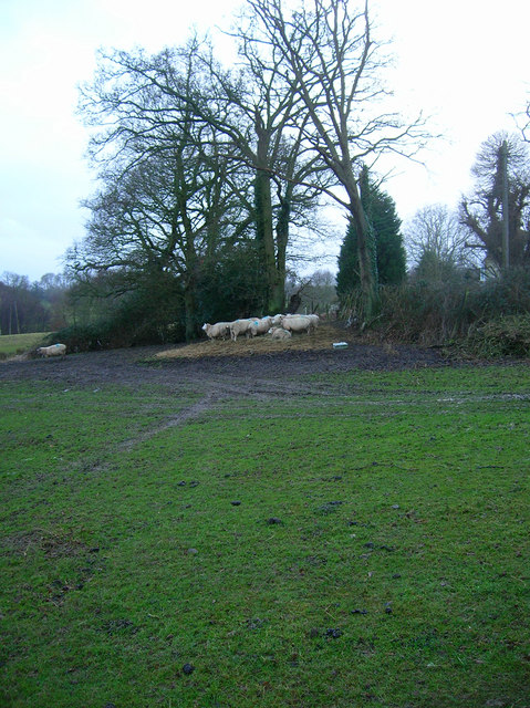
The woodland is characterized by its dense canopy of trees, predominantly consisting of oak, beech, and ash. These towering trees provide a sheltered and tranquil environment, making it an ideal habitat for a diverse range of wildlife. Visitors can expect to spot various bird species, including woodpeckers, tits, and finches, as well as small mammals like squirrels and rabbits.
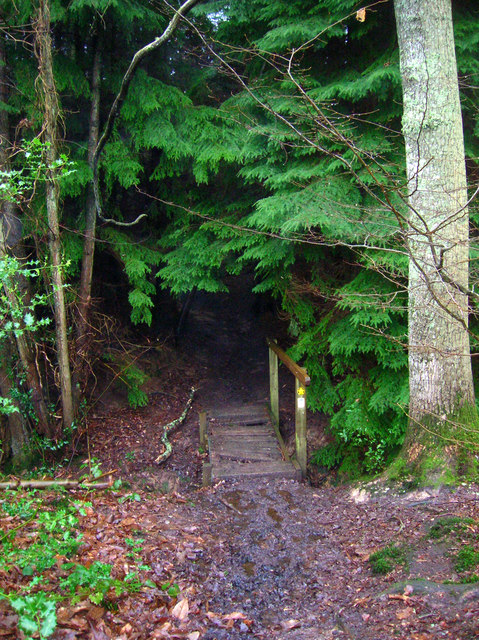
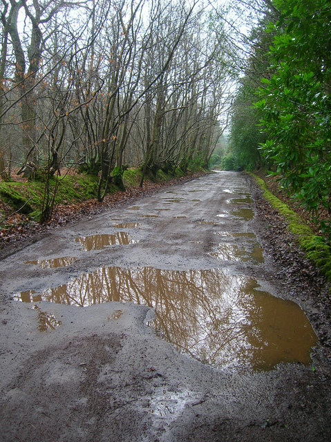
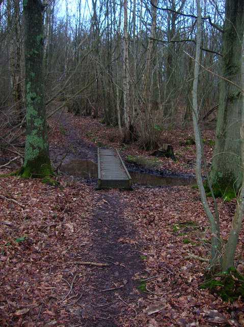
Trails and footpaths wind through the forest, offering visitors the opportunity to explore its natural beauty. The paths are well-maintained, making it accessible for people of all ages and abilities. Along the way, there are several viewpoints that provide stunning vistas of the surrounding countryside, making it a popular spot for photography enthusiasts.
Additionally, Dean Wood offers a range of recreational activities. There are designated picnic areas and benches scattered throughout the forest, providing a perfect setting for a family outing or a peaceful lunch amidst nature. Furthermore, the forest is home to a number of walking and cycling routes, catering to outdoor enthusiasts seeking an active adventure.
Overall, Dean Wood in Sussex is a captivating woodland that offers a diverse range of experiences for nature lovers. Whether it's a leisurely stroll, a bird-watching expedition, or a family picnic, this enchanting forest provides a serene and idyllic escape from the hustle and bustle of everyday life.
If you have any feedback on the listing, please let us know in the comments section below.
Dean Wood Images
Images are sourced within 2km of 50.992866/0.65165171 or Grid Reference TQ8624. Thanks to Geograph Open Source API. All images are credited.


Dean Wood is located at Grid Ref: TQ8624 (Lat: 50.992866, Lng: 0.65165171)
Administrative County: East Sussex
District: Rother
Police Authority: Sussex
What 3 Words
///shoving.outboard.cutlets. Near Northiam, East Sussex
Nearby Locations
Related Wikis

Beckley, East Sussex
Beckley is a village and civil parish in the Rother district of East Sussex, England. It is located on the B2088 minor road above the Rother Levels five...

Flatropers Wood
Flatropers Wood is a 38-hectare (94-acre) nature reserve in Rye in East Sussex. It is managed by the Sussex Wildlife Trust.The wood is mainly oak and...
Peasmarsh
Peasmarsh is a village and civil parish in the Rother district, in the county of East Sussex in England. It is located on the A268 road between Rye and...
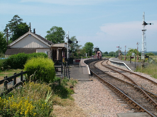
Northiam railway station
Northiam railway station is on the Kent and East Sussex Railway. It is located to the west of the level crossing on the A28 road linking the Kentish village...

Northiam SSSI
Northiam SSSI is a 0.3-hectare (0.74-acre) geological Site of Special Scientific Interest in Northiam in East Sussex. It is a Geological Conservation Review...

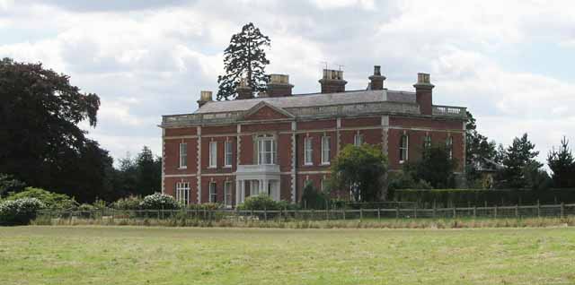
Brickwall House
Brickwall House (formerly known as Down House School and Brickwall House School) is a country house in Northiam, East Sussex, England, now run as a dyslexia...

Northiam
Northiam is a village and civil parish in the Rother district, in East Sussex, England, 13 miles (21 km) north of Hastings in the valley of the River Rother...

Lossenham Friary
Lossenham Friary was a Carmelite friary in Newenden in the Weald of Kent, England. == History == Sir Thomas Alcher or Aucher founded the third Carmelite...
Nearby Amenities
Located within 500m of 50.992866,0.65165171Have you been to Dean Wood?
Leave your review of Dean Wood below (or comments, questions and feedback).