Folly Grove
Wood, Forest in Suffolk West Suffolk
England
Folly Grove
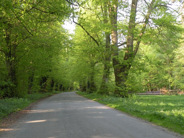
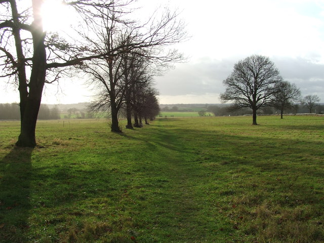
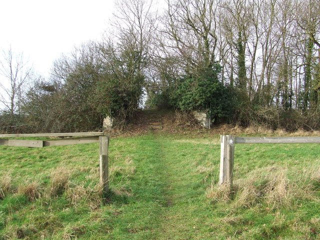
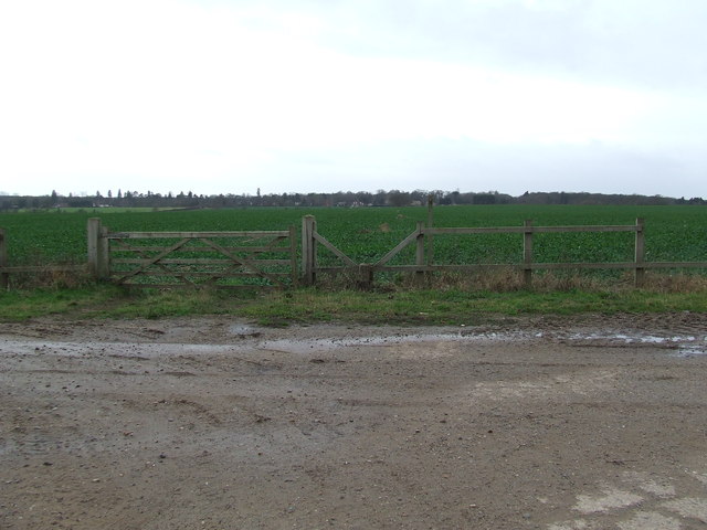
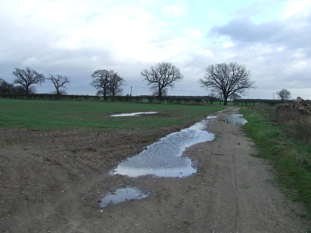
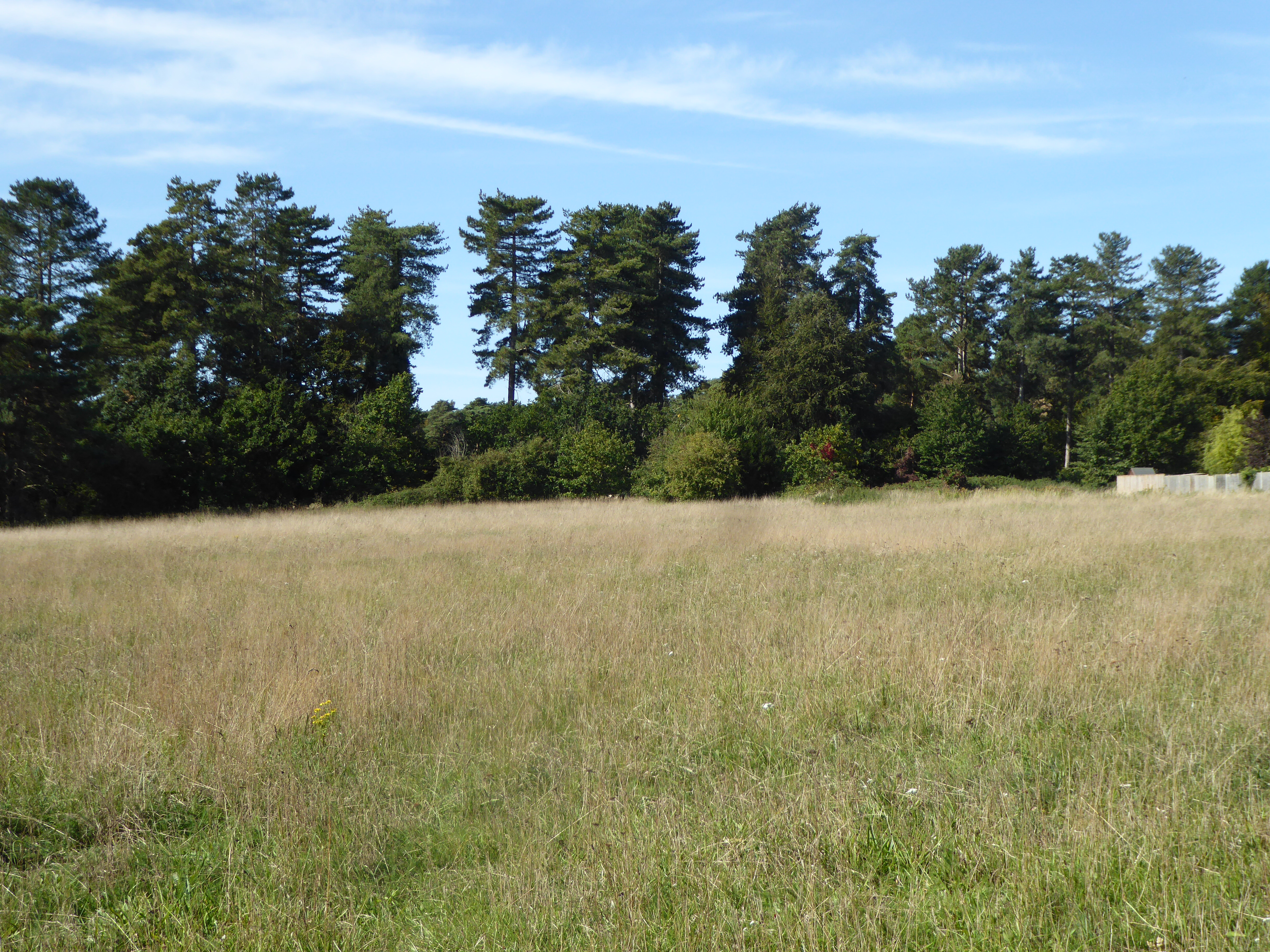
Folly Grove is a picturesque wood located in the county of Suffolk, England. Nestled within the heart of the countryside, this enchanting forest offers a serene and tranquil escape from the bustling city life. Spread over a vast area of approximately 50 acres, Folly Grove is a haven for nature lovers and outdoor enthusiasts alike.
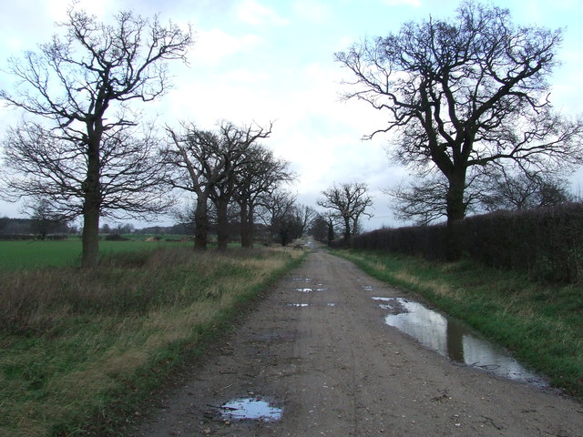
The dense woodland is predominantly composed of native species such as oak, beech, and birch trees, which create a captivating and diverse landscape. The forest floor is adorned with a rich carpet of wildflowers, including bluebells and primroses, which paint the forest in vibrant hues during the spring season.
Walking through Folly Grove, visitors will discover numerous well-maintained trails and pathways that wind their way around the woodland. These paths cater to various levels of difficulty, making it accessible for individuals of all ages and fitness levels. Explorers can spot a variety of wildlife, from agile squirrels bounding through the treetops to elusive deer grazing in the distance.
The forest also features a charming picnic area, complete with benches and tables, providing the perfect spot to relax and enjoy a packed lunch amidst nature's embrace. Folly Grove is a popular destination for families, hikers, and photographers, who are all drawn to its natural beauty and peaceful ambiance.
Managed by the local Suffolk County Council, Folly Grove is well-preserved and boasts excellent facilities, including ample parking and well-maintained amenities. Whether one seeks solace in nature, wishes to embark on an adventure, or simply desires to reconnect with the great outdoors, Folly Grove in Suffolk offers an idyllic setting to fulfill those desires.
If you have any feedback on the listing, please let us know in the comments section below.
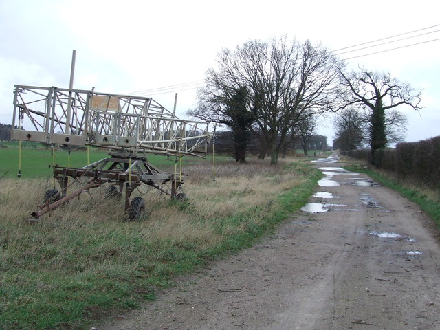
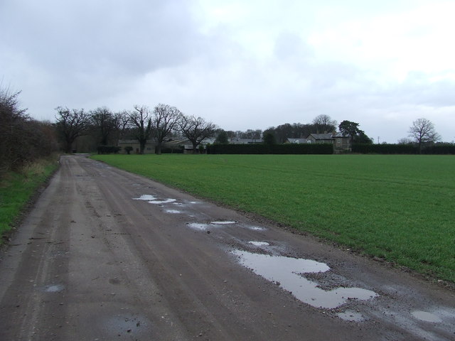
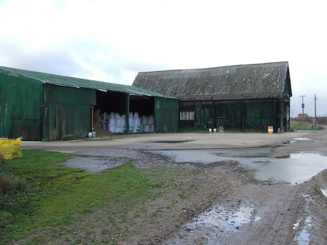
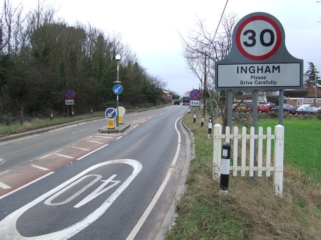
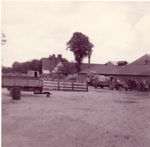
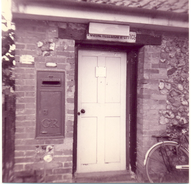
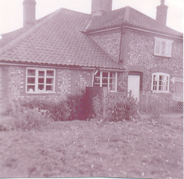
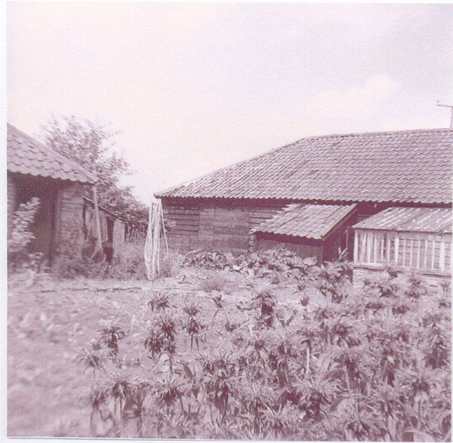
Folly Grove Images
Images are sourced within 2km of 52.314473/0.73003524 or Grid Reference TL8671. Thanks to Geograph Open Source API. All images are credited.


Folly Grove is located at Grid Ref: TL8671 (Lat: 52.314473, Lng: 0.73003524)
Administrative County: Suffolk
District: West Suffolk
Police Authority: Suffolk
What 3 Words
///inclines.videos.flashing. Near Great Barton, Suffolk
Nearby Locations
Related Wikis
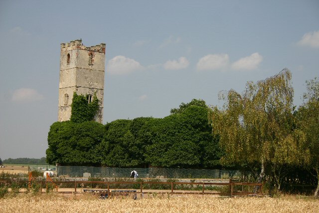
Little Livermere
Little Livermere is a village and civil parish in England situated about 5 miles (8 km) north of Bury St Edmunds, in an area of Suffolk known as the Breckland...

Ampton
Ampton is a village and civil parish in the West Suffolk District of Suffolk, England, about five miles north of Bury St Edmunds. According to Eilert Ekwall...
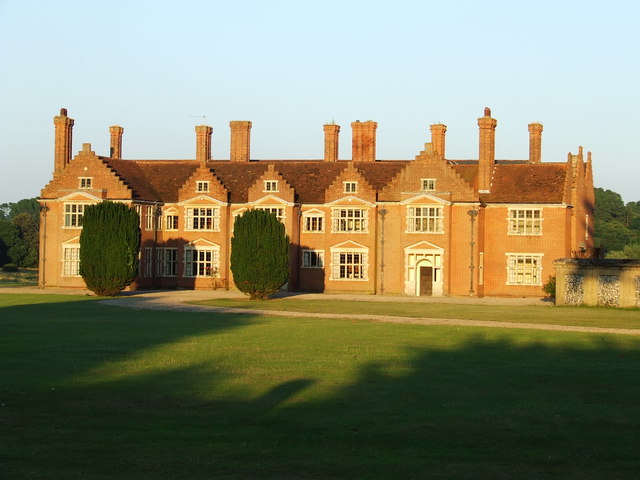
Ampton Hall
Ampton Hall is a Grade II-listed Jacobean style manor house in Ampton, Suffolk, England. Ampton Hall was the birthplace in 1805 of Robert FitzRoy, who...

Ingham railway station
Ingham railway station was a railway station in Ingham, Suffolk which was located was on the route between Thetford and Bury St Edmunds. == History... ==
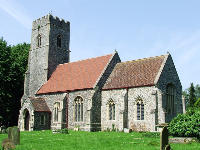
Ingham, Suffolk
Ingham is a village and civil parish in the West Suffolk district of Suffolk in eastern England, located about six miles north of Bury St Edmunds on the...
Seven Hills Halt railway station
Seven Hills Halt railway station was a railway station in Suffolk, England on the branch line between Thetford and Bury St Edmunds. It was closed in 1953...
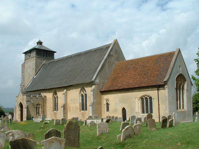
Great Livermere
Great Livermere is a village and civil parish in the West Suffolk district of Suffolk in eastern England. It is located around four miles north-east of...
Elm Road Field, Thetford
Elm Road Field, Thetford is a 5-hectare (12-acre) biological Site of Special Scientific Interest on the southern outskirts of Thetford in Norfolk.This...
Nearby Amenities
Located within 500m of 52.314473,0.73003524Have you been to Folly Grove?
Leave your review of Folly Grove below (or comments, questions and feedback).