Barber's Wood
Wood, Forest in Sussex Rother
England
Barber's Wood
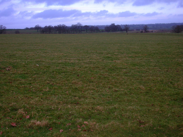
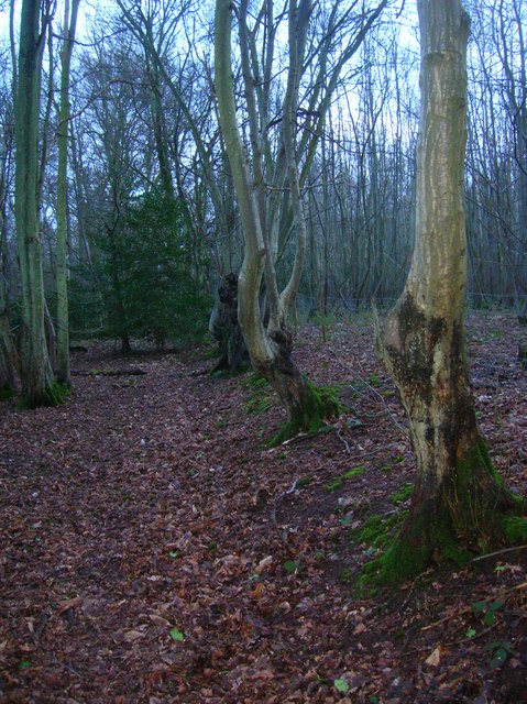
Barber's Wood, located in Sussex, England, is a picturesque woodland that stretches across a vast area of approximately 200 hectares. This woodland is known for its diverse range of tree species, creating a rich and vibrant ecosystem that supports a variety of wildlife.
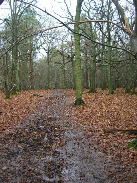
The wood is predominantly composed of broadleaf trees, including oak, beech, and birch, which create a dense canopy overhead, providing shade and shelter for the numerous species that call this forest home. These trees also offer a stunning display of colors during the autumn months, attracting visitors from all around.
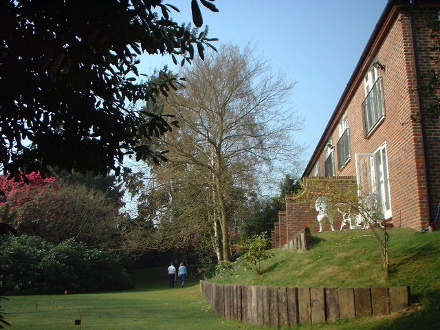
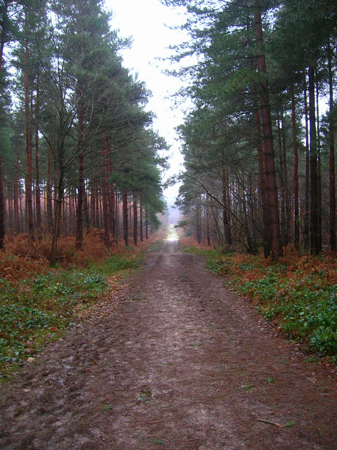
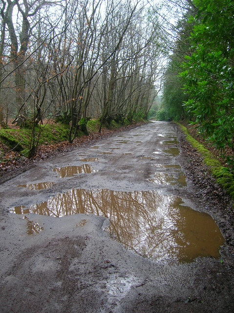
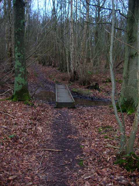
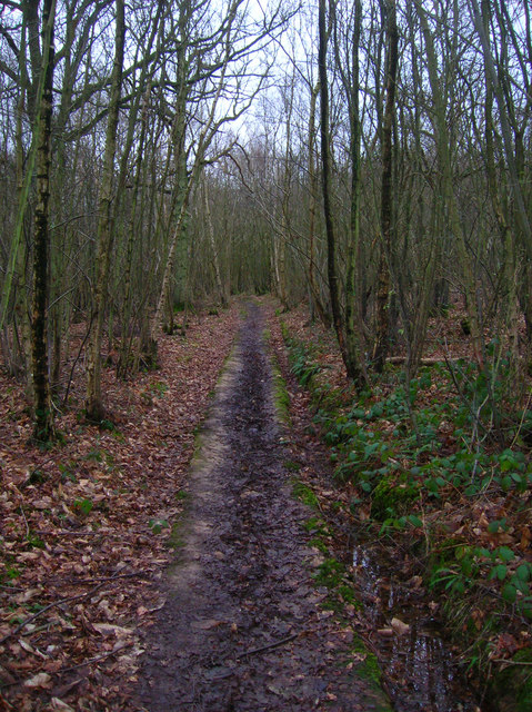
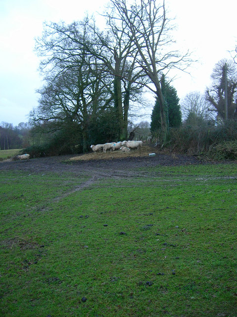
Barber's Wood is crisscrossed by a network of well-maintained footpaths, allowing nature enthusiasts and hikers to explore its beauty. Along these paths, visitors can find an abundance of flora and fauna, such as bluebells, foxgloves, and various species of butterflies and birds. The wood is particularly known for its population of roe deer, which can often be spotted grazing or darting through the trees.
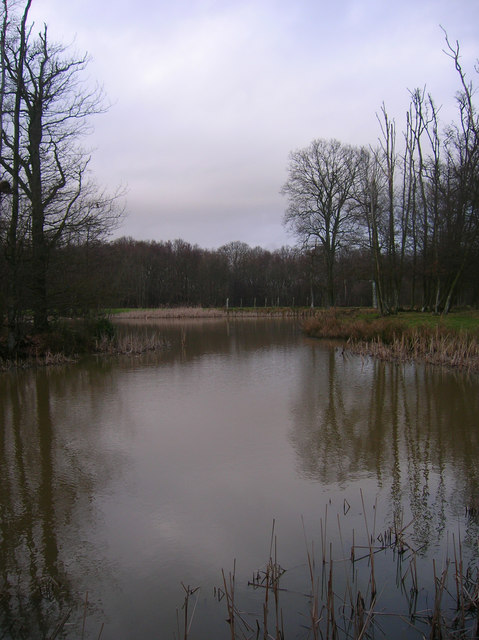
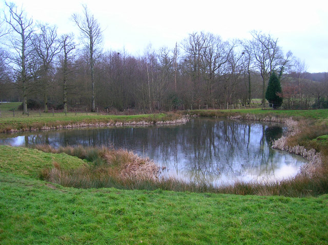
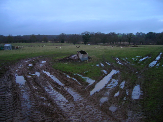
In addition to its natural beauty, Barber's Wood offers a range of recreational activities for visitors to enjoy. These include picnic spots, designated camping areas, and even a small lake where fishing is permitted. The wood also hosts educational programs and guided tours, providing an opportunity for visitors to learn about the local wildlife and conservation efforts.
Overall, Barber's Wood, with its stunning scenery, diverse wildlife, and recreational offerings, is a popular destination for nature lovers and those seeking a peaceful escape in the heart of Sussex.
If you have any feedback on the listing, please let us know in the comments section below.
Barber's Wood Images
Images are sourced within 2km of 50.990781/0.65951342 or Grid Reference TQ8624. Thanks to Geograph Open Source API. All images are credited.


Barber's Wood is located at Grid Ref: TQ8624 (Lat: 50.990781, Lng: 0.65951342)
Administrative County: East Sussex
District: Rother
Police Authority: Sussex
What 3 Words
///liner.dustbin.paints. Near Northiam, East Sussex
Nearby Locations
Related Wikis

Flatropers Wood
Flatropers Wood is a 38-hectare (94-acre) nature reserve in Rye in East Sussex. It is managed by the Sussex Wildlife Trust.The wood is mainly oak and...

Beckley, East Sussex
Beckley is a village and civil parish in the Rother district of East Sussex, England. It is located on the B2088 minor road above the Rother Levels five...
Peasmarsh
Peasmarsh is a village and civil parish in the Rother district, in the county of East Sussex in England. It is located on the A268 road between Rye and...
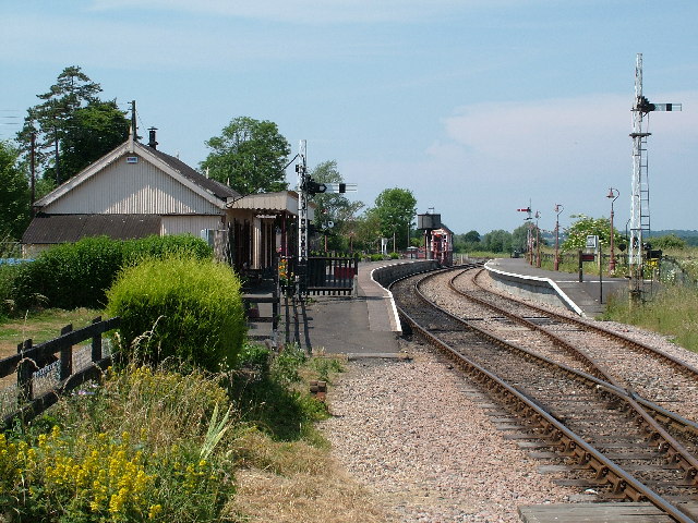
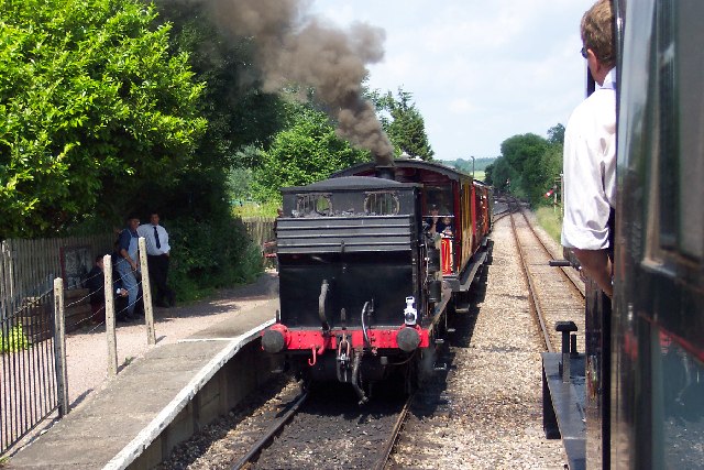
Northiam railway station
Northiam railway station is on the Kent and East Sussex Railway. It is located to the west of the level crossing on the A28 road linking the Kentish village...

Northiam SSSI
Northiam SSSI is a 0.3-hectare (0.74-acre) geological Site of Special Scientific Interest in Northiam in East Sussex. It is a Geological Conservation Review...
Wittersham Road railway station
Wittersham Road is a railway station on the Kent and East Sussex Railway. It is located to the north-east of the level crossing on Maytham Road which links...

Lossenham Friary
Lossenham Friary was a Carmelite friary in Newenden in the Weald of Kent, England. == History == Sir Thomas Alcher or Aucher founded the third Carmelite...

Northiam
Northiam is a village and civil parish in the Rother district, in East Sussex, England, 13 miles (21 km) north of Hastings in the valley of the River Rother...
Nearby Amenities
Located within 500m of 50.990781,0.65951342Have you been to Barber's Wood?
Leave your review of Barber's Wood below (or comments, questions and feedback).