Combe Shaw
Wood, Forest in Sussex Rother
England
Combe Shaw
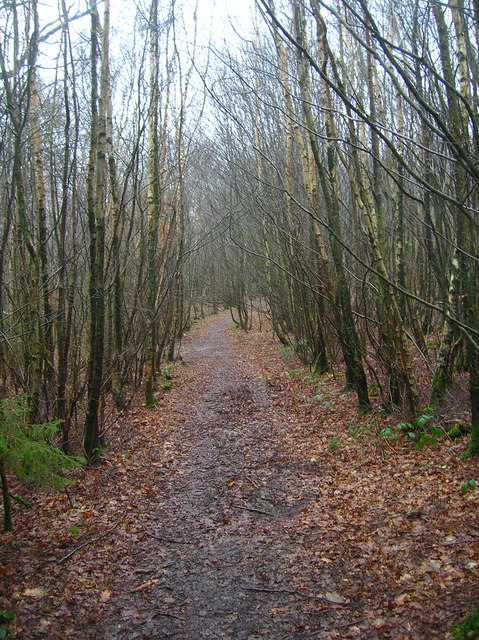
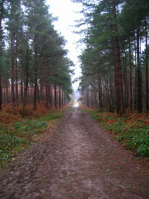
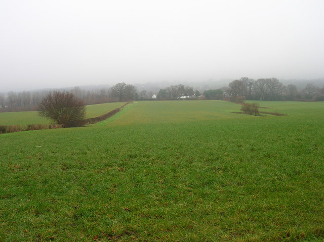
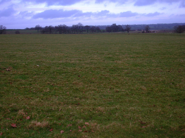
Combe Shaw is a picturesque woodland located in Sussex, England. Nestled within the South Downs National Park, this enchanting forest spans an area of approximately 300 acres. Combe Shaw is renowned for its natural beauty, offering visitors a serene and tranquil escape from the hustle and bustle of everyday life.
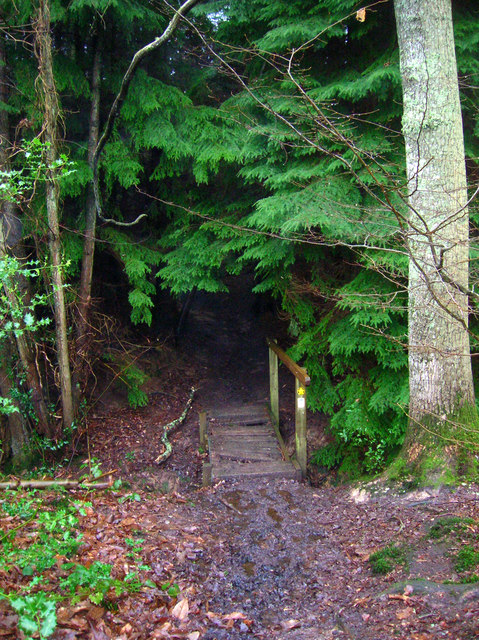
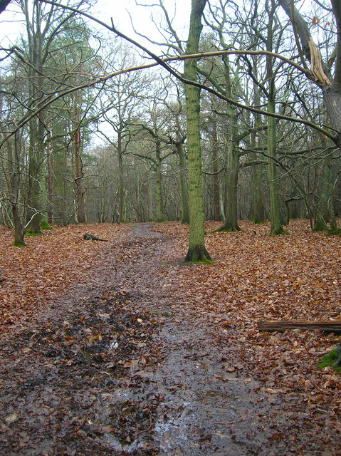
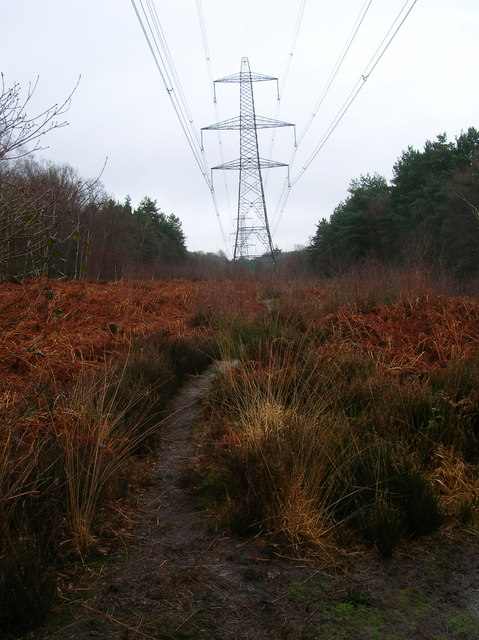
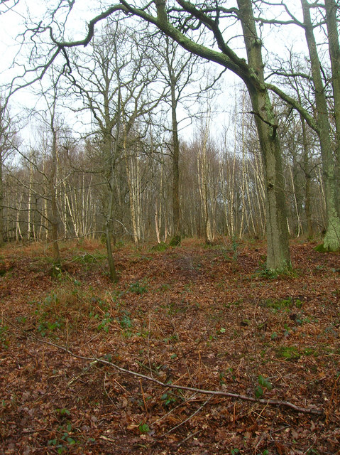
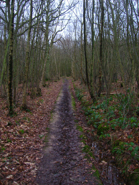
The woodland is characterized by its dense canopy of trees, which predominantly consists of beech and oak. These ancient trees provide a habitat for a diverse range of wildlife, including deer, foxes, and a variety of bird species. The forest floor is adorned with a carpet of wildflowers during the spring and summer months, creating a vibrant and colorful landscape.
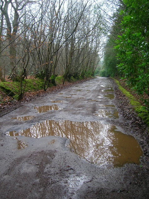
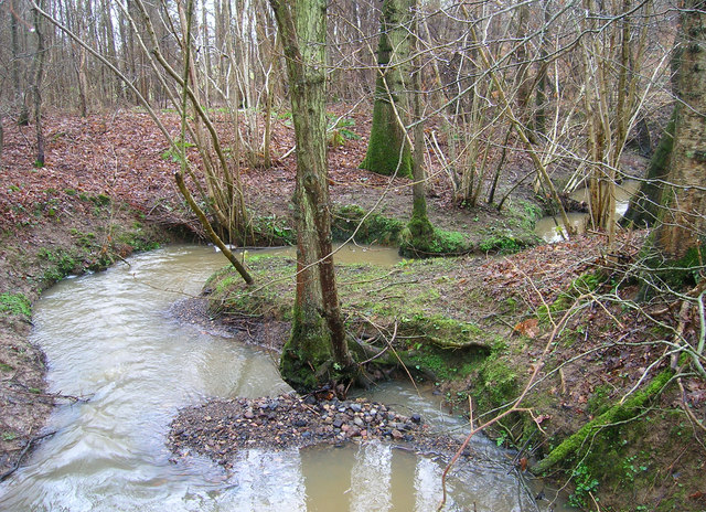
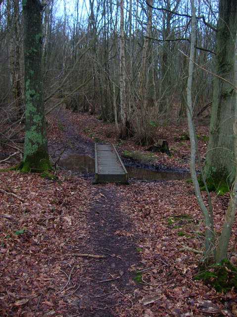
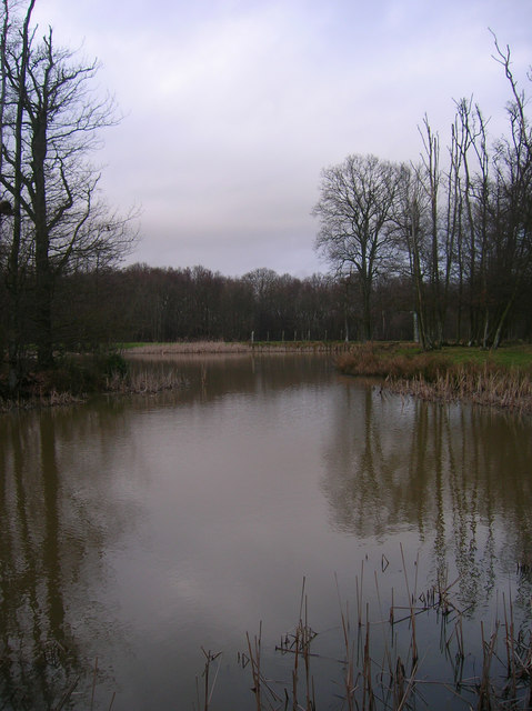
Combe Shaw is intersected by a meandering stream, which adds to its charm and allure. The stream provides a source of water for the flora and fauna that call this woodland their home. Visitors can enjoy the soothing sound of running water as they explore the forest, following the numerous walking trails that crisscross through the trees.
For nature enthusiasts and outdoor lovers, Combe Shaw offers a wealth of recreational opportunities. The forest is a popular destination for hiking, walking, and birdwatching. There are also designated picnic areas where visitors can relax and soak in the peaceful surroundings.
Combe Shaw is a true gem in Sussex, attracting both locals and tourists alike with its natural beauty and tranquility. It is a place where one can reconnect with nature and experience the wonders of the woodland environment.
If you have any feedback on the listing, please let us know in the comments section below.
Combe Shaw Images
Images are sourced within 2km of 50.987998/0.65533571 or Grid Reference TQ8624. Thanks to Geograph Open Source API. All images are credited.


Combe Shaw is located at Grid Ref: TQ8624 (Lat: 50.987998, Lng: 0.65533571)
Administrative County: East Sussex
District: Rother
Police Authority: Sussex
What 3 Words
///eggplants.coverings.objecting. Near Northiam, East Sussex
Nearby Locations
Related Wikis

Flatropers Wood
Flatropers Wood is a 38-hectare (94-acre) nature reserve in Rye in East Sussex. It is managed by the Sussex Wildlife Trust.The wood is mainly oak and...

Beckley, East Sussex
Beckley is a village and civil parish in the Rother district of East Sussex, England. It is located on the B2088 minor road above the Rother Levels five...
Peasmarsh
Peasmarsh is a village and civil parish in the Rother district, in the county of East Sussex in England. It is located on the A268 road between Rye and...

Northiam SSSI
Northiam SSSI is a 0.3-hectare (0.74-acre) geological Site of Special Scientific Interest in Northiam in East Sussex. It is a Geological Conservation Review...
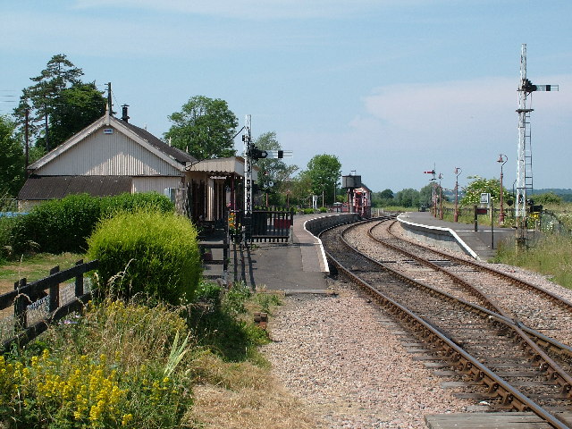
Northiam railway station
Northiam railway station is on the Kent and East Sussex Railway. It is located to the west of the level crossing on the A28 road linking the Kentish village...

Northiam
Northiam is a village and civil parish in the Rother district, in East Sussex, England, 13 miles (21 km) north of Hastings in the valley of the River Rother...

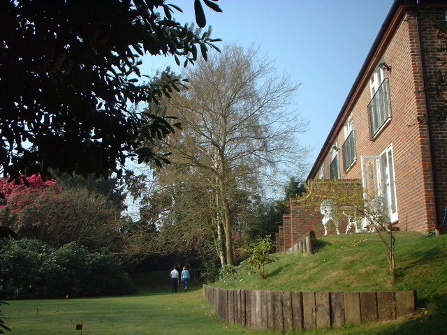
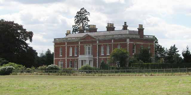
Brickwall House
Brickwall House (formerly known as Down House School and Brickwall House School) is a country house in Northiam, East Sussex, England, now run as a dyslexia...

Northiam Unitarian Chapel
Northiam Unitarian Chapel is a former place of worship for Unitarians in Northiam, a village in the district of Rother in the English county of East Sussex...
Nearby Amenities
Located within 500m of 50.987998,0.65533571Have you been to Combe Shaw?
Leave your review of Combe Shaw below (or comments, questions and feedback).