Four Oaks
Settlement in Warwickshire
England
Four Oaks
Four Oaks is a suburban area located in Warwickshire, England. It is known for its affluent residential housing, tree-lined streets, and proximity to the Sutton Park National Nature Reserve. The area is primarily residential, with a mix of detached and semi-detached homes, as well as some larger estates.
Four Oaks is a popular choice for families and professionals looking for a peaceful and green environment to live in. The area is well-connected to nearby towns and cities, with good transport links including a train station providing easy access to Birmingham and other major cities in the West Midlands.
In terms of amenities, Four Oaks has a range of shops, restaurants, and cafes, as well as schools and recreational facilities. The Sutton Coldfield Golf Club is also located nearby, offering a picturesque setting for golf enthusiasts.
Overall, Four Oaks offers a high quality of life with its attractive surroundings, good transport links, and range of amenities, making it a desirable place to live in Warwickshire.
If you have any feedback on the listing, please let us know in the comments section below.
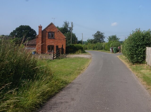
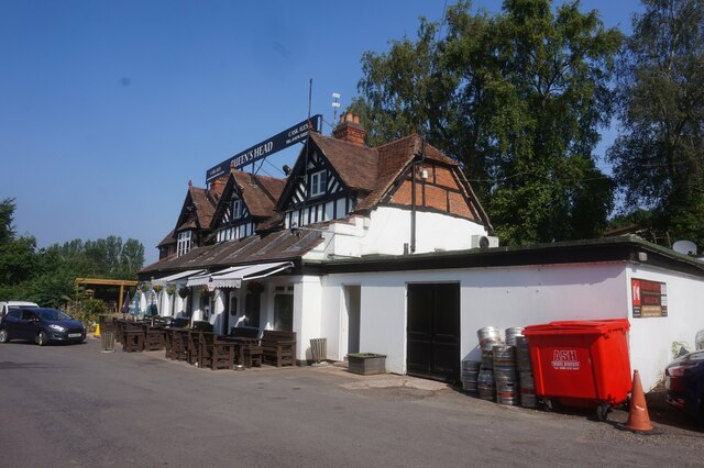
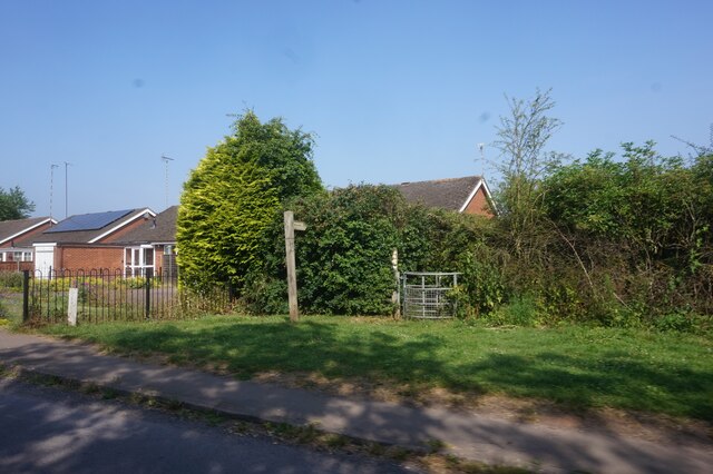
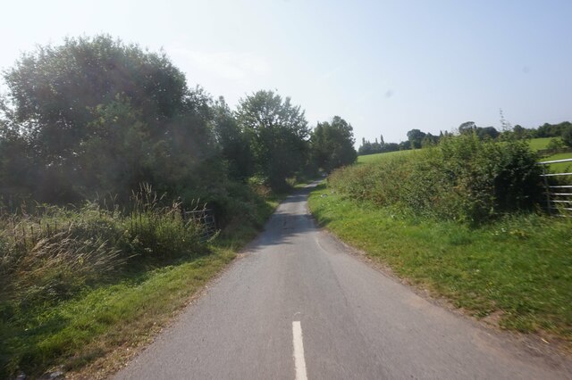
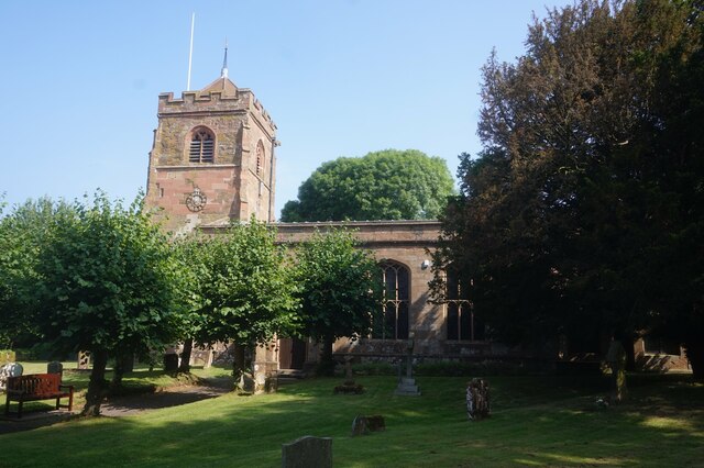
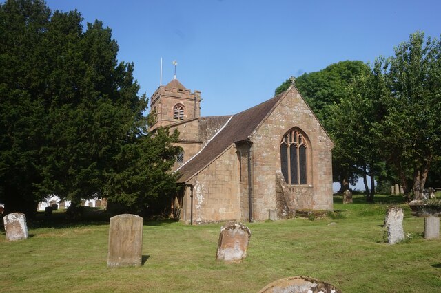
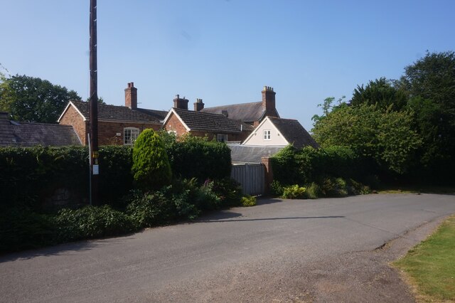
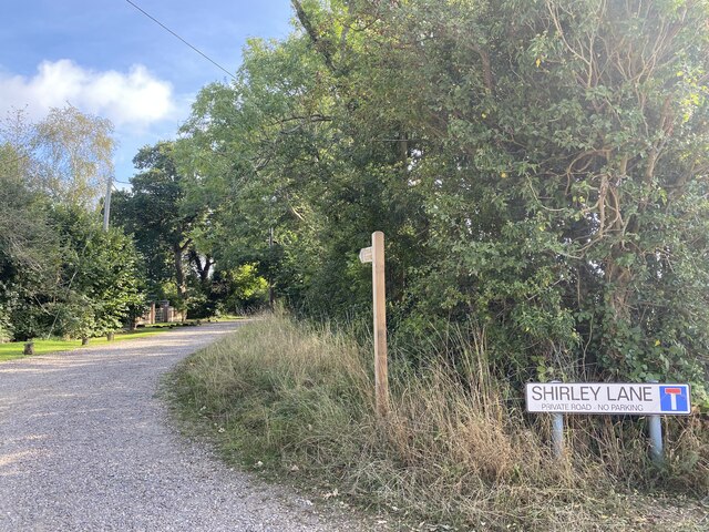
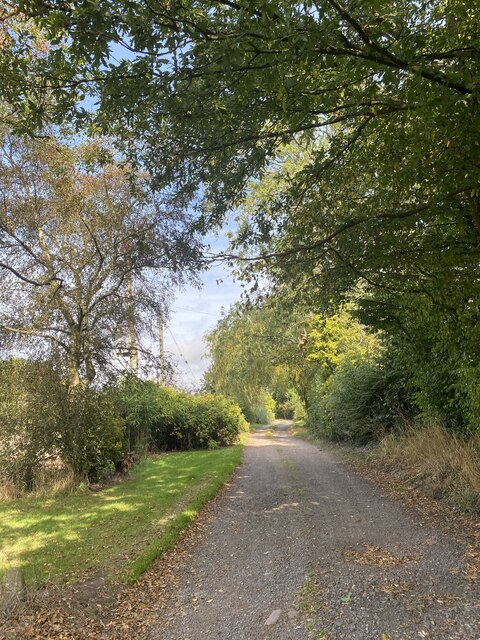
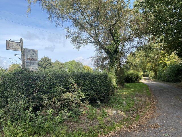
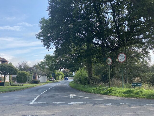
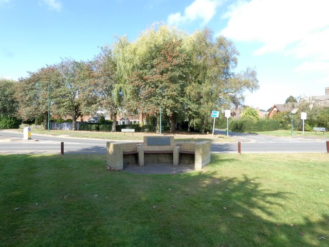
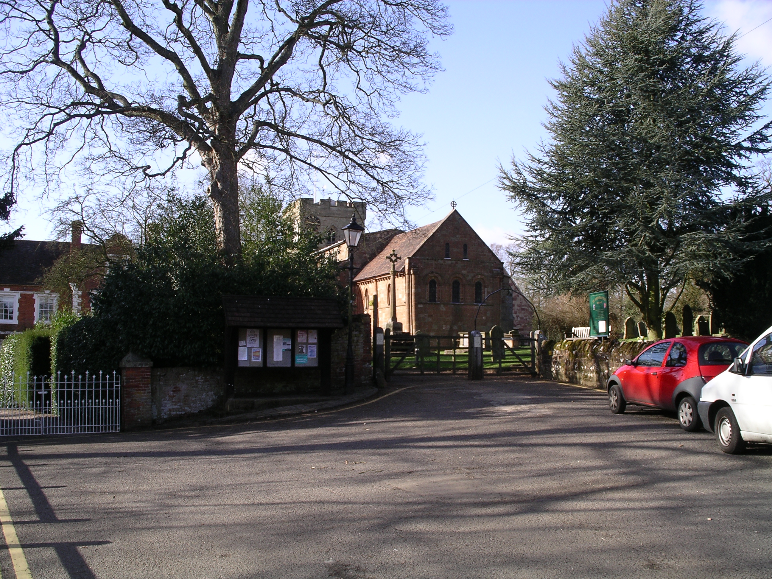
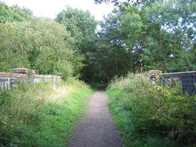
Four Oaks Images
Images are sourced within 2km of 52.422362/-1.640425 or Grid Reference SP2480. Thanks to Geograph Open Source API. All images are credited.

Four Oaks is located at Grid Ref: SP2480 (Lat: 52.422362, Lng: -1.640425)
Unitary Authority: Solihull
Police Authority: West Midlands
What 3 Words
///enter.cubs.baked. Near Berkswell, West Midlands
Nearby Locations
Related Wikis

Berkswell Hall
Berkswell Hall is a 19th-century country house at Berkswell, formerly Warwickshire now West Midlands, now converted into residential apartments. It is...
Berkswell
Berkswell ( BURK-swəl) is a village and civil parish in the Metropolitan Borough of Solihull, county of West Midlands, England. Historically in Warwickshire...
Coventry Way
The Coventry Way is a 40-mile (64 km) long-distance footpath in central England that starts and finishes in Meriden. It forms a circular route around the...
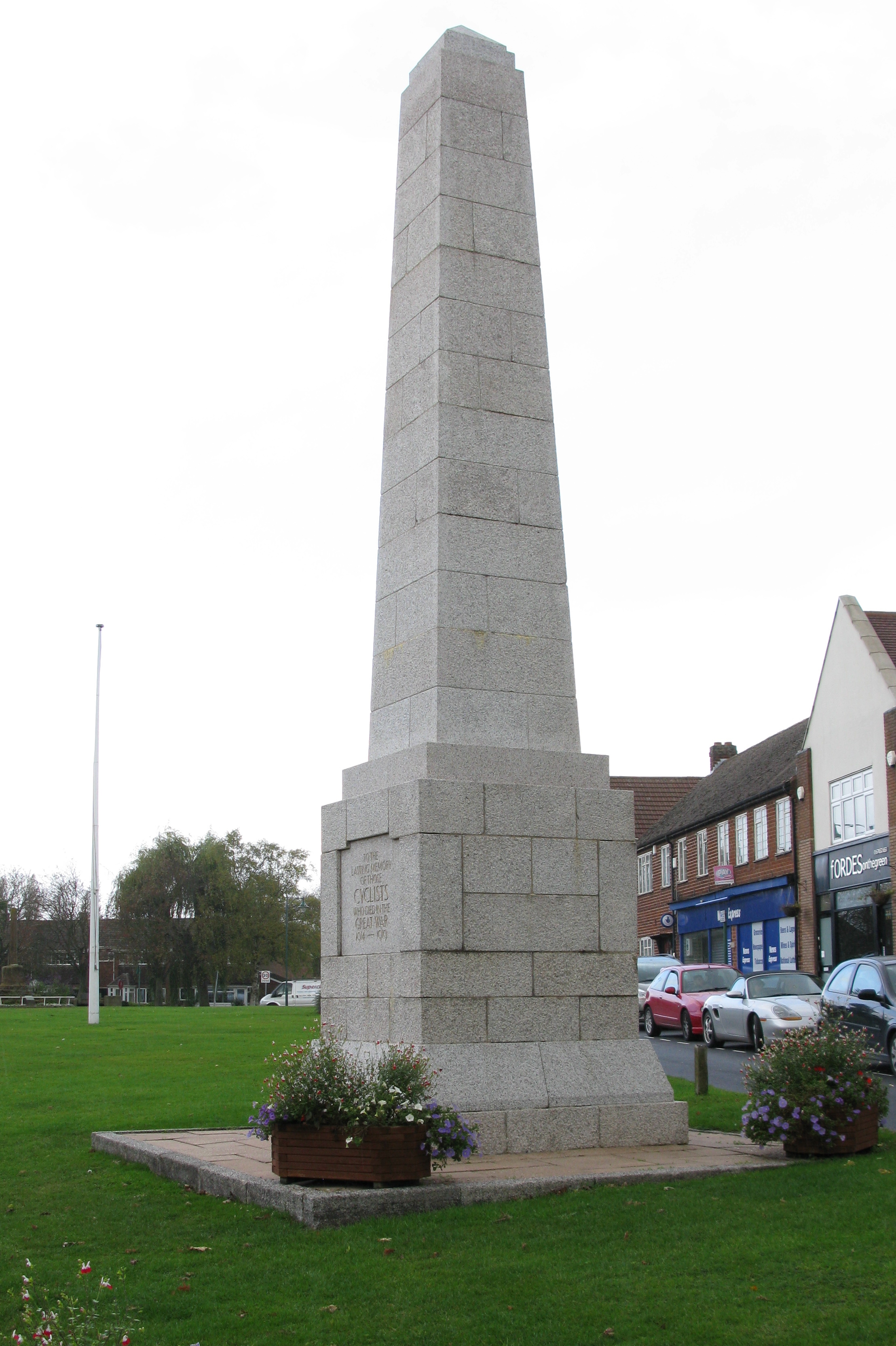
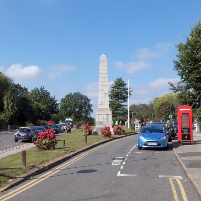
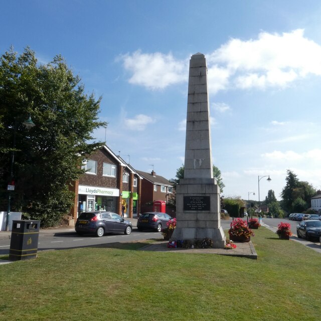
Cyclists War Memorial
The Cyclists War Memorial is a war memorial on the village green in Meriden, West Midlands. The village between Coventry and Birmingham was long reputed...
Nearby Amenities
Located within 500m of 52.422362,-1.640425Have you been to Four Oaks?
Leave your review of Four Oaks below (or comments, questions and feedback).