Low Carr
Wood, Forest in Norfolk North Norfolk
England
Low Carr
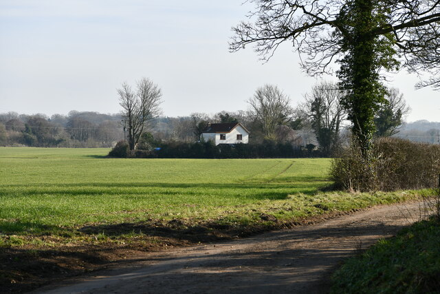
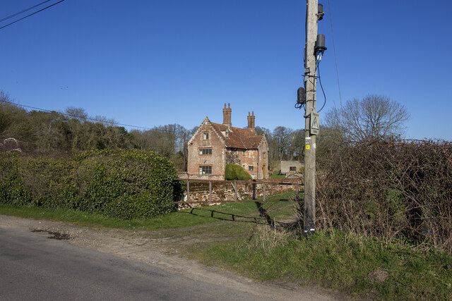
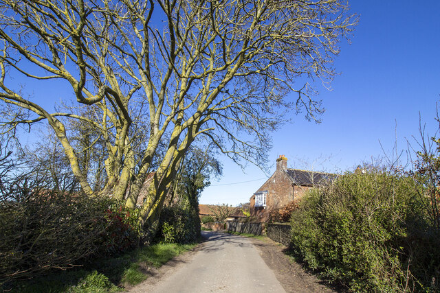
Low Carr is a small village located in the county of Norfolk, England. Situated within a picturesque and serene woodland area, it is known for its beautiful surrounding forests and woodlands. The village is located near the larger town of Holt, which is approximately 5 miles away.
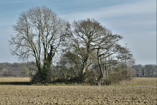
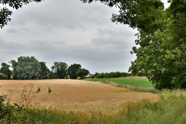
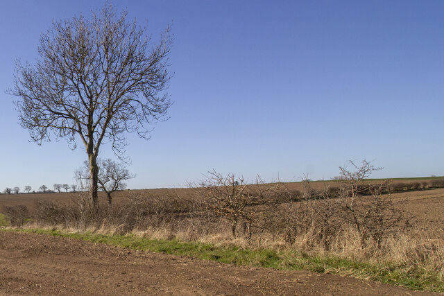
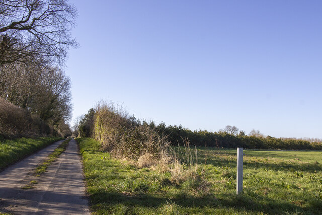
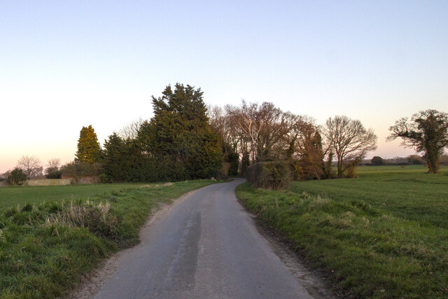
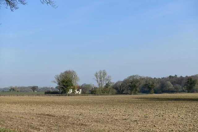
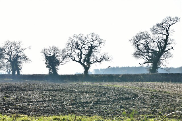
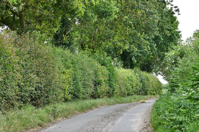
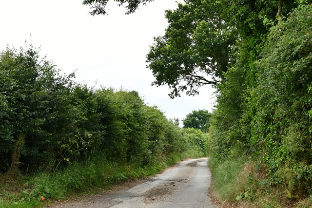
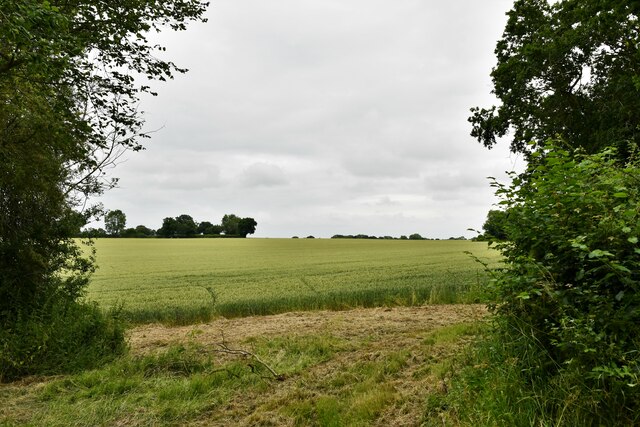
Low Carr is characterized by its dense and lush vegetation, comprising a variety of tree species such as oak, birch, and beech, among others. The woodlands provide a tranquil and peaceful environment, attracting nature enthusiasts, hikers, and bird watchers alike. The area is also home to an array of wildlife, including deer, foxes, and various bird species.
The village itself is small and tightly knit, with a population of only a few hundred residents. The local community is known for its friendly and welcoming nature, fostering a sense of belonging and community spirit. There are a few amenities within the village, including a small convenience store and a local pub, which serves as a popular gathering place for both locals and visitors.
Low Carr is an ideal destination for those seeking a rural retreat and a connection with nature. With its breathtaking woodlands, peaceful atmosphere, and warm community, it offers a perfect escape from the hustle and bustle of city life. Whether exploring the forest trails, observing wildlife, or simply enjoying the tranquility, Low Carr provides a truly idyllic setting for nature enthusiasts and those seeking a slower pace of life.
If you have any feedback on the listing, please let us know in the comments section below.
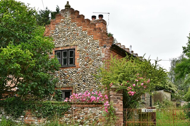
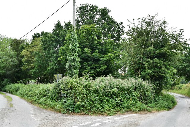
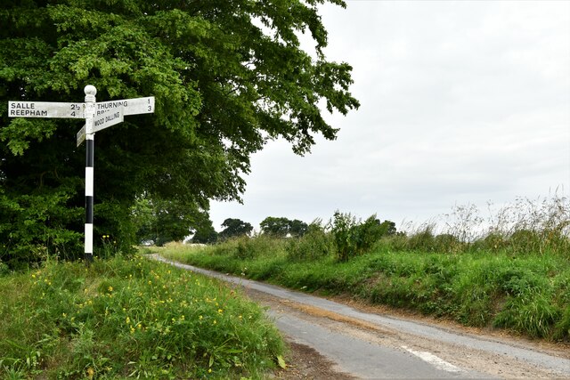
Low Carr Images
Images are sourced within 2km of 52.820765/1.0935635 or Grid Reference TG0829. Thanks to Geograph Open Source API. All images are credited.
Low Carr is located at Grid Ref: TG0829 (Lat: 52.820765, Lng: 1.0935635)
Administrative County: Norfolk
District: North Norfolk
Police Authority: Norfolk
What 3 Words
///digestion.sailing.only. Near Briston, Norfolk
Nearby Locations
Related Wikis

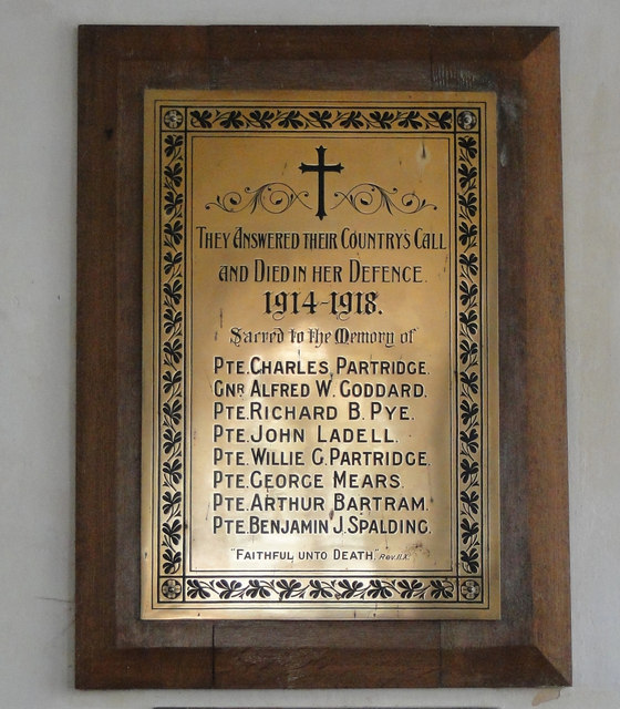
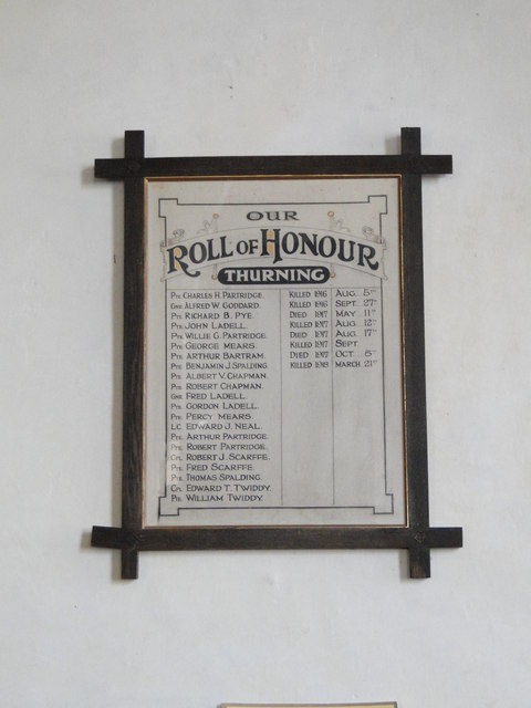
Thurning, Norfolk
Thurning is a small dispersed village and civil parish in the English county of Norfolk and district of North Norfolk, near the border with Broadland....

Wood Dalling
Wood Dalling is a village and civil parish in Norfolk, England. It is located 8 miles (13 km) south of Holt and 3 miles (4.8 km) north of Reepham, the...

Corpusty and Saxthorpe railway station
Corpusty and Saxthorpe railway station was a railway station in the North Norfolk village of Corpusty. It was opened by the Eastern & Midlands Railway...

Nethergate, Norfolk
Nethergate is a hamlet within the civil parish of Hindolveston in the English county of Norfolk. The hamlet is 15.9 miles (25.6 km) west-south-west of...

Saxthorpe
Saxthorpe is a village in Norfolk, England. The village is 12 miles (19 km) west south west of Cromer and 16.3 miles (26.2 km) north north west of Norwich...

Guestwick
Guestwick is a village and a civil parish in the English county of Norfolk. The village is 19.6 miles (31.5 km) south-west of Cromer, 18.7 miles (30.1...

Heydon, Norfolk
Heydon is a village and civil parish in Norfolk, England. It is located 3 miles (4.8 km) north of the market town of Reepham. The village can be accessed...
Hindolvestone railway station
Hindolvestone railway station was in North Norfolk, England. It was part of the Midland and Great Northern Joint Railway branch from Melton Constable to...
Nearby Amenities
Located within 500m of 52.820765,1.0935635Have you been to Low Carr?
Leave your review of Low Carr below (or comments, questions and feedback).