Ash Carr
Wood, Forest in Norfolk North Norfolk
England
Ash Carr
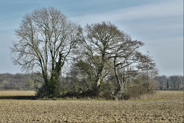
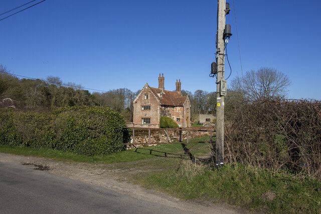
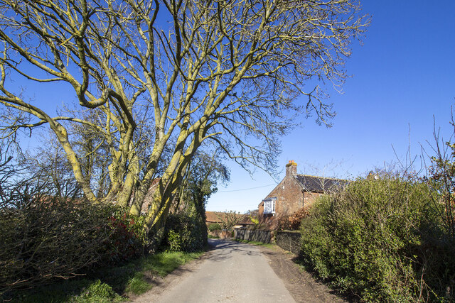
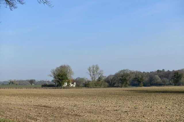
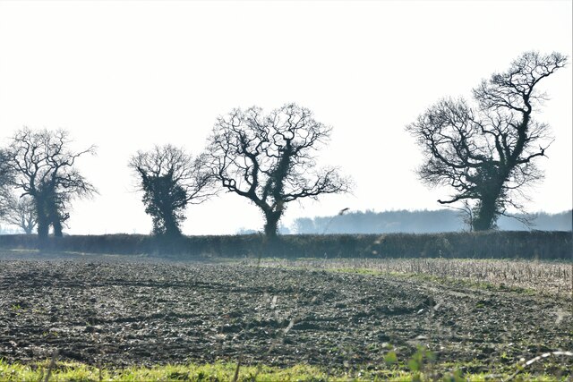
Ash Carr is a picturesque woodland located in Norfolk, England. Spanning over a vast area, it is a haven for nature enthusiasts and those seeking tranquility amidst nature's beauty. The woodland is characterized by its dense forest cover, comprising mainly ash trees, from which it derives its name.
Situated in the heart of Norfolk, Ash Carr offers visitors a unique opportunity to immerse themselves in the wonders of the natural world. The trees within the woodland stand tall, forming a canopy that filters sunlight, creating a dappled effect on the forest floor. The rich biodiversity of the area is immediately apparent, with a myriad of plant species, including bluebells, wild garlic, and ferns, adorning the forest landscape.
The woodland is not only a haven for flora but also for a diverse range of wildlife. Visitors may be lucky enough to spot various bird species, such as woodpeckers and owls, soaring through the trees. Small mammals, including squirrels and rabbits, can also be seen scurrying about their daily activities. Additionally, the woodland provides a habitat for elusive creatures like deer and foxes.
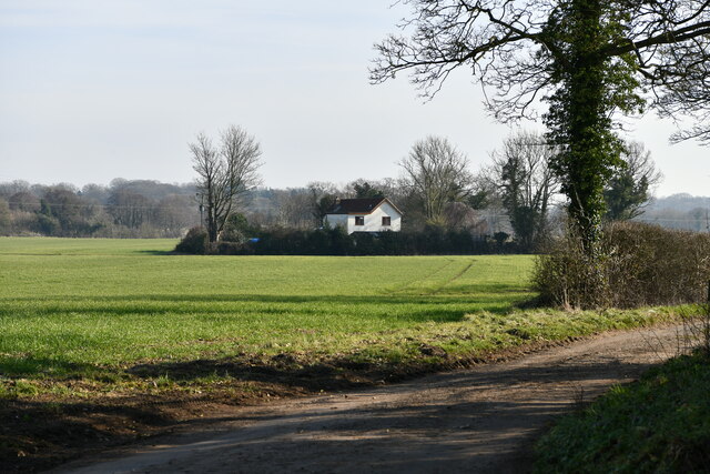
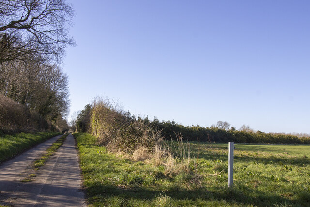
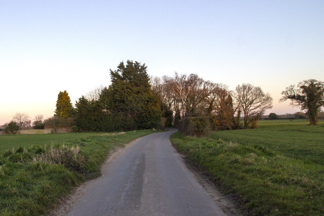
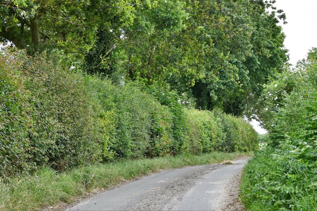
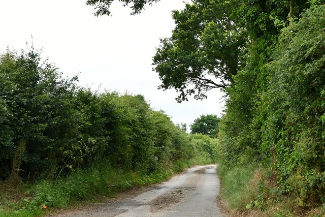
Ash Carr is a popular destination for outdoor activities such as walking, hiking, and bird-watching. Numerous trails crisscross the woodland, allowing visitors to explore its diverse terrain at their own pace. The calm and serenity of Ash Carr make it an ideal retreat for individuals and families alike, providing an escape from the hustle and bustle of modern life.
Overall, Ash Carr is a captivating woodland in Norfolk, offering visitors a chance to connect with nature and revel in its beauty.
If you have any feedback on the listing, please let us know in the comments section below.
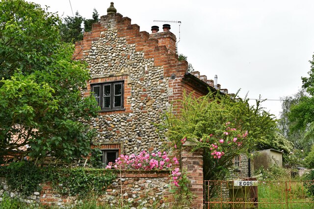
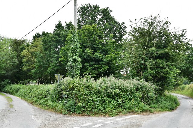
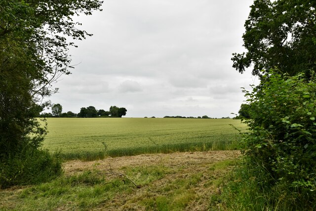
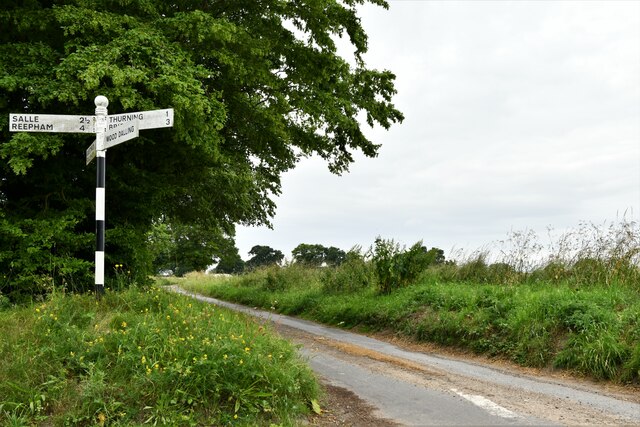
Ash Carr Images
Images are sourced within 2km of 52.818483/1.0920654 or Grid Reference TG0829. Thanks to Geograph Open Source API. All images are credited.
Ash Carr is located at Grid Ref: TG0829 (Lat: 52.818483, Lng: 1.0920654)
Administrative County: Norfolk
District: North Norfolk
Police Authority: Norfolk
What 3 Words
///aviators.crowds.test. Near Briston, Norfolk
Nearby Locations
Related Wikis

Thurning, Norfolk
Thurning is a small dispersed village and civil parish in the English county of Norfolk and district of North Norfolk, near the border with Broadland....

Wood Dalling
Wood Dalling is a village and civil parish in Norfolk, England. It is located 8 miles (13 km) south of Holt and 3 miles (4.8 km) north of Reepham, the...

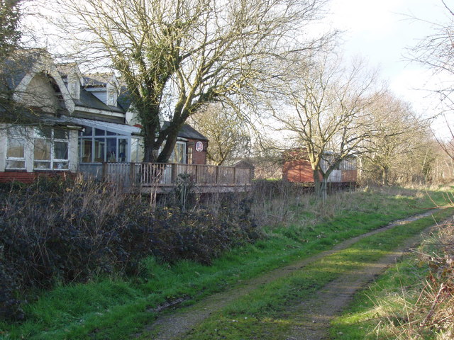
Corpusty and Saxthorpe railway station
Corpusty and Saxthorpe railway station was a railway station in the North Norfolk village of Corpusty. It was opened by the Eastern & Midlands Railway...

Nethergate, Norfolk
Nethergate is a hamlet within the civil parish of Hindolveston in the English county of Norfolk. The hamlet is 15.9 miles (25.6 km) west-south-west of...

Guestwick
Guestwick is a village and a civil parish in the English county of Norfolk. The village is 19.6 miles (31.5 km) south-west of Cromer, 18.7 miles (30.1...

Heydon, Norfolk
Heydon is a village and civil parish in Norfolk, England. It is located 3 miles (4.8 km) north of the market town of Reepham. The village can be accessed...

Saxthorpe
Saxthorpe is a village in Norfolk, England. The village is 12 miles (19 km) west south west of Cromer and 16.3 miles (26.2 km) north north west of Norwich...
Hindolvestone railway station
Hindolvestone railway station was in North Norfolk, England. It was part of the Midland and Great Northern Joint Railway branch from Melton Constable to...
Related Videos

Autumn at Salle
St Peter & St Paul Church.

ENGLISH VILLAGE TOUR | Christmas at Heydon Norfolk
English Village Tour Christmas at Heydon, Norfolk Enjoy a tour of the historic English Village of Heydon in deepest rural Norfolk.
Nearby Amenities
Located within 500m of 52.818483,1.0920654Have you been to Ash Carr?
Leave your review of Ash Carr below (or comments, questions and feedback).