Farthingale Wood
Wood, Forest in Norfolk South Norfolk
England
Farthingale Wood

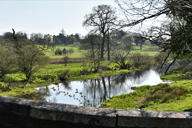
Farthingale Wood is a picturesque forest located in the county of Norfolk, England. Covering an area of approximately 300 acres, it is a haven for nature enthusiasts and outdoor adventurers alike. The wood is situated near the village of Farthingale, which is known for its charming rural setting and historic significance.
Farthingale Wood is characterized by its dense woodland, dominated by a variety of broadleaf trees such as oak, ash, and beech. These towering trees create a canopy that filters the sunlight, casting beautiful dappled patterns on the forest floor. The wood is also adorned with an array of vibrant wildflowers and ferns, adding to its natural beauty.
The forest is crisscrossed with a network of walking trails and footpaths, allowing visitors to explore its enchanting surroundings. These paths wind through ancient woodlands, leading to secluded clearings and babbling brooks. The peacefulness of the wood provides a perfect escape from the hustle and bustle of everyday life, offering a tranquil retreat for those seeking solace in nature.
Wildlife thrives in Farthingale Wood, with a diverse range of species calling it home. Birdwatchers may spot woodpeckers, nuthatches, and tawny owls, while lucky visitors may even catch a glimpse of elusive deer or foxes. The wood also supports a rich variety of insects, including butterflies and dragonflies.
Farthingale Wood is not only a natural treasure but also a site of historical significance. It is believed to have existed for centuries, with remnants of ancient settlements and archaeological finds scattered throughout the area. These historical elements add an extra layer of fascination to the wood, providing a glimpse into the past.
Overall, Farthingale Wood is a captivating destination for nature lovers and history enthusiasts alike. Its lush woodlands, diverse wildlife, and peaceful atmosphere make it a must-visit location in Norfolk, offering a truly immersive experience in the heart of nature.
If you have any feedback on the listing, please let us know in the comments section below.
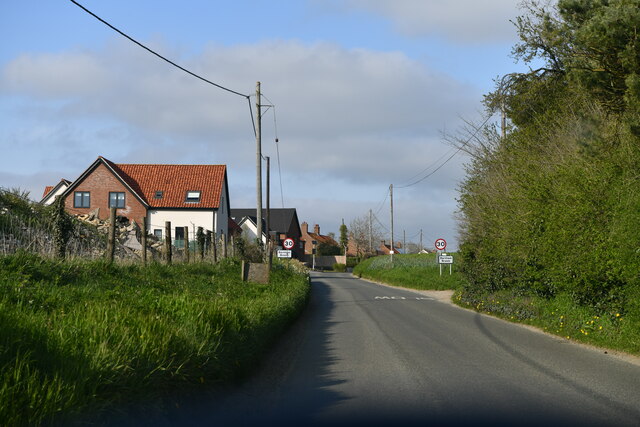
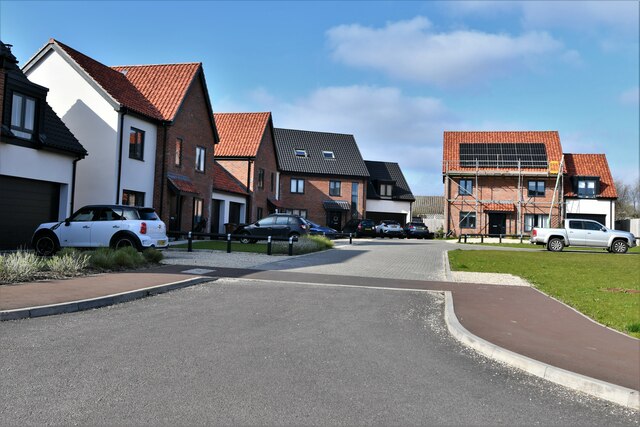
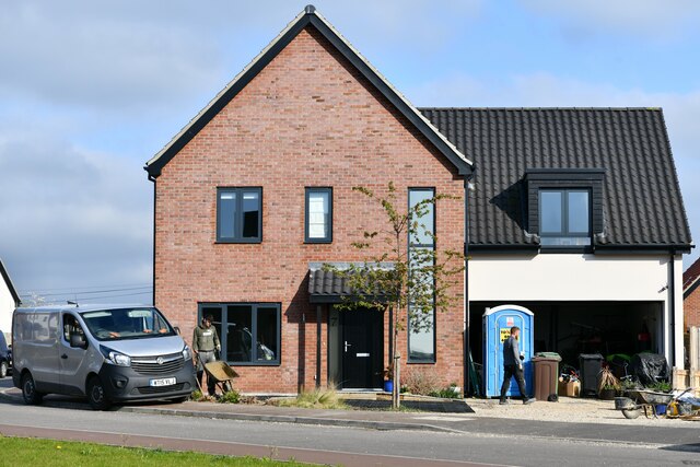
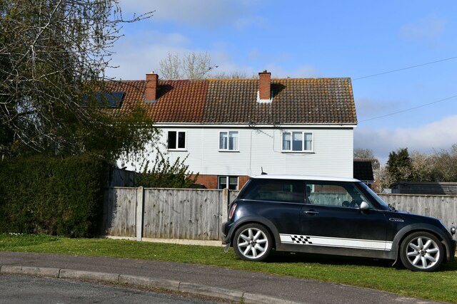
Farthingale Wood Images
Images are sourced within 2km of 52.608139/1.0774381 or Grid Reference TG0805. Thanks to Geograph Open Source API. All images are credited.


Farthingale Wood is located at Grid Ref: TG0805 (Lat: 52.608139, Lng: 1.0774381)
Administrative County: Norfolk
District: South Norfolk
Police Authority: Norfolk
What 3 Words
///fool.moderated.amused. Near Mattishall, Norfolk
Nearby Locations
Related Wikis

Carleton Forehoe
Carleton Forehoe is a village and former civil parish 9 miles (14 km) west of Norwich, now in the parish of Kimberley, in the South Norfolk district, in...

Barnham Broom
Barnham Broom is a village and civil parish in the English county of Norfolk. The village is situated on the River Yare, 9 miles (15 km) West of Norwich...
Kimberley, Norfolk
Kimberley is a village and civil parish in the South Norfolk district, in the county of Norfolk, England, situated about 3 miles (4.8 km) north-west of...
St Michael's Church, Coston
St Michael's Church is a redundant Anglican church in the hamlet of Coston, in the civil parish of Runhall, Norfolk, England. It is recorded in the National...
Brandon Parva
Brandon Parva is a village and former civil parish, now in the parish of Brandon Parva, Coston, Runhall and Welborne, in the South Norfolk district, in...
Kimberley Park railway station
Kimberley Park railway station is a railway station in the village of Kimberley in the English county of Norfolk. == History == The Wymondham-Dereham branch...

Coston Fen, Runhall
Coston Fen, Runhall is a 7.1-hectare (18-acre) biological Site of Special Scientific Interest between Dereham and Wymondham in Norfolk. It is part of the...

Wicklewood Roman Temple
Wicklewood Roman Temple is the site of a Romano-Celtic temple near Wicklewood and about 1.5 miles (2.4 km) north-west of Wymondham, in Norfolk, England...
Nearby Amenities
Located within 500m of 52.608139,1.0774381Have you been to Farthingale Wood?
Leave your review of Farthingale Wood below (or comments, questions and feedback).