Blackwater Plantation
Wood, Forest in Norfolk Broadland
England
Blackwater Plantation
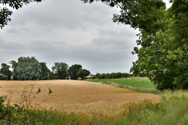
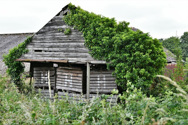
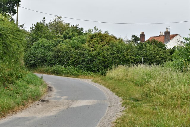
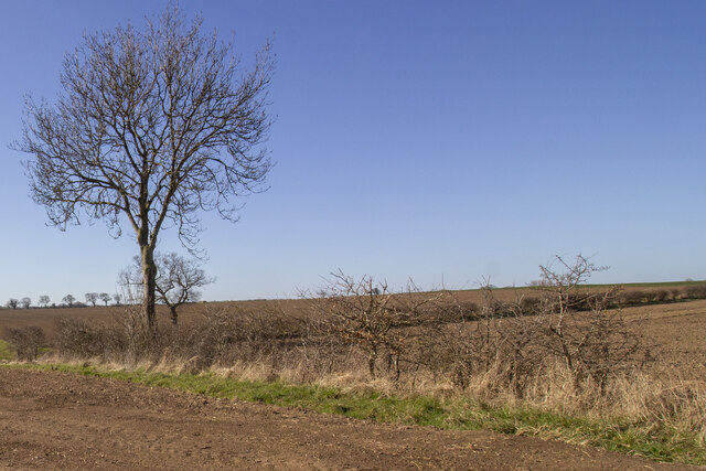
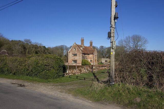
Blackwater Plantation, located in Norfolk, is a sprawling woodland area known for its abundant natural beauty and diverse flora and fauna. Spread across acres of land, this plantation is a haven for nature enthusiasts and outdoor adventurers.
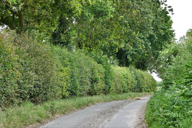
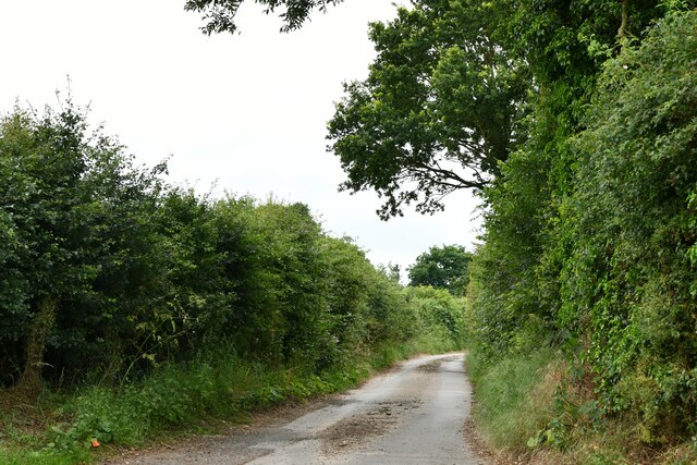
The plantation is primarily composed of a dense forest with a rich variety of trees, including oak, pine, and beech. These trees form a lush canopy that provides shade and creates a serene and peaceful atmosphere. The forest floor is covered in a thick layer of moss and ferns, adding to the enchanting ambience.
Blackwater Plantation is also home to a wide range of wildlife. Visitors might catch a glimpse of deer, rabbits, squirrels, and various species of birds, including woodpeckers and owls. The plantation’s untouched natural environment provides a perfect habitat for these creatures.
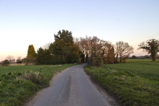
For those interested in outdoor activities, Blackwater Plantation offers several hiking trails that wind through the woods, providing an opportunity to explore the plantation's natural wonders. These trails vary in difficulty and length, catering to both novice and experienced hikers. Along the way, visitors might encounter picturesque streams, small waterfalls, and hidden picnic spots.
In addition to its natural beauty, Blackwater Plantation also serves as an educational center, hosting guided tours and workshops on topics such as forest conservation, wildlife preservation, and native plant species. Through these programs, visitors can gain a deeper understanding of the importance of protecting and preserving our natural resources.
Overall, Blackwater Plantation is a captivating destination for nature lovers, offering a picturesque escape from the hustle and bustle of city life. Whether it is for a leisurely stroll, a challenging hike, or an educational experience, this Norfolk woodland has something to offer for everyone.
If you have any feedback on the listing, please let us know in the comments section below.
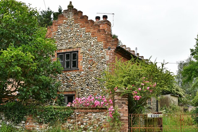
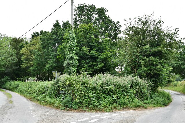
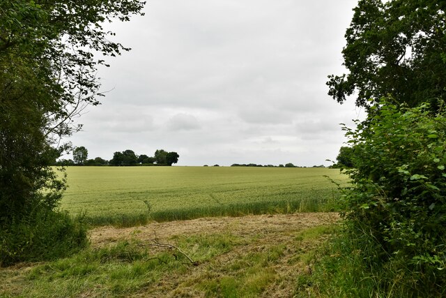
Blackwater Plantation Images
Images are sourced within 2km of 52.826595/1.099308 or Grid Reference TG0829. Thanks to Geograph Open Source API. All images are credited.


Blackwater Plantation is located at Grid Ref: TG0829 (Lat: 52.826595, Lng: 1.099308)
Administrative County: Norfolk
District: Broadland
Police Authority: Norfolk
What 3 Words
///indicate.disprove.audio. Near Briston, Norfolk
Nearby Locations
Related Wikis

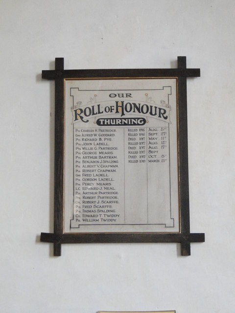
Thurning, Norfolk
Thurning is a small dispersed village and civil parish in the English county of Norfolk and district of North Norfolk, near the border with Broadland....

Corpusty and Saxthorpe railway station
Corpusty and Saxthorpe railway station was a railway station in the North Norfolk village of Corpusty. It was opened by the Eastern & Midlands Railway...

Saxthorpe
Saxthorpe is a village in Norfolk, England. The village is 12 miles (19 km) west south west of Cromer and 16.3 miles (26.2 km) north north west of Norwich...

Wood Dalling
Wood Dalling is a village and civil parish in Norfolk, England. It is located 8 miles (13 km) south of Holt and 3 miles (4.8 km) north of Reepham, the...

Nethergate, Norfolk
Nethergate is a hamlet within the civil parish of Hindolveston in the English county of Norfolk. The hamlet is 15.9 miles (25.6 km) west-south-west of...

Heydon, Norfolk
Heydon is a village and civil parish in Norfolk, England. It is located 3 miles (4.8 km) north of the market town of Reepham. The village can be accessed...

Barningham Green
Barningham Green is a village in Norfolk, England. The villages name means 'Homestead/village of Beorn's people'. == References == http://kepn.nottingham...

Briston
Briston is a village, civil parish and electoral ward in the English county of Norfolk that contains the hamlet of Briston Common. The village is 11 miles...
Nearby Amenities
Located within 500m of 52.826595,1.099308Have you been to Blackwater Plantation?
Leave your review of Blackwater Plantation below (or comments, questions and feedback).