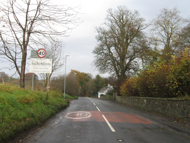
Auchendinny
Settlement in Midlothian
Scotland
Auchendinny
Auchendinny is a small village located in the county of Midlothian, Scotland. Situated approximately 12 miles southeast of the capital city of Edinburgh, Auchendinny is nestled in the picturesque Pentland Hills, offering residents and visitors stunning views and access to outdoor activities.
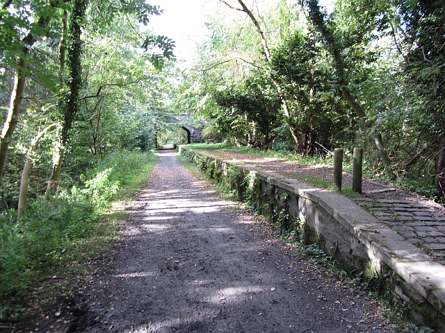
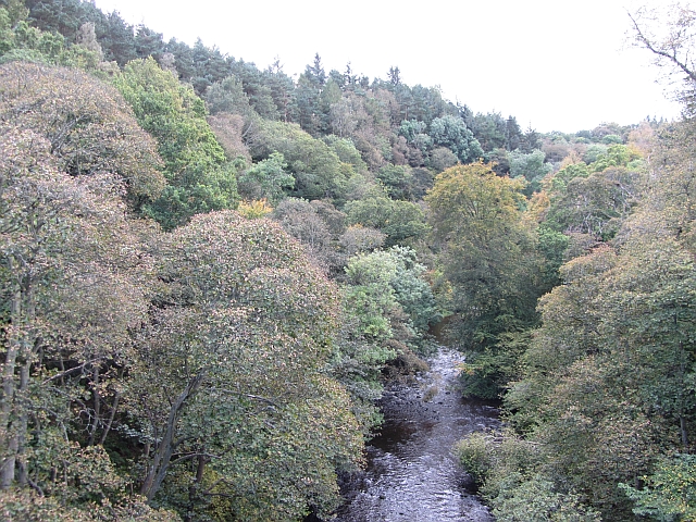
The village is known for its peaceful and rural character, with a population of around 800 people. It features a mix of traditional stone-built houses and more modern residential developments. The quaint Auchendinny Bridge, a historic stone bridge over the River North Esk, is a notable landmark in the area.
Auchendinny benefits from its proximity to the larger towns of Penicuik and Loanhead, which provide essential amenities such as shops, supermarkets, schools, and healthcare facilities. The village itself has limited amenities, including a local pub and a community hall.
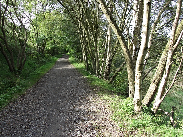
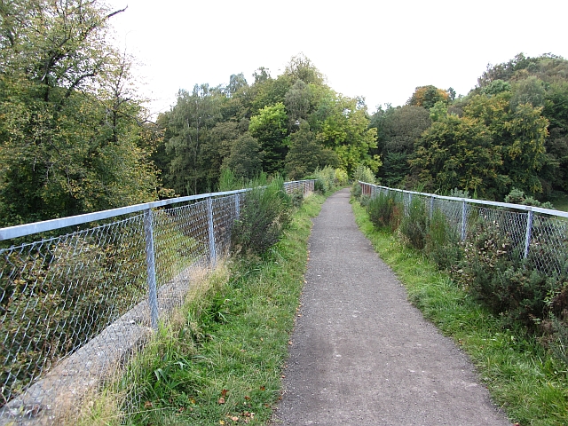
Nature enthusiasts are drawn to Auchendinny due to its access to the Pentland Hills Regional Park, a vast area of natural beauty that offers a range of outdoor activities, including hiking, cycling, and wildlife spotting. The park is also home to the popular Glencorse Reservoir, which provides opportunities for fishing and sailing.
Transport links to Auchendinny are relatively good, with regular bus services connecting the village to nearby towns and Edinburgh. The A702 road runs through the area, providing easy access to the capital and other parts of Midlothian.
Overall, Auchendinny offers a tranquil setting, stunning natural landscapes, and a close-knit community, making it an attractive place to reside or visit for those seeking a slower pace of life.
If you have any feedback on the listing, please let us know in the comments section below.
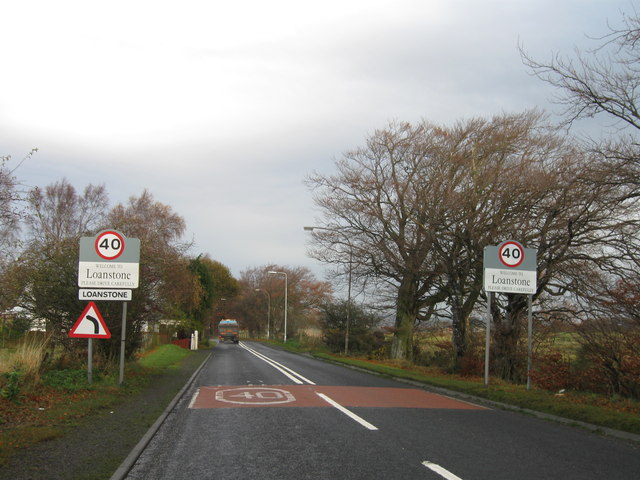
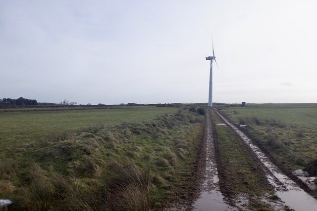
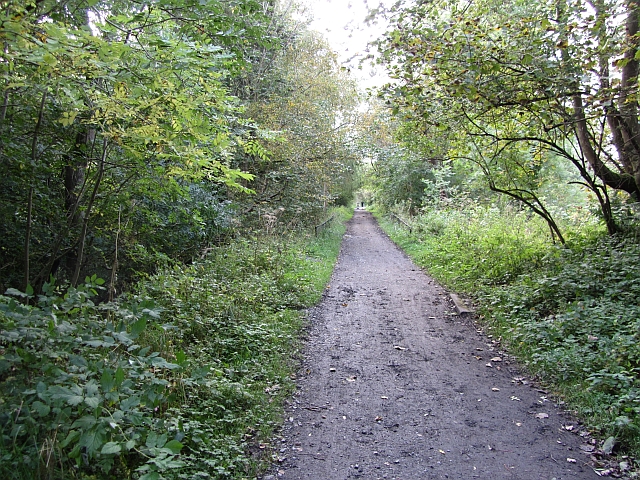
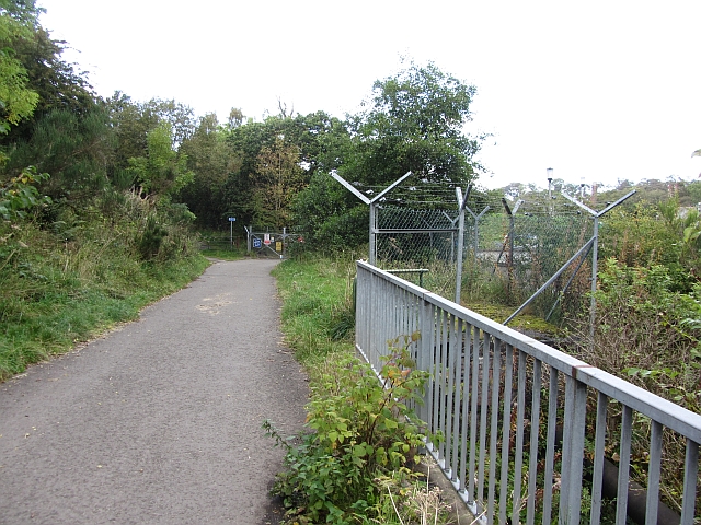
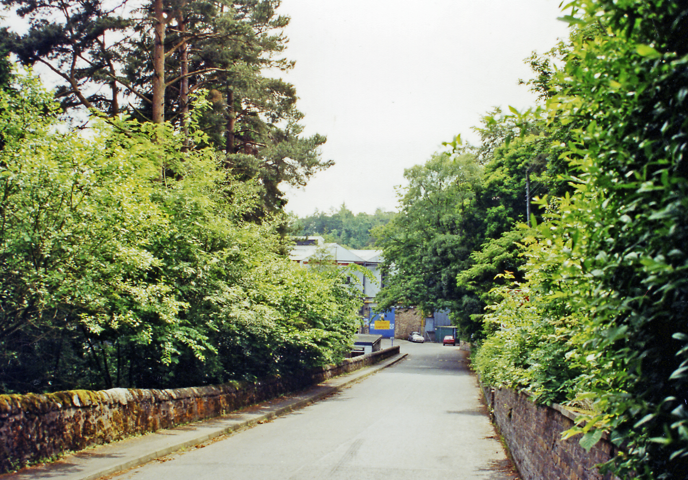
Auchendinny Images
Images are sourced within 2km of 55.843871/-3.193825 or Grid Reference NT2561. Thanks to Geograph Open Source API. All images are credited.


Auchendinny is located at Grid Ref: NT2561 (Lat: 55.843871, Lng: -3.193825)
Unitary Authority: Midlothian
Police Authority: The Lothians and Scottish Borders
What 3 Words
///zapped.strutting.promise. Near Roslin, Midlothian
Nearby Locations
Related Wikis
Auchendinny railway station
Auchendinny railway station was a station which served Auchendinny, in the Scottish county of Midlothian. It was served by trains on the branch line that...

Auchendinny
Auchendinny (Scottish Gaelic: Achadh an t-Sionnaich, meaning field of the fox) is a small village in Glencorse near Penicuik, Midlothian, Scotland. The...
Oldwoodhouselee Castle
Old Woodhouselee Castle was a 16th-century tower house, about 1.5 miles (2.4 km) north east of Penicuik, Midlothian, Scotland, south of the river North...
Woodhouselee
Woodhouselee is an estate in Midlothian in the parish of Glencorse. It has been owned by gentry including William Tytler and Alexander Fraser Tytler....
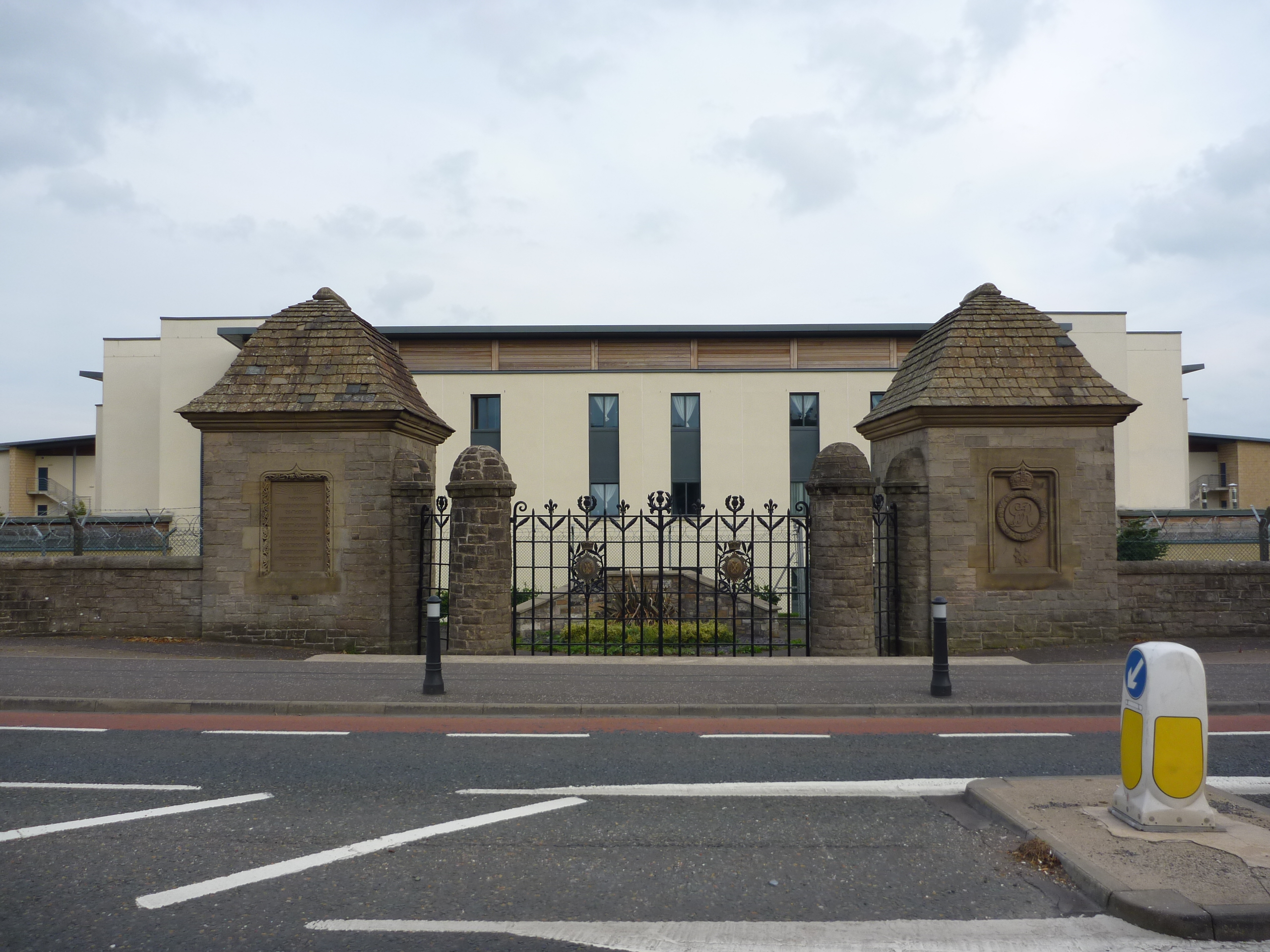
Glencorse Barracks
Glencorse Barracks is a British Army barracks situated in Glencorse just outside the town of Penicuik in Midlothian, Scotland. It is one of the three barracks...
Milton Bridge
Milton Bridge is a village in Midlothian, Scotland. It is located two miles north of Penicuik on the Glencorse Burn and gets its name from the bridge crossing...
Glencorse railway station
Glencorse railway station served the parish of Glencorse, Midlothian, Scotland, from 1877 to 1959 on the Edinburgh, Loanhead and Roslin Railway. ��2�...
Glencorse
Glencorse is a parish of Midlothian, Scotland, lying 7 miles (11 kilometres) south of Edinburgh. It is bounded on the north-west by the former parish...
Related Videos
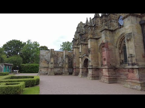
🇬🇧🏴Walking around ROSSLYN CHAPEL and CASTLE (no talking)
It has a long history and was also shooting location for e.g. 'Da Vinci Code' However filming or photos inside the Chapel are not ...
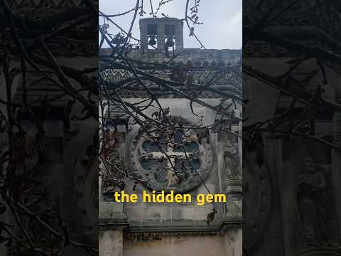
The Hidden Gem at Rosslyn Chapel #scotland #walking
The glen near Edinburgh. Scotlands hidden gem. Roslin Glen is Scotlands beautiful hidden gem. A great walk through a historic ...

I find myself south of Edinburgh with time on my hands and end up walking back to the 15th century!
After dropping off my van for its service and MOT, I was stuck south of Edinburgh with little idea of what to do for a few hours.

Rosslyn Chapel - The DaVinci Code's Holy Grail - Scotland Travel Ideas
Rosslyn Chapel is located in a remote town called Roslin just outside Edinburgh, Scotland. It's most famous for being the home of ...
Nearby Amenities
Located within 500m of 55.843871,-3.193825Have you been to Auchendinny?
Leave your review of Auchendinny below (or comments, questions and feedback).