Old Woodhouselee Castle

Heritage Site in Midlothian

Scotland

Old Woodhouselee Castle

Entrance to Loanstone
Entrance to Loanstone Credit: Alex McGregor

Old Woodhouselee Castle is a historic heritage site located in Midlothian, Scotland. Situated on the outskirts of the village of Roslin, the castle dates back to the 16th century and is a fine example of Scottish architecture from that period.

The castle is surrounded by picturesque countryside, offering visitors a glimpse into the past as they explore its well-preserved ruins. The original tower house, which still stands today, was constructed in the 1500s for the Stewart family. Over the centuries, the castle underwent various modifications and expansions by subsequent owners.

The castle's architecture showcases a blend of medieval and Renaissance styles. Features such as battlements, turrets, and Gothic windows are indicative of its medieval origins, while the addition of Renaissance elements like ornate stone carvings and decorative moldings reflect later architectural influences.

Today, Old Woodhouselee Castle stands as a testament to Scotland's rich history. Visitors can explore the castle's grounds, taking in its impressive exterior and enjoying the tranquil surroundings. Although the interior of the castle is not accessible to the public, the exterior offers a visual feast for history enthusiasts and architecture lovers alike.

The castle's location also makes it an ideal spot for a leisurely walk or a picnic, with the nearby Woodhouselee Hill offering panoramic views of the surrounding countryside. Overall, Old Woodhouselee Castle is a captivating heritage site that transports visitors back in time, providing a glimpse into the architectural and historical legacy of Scotland's past.

If you have any feedback on the listing, please let us know in the comments section below.

Old Woodhouselee Castle Images

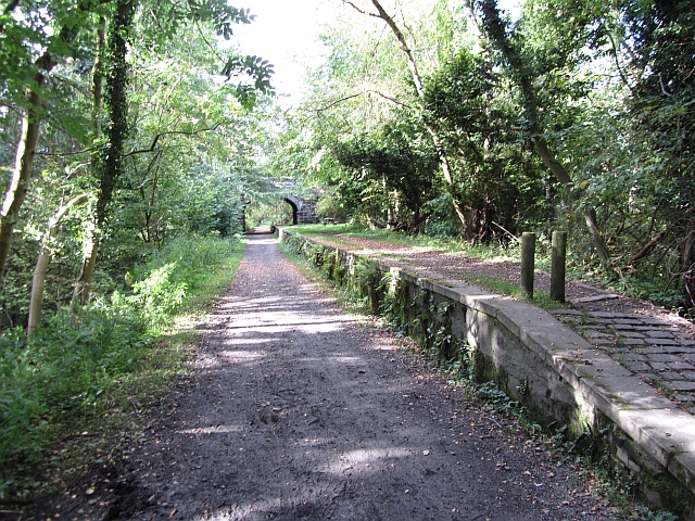
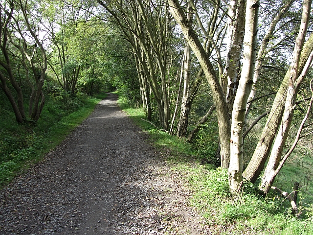
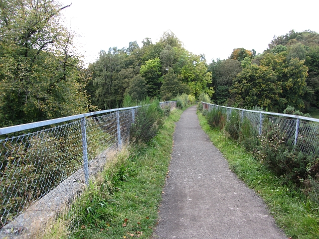
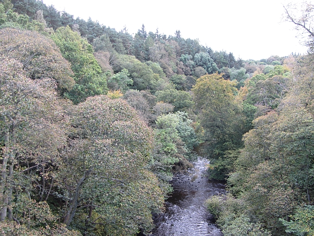
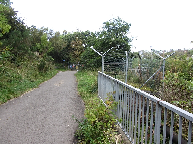
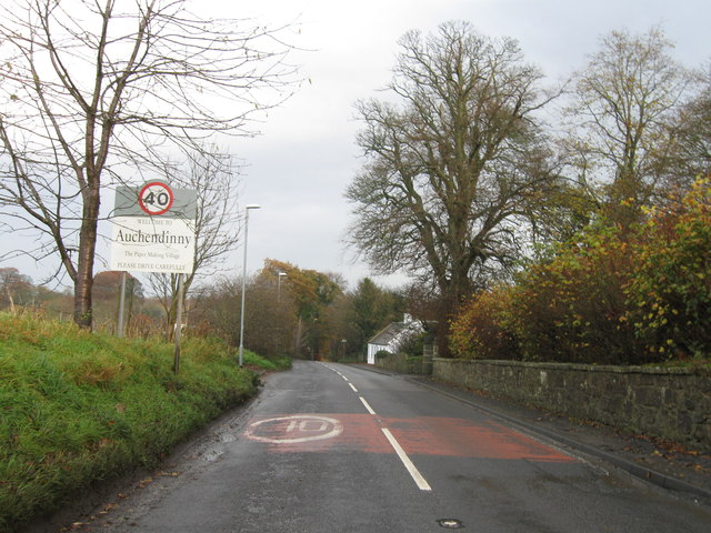
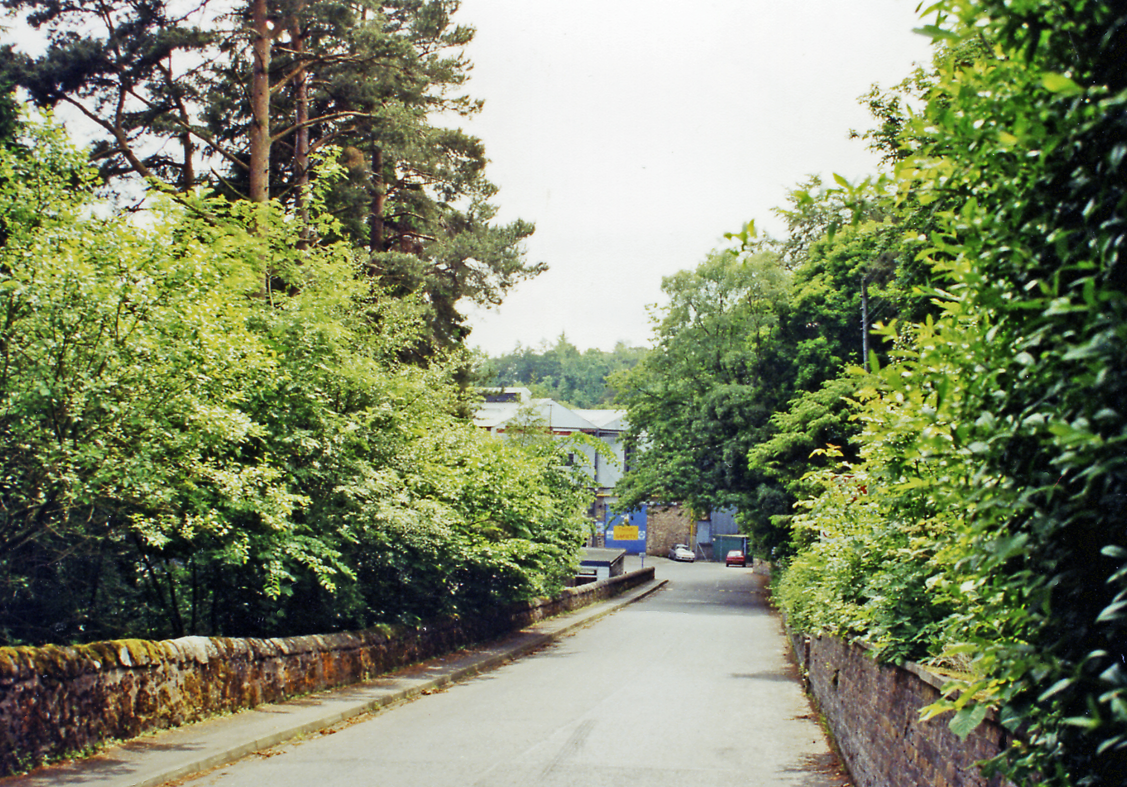
Images are sourced within 2km of 55.842/-3.19 or Grid Reference NT2561. Thanks to Geograph Open Source API. All images are credited.

Entrance to Loanstone
Peebles Railway trackbed, Loanstone
Track and turbine, Loanstone A single wind turbine. It was doing good business today, I was fighting a strong headwind over Mount Lothian.
Track and turbine, Loanstone
A single wind turbine. It was doing good business today, I was fighting a strong headwind over Mount Lothian.
Houses, Auchendinny
Houses, Auchendinny
Glencorse Kirk This is the west wall of Glencorse kirk, taken from the footpath running alongside a stream.
Glencorse Kirk
This is the west wall of Glencorse kirk, taken from the footpath running alongside a stream.
Glencorse War Memorial Memorial commemorating the fallen.  Army housing in the background.
Glencorse War Memorial
Memorial commemorating the fallen. Army housing in the background.
Penicuik Railway A branch line to Penicuik ran here. Now it is a popular path between Penicuik and Eskbank.
Land falls steeply to the left down to Roslin Glen.
Penicuik Railway
A branch line to Penicuik ran here. Now it is a popular path between Penicuik and Eskbank. Land falls steeply to the left down to Roslin Glen.
Road to the Kirk Autumn morning looking to Glencorse Parish Church from the minor road near Milton Bank.
Road to the Kirk
Autumn morning looking to Glencorse Parish Church from the minor road near Milton Bank.
Stonking Conker Horse Chestnut - Aesculus hippocastanum - commonly known as a conker tree looking magnificent in its showy early autumnal colours.
Stonking Conker
Horse Chestnut - Aesculus hippocastanum - commonly known as a conker tree looking magnificent in its showy early autumnal colours.
Autumn at the Kirk Glecorse Parish Church a listed building <span class="nowrap"><a title="http://www.britishlistedbuildings.co.uk/sc-7456-glencorse-parish-church-glencorse" rel="nofollow ugc noopener" href="http://www.britishlistedbuildings.co.uk/sc-7456-glencorse-parish-church-glencorse">Link</a><img style="margin-left:2px;" alt="External link" title="External link - shift click to open in new window" src="https://s1.geograph.org.uk/img/external.png" width="10" height="10"/></span> beside some trees showing some early autumn colours. Horse Chestnut particularly impressive.
Taken from beside another magnificent tree shown here in winter plumage.

<a title="https://www.geograph.org.uk/photo/1116794" href="https://www.geograph.org.uk/photo/1116794">Link</a>
Autumn at the Kirk
Glecorse Parish Church a listed building LinkExternal link beside some trees showing some early autumn colours. Horse Chestnut particularly impressive. Taken from beside another magnificent tree shown here in winter plumage. Link
Rosslyn Castle Station The platform of a station on the now closed Penicuik Railway.
Rosslyn Castle Station
The platform of a station on the now closed Penicuik Railway.
Penicuik Railway Looking along the trackbed towards Penicuik. The railway was cut into the side of a steep glen here, just upstream of Roslin. The trackbed is now a cycle path.
Penicuik Railway
Looking along the trackbed towards Penicuik. The railway was cut into the side of a steep glen here, just upstream of Roslin. The trackbed is now a cycle path.
Firth Viaduct The viaduct carried the Penicuik Railway across the North Esk.
Firth Viaduct
The viaduct carried the Penicuik Railway across the North Esk.
River North Esk A view from the Firth Viaduct. The rail journey out of Penicuik was obviously a scenic one.
River North Esk
A view from the Firth Viaduct. The rail journey out of Penicuik was obviously a scenic one.
Penicuik Railway The trackbed crosses a haugh beneath Beeslack.
Penicuik Railway
The trackbed crosses a haugh beneath Beeslack.
Penicuik Railway The trackbed is being used as an access road to the sewage works.
Penicuik Railway
The trackbed is being used as an access road to the sewage works.
Entrance to Auchendinny
Glencorse Kirk
Glencorse Kirk
Show me another place!

Old Woodhouselee Castle is located at Grid Ref: NT2561 (Lat: 55.842, Lng: -3.19)

Unitary Authority: Midlothian

Police Authority: The Lothians and Scottish Borders

What 3 Words

///strapped.snails.headliner. Near Roslin, Midlothian

Related Wikis

Oldwoodhouselee Castle

Old Woodhouselee Castle was a 16th-century tower house, about 1.5 miles (2.4 km) north east of Penicuik, Midlothian, Scotland, south of the river North...

Woodhouselee

Woodhouselee is an estate in Midlothian in the parish of Glencorse. It has been owned by gentry including William Tytler and Alexander Fraser Tytler....

Auchendinny railway station

Auchendinny railway station was a station which served Auchendinny, in the Scottish county of Midlothian. It was served by trains on the branch line that...

Auchendinny

Auchendinny (Scottish Gaelic: Achadh an t-Sionnaich, meaning field of the fox) is a small village in Glencorse near Penicuik, Midlothian, Scotland. The...
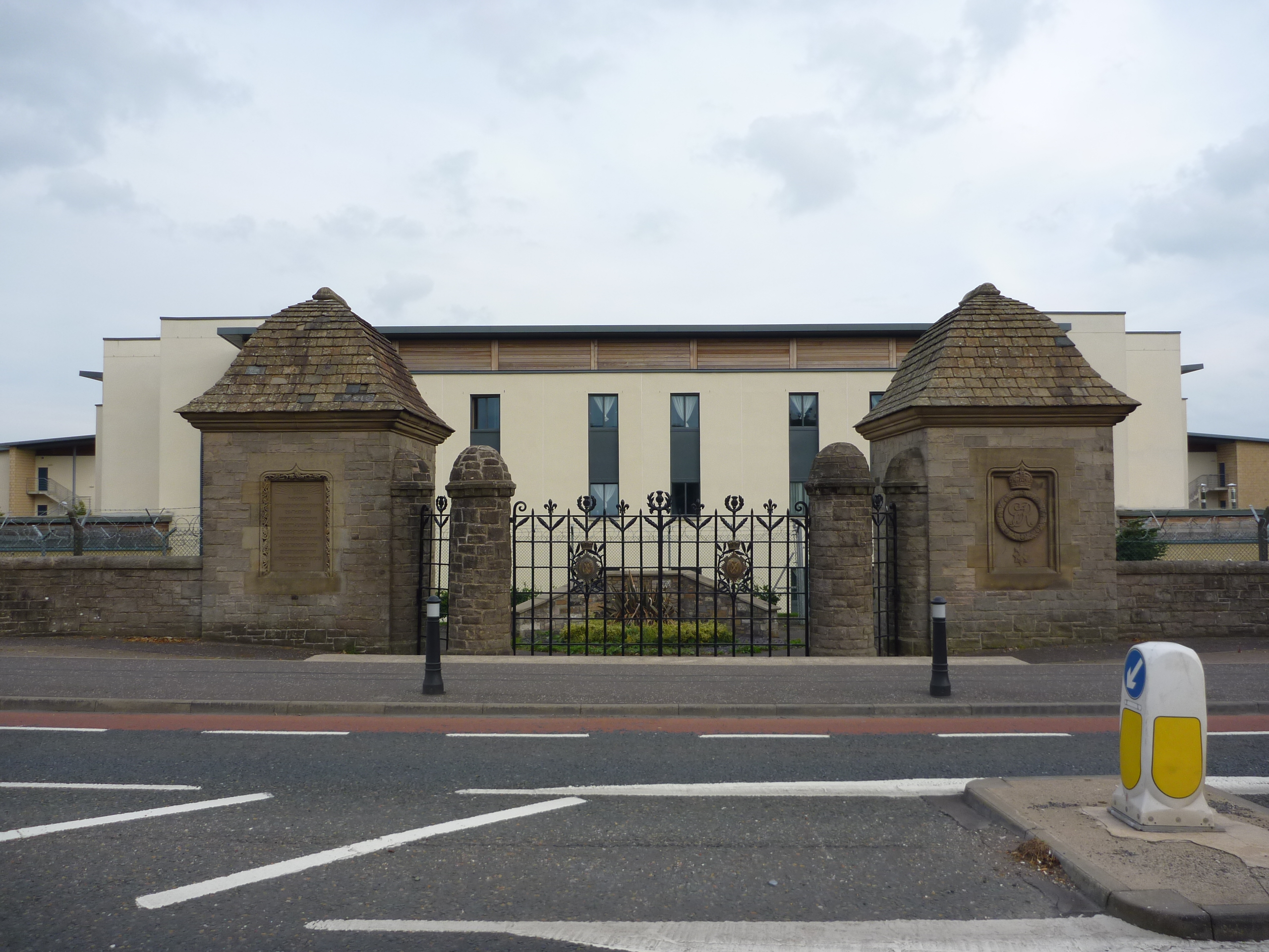
Glencorse Barracks

Glencorse Barracks is a British Army barracks situated in Glencorse just outside the town of Penicuik in Midlothian, Scotland. It is one of the three barracks...

Milton Bridge

Milton Bridge is a village in Midlothian, Scotland. It is located two miles north of Penicuik on the Glencorse Burn and gets its name from the bridge crossing...

Glencorse railway station

Glencorse railway station served the parish of Glencorse, Midlothian, Scotland, from 1877 to 1959 on the Edinburgh, Loanhead and Roslin Railway. ��2�...

Rosslynlee Hospital Halt railway station

Rosslynlee Hospital Halt railway station that served Rosslynlee Hospital, Midlothian, Scotland from 1958 to 1962 on the Peebles Railway. == History... ==

Nearby Amenities

Located within 500m of 55.842,-3.19
Cycleway: asl
Lat/Long: 55.8439969/-3.1935619
Auchendinny
Historic Railway: station
Railway: site
Source: NLS_OS25inch-1907
Wikidata: Q4819392
Wikipedia: en:Auchendinny railway station
Lat/Long: 55.8432892/-3.1971957
The Victoria Inn
Check Date: 2023-05-28
Disused Amenity: pub
Lat/Long: 55.8459623/-3.1927538
Traffic Signals
Lat/Long: 55.8445108/-3.1928691
Traffic Signals
Lat/Long: 55.8450898/-3.1927632
Traffic Signals
Crossing: traffic_signals
Tactile Paving: yes
Lat/Long: 55.8438874/-3.1937327
Traffic Signals
Lat/Long: 55.8426691/-3.1969303
Power: pole
Lat/Long: 55.839187/-3.1854502
Power: pole
Lat/Long: 55.842151/-3.1843615
Power: pole
Lat/Long: 55.8438437/-3.1854395
Power: pole
Lat/Long: 55.8421254/-3.184619
Power: pole
Lat/Long: 55.8453496/-3.1856702
Power: pole
Lat/Long: 55.8437864/-3.1856542
Power: pole
Lat/Long: 55.84141/-3.1846512
Power: pole
Lat/Long: 55.8423347/-3.1847584
Power: pole
Lat/Long: 55.841416/-3.1848737
Power: pole
Lat/Long: 55.8392503/-3.1856596
Power: pole
Lat/Long: 55.8431479/-3.1850211
Power: pole
Lat/Long: 55.8406675/-3.1851446
Power: pole
Lat/Long: 55.8430952/-3.1852277
Power: pole
Lat/Long: 55.839925/-3.1854074
Power: pole
Lat/Long: 55.839916/-3.185182
Power: pole
Lat/Long: 55.8453601/-3.1859332
Power: pole
Lat/Long: 55.8385366/-3.1857184
Power: pole
Lat/Long: 55.840654/-3.1849245
Power: pole
Lat/Long: 55.842438/-3.1845538
Power: pole
Lat/Long: 55.8383271/-3.1860378
Barrier: kissing_gate
Lat/Long: 55.8430199/-3.1969384
Traffic Signals
Lat/Long: 55.8430349/-3.1957154
Cycleway: asl
Lat/Long: 55.8438124/-3.1935916
Bus Stop
The Brae (foot)
Public Transport: platform
Lat/Long: 55.8452207/-3.192846
Bus Stop
Bench: yes
Bin: no
Public Transport: platform
Shelter: yes
Tactile Paving: no
Lat/Long: 55.844607/-3.192677
Traffic Calming: hump
Lat/Long: 55.8441561/-3.1947743
Traffic Calming: hump
Lat/Long: 55.8444451/-3.1957486
Public Bookcase
Booth: K6
Disused Amenity: telephone
Man Made: telephone_box
Old Phone: +44 1968 676733
Public Bookcase Type: phone_box
Source: survey
Lat/Long: 55.8455564/-3.1928537
Barrier: kissing_gate
Lat/Long: 55.8422269/-3.1936269
Post Box
Collection Times: Mo-Fr 17:00; Sa 12:00
Operator: Royal Mail
Post Box Type: wall
Ref: EH26 97
Royal Cypher: EVIIR
Royal Cypher Wikidata: Q33102324
Lat/Long: 55.8452349/-3.192849
Oldwoodhouselee Castle
Heritage: yes
Historic: castle
Ruins: yes
Wikidata: Q42887816
Wikipedia: en:Oldwoodhouselee Castle
Lat/Long: 55.8415998/-3.1875962
Golf: pin
Lat/Long: 55.8446259/-3.1943561
Entrance: staircase
Lat/Long: 55.8419749/-3.1935909
Entrance: staircase
Lat/Long: 55.8419269/-3.193425
Addr City: Penicuick
Addr Housenumber: 2
Addr Street: Old Dalmore Path
Lat/Long: 55.8424168/-3.1948382
Entrance: staircase
Lat/Long: 55.8423478/-3.1953977
Entrance: staircase
Lat/Long: 55.8423613/-3.1952247
Addr City: Penicuick
Addr Housenumber: 20
Addr Street: Old Dalmore Path
Lat/Long: 55.8418799/-3.1940791
Entrance: staircase
Lat/Long: 55.8420958/-3.1939288
Entrance: staircase
Lat/Long: 55.8421335/-3.1941064
Entrance: staircase
Lat/Long: 55.8422296/-3.194413
Entrance: staircase
Lat/Long: 55.8423309/-3.1943267
Entrance: staircase
Lat/Long: 55.8423935/-3.1945718
Entrance: staircase
Lat/Long: 55.8422887/-3.1946513
Entrance: staircase
Lat/Long: 55.8423461/-3.1948341
Entrance: staircase
Lat/Long: 55.8424513/-3.1948618
Addr City: Penicuick
Addr Housenumber: 12
Addr Street: Old Dalmore Gardens
Lat/Long: 55.8410864/-3.1952983
Addr City: Penicuick
Addr Housenumber: 11
Addr Street: Old Dalmore Gardens
Lat/Long: 55.8411405/-3.1955375
Addr City: Penicuik
Addr Housenumber: 7
Addr Street: Old Dalmore Gardens
Lat/Long: 55.8416946/-3.1955021
Addr City: Penicuik
Addr Housenumber: 6
Addr Street: Old Dalmore Gardens
Lat/Long: 55.8416938/-3.1955903
Addr City: Penicuik
Addr Housenumber: 5
Addr Street: Old Dalmore Gardens
Lat/Long: 55.8416927/-3.1956857
Addr City: Penicuick
Addr Housenumber: 4
Addr Street: Old Dalmore Gardens
Lat/Long: 55.8418629/-3.1956656
Addr City: Penicuick
Addr Housenumber: 3
Addr Street: Old Dalmore Gardens
Lat/Long: 55.8418281/-3.1954796
Addr City: Penicuick
Addr Housenumber: 2
Addr Street: Old Dalmore Gardens
Lat/Long: 55.8418297/-3.1953749
Addr City: Penicuick
Addr Housenumber: 1
Addr Street: Old Dalmore Gardens
Lat/Long: 55.8418314/-3.1952687
Barrier: cycle_barrier
Lat/Long: 55.8425986/-3.1951466
Cycleway: asl
Lat/Long: 55.8437323/-3.1939704
Cycleway: asl
Lat/Long: 55.8439709/-3.1939919
Power: pole
Lat/Long: 55.8417979/-3.1978504
Power: pole
Lat/Long: 55.8449496/-3.1918994
Power: pole
Lat/Long: 55.8452702/-3.1903179
Power: pole
Lat/Long: 55.8455638/-3.1888697
Power: pole
Lat/Long: 55.8458399/-3.1866735
Addr City: Penicuick
Addr Housenumber: 20
Addr Postcode: EH26 0NG
Addr Street: Old Dalmore Drive
Lat/Long: 55.8423961/-3.1945818
Addr City: Penicuick
Addr Housenumber: 22
Addr Postcode: EH26 0NG
Addr Street: Old Dalmore Drive
Lat/Long: 55.8423958/-3.1945807
Addr City: Penicuick
Addr Housenumber: 24
Addr Postcode: EH26 0NG
Addr Street: Old Dalmore Drive
Lat/Long: 55.8423954/-3.1945793
Addr City: Penicuick
Addr Housenumber: 26
Addr Postcode: EH26 0NG
Addr Street: Old Dalmore Drive
Lat/Long: 55.8423951/-3.194578
Addr City: Penicuick
Addr Housenumber: 28
Addr Postcode: EH26 0NG
Addr Street: Old Dalmore Drive
Lat/Long: 55.8423948/-3.1945768
Addr City: Penicuick
Addr Housenumber: 30
Addr Postcode: EH26 0NG
Addr Street: Old Dalmore Drive
Lat/Long: 55.8423944/-3.1945755
Addr City: Penicuick
Addr Housenumber: 32
Addr Postcode: EH26 0NG
Addr Street: Old Dalmore Drive
Lat/Long: 55.8423941/-3.1945742
Bench
Backrest: yes
Lat/Long: 55.8419067/-3.1886577
Entrance: yes
Lat/Long: 55.842015/-3.1928554
Entrance: yes
Lat/Long: 55.8419597/-3.1926112
Entrance: yes
Lat/Long: 55.8419164/-3.1929137
Entrance: yes
Lat/Long: 55.8418637/-3.1926702
Addr City: Penicuik
Addr Housenumber: 5
Addr Postcode: EH26 0NG
Addr Street: Old Dalmore Drive
Lat/Long: 55.8427314/-3.1947665
Addr City: Penicuik
Addr Housenumber: 7
Addr Postcode: EH26 0NG
Addr Street: Old Dalmore Drive
Lat/Long: 55.8425548/-3.1945465
Addr City: Penicuik
Addr Housenumber: 3
Addr Postcode: EH26 0NG
Addr Street: Old Dalmore Drive
Lat/Long: 55.8426327/-3.1948617
Addr City: Penicuik
Addr Housenumber: 7
Addr Postcode: EH26 0NG
Addr Street: Old Dalmore Drive
Lat/Long: 55.842889/-3.1945721
Information: board
Tourism: information
Lat/Long: 55.842579/-3.1951887
Waste Basket
Lat/Long: 55.8426172/-3.1951406
The data included in this document is from www.openstreetmap.org. The data is made available under ODbL.

Have you been to Old Woodhouselee Castle?

Leave your review of Old Woodhouselee Castle below (or comments, questions and feedback).