Ball Grove

Wood, Forest in Essex Colchester

England

Ball Grove

Haye Lane, Abberton A lane north of the village of Abberton.
Haye Lane, Abberton Credit: Trevor Harris

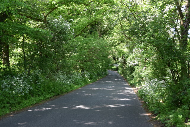
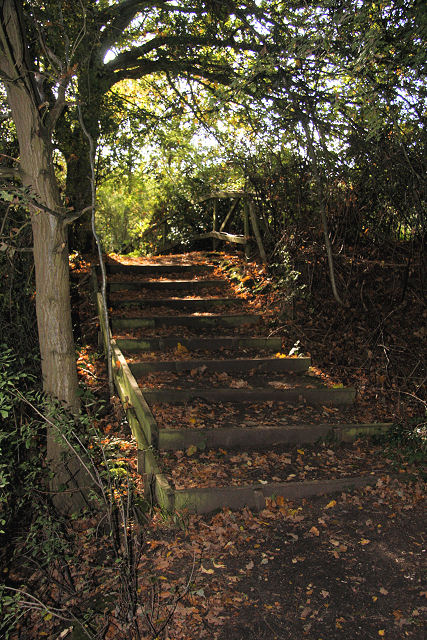
Ball Grove is a picturesque wood located in the county of Essex, England. Situated within the larger Epping Forest, Ball Grove stands out for its serene atmosphere and abundant natural beauty. Spanning an area of approximately 50 acres, this enchanting woodland is a popular destination for nature enthusiasts and hikers alike.

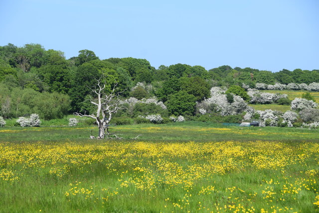
The wood is primarily composed of mature oak trees, with a dense canopy that provides shade and shelter for a diverse range of flora and fauna. Bluebells, wild garlic, and wood anemones carpet the forest floor during the spring, creating a vibrant and colorful display. The tranquil ambiance of Ball Grove is further enhanced by the presence of a small stream that meanders through the woodland, adding a soothing touch to the overall environment.

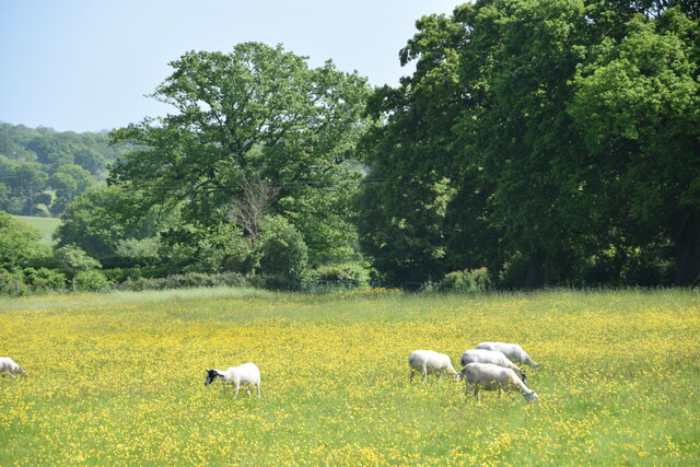
With its well-maintained trails and footpaths, Ball Grove offers visitors the opportunity to explore its natural wonders at their own pace. The paths wind through the wood, leading to hidden glades and secluded spots that are perfect for picnics or quiet contemplation. Wildlife is abundant in Ball Grove, and lucky visitors may spot deer, foxes, and a variety of bird species such as woodpeckers and owls.

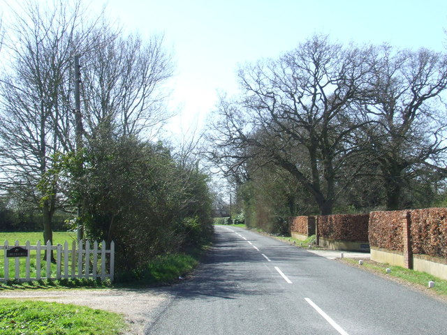
Ball Grove is easily accessible, with ample parking facilities nearby. It is a popular spot for families, couples, and individuals seeking solace in nature. The wood is open to the public throughout the year, and visitors are encouraged to respect the environment and abide by the local guidelines for a sustainable and enjoyable experience.

If you have any feedback on the listing, please let us know in the comments section below.
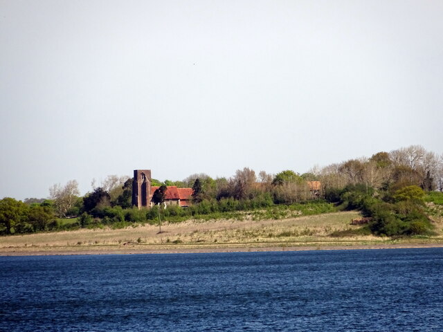
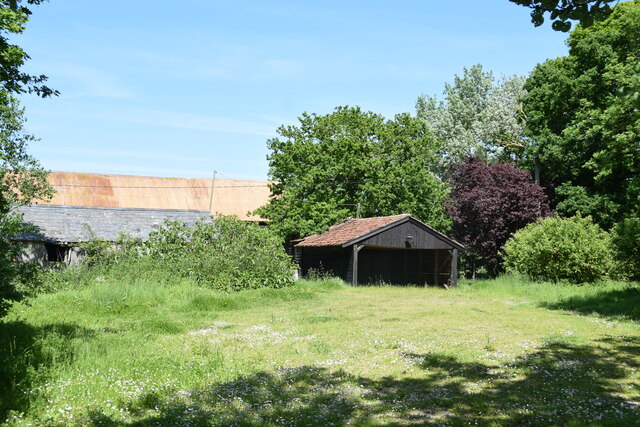
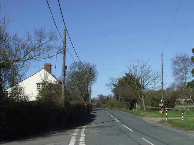
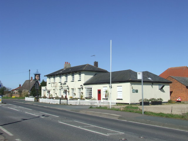
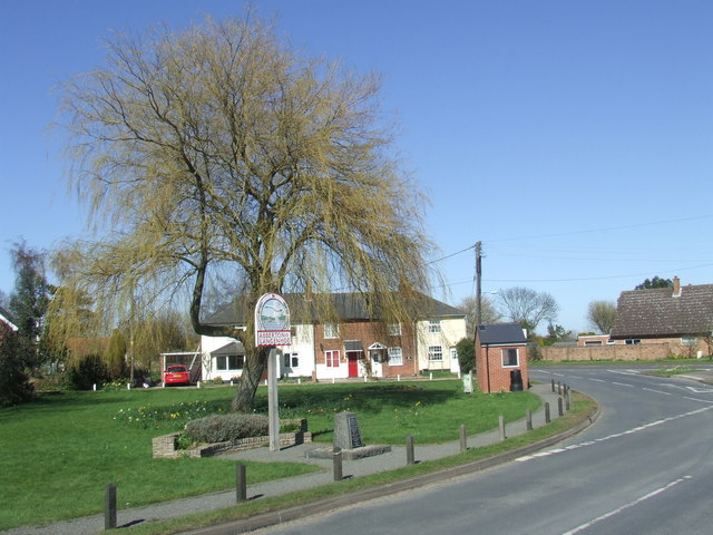
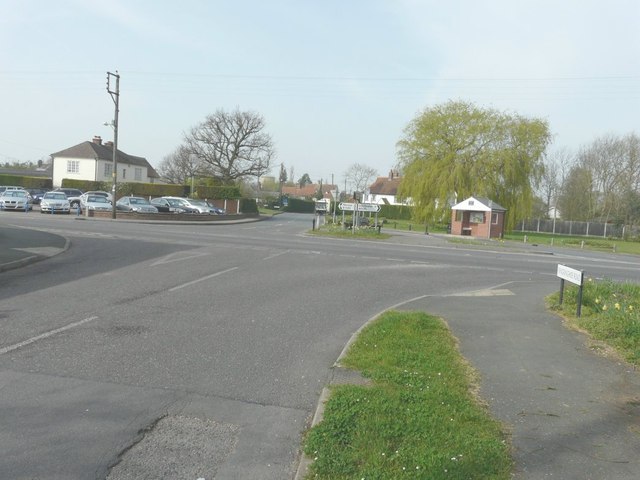
Ball Grove Images

Images are sourced within 2km of 51.851495/0.91206545 or Grid Reference TM0020. Thanks to Geograph Open Source API. All images are credited.

Haye Lane, Abberton A lane north of the village of Abberton.
Haye Lane, Abberton
A lane north of the village of Abberton.
Sheep and buttercups Sheep grazing in a field by Haye Lane.
Sheep and buttercups
Sheep grazing in a field by Haye Lane.
Crossroad in Abberton Taken from Layer Road, with Mersea Road crossing and looking towards Fingrinhoe Road.
Crossroad in Abberton
Taken from Layer Road, with Mersea Road crossing and looking towards Fingrinhoe Road.
Abberton: Bus shelter
Abberton: Village sign and War Memorial
Abberton and Langenhoe Village Sign
Abberton: 1-5 Mersea Road
Abberton: 1-4, Waver Terrace and telephone box now used as a book swap facility
View of St Andrews church & Abberton Reservoir
Farm buildings at Abberton Hall Taken from the footpath to the church.
Farm buildings at Abberton Hall
Taken from the footpath to the church.
Dead oak, buttercups, hawthorn blossom A view across a pasture north of Abberton Reservoir.
Dead oak, buttercups, hawthorn blossom
A view across a pasture north of Abberton Reservoir.
Abberton Road near Abberton, Essex
The Lion, Abberton The Lion pub in the village of Abberton, Essex
The Lion, Abberton
The Lion pub in the village of Abberton, Essex
Abberton, Essex The sign is for Abberton and Langenhoe.  Langenhoe is the name of a small settlement immediately to the south of the centre of Abberton.

The stone in front of the village sign is a memorial to villagers killed during the two World Wars.
Abberton, Essex
The sign is for Abberton and Langenhoe. Langenhoe is the name of a small settlement immediately to the south of the centre of Abberton. The stone in front of the village sign is a memorial to villagers killed during the two World Wars.
Crossroads at Abberton Looking from Fingringhoe Road across the B1025 into Layer Road.
Crossroads at Abberton
Looking from Fingringhoe Road across the B1025 into Layer Road.
Abberton and Langenhoe, village sign and war memorial
St Andrew's church, Abberton C14 nave, chancel C19 on C14 foundations, tower is C16.
St Andrew's church, Abberton
C14 nave, chancel C19 on C14 foundations, tower is C16.
Show me another place!

Ball Grove is located at Grid Ref: TM0020 (Lat: 51.851495, Lng: 0.91206545)

Administrative County: Essex

District: Colchester

Police Authority: Essex

What 3 Words

///woof.bench.index. Near Rowhedge, Essex

Nearby Locations

Man Wood Ball Grove

Related Wikis

Roman River SSSI

Roman River is a 275.6-hectare (681-acre) biological Site of Special Scientific Interest (SSSI) south of Colchester in Essex. Two areas, Friday Wood and...

Berechurch

Berechurch is an suburb of Colchester in Essex, England. Berechurch was formerly a separate civil parish. In 1891 the parish had a population of 167. On...

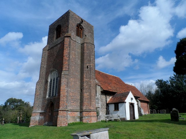
St Michael's Church, Berechurch

St Michael's Church is a redundant Anglican church in the village of Berechurch, Essex, England. It is recorded in the National Heritage List for England...

Donyland Lodge

Donyland Lodge was an independent school in Rowhedge, Colchester in the United Kingdom The school catered for children with complex behavioural, social...

Thomas Lord Audley School

Thomas Lord Audley School is a mixed 11–16 secondary school with academy status for 800 pupils, to the south of Colchester, Essex. It serves a wide catchment...
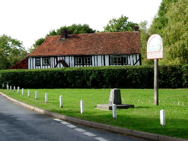
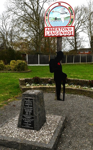
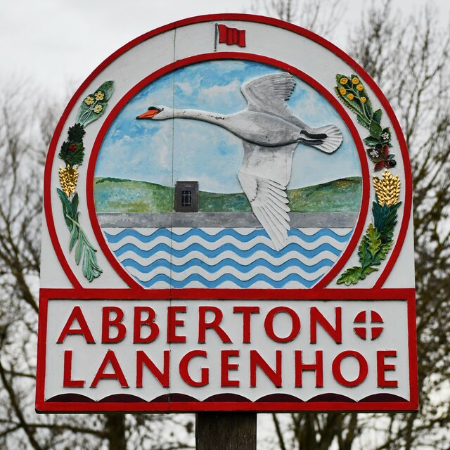
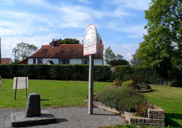
Abberton, Essex

Abberton is a village in the City of Colchester district of Essex, England. It is located approximately 0.62 mi (1.00 km) east of Abberton Reservoir and...

Rowhedge

Rowhedge is a village in the Colchester borough of Essex, England. It is located just over 3 miles (4.8 km) south-east of Colchester town centre and is...

East Donyland

East Donyland is a civil parish in the City of Colchester district of Essex, England. The civil parish includes the village of Rowhedge. The parish touches...

Nearby Amenities

Located within 500m of 51.851495,0.91206545
Bus Stop
Weir Lane
Naptan AtcoCode: 150014012005
Naptan Bearing: NW
Naptan CommonName: Weir Lane
Naptan Crossing: Weir Lane
Naptan Indicator: Adj
Naptan Landmark: Weir Lane
Naptan NaptanCode: esxdamad
Naptan Street: Mersea Road
Naptan Verified: no
Public Transport: platform
Source: naptan_import
Lat/Long: 51.8548634/0.9135383
Bus Stop
Weir Lane
Naptan AtcoCode: 150014012006
Naptan Bearing: SE
Naptan CommonName: Weir Lane
Naptan Crossing: Weir Lane
Naptan Indicator: Opp
Naptan Landmark: Weir Lane
Naptan NaptanCode: esxdamag
Naptan Street: Mersea Road
Naptan Verified: no
Public Transport: platform
Source: naptan_import
Lat/Long: 51.8556989/0.9128516
Roman Hill House
Naptan AtcoCode: 150014012011
Naptan Bearing: S
Naptan BusStopType: CUS
Naptan CommonName: Roman Hill House
Naptan Indicator: o/s
Naptan Landmark: Roman Hill House
Naptan NaptanCode: esxgdgwj
Naptan Street: Mersea Road
Naptan Verified: no
Public Transport: platform
Source: naptan_import
Lat/Long: 51.8528918/0.9147035
Roman Hill House
Naptan AtcoCode: 1500140120Y1
Naptan Bearing: N
Naptan BusStopType: CUS
Naptan CommonName: Roman Hill House
Naptan Indicator: Opp
Naptan Landmark: Roman Hill House
Naptan NaptanCode: esxgtmaj
Naptan Street: Mersea Road
Naptan Verified: no
Public Transport: platform
Source: naptan_import
Lat/Long: 51.8528577/0.9146287
Generator Method: photovoltaic
Generator Output Electricity: yes
Generator Source: solar
Generator Type: solar_photovoltaic_panel
Location: roof
Power: generator
Lat/Long: 51.8520932/0.9146064
Generator Method: photovoltaic
Generator Output Electricity: yes
Generator Source: solar
Generator Type: solar_photovoltaic_panel
Location: roof
Power: generator
Lat/Long: 51.8520733/0.914652
Generator Method: photovoltaic
Generator Output Electricity: yes
Generator Source: solar
Generator Type: solar_photovoltaic_panel
Location: roof
Power: generator
Lat/Long: 51.8555093/0.9127182
Generator Method: photovoltaic
Generator Output Electricity: yes
Generator Source: solar
Generator Type: solar_photovoltaic_panel
Location: roof
Power: generator
Lat/Long: 51.8556269/0.9102157
Generator Method: photovoltaic
Generator Output Electricity: yes
Generator Source: solar
Generator Type: solar_photovoltaic_panel
Location: roof
Power: generator
Lat/Long: 51.855617/0.91028
Generator Method: photovoltaic
Generator Output Electricity: yes
Generator Source: solar
Generator Type: solar_photovoltaic_panel
Location: roof
Power: generator
Lat/Long: 51.8551382/0.9119216
Generator Method: photovoltaic
Generator Output Electricity: yes
Generator Source: solar
Generator Type: solar_photovoltaic_panel
Location: roof
Power: generator
Lat/Long: 51.8545468/0.913319
Generator Method: photovoltaic
Generator Output Electricity: yes
Generator Source: solar
Generator Type: solar_photovoltaic_panel
Location: roof
Power: generator
Lat/Long: 51.854271/0.9130052
Generator Method: photovoltaic
Generator Output Electricity: yes
Generator Source: solar
Generator Type: solar_photovoltaic_panel
Location: roof
Power: generator
Lat/Long: 51.8542353/0.913032
Generator Method: photovoltaic
Generator Output Electricity: yes
Generator Source: solar
Generator Type: solar_photovoltaic_panel
Location: roof
Power: generator
Lat/Long: 51.8550521/0.9117419
Generator Method: photovoltaic
Generator Output Electricity: yes
Generator Source: solar
Generator Type: solar_photovoltaic_panel
Location: roof
Power: generator
Lat/Long: 51.854908/0.9123749
Generator Method: photovoltaic
Generator Output Electricity: yes
Generator Source: solar
Generator Type: solar_photovoltaic_panel
Location: roof
Power: generator
Lat/Long: 51.8545385/0.9125036
Generator Method: photovoltaic
Generator Output Electricity: yes
Generator Source: solar
Generator Type: solar_photovoltaic_panel
Location: roof
Power: generator
Lat/Long: 51.8544043/0.9126297
Generator Method: photovoltaic
Generator Output Electricity: yes
Generator Source: solar
Generator Type: solar_photovoltaic_panel
Location: roof
Power: generator
Lat/Long: 51.8543679/0.9121415
Generator Method: photovoltaic
Generator Output Electricity: yes
Generator Source: solar
Generator Type: solar_photovoltaic_panel
Location: roof
Power: generator
Lat/Long: 51.8545998/0.9118572
Generator Method: photovoltaic
Generator Output Electricity: yes
Generator Source: solar
Generator Type: solar_photovoltaic_panel
Location: roof
Power: generator
Lat/Long: 51.8542188/0.9118465
Generator Method: photovoltaic
Generator Output Electricity: yes
Generator Source: solar
Generator Type: solar_photovoltaic_panel
Location: roof
Power: generator
Lat/Long: 51.8541078/0.9117365
Generator Method: photovoltaic
Generator Output Electricity: yes
Generator Source: solar
Generator Type: solar_photovoltaic_panel
Location: roof
Power: generator
Lat/Long: 51.8540283/0.9114763
Generator Method: photovoltaic
Generator Output Electricity: yes
Generator Source: solar
Generator Type: solar_photovoltaic_panel
Location: roof
Power: generator
Lat/Long: 51.8539288/0.9112805
Generator Method: photovoltaic
Generator Output Electricity: yes
Generator Source: solar
Generator Type: solar_photovoltaic_panel
Location: roof
Power: generator
Lat/Long: 51.8538907/0.911133
Generator Method: photovoltaic
Generator Output Electricity: yes
Generator Source: solar
Generator Type: solar_photovoltaic_panel
Location: roof
Power: generator
Lat/Long: 51.8538642/0.9110552
Generator Method: photovoltaic
Generator Output Electricity: yes
Generator Source: solar
Generator Type: solar_photovoltaic_panel
Location: roof
Power: generator
Lat/Long: 51.8544474/0.9109533
Generator Method: photovoltaic
Generator Output Electricity: yes
Generator Source: solar
Generator Type: solar_photovoltaic_panel
Location: roof
Power: generator
Lat/Long: 51.8544176/0.9108782
Generator Method: photovoltaic
Generator Output Electricity: yes
Generator Source: solar
Generator Type: solar_photovoltaic_panel
Location: roof
Power: generator
Lat/Long: 51.8542121/0.9107494
Generator Method: photovoltaic
Generator Output Electricity: yes
Generator Source: solar
Generator Type: solar_photovoltaic_panel
Location: roof
Power: generator
Lat/Long: 51.854073/0.9103337
Generator Method: photovoltaic
Generator Output Electricity: yes
Generator Source: solar
Generator Type: solar_photovoltaic_panel
Location: roof
Power: generator
Lat/Long: 51.8538162/0.9096685
Generator Method: photovoltaic
Generator Output Electricity: yes
Generator Source: solar
Generator Type: solar_photovoltaic_panel
Location: roof
Power: generator
Lat/Long: 51.8540349/0.9094056
Generator Method: photovoltaic
Generator Output Electricity: yes
Generator Source: solar
Generator Type: solar_photovoltaic_panel
Location: roof
Power: generator
Lat/Long: 51.8538013/0.9104571
Generator Method: photovoltaic
Generator Output Electricity: yes
Generator Source: solar
Generator Type: solar_photovoltaic_panel
Location: roof
Power: generator
Lat/Long: 51.8538162/0.9105456
Colour: red and white
Marker: aerial
Material: plastic
Utility: gas
Lat/Long: 51.8530116/0.9145674
Colour: red and white
Marker: aerial
Material: plastic
Utility: gas
Lat/Long: 51.8530862/0.9147993
Colour: red
Marker: post
Material: concrete
Utility: gas
Lat/Long: 51.8530683/0.914762
The data included in this document is from www.openstreetmap.org. The data is made available under ODbL.

Have you been to Ball Grove?

Leave your review of Ball Grove below (or comments, questions and feedback).