Little Wood
Wood, Forest in Norfolk North Norfolk
England
Little Wood

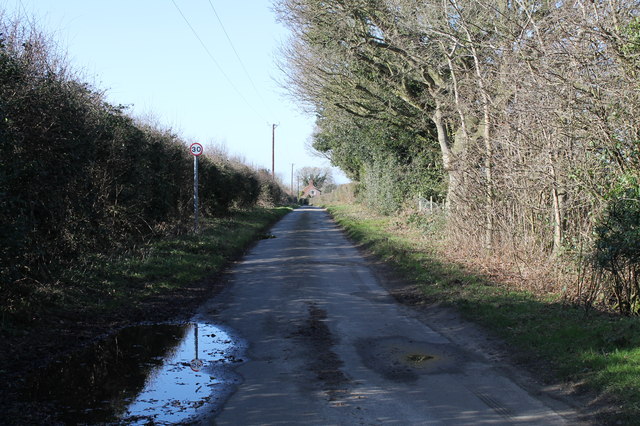
Little Wood is a small forest located in the county of Norfolk, in the east of England. This woodland area is situated near the village of Wood, and covers an approximate area of 50 acres. Little Wood is characterized by its dense vegetation, consisting mainly of various species of deciduous trees, such as oak, beech, and birch.
The forest is a picturesque destination, attracting nature enthusiasts and walkers throughout the year. Its well-maintained footpaths and trails provide visitors with the opportunity to explore the natural beauty of the area. The woodland is also home to a diverse range of wildlife, including deer, foxes, rabbits, and a variety of bird species.
Little Wood offers a peaceful and tranquil environment, making it an ideal spot for relaxation and escapism. The forest is known for its vibrant display of colors during the autumn season when the leaves change to hues of orange, red, and gold. This natural spectacle draws visitors who come to witness the breathtaking scenery and capture memorable photographs.
The woodland is also of historical importance, with evidence of human activity dating back centuries. Archaeological surveys have identified remnants of Iron Age settlements in the vicinity, highlighting the long-standing connection between humans and this natural landscape.
Little Wood is managed and protected by the local authorities, ensuring the preservation of its biodiversity and natural habitat. As a result, it has become a cherished and respected natural asset within the Norfolk community, providing a haven for both wildlife and humans alike.
If you have any feedback on the listing, please let us know in the comments section below.
Little Wood Images
Images are sourced within 2km of 52.84508/0.97837064 or Grid Reference TG0031. Thanks to Geograph Open Source API. All images are credited.


Little Wood is located at Grid Ref: TG0031 (Lat: 52.84508, Lng: 0.97837064)
Administrative County: Norfolk
District: North Norfolk
Police Authority: Norfolk
What 3 Words
///skippers.helpfully.retrain. Near Briston, Norfolk
Nearby Locations
Related Wikis

Swanton Novers Woods
Swanton Novers Woods is an 83-hectare (210-acre) biological Site of Special Scientific Interest east of Fakenham in Norfolk. The site is composed of Swanton...

Fulmodeston
Fulmodeston or Fulmodeston-cum-Croxton is a village and civil parish in the English county of Norfolk. The village is located 4 miles (6.4 km) south-east...

Swanton Novers
Swanton Novers is a village and a civil parish in the English county of Norfolk. The village is 15.1 miles (24.3 km) west-south-west of Cromer, 23.1 miles...
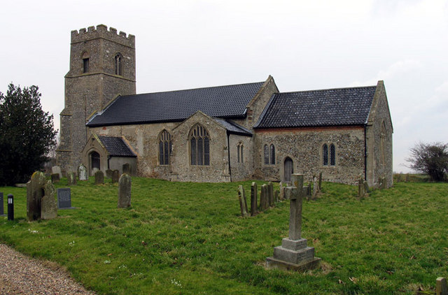
Barney, Norfolk
Barney is a village and former civil parish, now in the parish of Fulmodeston, in the North Norfolk district, in the county of Norfolk, England. Settled...
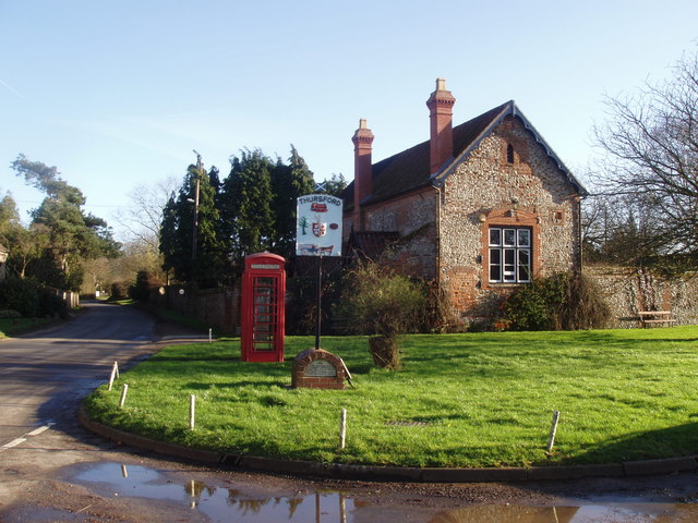
Thursford
Thursford is a village and civil parish in the county of Norfolk, eastern England. The village is 16.3 miles southwest of Cromer, 24.5 miles northwest...

Thursford railway station
Thursford railway station was a station in Norfolk, England on the Midland and Great Northern Joint Railway line between Melton Constable and South Lynn...

Thursford Wood
Thursford Wood is a 10-hectare (25-acre) nature reserve north-east of Fakenham in Norfolk. It is managed by the Norfolk Wildlife Trust.The oak trees in...
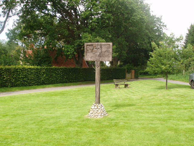
Gunthorpe, Norfolk
Gunthorpe is a village and a civil parish in the English county of Norfolk. The village is 8.6 miles east north east of the town of Fakenham, 14.9 miles...
Nearby Amenities
Located within 500m of 52.84508,0.97837064Have you been to Little Wood?
Leave your review of Little Wood below (or comments, questions and feedback).