Man Wood
Wood, Forest in Essex Colchester
England
Man Wood
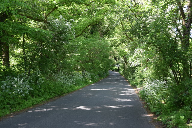
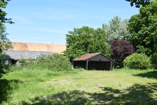
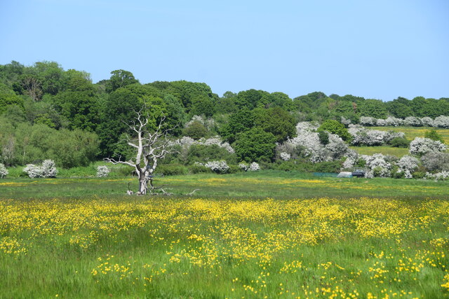
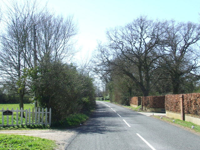
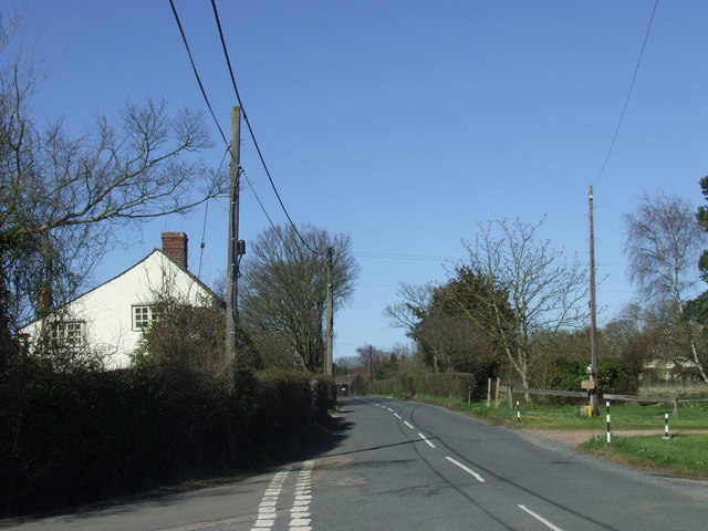
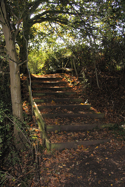
Man Wood is a small wooded area located in Essex, England. Situated in the Forest of Essex, the wood is known for its natural beauty and tranquil atmosphere. Covering an area of approximately 50 acres, Man Wood is predominantly comprised of deciduous trees, including oak, beech, and birch.
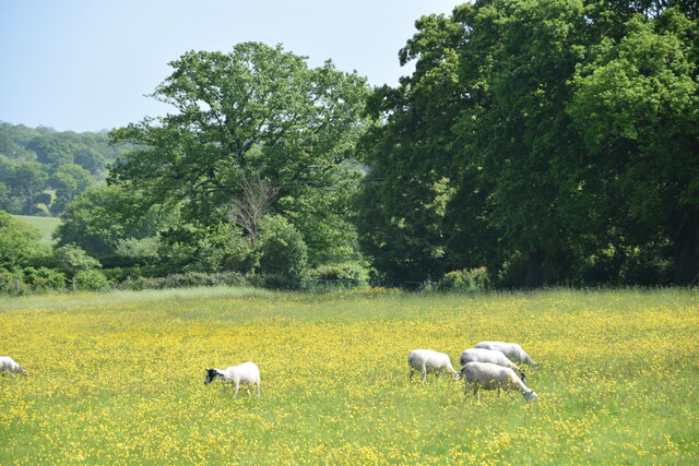
The wood is rich in biodiversity and provides a habitat for a variety of flora and fauna. Bluebells, primroses, and wild garlic are common sights during the spring, creating a vibrant carpet of color. The wood is also home to a diverse range of bird species, including woodpeckers, nightingales, and various species of owls.
Man Wood has a long history, dating back to medieval times. It was once part of the extensive forest that covered much of Essex and played a significant role in providing timber for construction and fuel. Today, the wood is managed by local authorities to ensure its preservation and protection.
The wood is a popular destination for nature lovers and hikers alike, offering numerous walking trails and paths that wind through the trees. It provides a peaceful retreat from the hustle and bustle of urban life, allowing visitors to immerse themselves in the natural beauty of the surrounding landscape.
Access to Man Wood is free, and there are several designated parking areas nearby. Visitors are encouraged to follow the marked trails and adhere to any signage or guidelines to ensure the preservation of the wood and its inhabitants.
If you have any feedback on the listing, please let us know in the comments section below.
Man Wood Images
Images are sourced within 2km of 51.843939/0.91541078 or Grid Reference TM0020. Thanks to Geograph Open Source API. All images are credited.
Man Wood is located at Grid Ref: TM0020 (Lat: 51.843939, Lng: 0.91541078)
Administrative County: Essex
District: Colchester
Police Authority: Essex
What 3 Words
///rugs.warns.owners. Near Rowhedge, Essex
Nearby Locations
Related Wikis
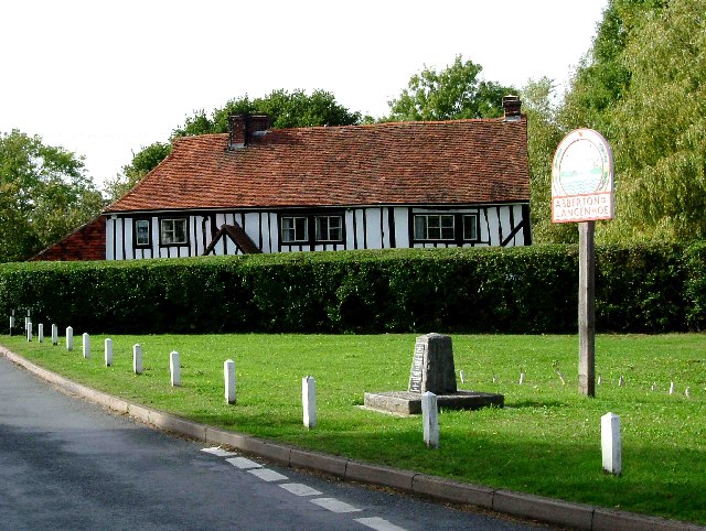
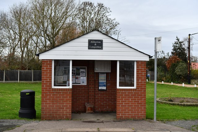
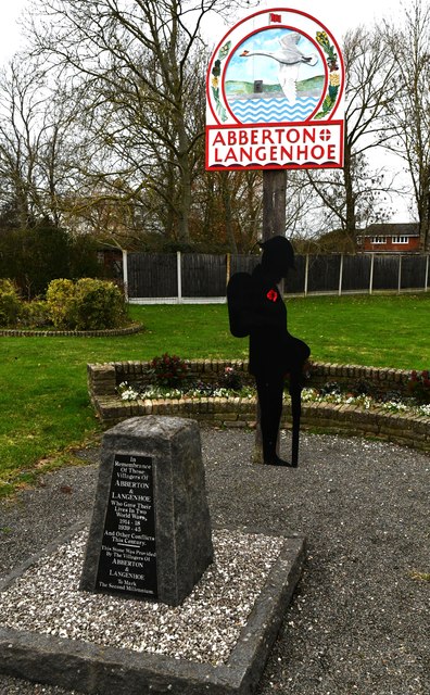
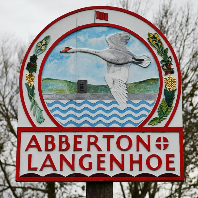
Abberton, Essex
Abberton is a village in the City of Colchester district of Essex, England. It is located approximately 0.62 mi (1.00 km) east of Abberton Reservoir and...

Roman River SSSI
Roman River is a 275.6-hectare (681-acre) biological Site of Special Scientific Interest (SSSI) south of Colchester in Essex. Two areas, Friday Wood and...
Langenhoe
Langenhoe is a village in the City of Colchester district of Essex, England, located south of Colchester. According to the 2001 census it had a population...

Berechurch
Berechurch is an suburb of Colchester in Essex, England. Berechurch was formerly a separate civil parish. In 1891 the parish had a population of 167. On...
Fingringhoe
Fingringhoe is a village and civil parish in the City of Colchester district of Essex, England. The centre of the village is classified as a conservation...

Donyland Lodge
Donyland Lodge was an independent school in Rowhedge, Colchester in the United Kingdom The school catered for children with complex behavioural, social...
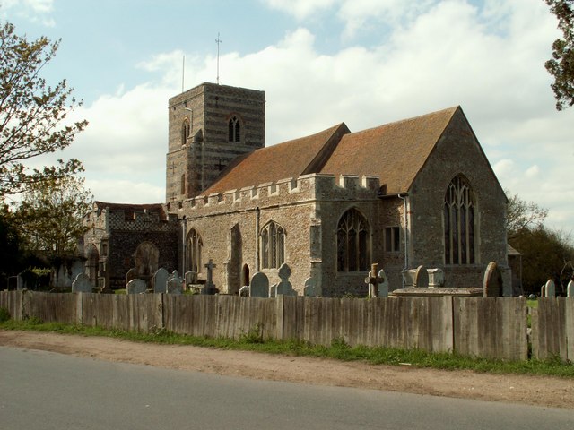
St Michael's Church, Berechurch
St Michael's Church is a redundant Anglican church in the village of Berechurch, Essex, England. It is recorded in the National Heritage List for England...
East Donyland
East Donyland is a civil parish in the City of Colchester district of Essex, England. The civil parish includes the village of Rowhedge. The parish touches...
Nearby Amenities
Located within 500m of 51.843939,0.91541078Have you been to Man Wood?
Leave your review of Man Wood below (or comments, questions and feedback).