Alder Carr

Wood, Forest in Norfolk Breckland

England

Alder Carr

Derelict Garden Centre
Derelict Garden Centre Credit: P Gaskell

Alder Carr, located in Norfolk, England, is a picturesque woodland area known for its rich biodiversity and serene natural beauty. This ancient forest, also referred to as a carr, is predominantly composed of alder trees, which thrive in the wetland conditions found in this region.

The woodland covers a vast area and is a haven for numerous plant and animal species. The dense tree canopy provides an ideal habitat for a variety of bird species, including woodpeckers, warblers, and owls, making it a popular spot for birdwatchers. Additionally, the forest is home to several mammal species, such as deer, badgers, and foxes, which can often be spotted roaming through the undergrowth.

One of the key features of Alder Carr is the presence of several small streams and ponds, which are fed by natural springs and rainwater. These water bodies attract a diverse range of aquatic plants and animals, including dragonflies, frogs, and water lilies. The tranquil ambiance created by the babbling brooks and the rustling leaves makes Alder Carr a peaceful retreat for visitors seeking solace in nature.

The forest also offers various recreational activities, such as hiking and nature trails, allowing visitors to explore the woodlands at their own pace and immerse themselves in the enchanting surroundings. The management of the forest is focused on preserving its natural ecosystem, with efforts to maintain the delicate balance between human activities and the protection of the woodland's biodiversity.

Alder Carr is a true natural gem, where visitors can experience the wonders of an ancient forest, witness the harmony of diverse ecosystems, and find respite from the hustle and bustle of everyday life.

If you have any feedback on the listing, please let us know in the comments section below.
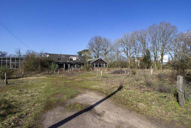
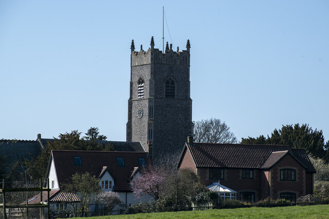
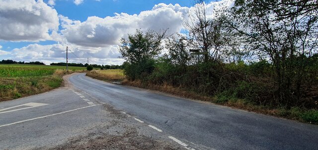
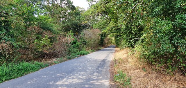
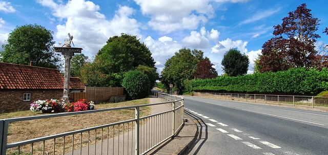
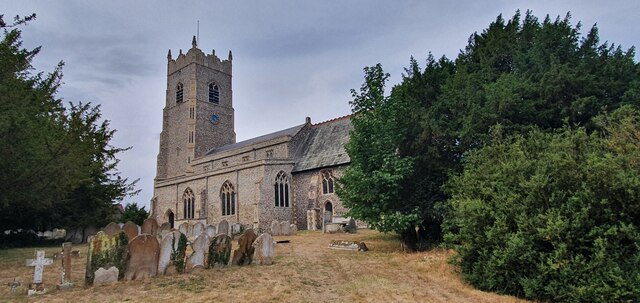
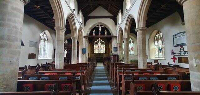
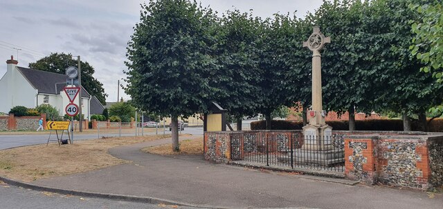
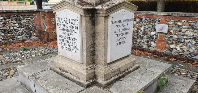
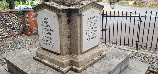
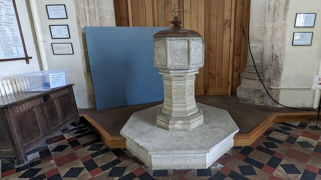
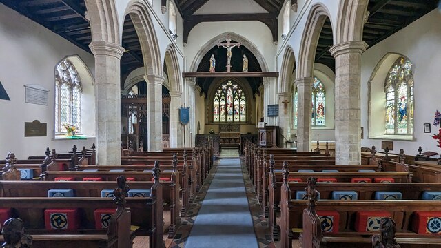
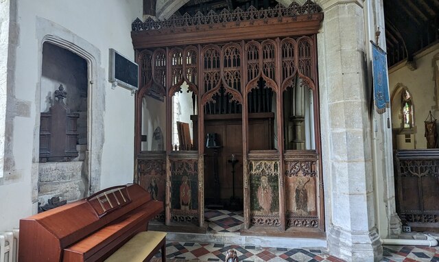
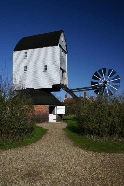
Alder Carr Images

Images are sourced within 2km of 52.378481/0.94463487 or Grid Reference TM0079. Thanks to Geograph Open Source API. All images are credited.

Derelict Garden Centre
Garboldisham Church
Garboldisham Church
Road junction on Common Road
Common Road alongside Fir Covert
Garboldisham village sign on Thetford Road
St John the Baptist church, Garboldisham
Interior of St John the Baptist church, Garboldisham
Stained glass war memorial in Garboldisham church Dedicated to Major George Frederick Molyneux-Montgomerie, killed in France, 22nd October 1915
Stained glass war memorial in Garboldisham church
Dedicated to Major George Frederick Molyneux-Montgomerie, killed in France, 22nd October 1915
War memorial inside Garboldisham church
War memorial for Arthur Lewis Kennaway inside Garboldisham church Died near Suvla Bay, Gallipoli, 21st August 1915
War memorial for Arthur Lewis Kennaway inside Garboldisham church
Died near Suvla Bay, Gallipoli, 21st August 1915
War memorial for Arthur Clare Atkins inside Garboldisham church Died on the HMS Indefatigable in the Battle of Jutland, 31st May 1916.
War memorial for Arthur Clare Atkins inside Garboldisham church
Died on the HMS Indefatigable in the Battle of Jutland, 31st May 1916.
WW2 memorial font inside Garboldisham church Restored in thanksgiving for the safe return of all parishioners from WW2.
WW2 memorial font inside Garboldisham church
Restored in thanksgiving for the safe return of all parishioners from WW2.
Garboldisham war memorial
Names of the fallen on the Garboldisham war memorial 1
Names of the fallen on the Garboldisham war memorial 2
Font at Church of St. John The Baptist, Garboldisham <span class="nowrap"><a title="https://historicengland.org.uk/listing/the-list/list-entry/1306996?section=official-list-entry" rel="nofollow ugc noopener" href="https://historicengland.org.uk/listing/the-list/list-entry/1306996?section=official-list-entry">Link</a><img style="margin-left:2px;" alt="External link" title="External link - shift click to open in new window" src="https://s1.geograph.org.uk/img/external.png" width="10" height="10"/></span>
Font at Church of St. John The Baptist, Garboldisham
Interior of Church of St. John The Baptist, Garboldisham <span class="nowrap"><a title="https://historicengland.org.uk/listing/the-list/list-entry/1306996?section=official-list-entry" rel="nofollow ugc noopener" href="https://historicengland.org.uk/listing/the-list/list-entry/1306996?section=official-list-entry">Link</a><img style="margin-left:2px;" alt="External link" title="External link - shift click to open in new window" src="https://s1.geograph.org.uk/img/external.png" width="10" height="10"/></span>
Interior of Church of St. John The Baptist, Garboldisham
Chapel Screen at Church of St. John The Baptist, Garboldisham <span class="nowrap"><a title="https://historicengland.org.uk/listing/the-list/list-entry/1306996?section=official-list-entry" rel="nofollow ugc noopener" href="https://historicengland.org.uk/listing/the-list/list-entry/1306996?section=official-list-entry">Link</a><img style="margin-left:2px;" alt="External link" title="External link - shift click to open in new window" src="https://s1.geograph.org.uk/img/external.png" width="10" height="10"/></span>
Chapel Screen at Church of St. John The Baptist, Garboldisham
Show me another place!

Alder Carr is located at Grid Ref: TM0079 (Lat: 52.378481, Lng: 0.94463487)

Administrative County: Norfolk

District: Breckland

Police Authority: Norfolk

What 3 Words

///pats.generally.stowing. Near Rickinghall, Suffolk

Related Wikis

Nearby Amenities

Located within 500m of 52.378481,0.94463487
Power: pole
Lat/Long: 52.3801625/0.9497917
Power: pole
Lat/Long: 52.3809222/0.9505776
Power: pole
Lat/Long: 52.3791474/0.9482869
Power: pole
Lat/Long: 52.3768354/0.9462538
Power: pole
Lat/Long: 52.3757793/0.9451568
Power: pole
Lat/Long: 52.374823/0.944092
The data included in this document is from www.openstreetmap.org. The data is made available under ODbL.

Have you been to Alder Carr?

Leave your review of Alder Carr below (or comments, questions and feedback).