Tile Lodge Wood
Wood, Forest in Kent Ashford
England
Tile Lodge Wood

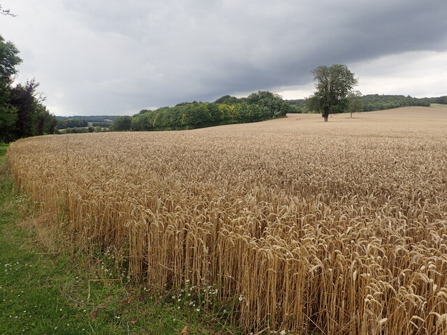
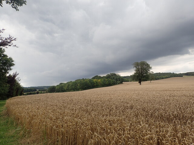
Tile Lodge Wood is a beautiful woodland located in the county of Kent, England. Covering an area of approximately 40 hectares, this forest is a haven for nature lovers and offers a peaceful escape from the hustle and bustle of everyday life.
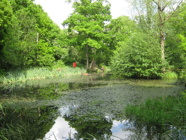
The wood is primarily composed of broadleaf trees such as oak, beech, and birch, creating a diverse and vibrant ecosystem. These trees provide a dense canopy that filters sunlight, casting dappled shadows on the forest floor below. In spring, the woodland comes alive with a burst of color as bluebells and wildflowers carpet the ground.
The area is home to a variety of wildlife, making it a perfect spot for birdwatching and animal spotting. Visitors may be fortunate enough to catch a glimpse of deer, foxes, rabbits, and a wide range of bird species, including woodpeckers and owls.
A network of well-maintained footpaths winds through the woodland, offering visitors the opportunity to explore its natural beauty at their own pace. The paths lead to hidden gems such as a tranquil pond and a picturesque stream, enhancing the enchanting atmosphere of the wood.
Tile Lodge Wood is a popular destination for outdoor enthusiasts, offering activities such as walking, hiking, and nature photography. It also provides educational opportunities for schools and groups interested in learning more about the local flora and fauna.
With its serene ambiance and rich biodiversity, Tile Lodge Wood is a true gem in the Kent countryside, inviting visitors to immerse themselves in the wonders of nature. Whether one seeks tranquility, adventure, or simply a connection with the natural world, this woodland offers an unforgettable experience.
If you have any feedback on the listing, please let us know in the comments section below.
Tile Lodge Wood Images
Images are sourced within 2km of 51.1772/0.86739311 or Grid Reference TR0045. Thanks to Geograph Open Source API. All images are credited.


Tile Lodge Wood is located at Grid Ref: TR0045 (Lat: 51.1772, Lng: 0.86739311)
Administrative County: Kent
District: Ashford
Police Authority: Kent
What 3 Words
///woods.hoops.fussy. Near Kennington, Kent
Nearby Locations
Related Wikis

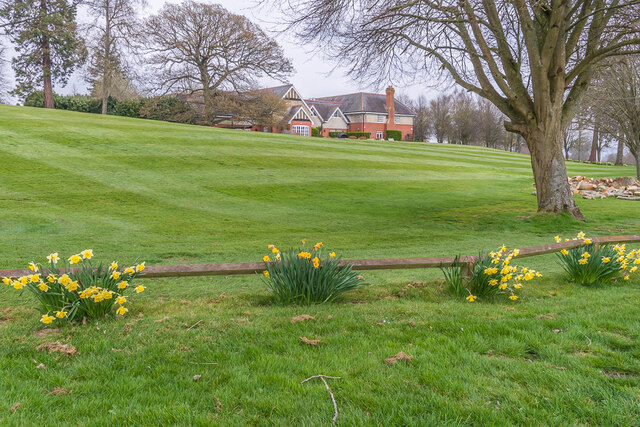
Grosvenor Hall (estate)
Grosvenor Hall is an estate in Kennington, Ashford, Kent. At first a sanitorium, it was repurposed as a training site for police recruits and called the...
The Towers School
The Towers School and Sixth Form Centre is a secondary school (Academy) in Ashford, Kent. The school was first established in 1967 and was named after...

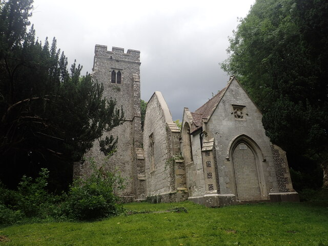
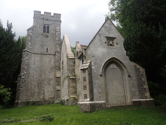
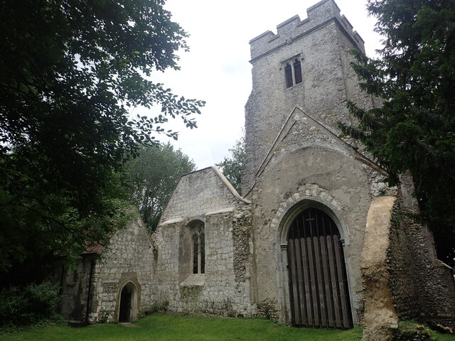
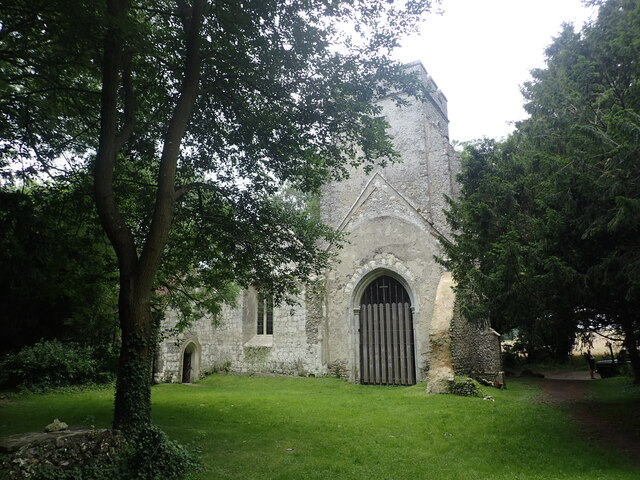
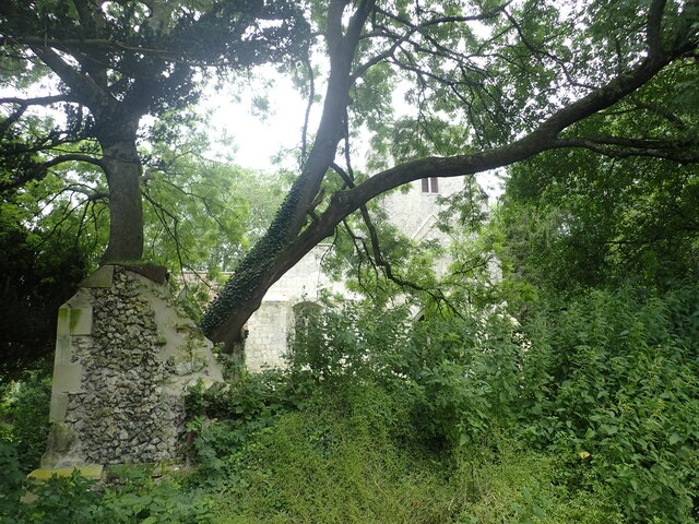
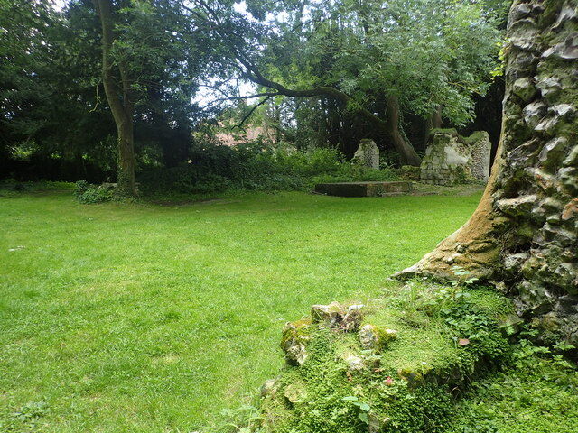
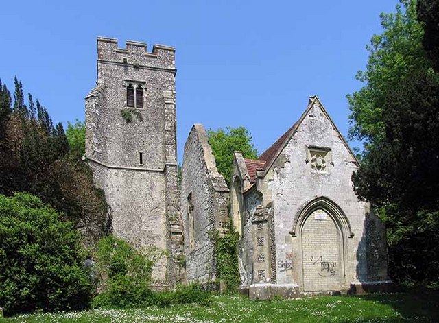
St Mary's Church, Eastwell
St Mary's Church is a ruined former Church of England parish church, in the grounds of Eastwell Park in the hamlet of Eastwell, Kent, England. It is recorded...
Eastwell, Kent
Eastwell is a hamlet and civil parish about 3 miles (5 km) north of Ashford, Kent, England. The 2011 Census recorded the parish's population as 103.The...
Ashford Warren and Hoads Wood
Ashford Warren and Hoads Wood is a 34.5-hectare (85-acre) nature reserve north of Ashford in Kent. It is owned by Ashford Borough Council and managed...

Saint Christopher's Church, Boughton Lees
Saint Christopher's Church is a mediaeval Grade II listed church in Boughton Lees near Ashford, Kent, part of the Church of England.The building was originally...

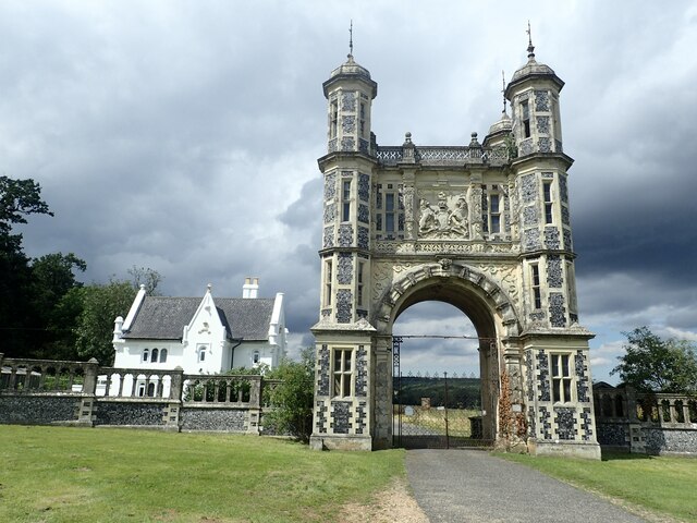
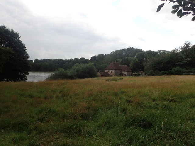
Eastwell Park
Eastwell Park is a large area of parkland and a country estate in the civil parish of Eastwell, adjoining Ashford, Kent, in England. It was owned by the...
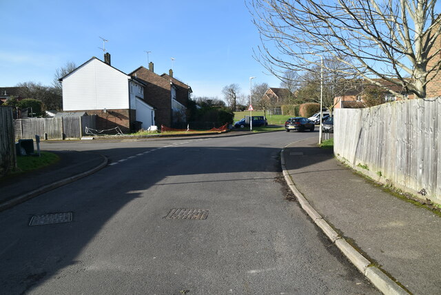
Kennington, Kent
Kennington is a suburb of Ashford and civil parish in Kent, England. It is about a mile northeast of the town centre and north of the M20 motorway, and...
Nearby Amenities
Located within 500m of 51.1772,0.86739311Have you been to Tile Lodge Wood?
Leave your review of Tile Lodge Wood below (or comments, questions and feedback).