Alders
Wood, Forest in Kent Ashford
England
Alders
Alders in Kent is a small village nestled within the picturesque Wood, Forest area. Located in the southeastern part of England, Alders is known for its natural beauty and tranquil surroundings. The village is surrounded by dense woodlands, giving it a serene and idyllic atmosphere.
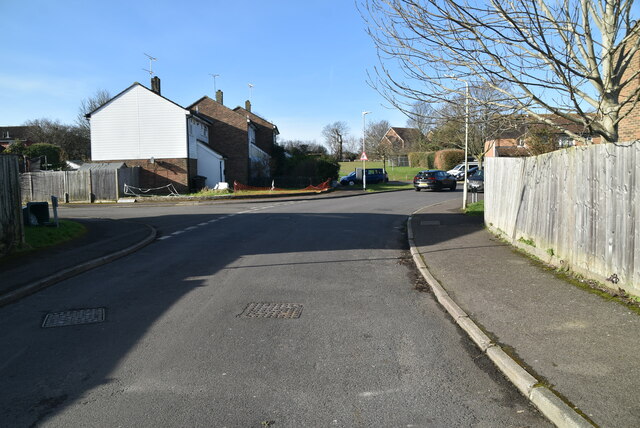
The village itself is home to a tight-knit community, with a population of around 500 residents. The residents of Alders take immense pride in their village and actively participate in maintaining its charm and character. The architecture in Alders is predominantly traditional, with charming cottages and houses lining the village streets.
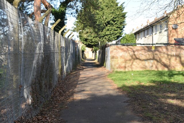
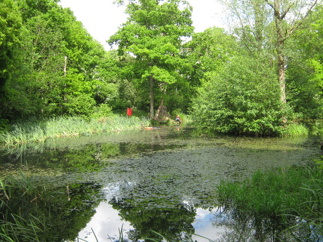
Nature enthusiasts will find plenty to explore in Alders. The village is surrounded by vast woodlands, making it an ideal destination for hiking, walking, and wildlife spotting. The nearby Forest area is rich in biodiversity, with a wide variety of flora and fauna to discover.
Despite its rural setting, Alders is conveniently located near several amenities. The village has a small convenience store where residents can purchase everyday essentials. For more extensive shopping trips, the nearby town of Kent offers a range of supermarkets, shops, and services.
Alders is well-connected to the rest of Kent by road. The village is situated near major highways, allowing for easy transportation to nearby towns and cities. The closest train station is a short drive away, providing access to further destinations throughout the country.
Overall, Alders in Kent offers a tranquil escape from the hustle and bustle of city life, making it an ideal destination for nature lovers and those seeking a peaceful community atmosphere.
If you have any feedback on the listing, please let us know in the comments section below.
Alders Images
Images are sourced within 2km of 51.173474/0.8630555 or Grid Reference TR0045. Thanks to Geograph Open Source API. All images are credited.


Alders is located at Grid Ref: TR0045 (Lat: 51.173474, Lng: 0.8630555)
Administrative County: Kent
District: Ashford
Police Authority: Kent
What 3 Words
///multiple.avid.cowering. Near Kennington, Kent
Nearby Locations
Related Wikis

Grosvenor Hall (estate)
Grosvenor Hall is an estate in Kennington, Ashford, Kent. At first a sanitorium, it was repurposed as a training site for police recruits and called the...
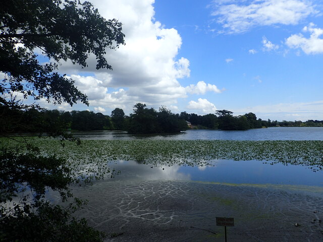
Ashford Warren and Hoads Wood
Ashford Warren and Hoads Wood is a 34.5-hectare (85-acre) nature reserve north of Ashford in Kent. It is owned by Ashford Borough Council and managed...
The Towers School
The Towers School and Sixth Form Centre is a secondary school (Academy) in Ashford, Kent. The school was first established in 1967 and was named after...

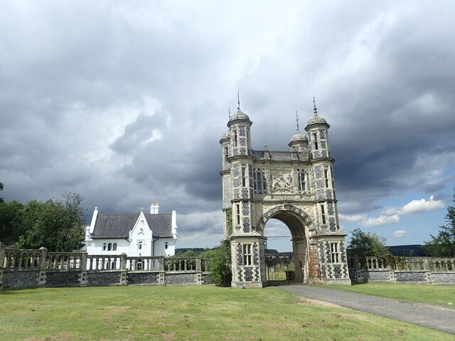
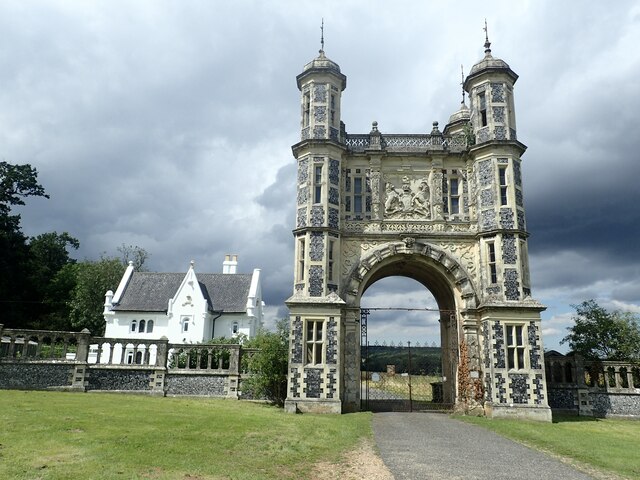
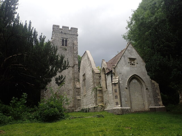
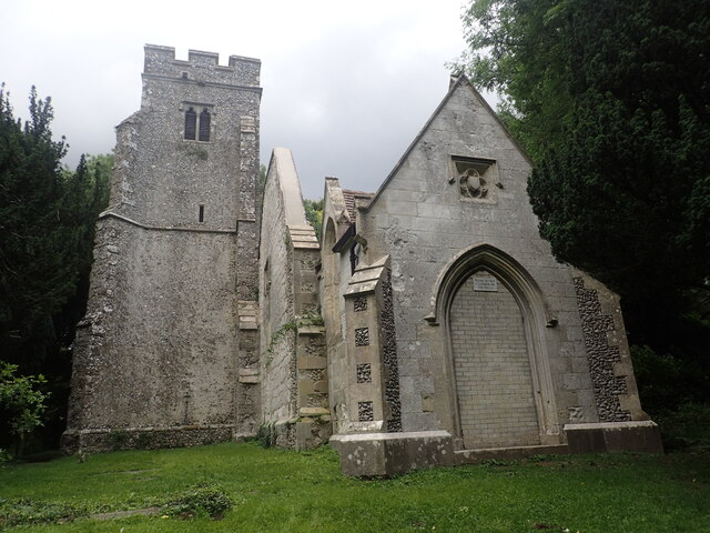
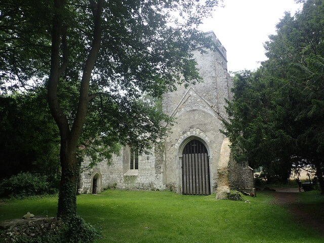
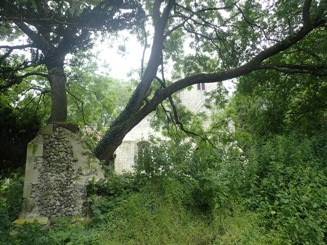
St Mary's Church, Eastwell
St Mary's Church is a ruined former Church of England parish church, in the grounds of Eastwell Park in the hamlet of Eastwell, Kent, England. It is recorded...
Kennington, Kent
Kennington is a suburb of Ashford and civil parish in Kent, England. It is about a mile northeast of the town centre and north of the M20 motorway, and...

Highworth Grammar School for Girls
Highworth Grammar School is a selective secondary school (grammar school) in Ashford, Kent. The school also admits boys to the sixth form. At an Ofsted...

Westwell, Kent
Westwell is a village and relatively elevated civil parish with a population of 740 (2001), centred 4 miles (6 km) north of Ashford in Kent, England, in...

Hothfield railway station
Hothfield railway station (later Hothfield Halt) was a railway station on the Maidstone Line at Hothfield, Kent. It was situated between Ashford and Charing...
Nearby Amenities
Located within 500m of 51.173474,0.8630555Have you been to Alders?
Leave your review of Alders below (or comments, questions and feedback).