Mark Wood

Wood, Forest in Suffolk Babergh

England

Mark Wood

Polstead church
Polstead church Credit: mym

Mark Wood is a dense forest located in the county of Suffolk, England. Stretching over an area of approximately 500 hectares, it is renowned for its natural beauty and diverse wildlife. The forest is part of the larger Thetford Forest, which is one of the largest man-made forests in the United Kingdom.

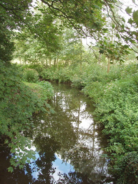
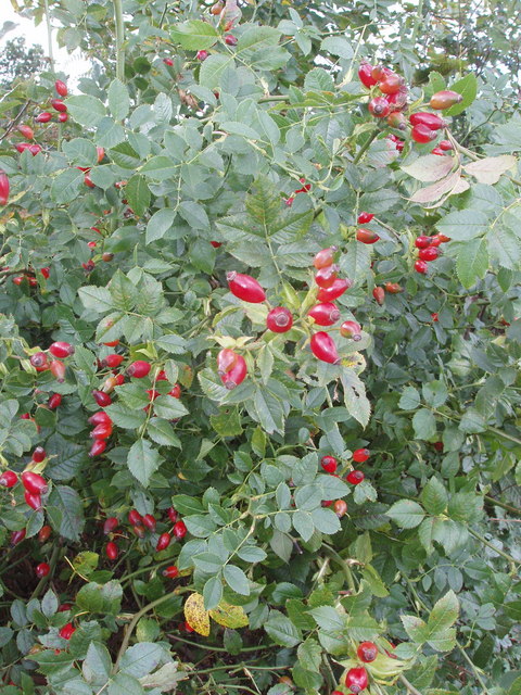
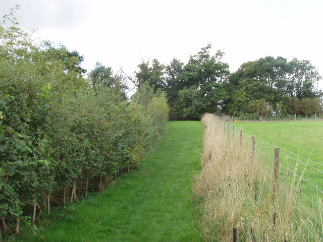
Mark Wood is characterized by its thick woodland, consisting mainly of native broadleaf trees such as oak, beech, and birch. The forest floor is covered with a rich carpet of ferns, mosses, and wildflowers, creating a picturesque landscape. The wood is crisscrossed by numerous walking trails, allowing visitors to explore its enchanting surroundings and experience the tranquility of the natural environment.

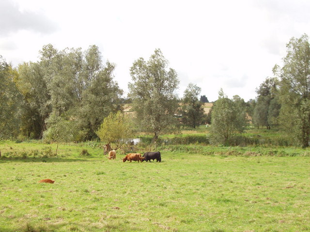
The forest is home to a wide array of wildlife, including various bird species, mammals, and insects. Birdwatchers can spot species such as woodpeckers, nightjars, and warblers, while lucky visitors might catch a glimpse of deer, foxes, or rabbits. The forest is also known for its population of butterflies, particularly in the summer months when the wildflowers are in full bloom.

Mark Wood offers recreational activities for visitors, including picnic areas and designated spots for camping and barbecues. The forest is a popular destination for hikers, nature enthusiasts, and families looking to enjoy the great outdoors. It provides a peaceful escape from the hustle and bustle of urban life, offering opportunities for relaxation and connecting with nature.

Overall, Mark Wood, Suffolk, is a scenic and biodiverse forest that provides a haven for wildlife and a serene environment for those seeking a respite in nature.

If you have any feedback on the listing, please let us know in the comments section below.
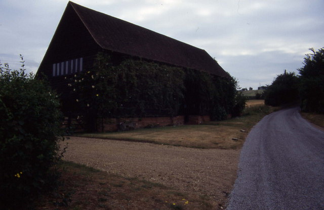
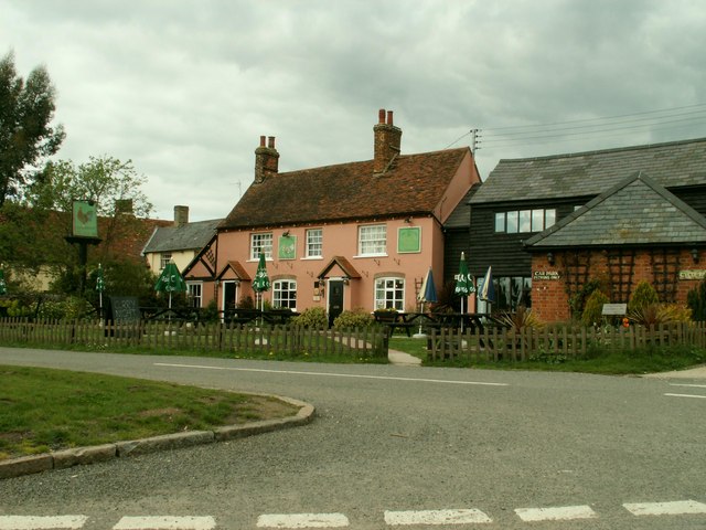
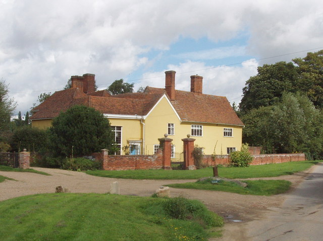
Mark Wood Images

Images are sourced within 2km of 52.001519/0.91999121 or Grid Reference TM0037. Thanks to Geograph Open Source API. All images are credited.

Polstead church
Polstead church
Narrow lane in Mill Street This shows a converted mill in the aptly named community of Mill Street
Narrow lane in Mill Street
This shows a converted mill in the aptly named community of Mill Street
Polstead It is 10 years since I took this photograph.  I remember standing on the village green, and there was an inn close to this village sign
Polstead
It is 10 years since I took this photograph. I remember standing on the village green, and there was an inn close to this village sign
Southern aspect from Bell's Corner Looks over a field towards some woods. These fall down into the Box Valley, with the distinctive landmark of Stoke-by-Nayland church in the distance on the opposite side
Southern aspect from Bell's Corner
Looks over a field towards some woods. These fall down into the Box Valley, with the distinctive landmark of Stoke-by-Nayland church in the distance on the opposite side
Converted barn, Scotland Street This is one of those Suffolk Black Barns - this one converted into a home.
Converted barn, Scotland Street
This is one of those Suffolk Black Barns - this one converted into a home.
'The Cock Inn', Polstead, Suffolk
Roadside unattended jam stall, Stoke by Nayland Do retail outlets get any smaller? Outside a house in the narrow lane of Scotland Street, Stoke by Nayland, were two chairs holding homemade jam and chutney. We put our £2 in the honesty box for a jar of chutney, and found it excellent. The labels from "Jam Today!" gave us an email address and phone number for ordering more.
Roadside unattended jam stall, Stoke by Nayland
Do retail outlets get any smaller? Outside a house in the narrow lane of Scotland Street, Stoke by Nayland, were two chairs holding homemade jam and chutney. We put our £2 in the honesty box for a jar of chutney, and found it excellent. The labels from "Jam Today!" gave us an email address and phone number for ordering more.
Scotland Place, Stoke by Nayland View from Scotland Street
Scotland Place, Stoke by Nayland
View from Scotland Street
River Box, Stoke by Nayland View from Scotland Street bridge.
River Box, Stoke by Nayland
View from Scotland Street bridge.
Beware of the bull - by the River Box Where the public footpath left Scotland Street, near Stoke by Nayland, was a notice. "Beware of the bull - it's the black one. The cows are placid, but you can divert from the footpath if you prefer to avoid them."
Beware of the bull - by the River Box
Where the public footpath left Scotland Street, near Stoke by Nayland, was a notice. "Beware of the bull - it's the black one. The cows are placid, but you can divert from the footpath if you prefer to avoid them."
Rosehips in hedge, near Polstead
Footpath and hedges, Polstead The path has been fenced off from the field. Young trees have been planted along the fence, and will eventually form a hedge. The hedge on the left includes wild roses, their fruit shown in <a href="https://www.geograph.org.uk/photo/233804">TL9937 : Rosehips in hedge, near Polstead</a>. The tree at the end of the footpath is a sweet chestnut.
Footpath and hedges, Polstead
The path has been fenced off from the field. Young trees have been planted along the fence, and will eventually form a hedge. The hedge on the left includes wild roses, their fruit shown in TL9937 : Rosehips in hedge, near Polstead. The tree at the end of the footpath is a sweet chestnut.
Polstead Church, distant view with fields and trees The church is outside the village, in Polstead Park. This view is from the hill above Bell's Corner.
Polstead Church, distant view with fields and trees
The church is outside the village, in Polstead Park. This view is from the hill above Bell's Corner.
Bell's Corner and Polstead The houses at the bottom of the field are on Marten's Lane, at Bell's Corner. The houses on the skyline beyond are the village of Polstead.
Bell's Corner and Polstead
The houses at the bottom of the field are on Marten's Lane, at Bell's Corner. The houses on the skyline beyond are the village of Polstead.
Polstead Pond View from road junction to Ponds farm. This is a large pond, almost a lake, formed by a dam in the narrow valley.
Polstead Pond
View from road junction to Ponds farm. This is a large pond, almost a lake, formed by a dam in the narrow valley.
Straw bales surround a football pitch, Polstead Straw bales are difficult to dispose of, good use has been made of these to form the boundaries of a football pitch.
Straw bales surround a football pitch, Polstead
Straw bales are difficult to dispose of, good use has been made of these to form the boundaries of a football pitch.
The private road to Valley Farm
Memorial to Maria Marten Memorial to Maria Marten in St Mary's churchyard, Polstead, Suffolk; for more info see <span class="nowrap"><a title="http://en.wikipedia.org/wiki/Red_Barn_Murder" rel="nofollow ugc noopener" href="http://en.wikipedia.org/wiki/Red_Barn_Murder">Link</a><img style="margin-left:2px;" alt="External link" title="External link - shift click to open in new window" src="https://s1.geograph.org.uk/img/external.png" width="10" height="10"/></span> and <a title="https://www.geograph.org.uk/photo/615958" href="https://www.geograph.org.uk/photo/615958">Link</a>
Memorial to Maria Marten
Memorial to Maria Marten in St Mary's churchyard, Polstead, Suffolk; for more info see LinkExternal link and Link
Show me another place!

Mark Wood is located at Grid Ref: TM0037 (Lat: 52.001519, Lng: 0.91999121)

Administrative County: Suffolk

District: Babergh

Police Authority: Suffolk

What 3 Words

///pointed.caressed.trials. Near Hadleigh, Suffolk

Nearby Locations

Mark Wood Long Wood

Related Wikis

Withermarsh Green

Withermarsh Green is a village in the civil parish of Stoke-by-Nayland, in the Babergh district, in the county of Suffolk, England. It is located near...

Giffords Hall, Stoke-by-Nayland

Giffords Hall (also called Gifford's Hall) is a Tudor manor house near Stoke-by-Nayland in Suffolk, England. It was described by Nikolaus Pevsner as “one...
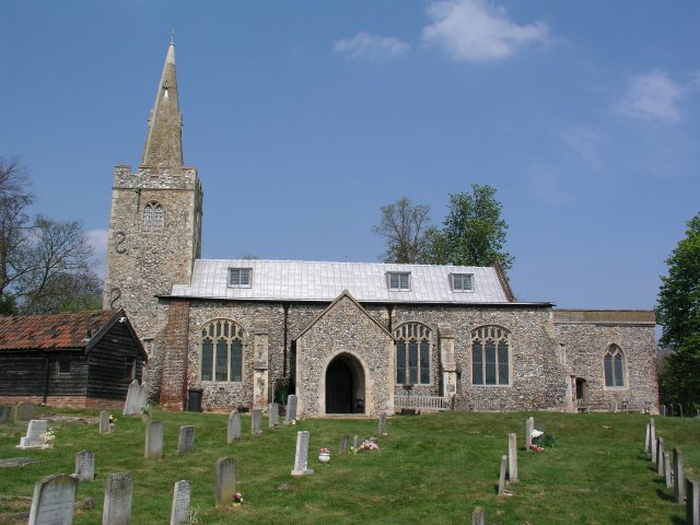
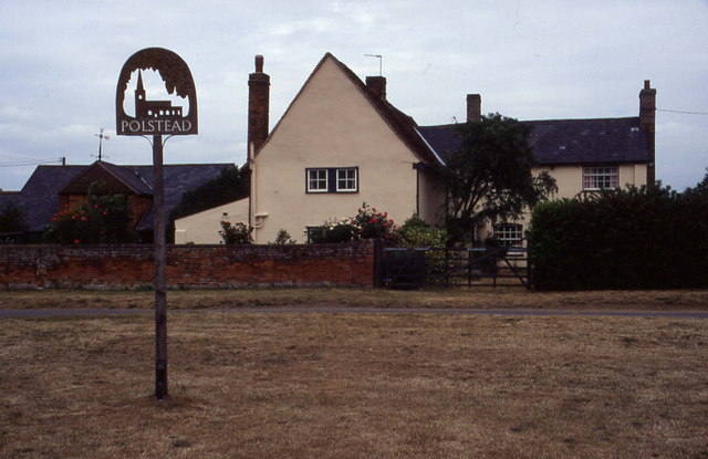
Polstead

Polstead is a village and civil parish in the Babergh district of Suffolk, England. The village lies 3 miles (4.8 km) northeast of Nayland, 5 miles (8...

South Suffolk (UK Parliament constituency)

South Suffolk is a constituency represented in the House of Commons of the UK Parliament since 2015 by James Cartlidge, a Conservative. == History == South...

Gospel Oak, Polstead

The Gospel Oak was a veteran tree in Polstead, Suffolk. The tree is associated with Saint Cedd, who reputedly planted it or preached beneath it. The...

Shelley, Suffolk

Shelley is a small village and civil parish in Suffolk, England. Located on the west bank of the River Brett around three miles south of Hadleigh, it is...

St Mary's Church, Stoke-by-Nayland

St Mary's Church is a Grade I listed parish church in the Church of England in Stoke-by-Nayland. == History == The earliest parts of the church date from...

Stoke-by-Nayland

Stoke-by-Nayland is a village and civil parish in the Babergh district, in the county of Suffolk, England, close to the border with Essex. The parish includes...

Have you been to Mark Wood?

Leave your review of Mark Wood below (or comments, questions and feedback).