Raydon Common
Downs, Moorland in Suffolk West Suffolk
England
Raydon Common
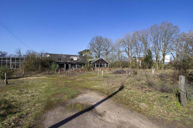
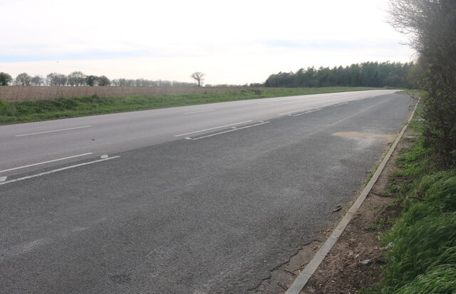
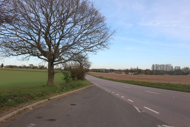
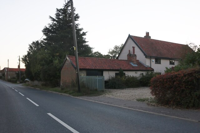
Raydon Common is a remarkable ecological site located in Suffolk, England. Spanning an area of approximately 190 hectares, it offers a diverse range of habitats, including downs and moorland. The common is situated just south of the village of Raydon, and is easily accessible from the nearby towns of Ipswich and Colchester.
The site is characterized by its unique topography, consisting of rolling hills and expansive open spaces. The chalky soil found in the downs supports a rich variety of plant life, including rare species such as the early spider orchid and the pasqueflower. These downs are also home to numerous bird species, such as skylarks, lapwings, and stonechats.
The moorland areas of Raydon Common are equally captivating, with their heathland vegetation and wetland pools. This habitat attracts a range of wildlife, including adders, lizards, and butterflies. The common is particularly renowned for its population of nightjars, which can be observed during the summer months.
Raydon Common is managed by the Suffolk Wildlife Trust, and efforts are made to preserve its ecological importance. Grazing animals, such as cattle and ponies, help to maintain the diverse vegetation of the downs and moorland. The trust also carries out conservation work, such as scrub clearance and the restoration of wetland habitats.
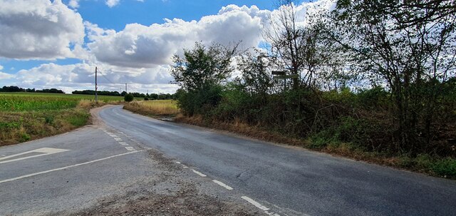
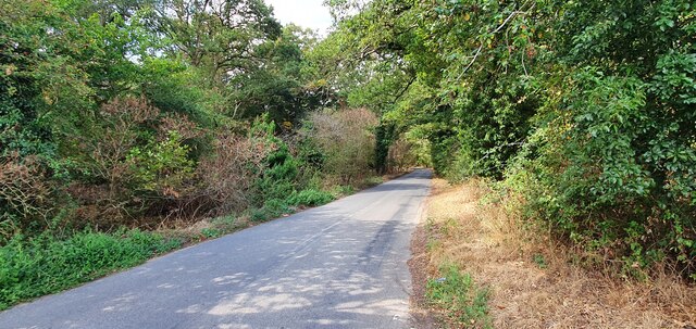
Visitors to Raydon Common can enjoy a network of footpaths and bridleways, which allow for exploration of the stunning landscape. The common offers a tranquil escape from urban life, providing opportunities for walking, picnicking, and wildlife spotting.
If you have any feedback on the listing, please let us know in the comments section below.
Raydon Common Images
Images are sourced within 2km of 52.377636/0.94103709 or Grid Reference TM0079. Thanks to Geograph Open Source API. All images are credited.


Raydon Common is located at Grid Ref: TM0079 (Lat: 52.377636, Lng: 0.94103709)
Administrative County: Suffolk
District: West Suffolk
Police Authority: Suffolk
What 3 Words
///branching.greyhound.pastels. Near Rickinghall, Suffolk
Nearby Locations
Related Wikis

Bugg's Hole Fen, Thelnetham
Bugg's Hole Fen is a 3.7-hectare (9.1-acre) biological Site of Special Scientific Interest north-west of Thelnetham in Suffolk.This calcareous fen in the...
Garboldisham Windmill
Garboldisham Mill is a Grade II* listed post mill at Garboldisham, Norfolk, that has been restored. == History == Although millers were recorded in Garboldisham...

Thelnetham Windmill
Thelnetham Windmill, also known as Button's Mill is a Grade II* listed tower mill constructed of brick. The windmill is located at Thelnetham, Suffolk...

Hopton, Suffolk
Hopton is a village and civil parish in the West Suffolk district of Suffolk in eastern England. Located just south of the Norfolk border on the B1111...

Blo' Norton
Blo' Norton is a village and civil parish in the Breckland district of Norfolk, England, on the River Little Ouse, about 6+1⁄2 miles (10 km) west of Diss...

Hopton Fen
Hopton Fen is a 15.3-hectare (38-acre) biological Site of Special Scientific Interest north of Hopton in Suffolk. It is managed by the Suffolk Wildlife...

Blo' Norton and Thelnetham Fens
Blo' Norton and Thelnetham Fens are a 21.3-hectare (53-acre) biological Site of Special Scientific Interest (SSSI) on the Norfolk/Suffolk border. Blo'...
Thelnetham
Thelnetham is a village and civil parish in the West Suffolk district of Suffolk in eastern England. Located on the southern bank of the River Little Ouse...
Nearby Amenities
Located within 500m of 52.377636,0.94103709Have you been to Raydon Common?
Leave your review of Raydon Common below (or comments, questions and feedback).