Black Shaw
Wood, Forest in Kent Swale
England
Black Shaw
![Belmont House and gardens [3] Stretching for some 200 yards on the east side of the house is this 18th century ha ha. Some 4 feet deep, constructed of yellow brick with two fine sets of wrought iron gates. Listed, grade II, with details at: <span class="nowrap"><a title="https://historicengland.org.uk/listing/the-list/list-entry/1343979" rel="nofollow ugc noopener" href="https://historicengland.org.uk/listing/the-list/list-entry/1343979">Link</a><img style="margin-left:2px;" alt="External link" title="External link - shift click to open in new window" src="https://s1.geograph.org.uk/img/external.png" width="10" height="10"/></span>
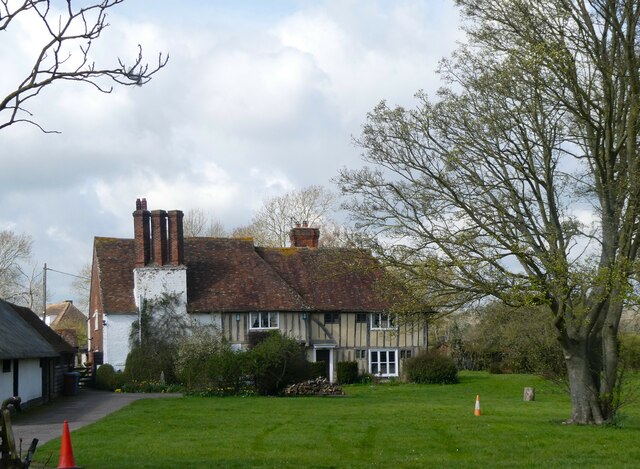
Belmont House and gardens is a small country estate near Faversham. The house, built between 1769 and 1793 is a fine unspoilt example of Georgian architecture. The house was the home of the Harris family for 200 years and is famous for a very extensive collection of clocks acquired by the 5th Lord Harris. The estate extends to some 3,000 acres, of which 14 acres are gardens of renown. The house, stable courtyard and water pump are listed, grade I, with details at: <span class="nowrap"><a title="https://historicengland.org.uk/listing/the-list/list-entry/1343978" rel="nofollow ugc noopener" href="https://historicengland.org.uk/listing/the-list/list-entry/1343978">Link</a><img style="margin-left:2px;" alt="External link" title="External link - shift click to open in new window" src="https://s1.geograph.org.uk/img/external.png" width="10" height="10"/></span> The gardens are on the Register of Historic Parks and Gardens, grade II, with details at:
<span class="nowrap"><a title="https://historicengland.org.uk/listing/the-list/list-entry/1000293" rel="nofollow ugc noopener" href="https://historicengland.org.uk/listing/the-list/list-entry/1000293">Link</a><img style="margin-left:2px;" alt="External link" title="External link - shift click to open in new window" src="https://s1.geograph.org.uk/img/external.png" width="10" height="10"/></span>](https://s2.geograph.org.uk/geophotos/07/07/08/7070854_8ffa020d.jpg)
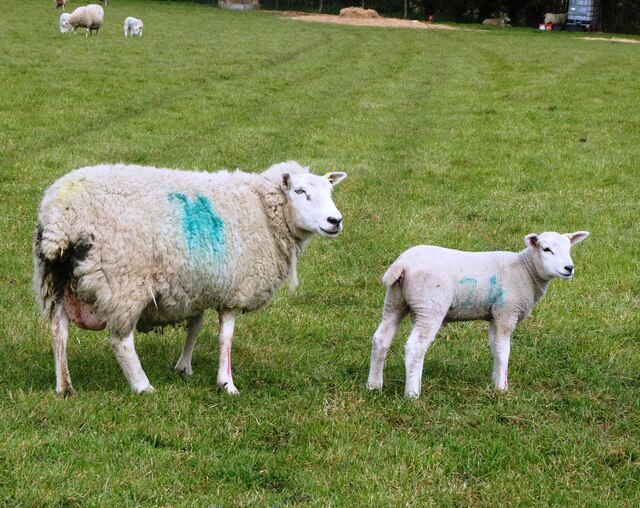
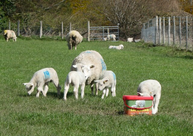
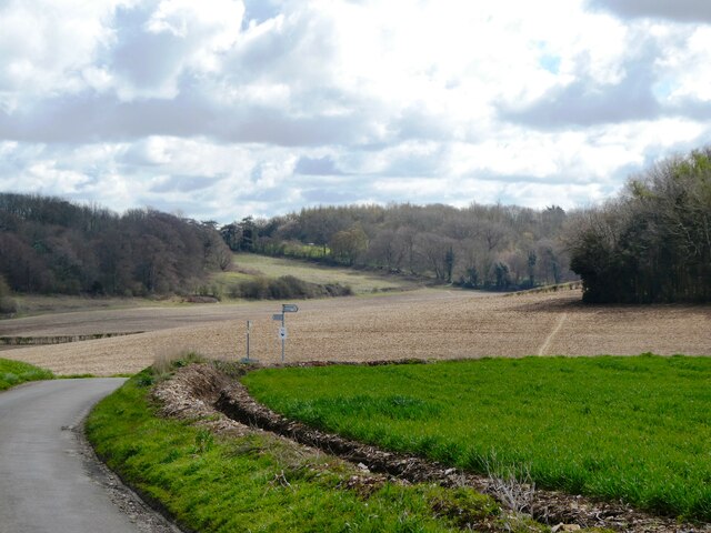
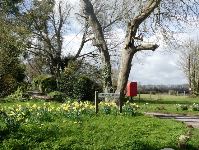
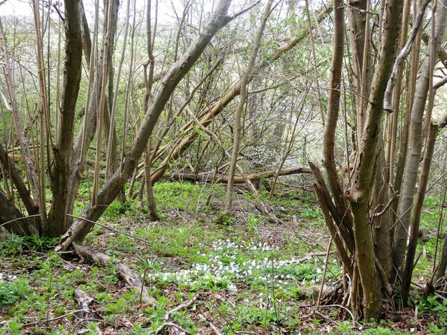
Black Shaw is a small woodland area located in the county of Kent, England. Situated near the village of Wood, the forest encompasses an area of approximately 100 acres. The woodland is known for its dense canopy of mature trees, creating a serene and secluded atmosphere.
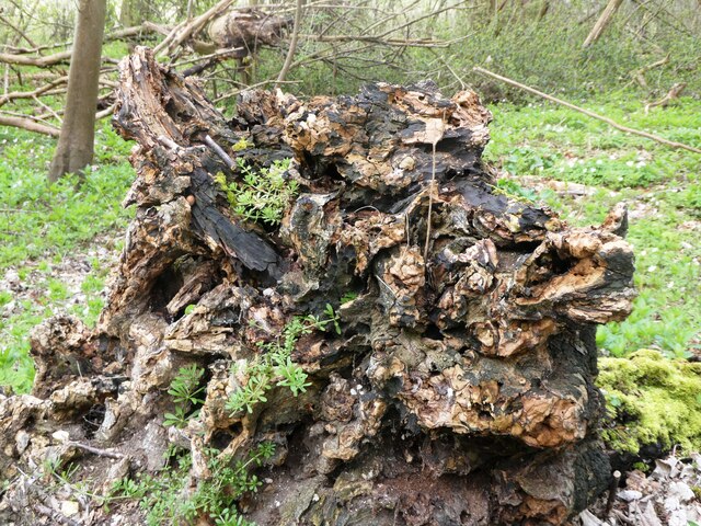
The forest is mainly composed of native tree species such as oak, beech, and ash, which provide a diverse habitat for a wide range of wildlife. The undergrowth consists of ferns, mosses, and various wildflowers, adding to the natural beauty of the area. The forest floor is covered in a thick layer of leaf litter, providing shelter and food for small mammals, insects, and fungi.
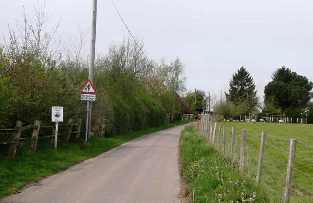
Black Shaw is a popular destination for nature enthusiasts, hikers, and birdwatchers. The woodland offers numerous walking trails, allowing visitors to explore the serene surroundings and enjoy the peaceful ambiance. The forest is home to a variety of bird species, including woodpeckers, owls, and thrushes, making it an ideal spot for birdwatching.
The management of Black Shaw is overseen by the local authorities, who ensure the preservation and conservation of the woodland. The forest is periodically maintained, with selective tree felling and woodland management practices implemented to promote the growth of new trees and maintain a healthy ecosystem.
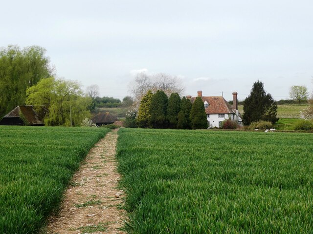
Overall, Black Shaw in Kent is a picturesque woodland area that offers a tranquil escape from the bustling city life. With its diverse flora and fauna, it provides a unique opportunity to reconnect with nature and enjoy the beauty of the English countryside.
If you have any feedback on the listing, please let us know in the comments section below.
Black Shaw Images
Images are sourced within 2km of 51.257874/0.86538881 or Grid Reference TR0054. Thanks to Geograph Open Source API. All images are credited.
![Belmont House and gardens [4] Stretching for some 200 yards on the east side of the house is this 18th century ha ha. Some 4 feet deep, constructed of yellow brick with two fine sets of wrought iron gates. Listed, grade II, with details at: <span class="nowrap"><a title="https://historicengland.org.uk/listing/the-list/list-entry/1343979" rel="nofollow ugc noopener" href="https://historicengland.org.uk/listing/the-list/list-entry/1343979">Link</a><img style="margin-left:2px;" alt="External link" title="External link - shift click to open in new window" src="https://s1.geograph.org.uk/img/external.png" width="10" height="10"/></span>
Belmont House and gardens is a small country estate near Faversham. The house, built between 1769 and 1793 is a fine unspoilt example of Georgian architecture. The house was the home of the Harris family for 200 years and is famous for a very extensive collection of clocks acquired by the 5th Lord Harris. The estate extends to some 3,000 acres, of which 14 acres are gardens of renown. The house, stable courtyard and water pump are listed, grade I, with details at: <span class="nowrap"><a title="https://historicengland.org.uk/listing/the-list/list-entry/1343978" rel="nofollow ugc noopener" href="https://historicengland.org.uk/listing/the-list/list-entry/1343978">Link</a><img style="margin-left:2px;" alt="External link" title="External link - shift click to open in new window" src="https://s1.geograph.org.uk/img/external.png" width="10" height="10"/></span> The gardens are on the Register of Historic Parks and Gardens, grade II, with details at:
<span class="nowrap"><a title="https://historicengland.org.uk/listing/the-list/list-entry/1000293" rel="nofollow ugc noopener" href="https://historicengland.org.uk/listing/the-list/list-entry/1000293">Link</a><img style="margin-left:2px;" alt="External link" title="External link - shift click to open in new window" src="https://s1.geograph.org.uk/img/external.png" width="10" height="10"/></span>](https://s3.geograph.org.uk/geophotos/07/07/08/7070855_fe000f5e.jpg)


Black Shaw is located at Grid Ref: TR0054 (Lat: 51.257874, Lng: 0.86538881)
Administrative County: Kent
District: Swale
Police Authority: Kent
What 3 Words
///unstable.tube.slack. Near Faversham, Kent
Nearby Locations
Related Wikis

Leaveland
Leaveland is a hamlet and civil parish located in the Swale borough of Kent, South East England. In terms of topography, it is described as a "village...

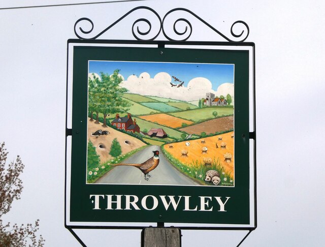
Throwley
Throwley is an English village south of Faversham in the Borough of Swale in Kent. The name is recorded in the Domesday Book as Trevelai, which corresponds...

Throwley Priory
Throwley Priory was an English priory south of Faversham in Kent. == History == At the end of the civil wars of 1139-53, King Stephen's chief lieutenant...

Badlesmere, Kent
Badlesmere is a village and civil parish in the Swale district of Kent, England, about five miles south of Faversham and eight miles north of Ashford on...
Nearby Amenities
Located within 500m of 51.257874,0.86538881Have you been to Black Shaw?
Leave your review of Black Shaw below (or comments, questions and feedback).