Leaveland Wood

Wood, Forest in Kent Swale

England

Leaveland Wood

Sheep and lamb, Throwley Viewed from the road leading to Throwley Forstal.
Sheep and lamb, Throwley Credit: pam fray

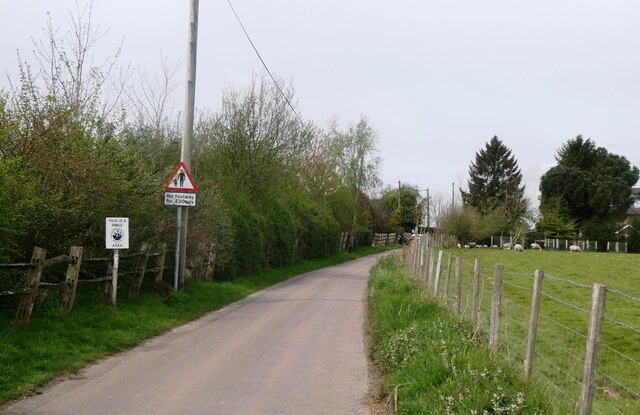
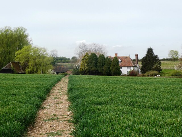
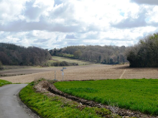
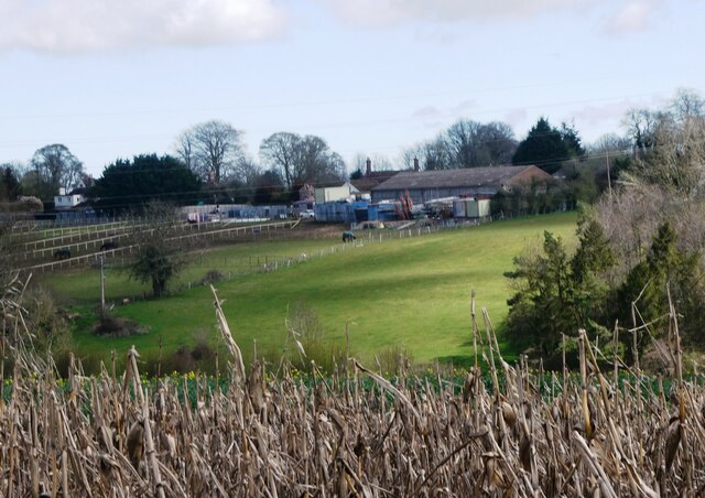
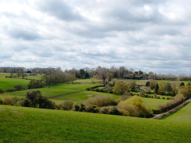
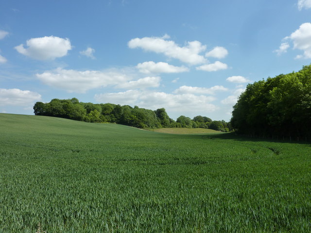
Leaveland Wood is a picturesque forest located in the county of Kent, England. Covering an area of approximately 200 acres, it is a popular destination for nature enthusiasts and hikers alike. The woodland is situated near the village of Leaveland, surrounded by rolling hills and scenic countryside.

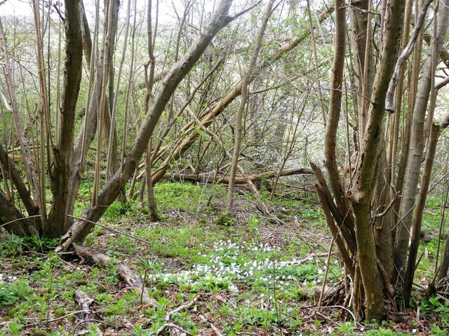
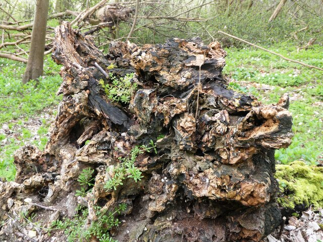
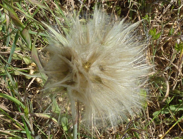
The forest is home to a diverse range of flora and fauna, making it an important ecological site. The tree canopy is dominated by native species such as oak, beech, and birch, providing a habitat for numerous bird species, including woodpeckers and owls. Additionally, the forest floor is carpeted with a variety of wildflowers, ferns, and mosses, adding to the overall beauty of the woodland.

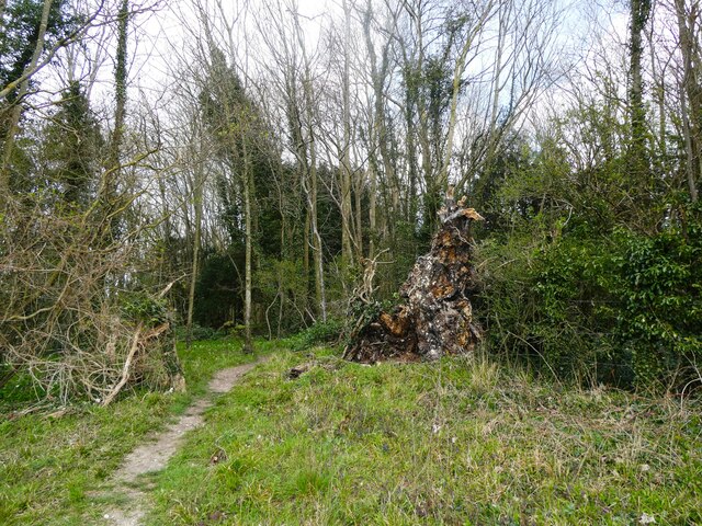
Leaveland Wood offers several well-maintained walking trails, allowing visitors to explore its natural wonders. The paths wind through the forest, offering glimpses of hidden ponds and streams along the way. The tranquil atmosphere and peaceful surroundings make it an ideal spot for a leisurely stroll or a family picnic.

The woodland is also known for its historical significance, with evidence of ancient settlements and archaeological finds dating back to the Neolithic period. This adds an element of intrigue and fascination for history buffs and researchers.

Overall, Leaveland Wood is a captivating destination for those seeking a tranquil retreat in nature. Its natural beauty, diverse wildlife, and historical significance make it a must-visit location for both locals and tourists exploring the Kent countryside.

If you have any feedback on the listing, please let us know in the comments section below.

Leaveland Wood Images

Images are sourced within 2km of 51.255483/0.87081583 or Grid Reference TR0054. Thanks to Geograph Open Source API. All images are credited.

Sheep and lamb, Throwley Viewed from the road leading to Throwley Forstal.
Sheep and lamb, Throwley
Viewed from the road leading to Throwley Forstal.
Lunchtime, Throwley Sheep with her twin lambs.
Lunchtime, Throwley
Sheep with her twin lambs.
Throwley Forstal Throwley lies on top of the Kent North Downs and consists of mainly arable fields and woodland copses covering just over 5 square miles. The population is scattered across a number of hamlets, the largest of which is Throwley Forstal.
Throwley Forstal
Throwley lies on top of the Kent North Downs and consists of mainly arable fields and woodland copses covering just over 5 square miles. The population is scattered across a number of hamlets, the largest of which is Throwley Forstal.
Windmill House, Throwley Forstal A Grade II 18th century listed building, formerly The Windmill Inn, it originally took its name from a neighbouring smock mill, now long gone.
Windmill House, Throwley Forstal
A Grade II 18th century listed building, formerly The Windmill Inn, it originally took its name from a neighbouring smock mill, now long gone.
The road to Throwley Forstal Throwley lies on top of the Kent North Downs and consists of mainly arable fields and woodland copses covering just over 5 square miles. The population is scattered across a number of hamlets, the largest of which is Throwley Forstal.
The road to Throwley Forstal
Throwley lies on top of the Kent North Downs and consists of mainly arable fields and woodland copses covering just over 5 square miles. The population is scattered across a number of hamlets, the largest of which is Throwley Forstal.
Footpath, Throwley Forstal Looking towards Park Lane Farm.
Footpath, Throwley Forstal
Looking towards Park Lane Farm.
Village sign, Throwley Forstal On the lane to Throwley.
Village sign, Throwley Forstal
On the lane to Throwley.
Sheep and lambs, Throwley Forstal A welcome sign of spring on Good Friday.
Sheep and lambs, Throwley Forstal
A welcome sign of spring on Good Friday.
View from Workhouse Road Between Throwley Forstal and Leaveland.
View from Workhouse Road
Between Throwley Forstal and Leaveland.
The eastern end of Workhouse Road, Throwley The footpath on the right leads to Badlesmere.
The eastern end of Workhouse Road, Throwley
The footpath on the right leads to Badlesmere.
Oast  Barn Cottage and barn, near Badlesmere Viewed from the bridleway that runs between Ashford Road and Throwley.
Oast Barn Cottage and barn, near Badlesmere
Viewed from the bridleway that runs between Ashford Road and Throwley.
Crooked  Cottage, Throwley A Grade II listed 15th century house in Bethel Row.
Crooked Cottage, Throwley
A Grade II listed 15th century house in Bethel Row.
Wood anemones, Walk Wood, Throwley South of Wilgate Green.
Wood anemones, Walk Wood, Throwley
South of Wilgate Green.
Tree root, Walk Wood By a footpath near the southern edge of the wood.
Tree root, Walk Wood
By a footpath near the southern edge of the wood.
Path into Walk Wood, near Throwley
Part of the village of Throwley Bagshill Road is on the right. Viewed across the North Downs from the edge of Walk Wood.
Part of the village of Throwley
Bagshill Road is on the right. Viewed across the North Downs from the edge of Walk Wood.
View of woodland near Bell's Forstal Seen from Loose Down Road.
View of woodland near Bell's Forstal
Seen from Loose Down Road.
Goatsbeard seed head (Tragopogon pratensis) The common name for this plant is Jack-go-to-bed-at-noon.
Goatsbeard seed head (Tragopogon pratensis)
The common name for this plant is Jack-go-to-bed-at-noon.
Show me another place!

Leaveland Wood is located at Grid Ref: TR0054 (Lat: 51.255483, Lng: 0.87081583)

Administrative County: Kent

District: Swale

Police Authority: Kent

What 3 Words

///imagined.windpipe.voltages. Near Faversham, Kent

Related Wikis

Leaveland

Leaveland is a hamlet and civil parish located in the Swale borough of Kent, South East England. In terms of topography, it is described as a "village...

Badlesmere, Kent

Badlesmere is a village and civil parish in the Swale district of Kent, England, about five miles south of Faversham and eight miles north of Ashford on...

RAF Throwley

Royal Air Force Throwley or more simply RAF Throwley is a former Royal Air Force (RAF) installation located 1.2 miles (1.9 km) south of Throwley, Kent...

Throwley Priory

Throwley Priory was an English priory south of Faversham in Kent. == History == At the end of the civil wars of 1139-53, King Stephen's chief lieutenant...

Nearby Amenities

Located within 500m of 51.255483,0.87081583
Bus Stop
Workhouse Road
Naptan AtcoCode: 2400A038030A
Naptan Bearing: NE
Naptan CommonName: Workhouse Road
Naptan Indicator: NE-bound
Naptan Landmark: Ashford Rd
Naptan NaptanCode: kntdpdmw
Naptan Street: Workhouse Rd
Naptan Verified: no
Source: naptan_import
Lat/Long: 51.2587945/0.8746799
Bus Stop
Leaveland Corner
Naptan AtcoCode: 2400A038040A
Naptan Bearing: N
Naptan CommonName: Leaveland Corner
Naptan Indicator: N-bound
Naptan Landmark: Workhouse Ln
Naptan NaptanCode: kntdpdpa
Naptan Street: Ashford Rd
Naptan Verified: no
Source: naptan_import
Lat/Long: 51.258851/0.8749415
Leaveland
Place: hamlet
Lat/Long: 51.2577612/0.871485
Grit Bin
Lat/Long: 51.2569333/0.8708962
The data included in this document is from www.openstreetmap.org. The data is made available under ODbL.

Have you been to Leaveland Wood?

Leave your review of Leaveland Wood below (or comments, questions and feedback).