Leaveland

Settlement in Kent Swale

England

Leaveland

Sheep and lamb, Throwley Viewed from the road leading to Throwley Forstal.
Sheep and lamb, Throwley Credit: pam fray

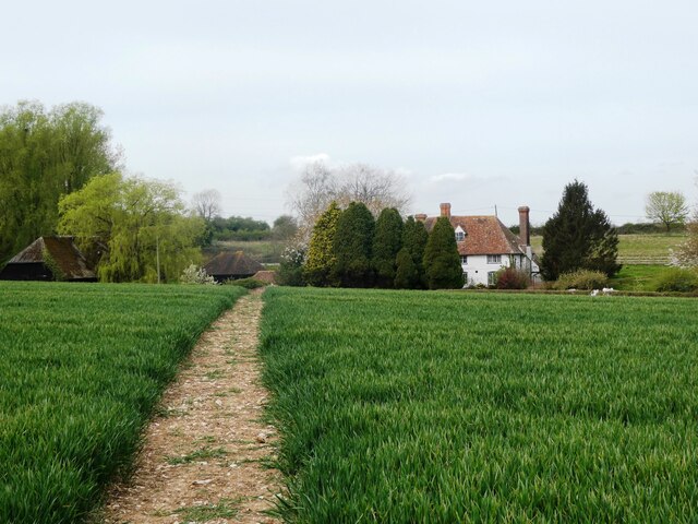
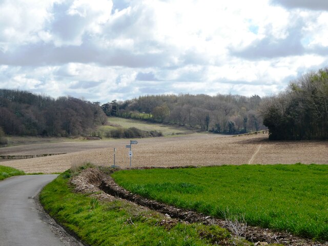
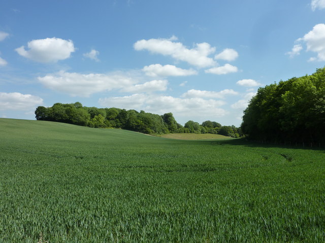
Leaveland is a small village located in the county of Kent, in southeastern England. Situated about 7 miles east of Faversham, the village is nestled in the picturesque Kentish countryside, known for its rolling hills, green pastures, and charming rural landscapes. With a population of around 200 residents, Leaveland maintains a close-knit community atmosphere.

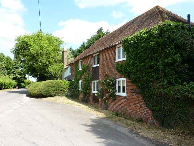
The village is characterized by its traditional English architecture, with many historic buildings dating back several centuries. The centerpiece of Leaveland is the 12th-century Church of St. Laurence, a beautiful example of Norman architecture. The church, with its distinctive square tower and ancient stone walls, provides a glimpse into the village's rich heritage.

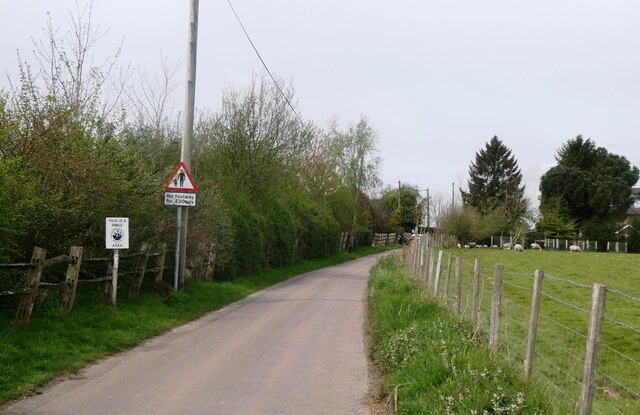
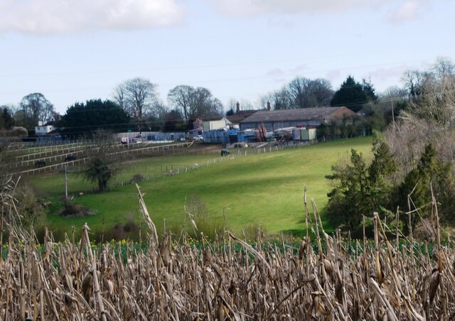
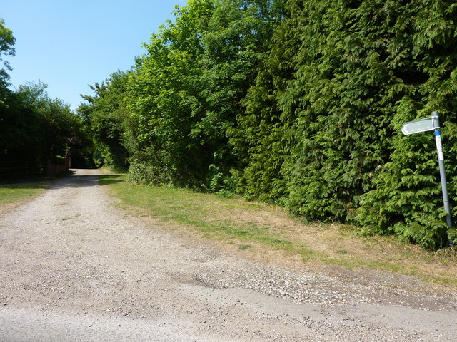
Leaveland benefits from its proximity to the larger towns and cities in Kent. Despite its small size, it offers several amenities, including a village hall and a local pub that serves as a gathering place for both locals and visitors. The village is also surrounded by scenic walking trails, allowing residents and tourists to explore the stunning countryside.

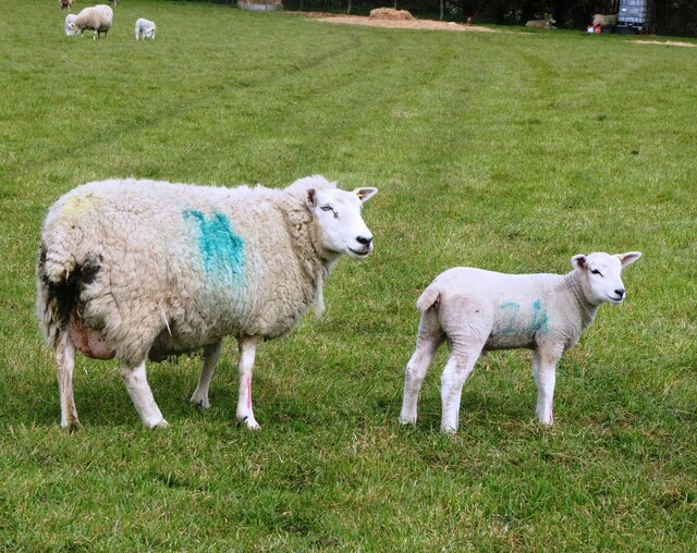
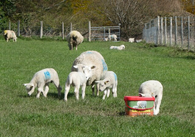
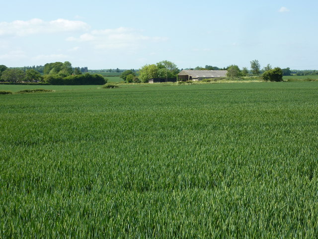
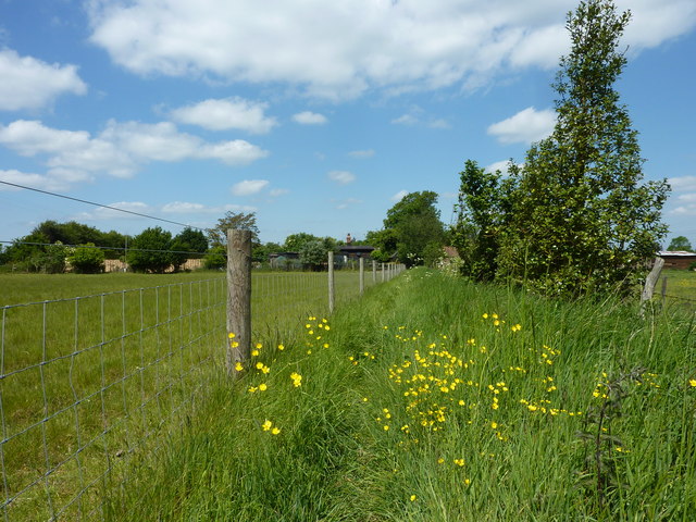
The economy of Leaveland primarily relies on agriculture, with many residents involved in farming or related industries. The fertile soil and favorable climate of the region make it ideal for cultivating crops and rearing livestock.

Leaveland's peaceful and idyllic setting makes it a desirable place to live for those seeking a quiet rural lifestyle. Its close proximity to larger towns and cities makes it an attractive destination for those who appreciate the tranquility of the countryside without sacrificing access to urban amenities.

If you have any feedback on the listing, please let us know in the comments section below.

Leaveland Images

Images are sourced within 2km of 51.250296/0.876295 or Grid Reference TR0054. Thanks to Geograph Open Source API. All images are credited.

Sheep and lamb, Throwley Viewed from the road leading to Throwley Forstal.
Sheep and lamb, Throwley
Viewed from the road leading to Throwley Forstal.
Lunchtime, Throwley Sheep with her twin lambs.
Lunchtime, Throwley
Sheep with her twin lambs.
Throwley Forstal Throwley lies on top of the Kent North Downs and consists of mainly arable fields and woodland copses covering just over 5 square miles. The population is scattered across a number of hamlets, the largest of which is Throwley Forstal.
Throwley Forstal
Throwley lies on top of the Kent North Downs and consists of mainly arable fields and woodland copses covering just over 5 square miles. The population is scattered across a number of hamlets, the largest of which is Throwley Forstal.
Windmill House, Throwley Forstal A Grade II 18th century listed building, formerly The Windmill Inn, it originally took its name from a neighbouring smock mill, now long gone.
Windmill House, Throwley Forstal
A Grade II 18th century listed building, formerly The Windmill Inn, it originally took its name from a neighbouring smock mill, now long gone.
The road to Throwley Forstal Throwley lies on top of the Kent North Downs and consists of mainly arable fields and woodland copses covering just over 5 square miles. The population is scattered across a number of hamlets, the largest of which is Throwley Forstal.
The road to Throwley Forstal
Throwley lies on top of the Kent North Downs and consists of mainly arable fields and woodland copses covering just over 5 square miles. The population is scattered across a number of hamlets, the largest of which is Throwley Forstal.
Footpath, Throwley Forstal Looking towards Park Lane Farm.
Footpath, Throwley Forstal
Looking towards Park Lane Farm.
Village sign, Throwley Forstal On the lane to Throwley.
Village sign, Throwley Forstal
On the lane to Throwley.
Sheep and lambs, Throwley Forstal A welcome sign of spring on Good Friday.
Sheep and lambs, Throwley Forstal
A welcome sign of spring on Good Friday.
View from Workhouse Road Between Throwley Forstal and Leaveland.
View from Workhouse Road
Between Throwley Forstal and Leaveland.
The eastern end of Workhouse Road, Throwley The footpath on the right leads to Badlesmere.
The eastern end of Workhouse Road, Throwley
The footpath on the right leads to Badlesmere.
Oast  Barn Cottage and barn, near Badlesmere Viewed from the bridleway that runs between Ashford Road and Throwley.
Oast Barn Cottage and barn, near Badlesmere
Viewed from the bridleway that runs between Ashford Road and Throwley.
Crooked  Cottage, Throwley A Grade II listed 15th century house in Bethel Row.
Crooked Cottage, Throwley
A Grade II listed 15th century house in Bethel Row.
View of woodland near Bell's Forstal Seen from Loose Down Road.
View of woodland near Bell's Forstal
Seen from Loose Down Road.
Goatsbeard seed head (Tragopogon pratensis) The common name for this plant is Jack-go-to-bed-at-noon.
Goatsbeard seed head (Tragopogon pratensis)
The common name for this plant is Jack-go-to-bed-at-noon.
Cadman's Farm Viewed from Loose Down Road.
Cadman's Farm
Viewed from Loose Down Road.
Oast Barn, Bell's Forstal
Public bridleway south of Throwley Forstal, leading to Housefield Road
Footpath to Throwley Forstal
Show me another place!

Leaveland is located at Grid Ref: TR0054 (Lat: 51.250296, Lng: 0.876295)

Administrative County: Kent

District: Swale

Police Authority: Kent

What 3 Words

///awestruck.evenings.movies. Near Charing, Kent

Related Wikis

Leaveland

Leaveland is a hamlet and civil parish located in the Swale borough of Kent, South East England. In terms of topography, it is described as a "village...

Badlesmere, Kent

Badlesmere is a village and civil parish in the Swale district of Kent, England, about five miles south of Faversham and eight miles north of Ashford on...
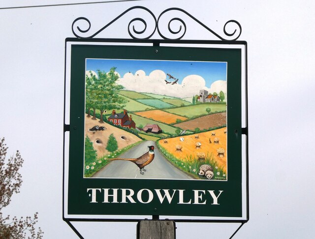
RAF Throwley

Royal Air Force Throwley or more simply RAF Throwley is a former Royal Air Force (RAF) installation located 1.2 miles (1.9 km) south of Throwley, Kent...

Throwley Priory

Throwley Priory was an English priory south of Faversham in Kent. == History == At the end of the civil wars of 1139-53, King Stephen's chief lieutenant...

Nearby Amenities

Located within 500m of 51.250296,0.876295
Badlesmere
Is In: Kent, England, UK
Place: village
Source: npe
Lat/Long: 51.2508294/0.8790579
Bus Stop
The Red Lion
Naptan AtcoCode: 2400A022410A
Naptan Bearing: S
Naptan CommonName: The Red Lion
Naptan Indicator: o/s
Naptan Landmark: The Red Lion
Naptan NaptanCode: kntawpat
Naptan Street: Ashford Road
Naptan Verified: no
Public Transport: platform
Ref: kntawpat
Source: naptan_import
Source Date: 2018-05-29T11:18:00
Lat/Long: 51.2490695/0.8767794
Post Box
Collection Plate: CPR
Collection Times: Mo-Fr 16:30; Sa 09:45
Operator: Royal Mail
Operator Wikidata: Q638098
Post Box Type: wall
Postal Code: ME13
Ref: ME13 3
Royal Cypher: VR
Royal Cypher Wikidata: Q33102356
Source: survey
Survey Date: 2023-11-24
Lat/Long: 51.2493985/0.876599
Power: tower
Lat/Long: 51.2472839/0.8810396
Pub
The Red Lion
Wikidata: Q26323355
Lat/Long: 51.2492188/0.8767928
Power: tower
Lat/Long: 51.2494773/0.8704447
Power: tower
Lat/Long: 51.2485377/0.8749833
Power: tower
Lat/Long: 51.2478849/0.8781368
Generator Method: photovoltaic
Generator Output Electricity: yes
Generator Source: solar
Generator Type: solar_photovoltaic_panel
Location: roof
Power: generator
Lat/Long: 51.2496994/0.8770904
Generator Method: photovoltaic
Generator Output Electricity: yes
Generator Source: solar
Generator Type: solar_photovoltaic_panel
Location: roof
Power: generator
Lat/Long: 51.2512061/0.8763809
Bus Stop
The Red Lion
Naptan AtcoCode: 2400A070330A
Naptan Bearing: N
Naptan CommonName: The Red Lion
Naptan Indicator: opp
Naptan Landmark: The Red Lion
Naptan NaptanCode: kntgdgpt
Naptan Street: Ashford Road
Public Transport: platform
Ref: kntgdgpt
Source: NAPTAN
Source Date: 2018-05-29T11:19:00
Lat/Long: 51.2496322/0.8765709
Parking
Parking: layby
Lat/Long: 51.250596/0.8770156
Telephone
Defibrillator
Booth: K6
Covered: booth
Defibrillator Location: inside old red phone box in Badlesmere
Emergency: defibrillator
Man Made: telephone_box
Lat/Long: 51.2510409/0.8770343
The data included in this document is from www.openstreetmap.org. The data is made available under ODbL.

Have you been to Leaveland?

Leave your review of Leaveland below (or comments, questions and feedback).