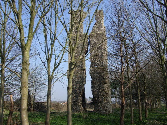
Dianas Wood

Wood, Forest in Norfolk Breckland

England

Dianas Wood

St. Peter's church, Rockland St. Peter The 13th c. tower is round with a stair turret leading up to the belfry stage, above which is an octagonal top. Just inside the nave, set in the wall, is half a stoup bowl, broken as a result of a fire in 1947 which gutted the church and destroyed almost everything in it. Consequently most of the furnishings and fittings are salvaged from other churches either redundant or unused. The screen, for example, is from Tottington St Andrew in the battle area and looks completely wrong here. The pulpit was from there too, but has been since reclaimed. At the time of writing the church has no pulpit. Because the original benches were burned, the seating is now individual chairs, giving the unfortunate appearance of a schoolroom. The large octagonal 14th c. font with quatrefoil tracery designs was undamaged in the fire.
St. Peter's church, Rockland St. Peter Credit: Adrian S Pye

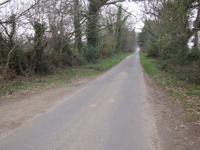
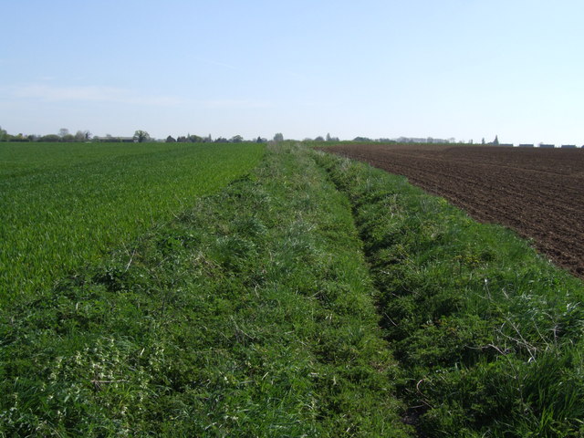
Dianas Wood is a picturesque woodland located in Norfolk, England. Spread over an area of approximately 100 acres, it is a popular destination for nature enthusiasts and outdoor lovers. The wood is named after the Roman goddess of hunting and the moon, Diana, which adds to its mystique and charm.

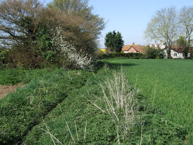
This woodland is known for its diverse range of trees, including oak, beech, birch, and pine. The lush green canopy creates a serene environment and provides a haven for a variety of wildlife. Visitors can spot numerous species of birds, such as woodpeckers, owls, and thrushes, as well as small mammals like squirrels and rabbits.

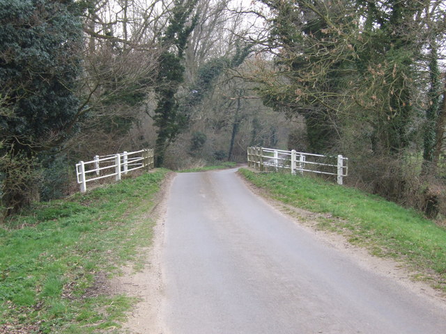
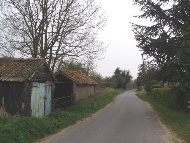
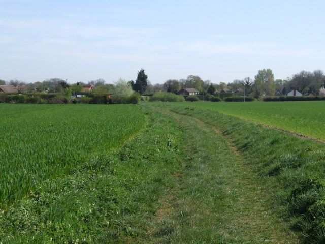
Dianas Wood offers a network of well-maintained walking trails, allowing visitors to explore its beauty at their own pace. These trails meander through the wood, providing opportunities to immerse oneself in the tranquility of nature. The wood is also home to a small stream, adding to its allure and providing a pleasant backdrop for picnics and relaxation.

The wood is well-equipped with amenities, including picnic areas, benches, and information boards highlighting the various flora and fauna found within the woodland. There are also designated areas for birdwatching and photography.

Dianas Wood is a year-round attraction, with each season showcasing its unique beauty. In spring, the woodland comes alive with vibrant wildflowers, while autumn treats visitors to a kaleidoscope of colors as the leaves change. Winter brings a peacefulness to the wood, with frost-covered branches and a hushed atmosphere.

Overall, Dianas Wood offers a serene and enchanting experience for nature enthusiasts, providing a perfect escape from the hustle and bustle of everyday life.

If you have any feedback on the listing, please let us know in the comments section below.
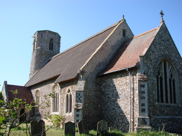
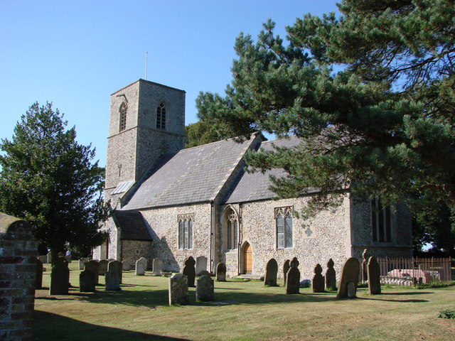
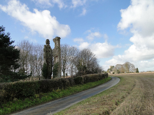
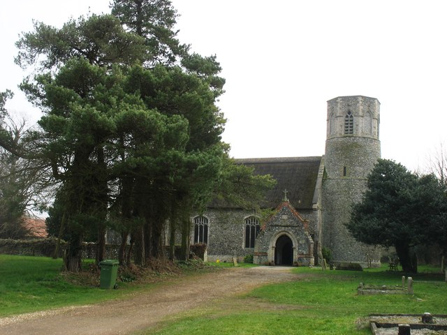
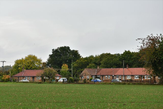
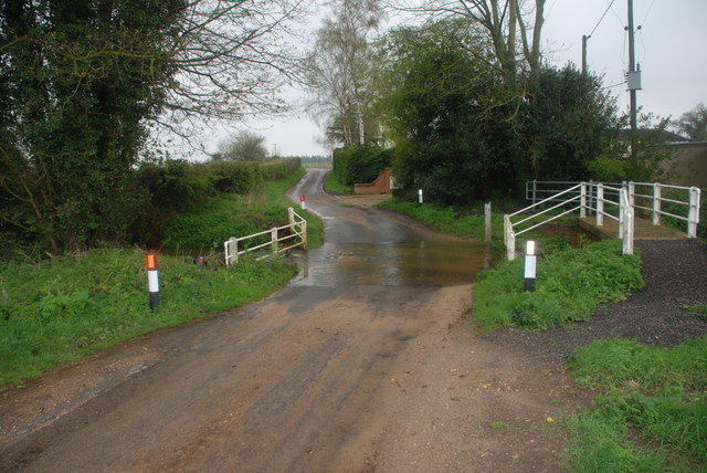
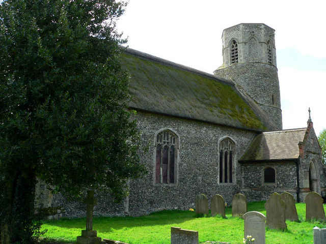
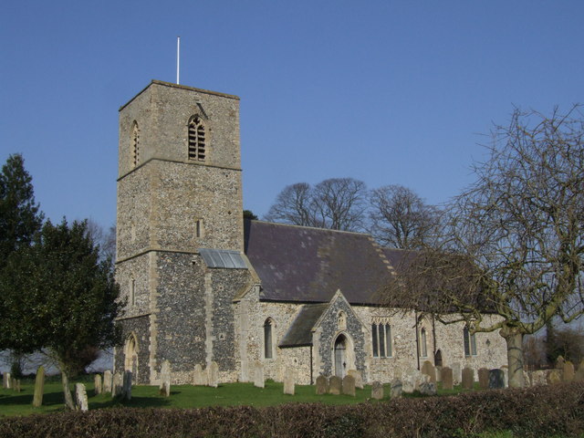
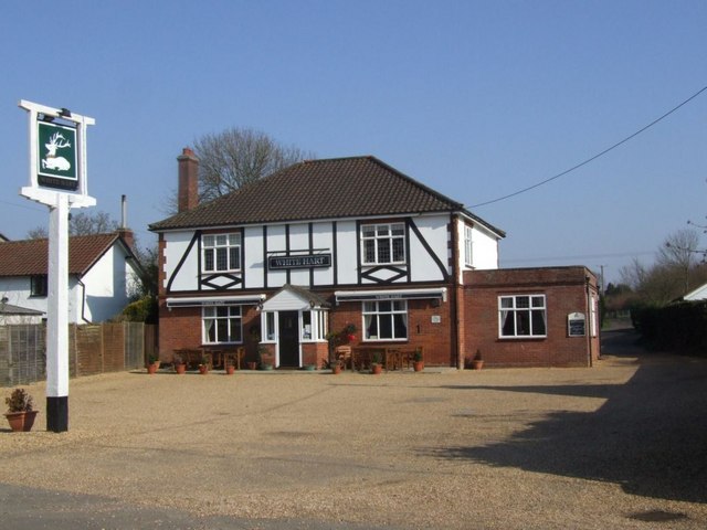
Dianas Wood Images

Images are sourced within 2km of 52.520844/0.94020502 or Grid Reference TL9995. Thanks to Geograph Open Source API. All images are credited.

St. Peter's church, Rockland St. Peter The 13th c. tower is round with a stair turret leading up to the belfry stage, above which is an octagonal top. Just inside the nave, set in the wall, is half a stoup bowl, broken as a result of a fire in 1947 which gutted the church and destroyed almost everything in it. Consequently most of the furnishings and fittings are salvaged from other churches either redundant or unused. The screen, for example, is from Tottington St Andrew in the battle area and looks completely wrong here. The pulpit was from there too, but has been since reclaimed. At the time of writing the church has no pulpit. Because the original benches were burned, the seating is now individual chairs, giving the unfortunate appearance of a schoolroom. The large octagonal 14th c. font with quatrefoil tracery designs was undamaged in the fire.
St. Peter's church, Rockland St. Peter
The 13th c. tower is round with a stair turret leading up to the belfry stage, above which is an octagonal top. Just inside the nave, set in the wall, is half a stoup bowl, broken as a result of a fire in 1947 which gutted the church and destroyed almost everything in it. Consequently most of the furnishings and fittings are salvaged from other churches either redundant or unused. The screen, for example, is from Tottington St Andrew in the battle area and looks completely wrong here. The pulpit was from there too, but has been since reclaimed. At the time of writing the church has no pulpit. Because the original benches were burned, the seating is now individual chairs, giving the unfortunate appearance of a schoolroom. The large octagonal 14th c. font with quatrefoil tracery designs was undamaged in the fire.
All Saints church, Rockland All Saints This is a church with a long history. There is a thousand-year-old sepulchral slab dating from Saxon times in the chancel, and long and short work can be seen in the structure of the nave. The church we see today is mainly 13th to 15th c. and was built on the site utilising part of the much older church. The Norman influence can be seen in the construction of the north doorway. There is a well carved octagonal font of 1880 depicting various religious scenes and saintly emblems. The barrel roofs leave a lot to be desired, somehow out of place here, and looking too new in ancient surroundings. A small font bowl circa 1100 was found in a garden in the parish some years ago. Most of the fixtures and fittings are Victorian in date, the Edwardian pulpit even later. The Royal Arms of Queen Victoria are dated 1860.
All Saints church, Rockland All Saints
This is a church with a long history. There is a thousand-year-old sepulchral slab dating from Saxon times in the chancel, and long and short work can be seen in the structure of the nave. The church we see today is mainly 13th to 15th c. and was built on the site utilising part of the much older church. The Norman influence can be seen in the construction of the north doorway. There is a well carved octagonal font of 1880 depicting various religious scenes and saintly emblems. The barrel roofs leave a lot to be desired, somehow out of place here, and looking too new in ancient surroundings. A small font bowl circa 1100 was found in a garden in the parish some years ago. Most of the fixtures and fittings are Victorian in date, the Edwardian pulpit even later. The Royal Arms of Queen Victoria are dated 1860.
The remains of Rockland St. Andrew's church tower The ruin of St Andrew’s church has been part of the local scenery for centuries Abandoned in the early 1700s it was originally built in the 14th c. as the parish or manor church for the manor neighbouring All Saints. In ancient times manors were more of a division than parishes, and each would have its own church and display of wealth and prosperity. Some parishes had many manors and grew into large towns and cities. Stories surrounding this church are included in the guide to All Saints. One tells of rector, Baldwin de Rosey, who in 1286 assaulted a parishioner.  A successor Simon att Wode (Attwood) was found guilty of burglary in 1332. From these tales it would appear that not everyone practised what they preached, even then. Rockland All Saints is seen in the distance. <a href="https://www.geograph.org.uk/photo/3913694">TL9996 : All Saints church, Rockland All Saints</a>
The remains of Rockland St. Andrew's church tower
The ruin of St Andrew’s church has been part of the local scenery for centuries Abandoned in the early 1700s it was originally built in the 14th c. as the parish or manor church for the manor neighbouring All Saints. In ancient times manors were more of a division than parishes, and each would have its own church and display of wealth and prosperity. Some parishes had many manors and grew into large towns and cities. Stories surrounding this church are included in the guide to All Saints. One tells of rector, Baldwin de Rosey, who in 1286 assaulted a parishioner. A successor Simon att Wode (Attwood) was found guilty of burglary in 1332. From these tales it would appear that not everyone practised what they preached, even then. Rockland All Saints is seen in the distance. TL9996 : All Saints church, Rockland All Saints
Ordnance Survey Cut Mark This OS cut mark can be found on the north face of St Peter's Church. It marks a point 54.035m above mean sea level.
Ordnance Survey Cut Mark
This OS cut mark can be found on the north face of St Peter's Church. It marks a point 54.035m above mean sea level.
St Peter's church, Rockland I am relying on the Explorer (1:25,000) map to place this church about 20 metres inside <a href="https://www.geograph.org.uk/gridref/TL9897">TL9897</a>, although I note that earlier contributors (perhaps using the Landranger map?) have located it in <a href="https://www.geograph.org.uk/gridref/TL9997">TL9997</a>.
There is an interesting, and rare, octagonal top to the tower.
St Peter's church, Rockland
I am relying on the Explorer (1:25,000) map to place this church about 20 metres inside TL9897, although I note that earlier contributors (perhaps using the Landranger map?) have located it in TL9997. There is an interesting, and rare, octagonal top to the tower.
Rockland All Saints: Houses in Wayland Road
Attleborough Ford This ford is found at Swangey Farm east of Attleborough on Swangey Lane.
Attleborough Ford
This ford is found at Swangey Farm east of Attleborough on Swangey Lane.
Rockland St Peter Church
Remains of St. Andrews Church, Rockland All Saints
Rockland All Saints Church
The White Hart, Rockland All Saints
White Bridge, Mount Pleasant
Rocklands Road The entrance to Spong Lane can just be seen off to the left in the distance. Taken from the end of a plantation so this shows the complete section of the road that crosses the corner of the Geosquare.
Rocklands Road
The entrance to Spong Lane can just be seen off to the left in the distance. Taken from the end of a plantation so this shows the complete section of the road that crosses the corner of the Geosquare.
At the crossroads The fields of rape seed make a dramatic splash of colour in April and it's a common sight in the Breckland area of Norfolk.  This picture was taken between the Rockland villages and Stow Bedon.
At the crossroads
The fields of rape seed make a dramatic splash of colour in April and it's a common sight in the Breckland area of Norfolk. This picture was taken between the Rockland villages and Stow Bedon.
Old farm buildings An old barn and ramshackle building on the road to Rockland All Saints.
Old farm buildings
An old barn and ramshackle building on the road to Rockland All Saints.
Brown's Lane  (Track) Overgrown track looking west. The rooves of buildings beside Flybarn Farm can be seen in the distance.
Brown's Lane (Track)
Overgrown track looking west. The rooves of buildings beside Flybarn Farm can be seen in the distance.
Brown's Lane (Track) Looking East and uphill between the fields
Brown's Lane (Track)
Looking East and uphill between the fields
Brown's Lane (Track) Leading down, between the fields, into Rockland All Saints.
Brown's Lane (Track)
Leading down, between the fields, into Rockland All Saints.
Show me another place!

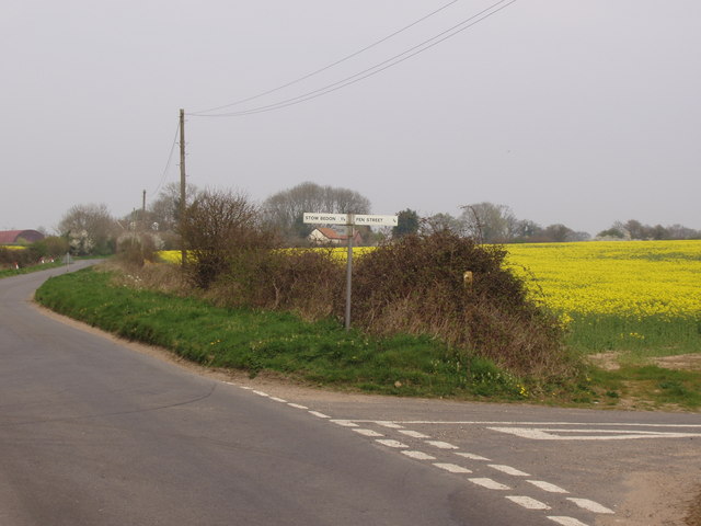
Dianas Wood is located at Grid Ref: TL9995 (Lat: 52.520844, Lng: 0.94020502)

Administrative County: Norfolk

District: Breckland

Police Authority: Norfolk

What 3 Words

///headless.survivor.ironic. Near Attleborough, Norfolk

Related Wikis

Rockland St Peter

Rockland St Peter is a village and former civil parish, now in the parish of Rocklands, in the Breckland district, in the county of Norfolk, England. Its...

Rockland All Saints

Rockland All Saints is a village and former civil parish, now in the parish of Rocklands, in the Breckland district, in the county of Norfolk, England...

Anchor Corner

Anchor Corner is a village in Norfolk, England.

Rocklands

Rocklands is a civil parish in the English county of Norfolk which encompasses the villages of Rockland All Saints and Rockland St Peter. It covers an...

Shropham

Shropham is a civil parish in the English county of Norfolk. It covers an area of 11.12 km2 (4.29 sq mi) and had a population of 351 in 155 households...

Great Ellingham Windmill

Great Ellingham Windmill is a Grade II listed tower mill in Great Ellingham, Norfolk, England which has been converted to residential accommodation....

Great Ellingham

Great Ellingham is a village and civil parish in the Breckland District of Norfolk. The village lies 2.5 miles north-west of Attleborough, 2 miles south...

Swangey Fen, Attleborough

Swangey Fen, Attleborough is a 48.4-hectare (120-acre) biological Site of Special Scientific Interest south-west of Attleborough in Norfolk. It is part...

Nearby Amenities

Located within 500m of 52.520844,0.94020502
Post Box
Collection Times: Mo-Fr 09:00; Sa 08:30
Post Box Type: lamp
Ref: NR17 1731
Royal Cypher: EIIR
Royal Cypher Wikidata: Q33102113
Lat/Long: 52.5234037/0.946082
Bench
Backrest: yes
Material: wood
Seats: 3
Lat/Long: 52.5252397/0.9388877
The data included in this document is from www.openstreetmap.org. The data is made available under ODbL.

Have you been to Dianas Wood?

Leave your review of Dianas Wood below (or comments, questions and feedback).