Long Furlong Plantation
Wood, Forest in Norfolk Breckland
England
Long Furlong Plantation
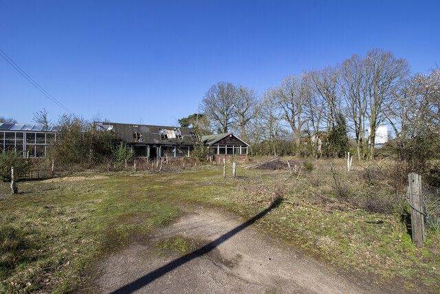
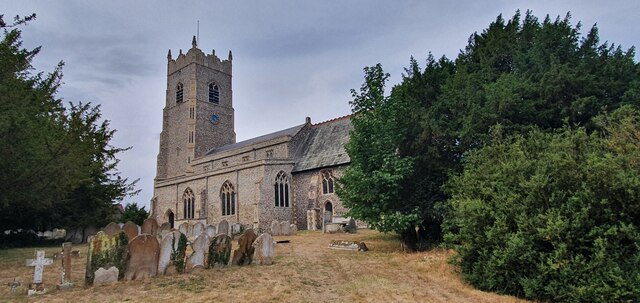
Long Furlong Plantation, located in Norfolk, England, is a sprawling woodland area known for its scenic beauty and diverse plant and animal life. Covering an area of approximately 100 acres, the plantation is situated near the village of Wood, nestled between the towns of Fakenham and Wells-next-the-Sea.
The woodland is characterized by its dense canopy of trees, primarily composed of native species such as oak, beech, and birch. This creates a tranquil and serene atmosphere, attracting visitors who seek a peaceful escape into nature. The forest floor is rich in flora, with an array of wildflowers, ferns, and mosses thriving in the damp and shaded environment.
Long Furlong Plantation is not only a haven for plant life but also a sanctuary for various animal species. The woodland provides a habitat for a diverse range of fauna, including deer, foxes, rabbits, and a multitude of bird species. Nature enthusiasts can often spot woodpeckers, owls, and buzzards, among other avian residents.
The plantation offers several walking trails and paths, allowing visitors to explore the woodland at their leisure. These paths wind through the trees, offering glimpses of the surrounding countryside and providing opportunities for birdwatching and wildlife observation. Additionally, there are picnic areas scattered throughout the plantation, providing a perfect spot to enjoy a packed lunch amidst the peaceful ambiance.
Long Furlong Plantation is a natural gem in the Norfolk countryside, offering a tranquil retreat for those seeking solace in nature. Its combination of picturesque landscapes, diverse flora, and abundant wildlife make it a must-visit destination for nature lovers and outdoor enthusiasts alike.
If you have any feedback on the listing, please let us know in the comments section below.
Long Furlong Plantation Images
Images are sourced within 2km of 52.397693/0.93190383 or Grid Reference TL9981. Thanks to Geograph Open Source API. All images are credited.

Long Furlong Plantation is located at Grid Ref: TL9981 (Lat: 52.397693, Lng: 0.93190383)
Administrative County: Norfolk
District: Breckland
Police Authority: Norfolk
What 3 Words
///pioneered.alpha.paramedic. Near East Harling, Norfolk
Nearby Locations
Related Wikis
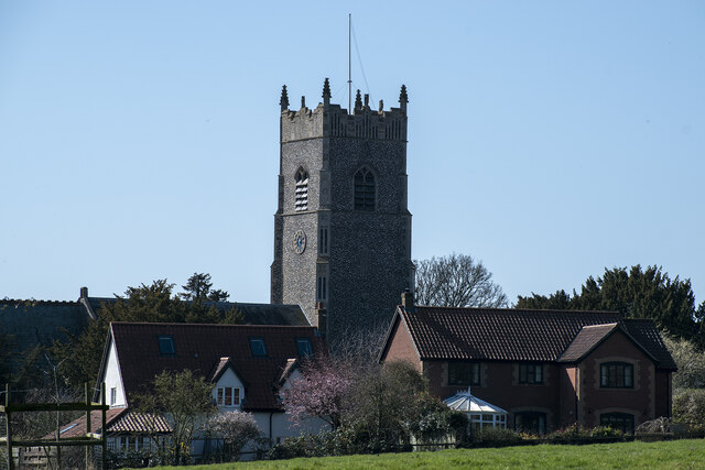
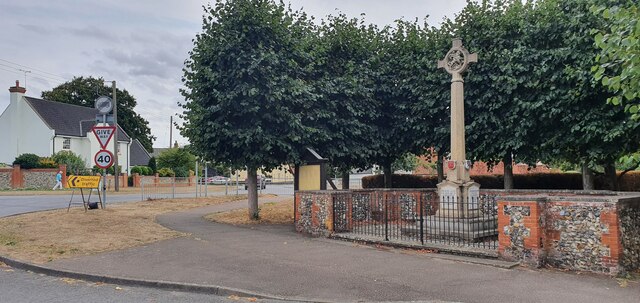
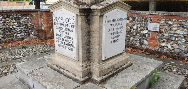
Garboldisham
Garboldisham () is a village and civil parish in the English county of Norfolk. The village is located 7.1 miles (11.4 km) north-west of Diss and 22 miles...
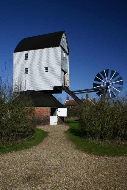
Garboldisham Windmill
Garboldisham Mill is a Grade II* listed post mill at Garboldisham, Norfolk, that has been restored. == History == Although millers were recorded in Garboldisham...

Hopton Fen
Hopton Fen is a 15.3-hectare (38-acre) biological Site of Special Scientific Interest north of Hopton in Suffolk. It is managed by the Suffolk Wildlife...

Roman Catholic Diocese of East Anglia
The Diocese of East Anglia (Latin: Dioecesis Angliae Orientalis) is a Latin diocese of the Catholic Church covering the counties of Cambridgeshire, Norfolk...
Nearby Amenities
Located within 500m of 52.397693,0.93190383Have you been to Long Furlong Plantation?
Leave your review of Long Furlong Plantation below (or comments, questions and feedback).