Foster's Plantation

Wood, Forest in Norfolk Breckland

England

Foster's Plantation

Rockland All Saints: Houses in Wayland Road
Rockland All Saints: Houses in Wayland Road Credit: Michael Garlick

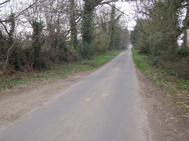
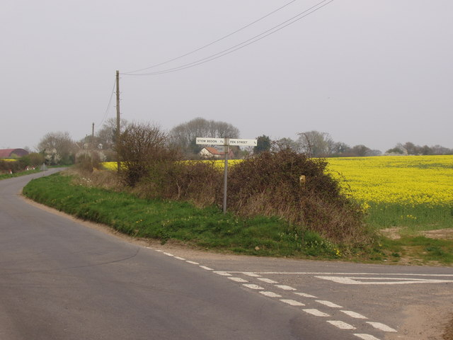
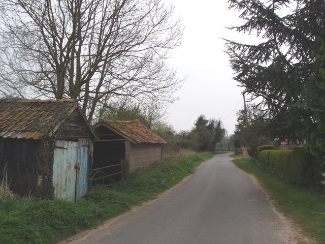
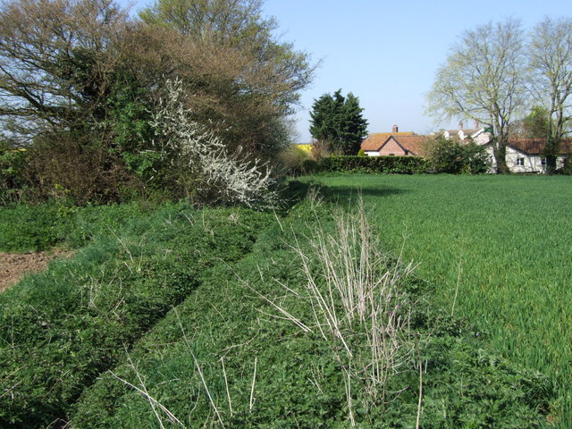
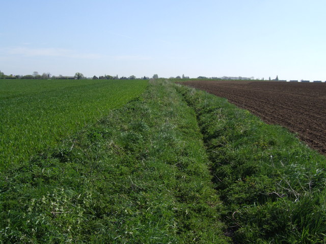
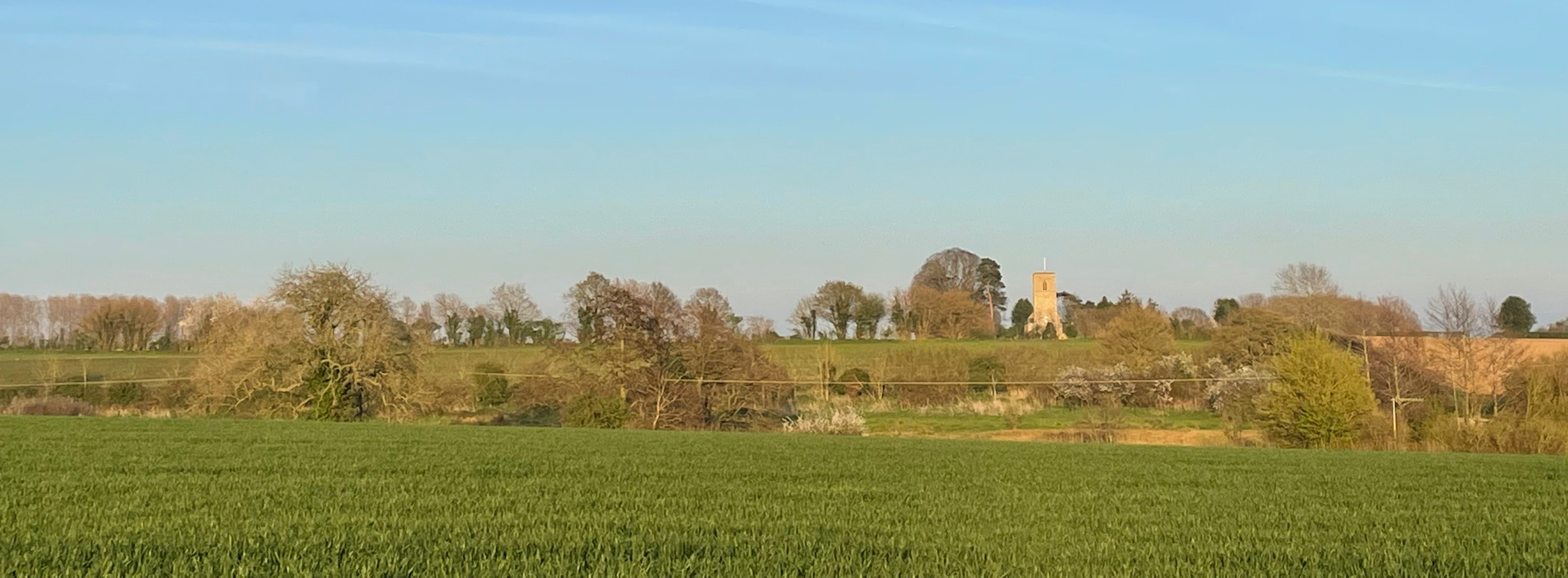
Foster's Plantation is a historic woodland area located in Norfolk, England. Covering a vast expanse of land, the plantation is known for its dense forest and rich wildlife. The plantation is situated in a rural area, surrounded by picturesque countryside and rolling hills.

The woodland in Foster's Plantation is predominantly made up of a variety of tree species, including oak, beech, and pine. These trees provide a diverse and vibrant ecosystem, supporting a wide range of fauna and flora. The forest floor is covered with a thick carpet of moss and ferns, creating a lush and enchanting atmosphere.

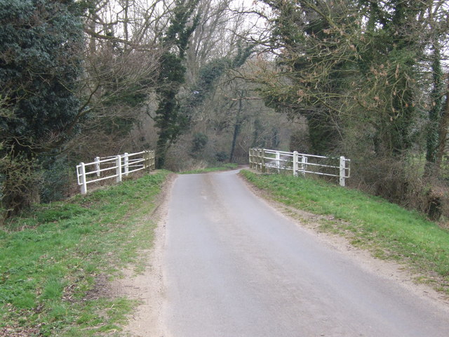
The plantation is a popular destination for nature enthusiasts and outdoor lovers. It offers several walking trails that wind through the woods, allowing visitors to explore the natural beauty of the area. The trails are well-maintained and clearly marked, making it easy for visitors to navigate through the dense vegetation.

Wildlife is abundant in Foster's Plantation, with various bird species, mammals, and insects calling this place home. Birdwatchers can spot species such as woodpeckers, owls, and thrushes, while mammal enthusiasts may come across foxes, deer, and rabbits. The plantation is also home to numerous insects, including butterflies and dragonflies, adding to the biodiversity of the area.

The serene and tranquil atmosphere of Foster's Plantation makes it an ideal place for relaxation and contemplation. Whether it's a leisurely stroll through the woods or a picnic amidst nature, visitors are sure to find solace in the beauty and serenity of this historic woodland area.

If you have any feedback on the listing, please let us know in the comments section below.

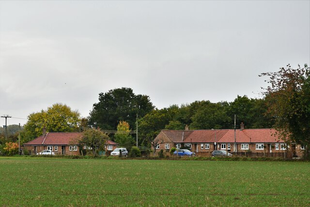
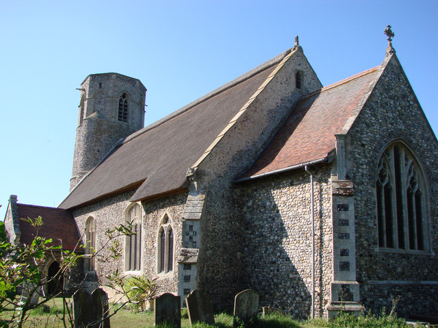
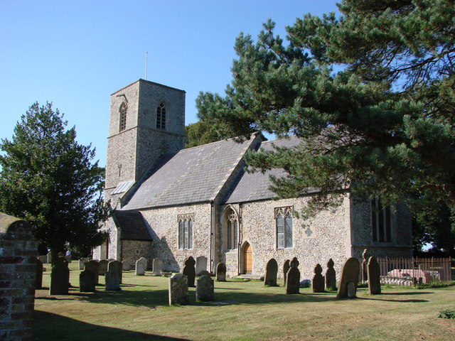
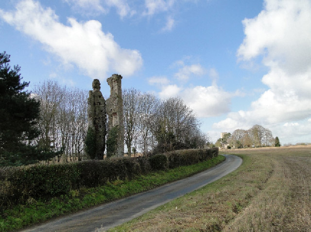
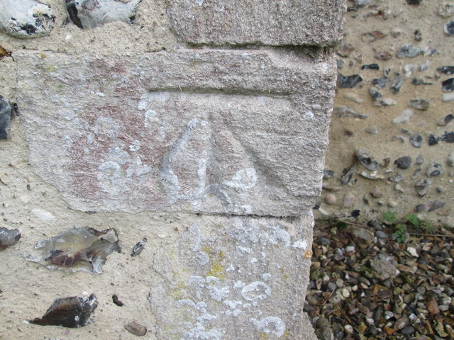
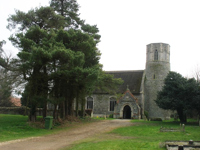
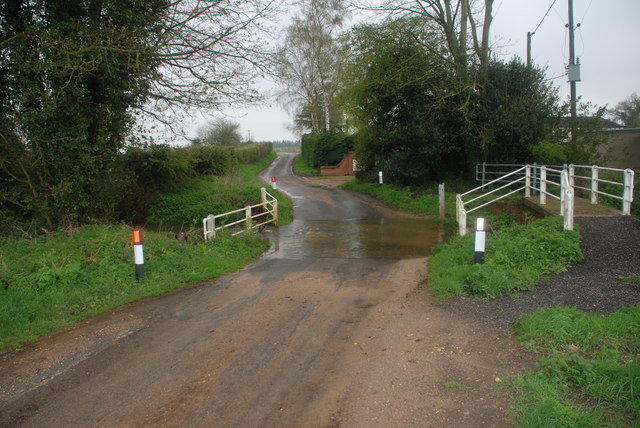
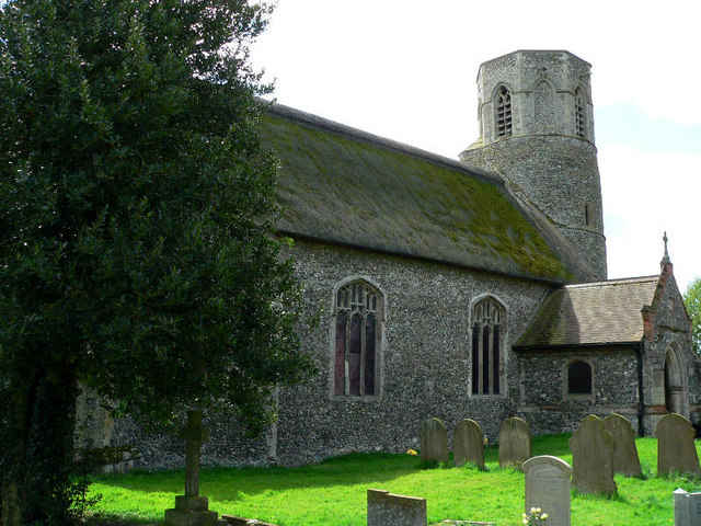
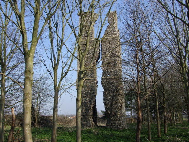
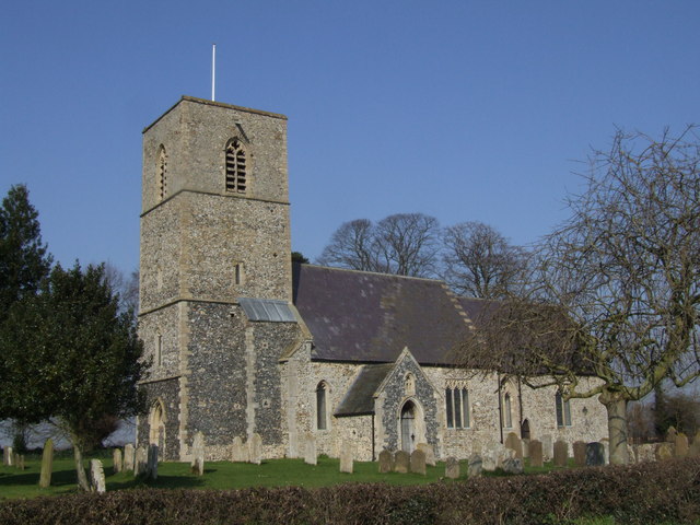
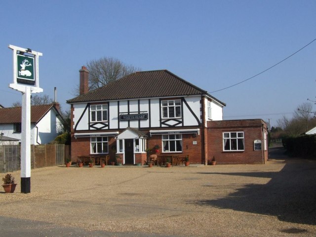
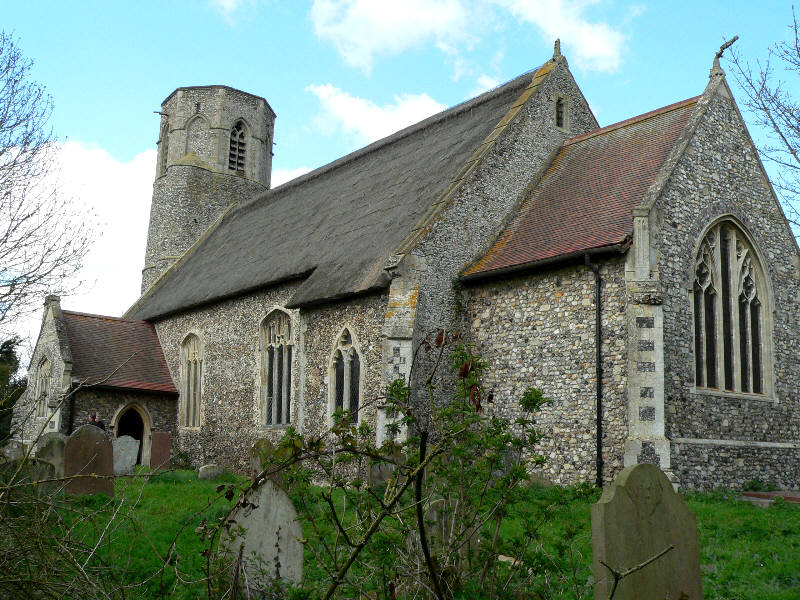
Foster's Plantation Images

Images are sourced within 2km of 52.52124/0.93403945 or Grid Reference TL9995. Thanks to Geograph Open Source API. All images are credited.

Rockland All Saints: Houses in Wayland Road
Postbox at Rockland St Peter NR17 1727. Royal Mail list this box as 'Chapel Street (D)'.
Postbox at Rockland St Peter
NR17 1727. Royal Mail list this box as 'Chapel Street (D)'.
St. Peter's church, Rockland St. Peter The 13th c. tower is round with a stair turret leading up to the belfry stage, above which is an octagonal top. Just inside the nave, set in the wall, is half a stoup bowl, broken as a result of a fire in 1947 which gutted the church and destroyed almost everything in it. Consequently most of the furnishings and fittings are salvaged from other churches either redundant or unused. The screen, for example, is from Tottington St Andrew in the battle area and looks completely wrong here. The pulpit was from there too, but has been since reclaimed. At the time of writing the church has no pulpit. Because the original benches were burned, the seating is now individual chairs, giving the unfortunate appearance of a schoolroom. The large octagonal 14th c. font with quatrefoil tracery designs was undamaged in the fire.
St. Peter's church, Rockland St. Peter
The 13th c. tower is round with a stair turret leading up to the belfry stage, above which is an octagonal top. Just inside the nave, set in the wall, is half a stoup bowl, broken as a result of a fire in 1947 which gutted the church and destroyed almost everything in it. Consequently most of the furnishings and fittings are salvaged from other churches either redundant or unused. The screen, for example, is from Tottington St Andrew in the battle area and looks completely wrong here. The pulpit was from there too, but has been since reclaimed. At the time of writing the church has no pulpit. Because the original benches were burned, the seating is now individual chairs, giving the unfortunate appearance of a schoolroom. The large octagonal 14th c. font with quatrefoil tracery designs was undamaged in the fire.
All Saints church, Rockland All Saints This is a church with a long history. There is a thousand-year-old sepulchral slab dating from Saxon times in the chancel, and long and short work can be seen in the structure of the nave. The church we see today is mainly 13th to 15th c. and was built on the site utilising part of the much older church. The Norman influence can be seen in the construction of the north doorway. There is a well carved octagonal font of 1880 depicting various religious scenes and saintly emblems. The barrel roofs leave a lot to be desired, somehow out of place here, and looking too new in ancient surroundings. A small font bowl circa 1100 was found in a garden in the parish some years ago. Most of the fixtures and fittings are Victorian in date, the Edwardian pulpit even later. The Royal Arms of Queen Victoria are dated 1860.
All Saints church, Rockland All Saints
This is a church with a long history. There is a thousand-year-old sepulchral slab dating from Saxon times in the chancel, and long and short work can be seen in the structure of the nave. The church we see today is mainly 13th to 15th c. and was built on the site utilising part of the much older church. The Norman influence can be seen in the construction of the north doorway. There is a well carved octagonal font of 1880 depicting various religious scenes and saintly emblems. The barrel roofs leave a lot to be desired, somehow out of place here, and looking too new in ancient surroundings. A small font bowl circa 1100 was found in a garden in the parish some years ago. Most of the fixtures and fittings are Victorian in date, the Edwardian pulpit even later. The Royal Arms of Queen Victoria are dated 1860.
The remains of Rockland St. Andrew's church tower The ruin of St Andrew’s church has been part of the local scenery for centuries Abandoned in the early 1700s it was originally built in the 14th c. as the parish or manor church for the manor neighbouring All Saints. In ancient times manors were more of a division than parishes, and each would have its own church and display of wealth and prosperity. Some parishes had many manors and grew into large towns and cities. Stories surrounding this church are included in the guide to All Saints. One tells of rector, Baldwin de Rosey, who in 1286 assaulted a parishioner.  A successor Simon att Wode (Attwood) was found guilty of burglary in 1332. From these tales it would appear that not everyone practised what they preached, even then. Rockland All Saints is seen in the distance. <a href="https://www.geograph.org.uk/photo/3913694">TL9996 : All Saints church, Rockland All Saints</a>
The remains of Rockland St. Andrew's church tower
The ruin of St Andrew’s church has been part of the local scenery for centuries Abandoned in the early 1700s it was originally built in the 14th c. as the parish or manor church for the manor neighbouring All Saints. In ancient times manors were more of a division than parishes, and each would have its own church and display of wealth and prosperity. Some parishes had many manors and grew into large towns and cities. Stories surrounding this church are included in the guide to All Saints. One tells of rector, Baldwin de Rosey, who in 1286 assaulted a parishioner. A successor Simon att Wode (Attwood) was found guilty of burglary in 1332. From these tales it would appear that not everyone practised what they preached, even then. Rockland All Saints is seen in the distance. TL9996 : All Saints church, Rockland All Saints
Ordnance Survey Cut Mark This OS cut mark can be found on the north face of St Peter's Church. It marks a point 54.035m above mean sea level.
Ordnance Survey Cut Mark
This OS cut mark can be found on the north face of St Peter's Church. It marks a point 54.035m above mean sea level.
St Peter's church, Rockland I am relying on the Explorer (1:25,000) map to place this church about 20 metres inside <a href="https://www.geograph.org.uk/gridref/TL9897">TL9897</a>, although I note that earlier contributors (perhaps using the Landranger map?) have located it in <a href="https://www.geograph.org.uk/gridref/TL9997">TL9997</a>.
There is an interesting, and rare, octagonal top to the tower.
St Peter's church, Rockland
I am relying on the Explorer (1:25,000) map to place this church about 20 metres inside TL9897, although I note that earlier contributors (perhaps using the Landranger map?) have located it in TL9997. There is an interesting, and rare, octagonal top to the tower.
Attleborough Ford This ford is found at Swangey Farm east of Attleborough on Swangey Lane.
Attleborough Ford
This ford is found at Swangey Farm east of Attleborough on Swangey Lane.
Rockland St Peter Church
Remains of St. Andrews Church, Rockland All Saints
Rockland All Saints Church
The White Hart, Rockland All Saints
White Bridge, Mount Pleasant
Rocklands Road The entrance to Spong Lane can just be seen off to the left in the distance. Taken from the end of a plantation so this shows the complete section of the road that crosses the corner of the Geosquare.
Rocklands Road
The entrance to Spong Lane can just be seen off to the left in the distance. Taken from the end of a plantation so this shows the complete section of the road that crosses the corner of the Geosquare.
At the crossroads The fields of rape seed make a dramatic splash of colour in April and it's a common sight in the Breckland area of Norfolk.  This picture was taken between the Rockland villages and Stow Bedon.
At the crossroads
The fields of rape seed make a dramatic splash of colour in April and it's a common sight in the Breckland area of Norfolk. This picture was taken between the Rockland villages and Stow Bedon.
Old farm buildings An old barn and ramshackle building on the road to Rockland All Saints.
Old farm buildings
An old barn and ramshackle building on the road to Rockland All Saints.
Brown's Lane  (Track) Overgrown track looking west. The rooves of buildings beside Flybarn Farm can be seen in the distance.
Brown's Lane (Track)
Overgrown track looking west. The rooves of buildings beside Flybarn Farm can be seen in the distance.
Brown's Lane (Track) Looking East and uphill between the fields
Brown's Lane (Track)
Looking East and uphill between the fields
Show me another place!

Foster's Plantation is located at Grid Ref: TL9995 (Lat: 52.52124, Lng: 0.93403945)

Administrative County: Norfolk

District: Breckland

Police Authority: Norfolk

What 3 Words

///sideburns.pouting.dreading. Near Attleborough, Norfolk

Related Wikis

Rockland St Peter

Rockland St Peter is a village and former civil parish, now in the parish of Rocklands, in the Breckland district, in the county of Norfolk, England. Its...

Rockland All Saints

Rockland All Saints is a village and former civil parish, now in the parish of Rocklands, in the Breckland district, in the county of Norfolk, England...

Rocklands

Rocklands is a civil parish in the English county of Norfolk which encompasses the villages of Rockland All Saints and Rockland St Peter. It covers an...

Anchor Corner

Anchor Corner is a village in Norfolk, England.

Nearby Amenities

Located within 500m of 52.52124,0.93403945
Post Box
Collection Times: Mo-Fr 09:45; Sa 09:45
Note: Small box, with "Letters Only" text
Operator: Royal Mail
Post Box Design: hovis
Post Box Type: lamp
Ref: NR17 1729
Royal Cypher: GR
Royal Cypher Wikidata: Q33102273
Lat/Long: 52.5207876/0.9288087
Power: pole
Lat/Long: 52.5207994/0.9288262
Power: pole
Lat/Long: 52.5180962/0.9290314
Power: pole
Lat/Long: 52.5188617/0.9293452
Power: pole
Lat/Long: 52.5194574/0.9295866
Power: pole
Lat/Long: 52.5200377/0.9298374
Power: pole
Lat/Long: 52.5214461/0.9303913
Power: pole
Lat/Long: 52.520768/0.9301043
Power: pole
Transformer: distribution
Lat/Long: 52.52079/0.9290622
Power: pole
Lat/Long: 52.522156/0.9306997
Power: pole
Lat/Long: 52.5231336/0.9311141
Power: pole
Lat/Long: 52.5239659/0.9314588
Power: pole
Lat/Long: 52.5247998/0.9317994
The data included in this document is from www.openstreetmap.org. The data is made available under ODbL.

Have you been to Foster's Plantation?

Leave your review of Foster's Plantation below (or comments, questions and feedback).