Hingham Plantation
Wood, Forest in Norfolk Breckland
England
Hingham Plantation

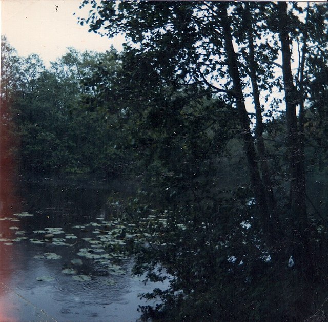
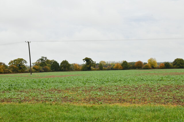
Hingham Plantation, located in Norfolk, England, is a serene and picturesque woodland area known for its natural beauty and historical significance. Covering an expansive area, this plantation is a haven for nature enthusiasts, offering a diverse range of flora and fauna.
The woodland is predominantly composed of deciduous trees such as oak, beech, and birch, creating a lush and vibrant environment throughout the year. The forest floor is adorned with a rich tapestry of wildflowers, including bluebells and primroses, adding bursts of color to the landscape.
Hingham Plantation boasts a network of well-maintained walking trails, allowing visitors to explore and immerse themselves in the peaceful ambiance of the forest. These trails offer opportunities for leisurely strolls, jogging, or even birdwatching, with the area being home to a variety of bird species, including woodpeckers and owls.
The plantation also holds historical significance, as it was once part of a larger estate owned by the influential Hingham family. The remnants of their grand ancestral home, Hingham Hall, can still be seen within the woodland, providing a glimpse into the region's past.
In addition to its natural and historical attractions, Hingham Plantation offers amenities such as picnic areas and designated spots for camping, making it an ideal destination for families and outdoor enthusiasts.
Overall, Hingham Plantation in Norfolk is a captivating destination, offering a perfect blend of natural beauty, tranquility, and historical charm.
If you have any feedback on the listing, please let us know in the comments section below.
Hingham Plantation Images
Images are sourced within 2km of 52.585349/0.94459682 or Grid Reference TF9902. Thanks to Geograph Open Source API. All images are credited.


Hingham Plantation is located at Grid Ref: TF9902 (Lat: 52.585349, Lng: 0.94459682)
Administrative County: Norfolk
District: Breckland
Police Authority: Norfolk
What 3 Words
///drifting.author.resembles. Near Hingham, Norfolk
Nearby Locations
Related Wikis
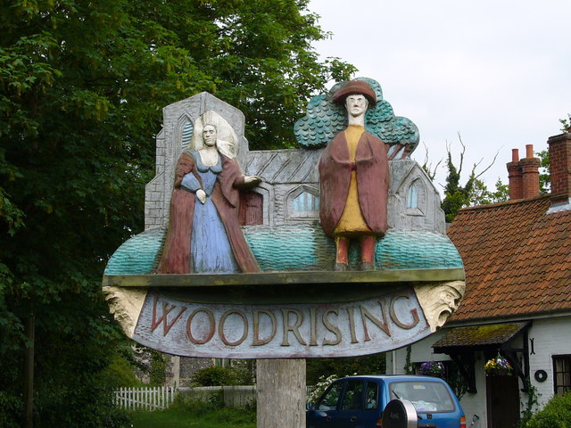
Woodrising, Norfolk
Woodrising is a village and former civil parish, now in the parish of Cranworth, in the Breckland district, in the county of Norfolk, England. The village...

Scoulton Mere
Scoulton Mere is a 34.2-hectare (85-acre) biological Site of Special Scientific Interest west of Wymondham in Norfolk.The principal ecological interest...

Potter's Carr, Cranworth
Potter's Carr, Cranworth is a 6.3-hectare (16-acre) biological Site of Special Scientific Interest south of Dereham in Norfolk.This area of alder carr...

Cranworth
Cranworth is a village and civil parish in the Breckland district of the English county of Norfolk. == History == Cranworth's name is of Anglo-Saxon origin...
Nearby Amenities
Located within 500m of 52.585349,0.94459682Have you been to Hingham Plantation?
Leave your review of Hingham Plantation below (or comments, questions and feedback).