Upper Langsky Belt
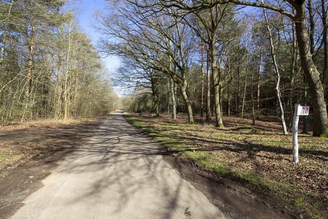
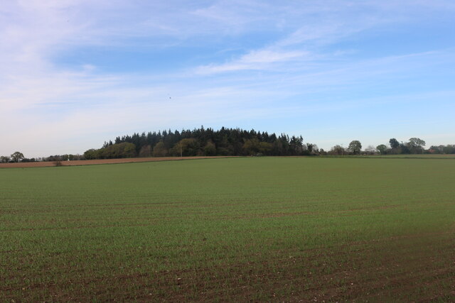
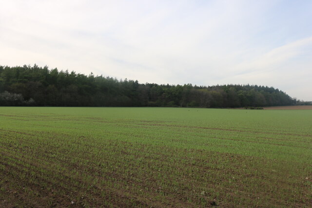
Wood, Forest in Norfolk Breckland
England
Upper Langsky Belt
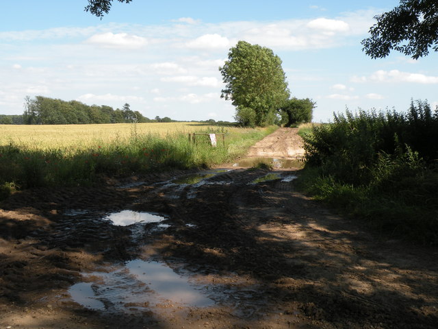
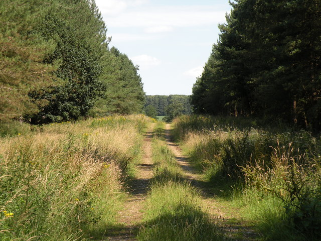
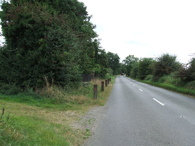
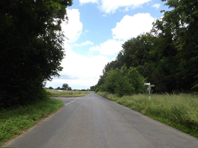
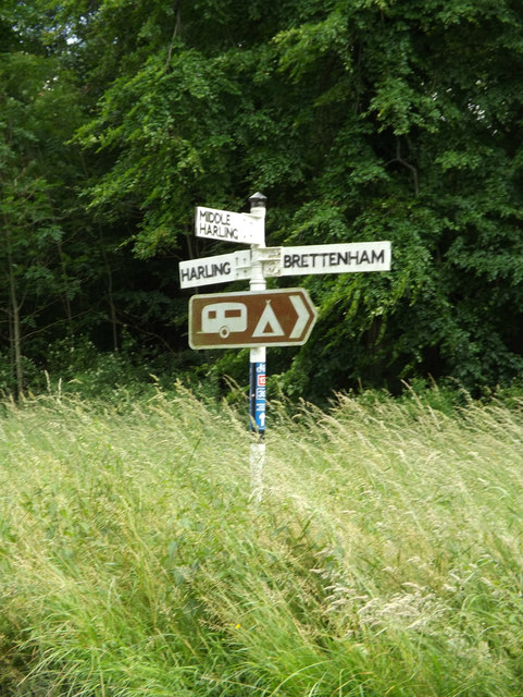
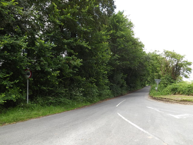
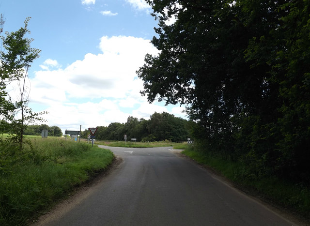
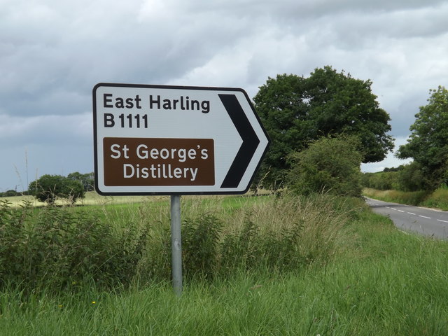
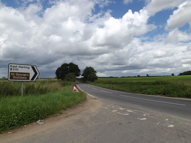
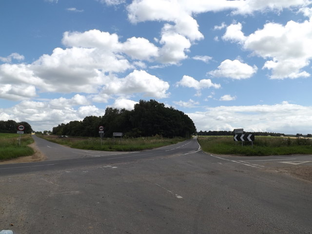
The Upper Langsky Belt in Norfolk, England is a picturesque woodland area renowned for its natural beauty and rich biodiversity. Located in the eastern part of the county, this forested belt spans over several kilometers and is a popular destination for nature enthusiasts and hikers. The woodland is predominantly characterized by a mix of deciduous and coniferous trees, creating a diverse and vibrant ecosystem.
The Upper Langsky Belt is home to a wide range of flora and fauna, including various species of birds, mammals, and insects. Visitors can often spot woodland creatures such as deer, foxes, and squirrels, as well as a variety of bird species like owls and woodpeckers. The forest floor is adorned with an array of wildflowers, adding a splash of color to the serene surroundings.
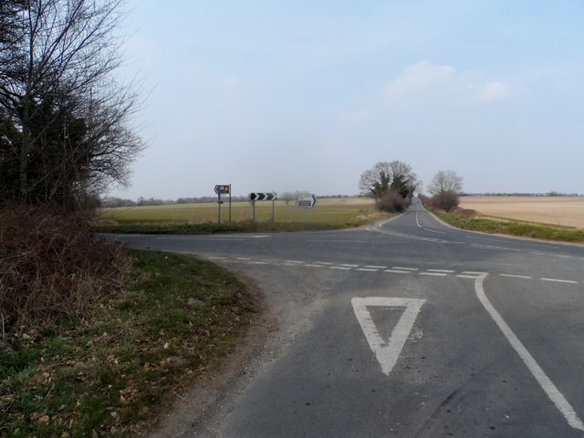
Trails and footpaths weave through the Upper Langsky Belt, providing opportunities for leisurely walks and exploration. These paths are well-maintained, ensuring that visitors can enjoy the natural beauty of the area without disturbing the delicate ecosystem. The forest also features picnic areas and viewpoints, allowing visitors to take in the breathtaking vistas and enjoy a peaceful outdoor experience.
Efforts have been made to preserve the Upper Langsky Belt's natural heritage, with conservation organizations working to protect the woodland and its inhabitants. Educational programs and guided tours are also available, providing visitors with the opportunity to learn about the area's ecology and conservation efforts.
Overall, the Upper Langsky Belt in Norfolk is a haven of natural beauty, offering a tranquil escape for those seeking solace amidst the beauty of nature.
If you have any feedback on the listing, please let us know in the comments section below.
Upper Langsky Belt Images
Images are sourced within 2km of 52.413822/0.93135637 or Grid Reference TL9983. Thanks to Geograph Open Source API. All images are credited.
Upper Langsky Belt is located at Grid Ref: TL9983 (Lat: 52.413822, Lng: 0.93135637)
Administrative County: Norfolk
District: Breckland
Police Authority: Norfolk
What 3 Words
///musically.gave.cheerily. Near East Harling, Norfolk
Nearby Locations
Related Wikis

Middle Harling Fen
Middle Harling Fen is a 11.8-hectare (29-acre) biological Site of Special Scientific Interest south of East Harling in Norfolk. This calcareous valley...

Roman Catholic Diocese of East Anglia
The Diocese of East Anglia (Latin: Dioecesis Angliae Orientalis) is a Latin diocese of the Catholic Church covering the counties of Cambridgeshire, Norfolk...
Garboldisham
Garboldisham () is a village and civil parish in the English county of Norfolk. The village is located 7.1 miles (11.4 km) north-west of Diss and 22 miles...

All Saints Church, West Harling
All Saints Church, West Harling, is a redundant Anglican church in the civil parish of Harling, Norfolk, England. It is recorded in the National Heritage...
Have you been to Upper Langsky Belt?
Leave your review of Upper Langsky Belt below (or comments, questions and feedback).