East Harling Heath

Downs, Moorland in Norfolk Breckland

England

East Harling Heath

Outdoor pig rearing Outdoor pig rearing off The Street
Outdoor pig rearing Credit: P Gaskell

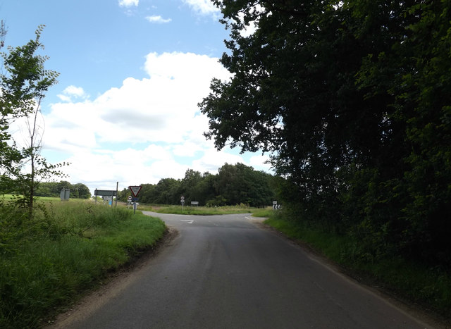
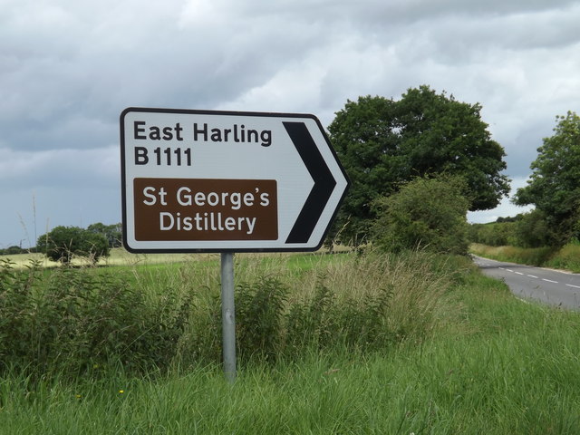
East Harling Heath is a picturesque expanse of nature located in the county of Norfolk, England. Covering an area of approximately 500 acres, this heathland is renowned for its diverse landscape and rich biodiversity. The heath is situated in close proximity to the village of East Harling, providing locals and visitors alike with easy access to this natural gem.

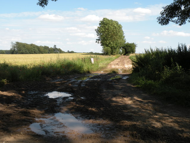
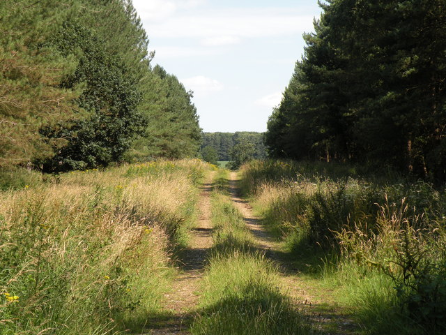
The terrain of East Harling Heath comprises a mix of downs and moorland, offering a unique blend of habitats for a wide range of flora and fauna. The area is characterized by its gently rolling hills, scattered gorse bushes, and patches of heather, which add vibrant hues to the landscape during the summer months.

The heath is home to a variety of plant species, including heather, bell heather, bracken, and bilberry. These plants provide a vital food source for the numerous insects and bird species that inhabit the area. Visitors to East Harling Heath may spot a plethora of birdlife, such as stonechats, linnets, and nightjars. The heathland also supports a population of reptiles, including adders and common lizards, which thrive in the warm, sunny microclimates created by the gorse and heather.

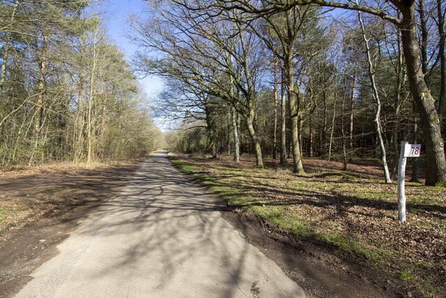
To enhance the experience of those exploring the heath, a network of well-maintained footpaths and trails crisscrosses the area. These paths allow visitors to immerse themselves in the natural beauty of the surroundings while enjoying peaceful walks or engaging in outdoor activities such as birdwatching or photography.

Overall, East Harling Heath is a captivating landscape that showcases the unique flora and fauna of the Norfolk region. With its diverse ecosystems and tranquil ambiance, it offers an ideal escape for nature enthusiasts and those seeking a peaceful retreat in the heart of the countryside.

If you have any feedback on the listing, please let us know in the comments section below.

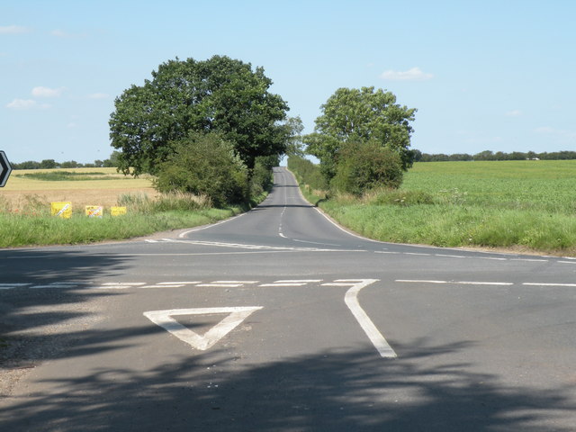
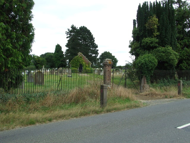
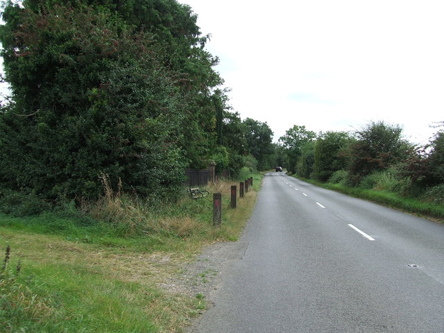
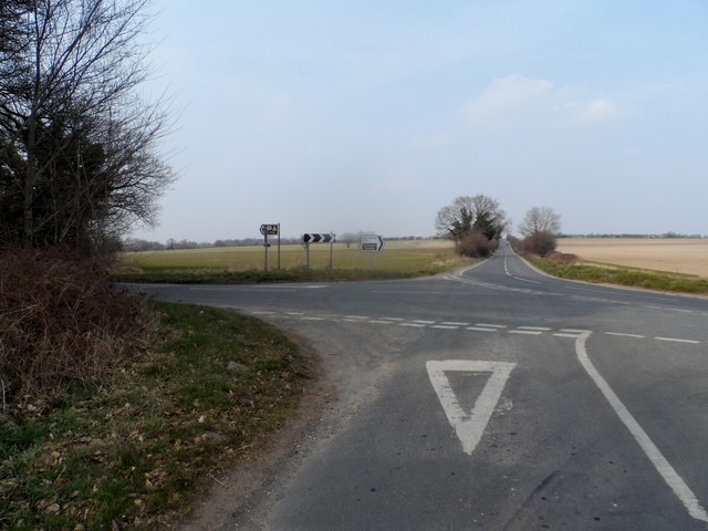
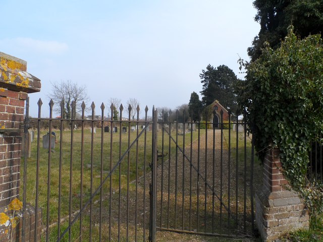
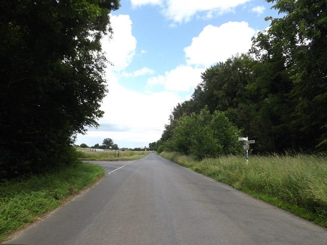
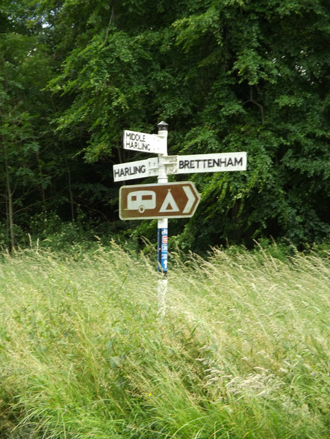
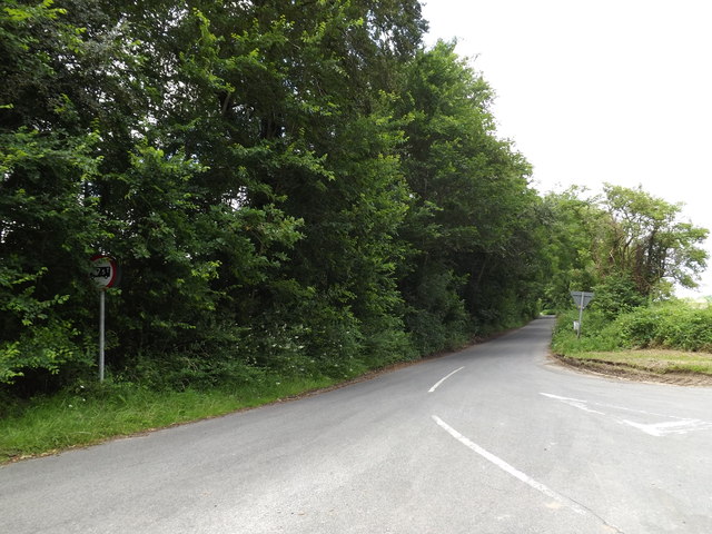
East Harling Heath Images

Images are sourced within 2km of 52.416967/0.92818226 or Grid Reference TL9983. Thanks to Geograph Open Source API. All images are credited.

Outdoor pig rearing Outdoor pig rearing off The Street
Outdoor pig rearing
Outdoor pig rearing off The Street
Plot 78 The Street Plot 78 The Street in Ten Acre Plantation
Plot 78 The Street
Plot 78 The Street in Ten Acre Plantation
A farm track just north of Gasthorpe
Track through Ten Acre Plantation
Road junction on the B1111 Five roads meet at this junction. The road straight ahead is Garboldisham Road and the section in view follows the course of a Roman road.
Road junction on the B1111
Five roads meet at this junction. The road straight ahead is Garboldisham Road and the section in view follows the course of a Roman road.
Lodge Marked on the 1:25:000 OS map as Lodge near to Middle Harling, Norfolk.
Lodge
Marked on the 1:25:000 OS map as Lodge near to Middle Harling, Norfolk.
Middle Farm Building at Middle Farm at Middle Harling, Norfolk.
Middle Farm
Building at Middle Farm at Middle Harling, Norfolk.
Cemetery Cemetery on the Garboldisham Road near to East Harling, Norfolk.
Cemetery
Cemetery on the Garboldisham Road near to East Harling, Norfolk.
Garboldisham Road Garboldisham Road with the cemetery on the left behind the railings near to East Harling, Norfolk. For view of the cemetery see <a title="https://www.geograph.org.uk/photo/3137647" href="https://www.geograph.org.uk/photo/3137647">Link</a>
Garboldisham Road
Garboldisham Road with the cemetery on the left behind the railings near to East Harling, Norfolk. For view of the cemetery see Link
Junction of B1111 with minor road near Seventeen Acre Plantation
Garboldisham Road cemetery
Livestock building near Middle Harling
Pig-farming near Middle Harling There are quite large numbers of pigs locally, and most could be called outdoor-reared.
Pig-farming near Middle Harling
There are quite large numbers of pigs locally, and most could be called outdoor-reared.
West Harling Road, Middle Harling At the junction with West Harling Road
West Harling Road, Middle Harling
At the junction with West Harling Road
Roadsign on West Harling Road At the junction with West Harling Road
Roadsign on West Harling Road
At the junction with West Harling Road
West Harling Road, Middle Harling At the junction with West Harling Road
West Harling Road, Middle Harling
At the junction with West Harling Road
West Harling Road, Middle Harling At the junction with the B1111 Garboldisham Road & B1111 Harling Road
West Harling Road, Middle Harling
At the junction with the B1111 Garboldisham Road & B1111 Harling Road
Roadsign on West Harling Road At the junction with the B1111 Garboldisham Road, B1111 Harling Road & The Street
Roadsign on West Harling Road
At the junction with the B1111 Garboldisham Road, B1111 Harling Road & The Street
Show me another place!

East Harling Heath is located at Grid Ref: TL9983 (Lat: 52.416967, Lng: 0.92818226)

Administrative County: Norfolk

District: Breckland

Police Authority: Norfolk

What 3 Words

///depending.steers.careful. Near East Harling, Norfolk

Related Wikis

Middle Harling Fen

Middle Harling Fen is a 11.8-hectare (29-acre) biological Site of Special Scientific Interest south of East Harling in Norfolk. This calcareous valley...

All Saints Church, West Harling

All Saints Church, West Harling, is a redundant Anglican church in the civil parish of Harling, Norfolk, England. It is recorded in the National Heritage...

Roman Catholic Diocese of East Anglia

The Diocese of East Anglia (Latin: Dioecesis Angliae Orientalis) is a Latin diocese of the Catholic Church covering the counties of Cambridgeshire, Norfolk...

East Harling

East Harling is a village in the civil parish of Harling, in the Breckland district, in the county of Norfolk, England. It is the principal settlement...

Nearby Amenities

Located within 500m of 52.416967,0.92818226
Pipeline: marker
Substance: oil
Lat/Long: 52.4156923/0.9212982
Pipeline: marker
Substance: oil
Lat/Long: 52.4174138/0.9224918
Pipeline: marker
Ref: 00043
Substance: oil
Lat/Long: 52.41874/0.9236183
Barrier: bar
Lat/Long: 52.4201001/0.9242138
Pipeline: marker
Ref: 00045
Substance: oil
Lat/Long: 52.4188068/0.9237417
Pipeline: marker
Ref: 00044
Substance: oil
Lat/Long: 52.4187543/0.9236418
Pipeline: marker
Ref: 00046
Substance: oil
Lat/Long: 52.41881/0.9237605
Pipeline: marker
Ref: TL98019
Substance: gas
Lat/Long: 52.4177487/0.9227493
The data included in this document is from www.openstreetmap.org. The data is made available under ODbL.

Have you been to East Harling Heath?

Leave your review of East Harling Heath below (or comments, questions and feedback).