Lower Langsky Belt
Wood, Forest in Norfolk Breckland
England
Lower Langsky Belt
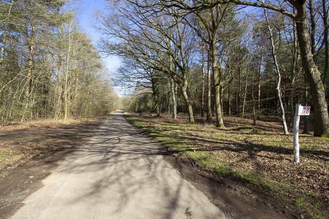
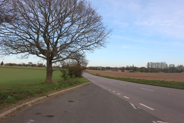
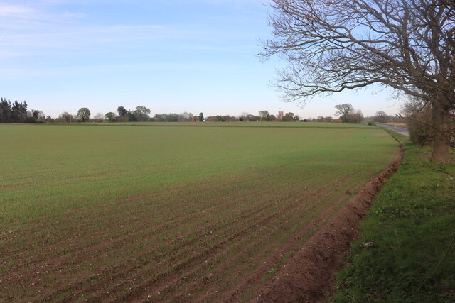
Lower Langsky Belt is a wood located in Norfolk, England. This forested area spans over a vast expanse, providing a serene and picturesque landscape for visitors. The woodland is situated in the eastern part of Norfolk, near the village of Langsky, and covers an area of approximately 200 acres.
Lower Langsky Belt boasts an impressive variety of tree species, including oak, beech, and birch. The majestic trees create a dense canopy, offering ample shade and shelter for a variety of wildlife. The forest floor is covered with a lush carpet of moss, ferns, and wildflowers, adding to the enchanting atmosphere of the wood.
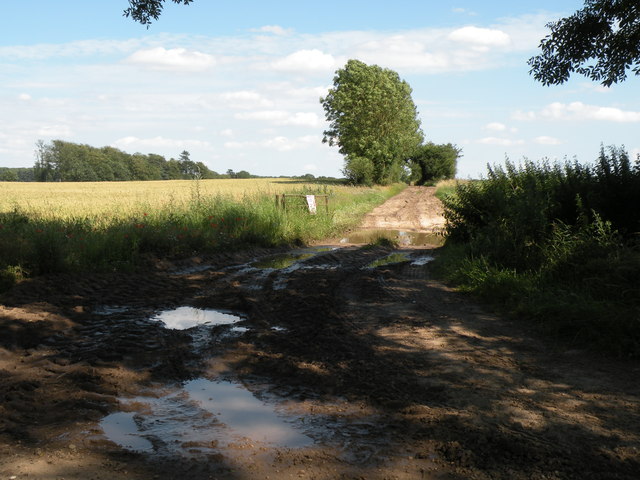
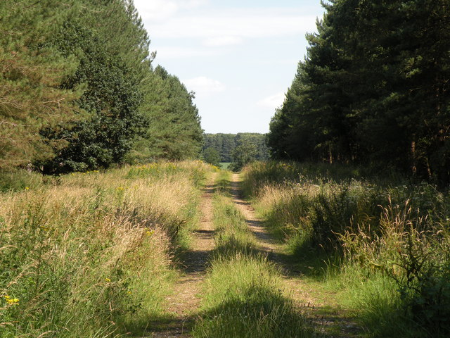
Visitors to Lower Langsky Belt can enjoy numerous recreational activities, such as walking, hiking, and birdwatching. The well-maintained trails meander through the forest, allowing visitors to explore the diverse flora and fauna that call this woodland home. Bird enthusiasts will be delighted by the various species that inhabit the area, including woodpeckers, owls, and numerous songbirds.
The tranquil ambiance of Lower Langsky Belt is perfect for those seeking a peaceful retreat in nature. The forest provides a haven for wildlife, with sightings of deer, rabbits, and squirrels being common. Nature lovers can also spot a wide range of butterflies and insects fluttering amongst the wildflowers.
Overall, Lower Langsky Belt is a breathtaking woodland in Norfolk, offering a delightful escape from the hustle and bustle of everyday life. With its stunning scenery, diverse wildlife, and numerous recreational opportunities, it is a must-visit destination for both locals and tourists alike.
If you have any feedback on the listing, please let us know in the comments section below.
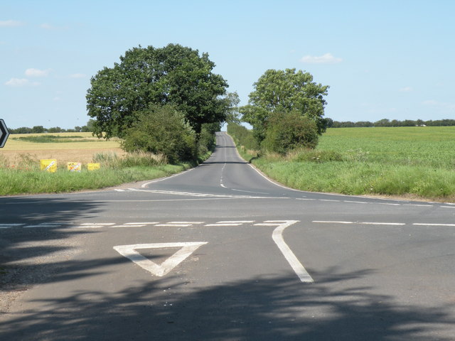
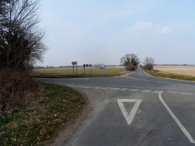
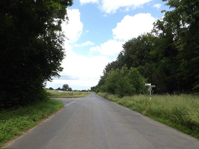
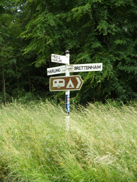
Lower Langsky Belt Images
Images are sourced within 2km of 52.411825/0.93029737 or Grid Reference TL9983. Thanks to Geograph Open Source API. All images are credited.


Lower Langsky Belt is located at Grid Ref: TL9983 (Lat: 52.411825, Lng: 0.93029737)
Administrative County: Norfolk
District: Breckland
Police Authority: Norfolk
What 3 Words
///estate.skewing.shaver. Near East Harling, Norfolk
Nearby Locations
Related Wikis

Middle Harling Fen
Middle Harling Fen is a 11.8-hectare (29-acre) biological Site of Special Scientific Interest south of East Harling in Norfolk.This calcareous valley fen...

Roman Catholic Diocese of East Anglia
The Diocese of East Anglia (Latin: Dioecesis Angliae Orientalis) is a Latin diocese of the Catholic Church covering the counties of Cambridgeshire, Norfolk...
Garboldisham
Garboldisham () is a village and civil parish in the English county of Norfolk. The village is located 7.1 miles (11.4 km) north-west of Diss and 22 miles...

All Saints Church, West Harling
All Saints Church, West Harling, is a redundant Anglican church in the civil parish of Harling, Norfolk, England. It is recorded in the National Heritage...
Have you been to Lower Langsky Belt?
Leave your review of Lower Langsky Belt below (or comments, questions and feedback).