Garboldisham Belt
Wood, Forest in Norfolk Breckland
England
Garboldisham Belt
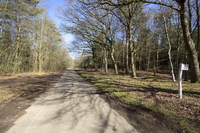
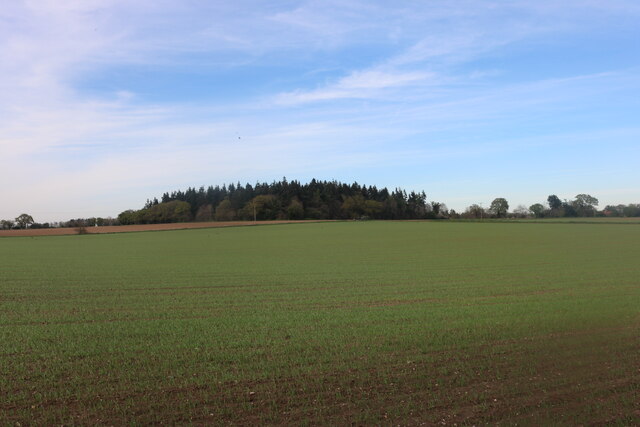
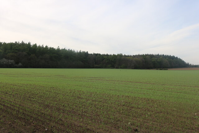
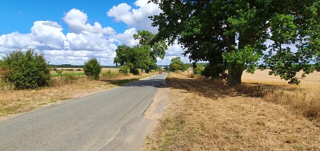
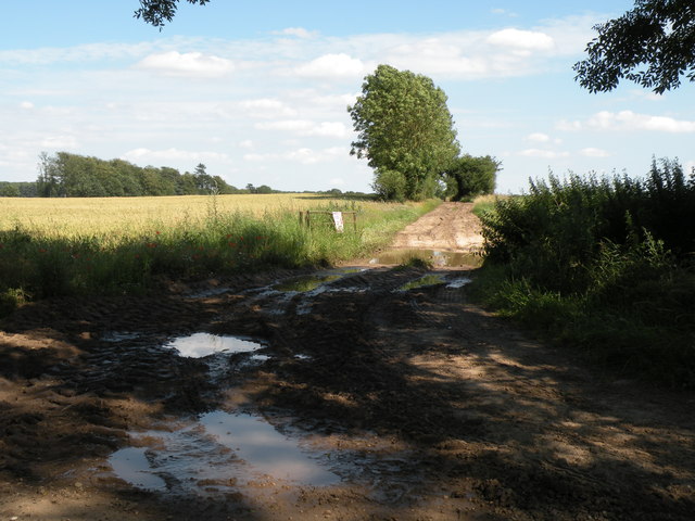
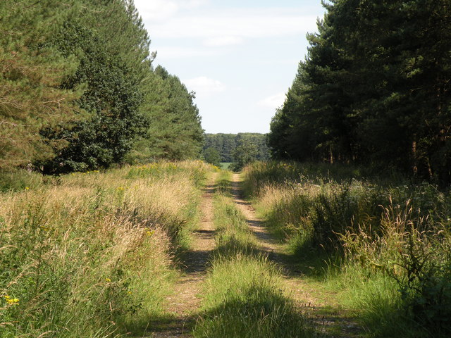
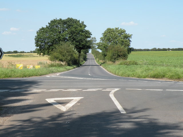
Garboldisham Belt is a woodland area located in the county of Norfolk, England. Covering an approximate area of 200 acres, it is situated near the village of Garboldisham, about 10 miles southeast of the town of Thetford. The belt is part of the larger Breckland region, known for its unique mix of heathland, grassland, and woodland habitats.
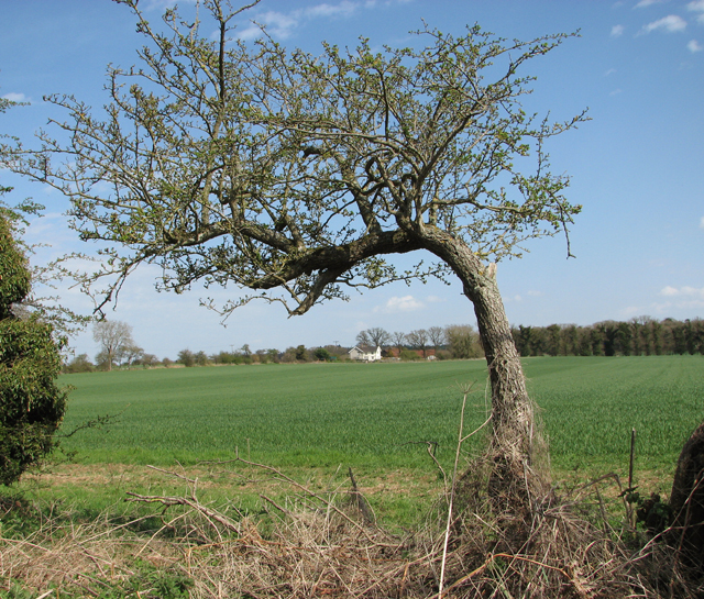
The woodlands in Garboldisham Belt consist mainly of native broadleaf trees, such as oak, ash, beech, and birch. These trees create a dense canopy, providing a haven for a variety of wildlife species. The woodland floor is rich in flora, with an array of wildflowers, ferns, and mosses thriving in the damp and shaded conditions.
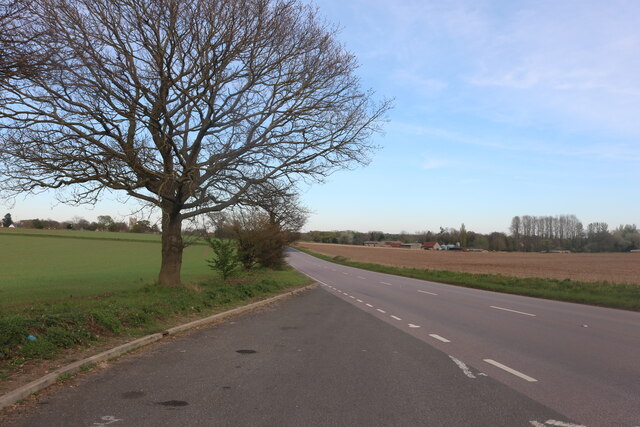
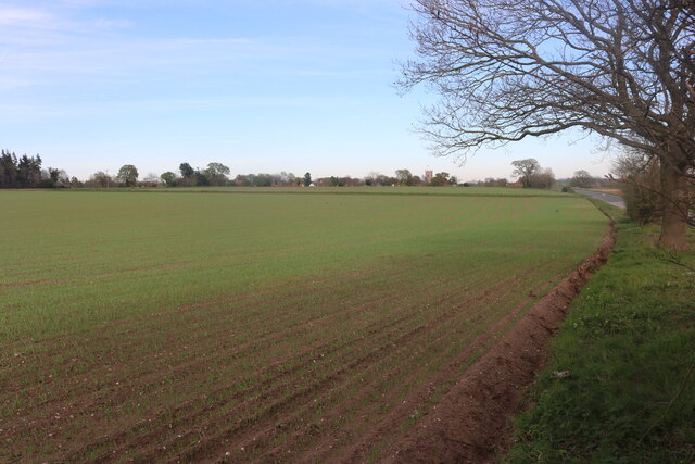
This woodland area is popular among nature enthusiasts and walkers who enjoy exploring its network of footpaths and trails. The Garboldisham Belt also offers opportunities for wildlife observation, with sightings of woodland birds, mammals, and insects being common. The woods are particularly known for their population of red squirrels, which have become increasingly rare in many parts of the UK.
In addition to its natural beauty, the Garboldisham Belt has historical significance as well. The area has evidence of ancient settlements, including earthworks and burial mounds, dating back to the Iron Age. These archaeological features add to the cultural and historical value of the woodlands.
Overall, Garboldisham Belt is a cherished woodland area in Norfolk, offering a tranquil escape into nature and providing a habitat for diverse wildlife.
If you have any feedback on the listing, please let us know in the comments section below.
Garboldisham Belt Images
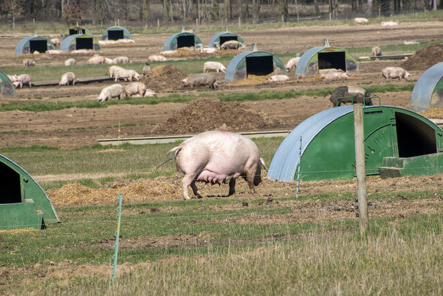
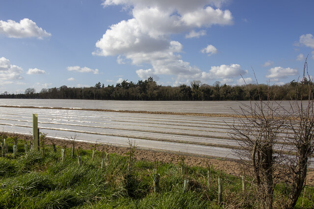
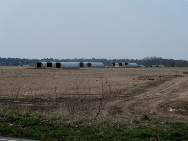
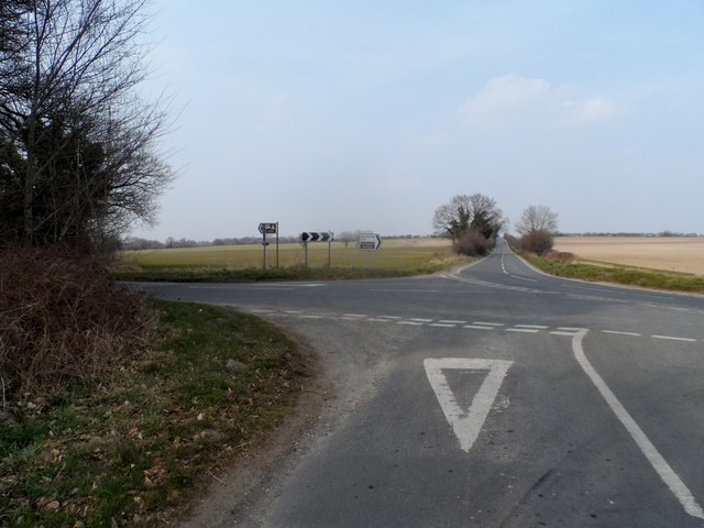
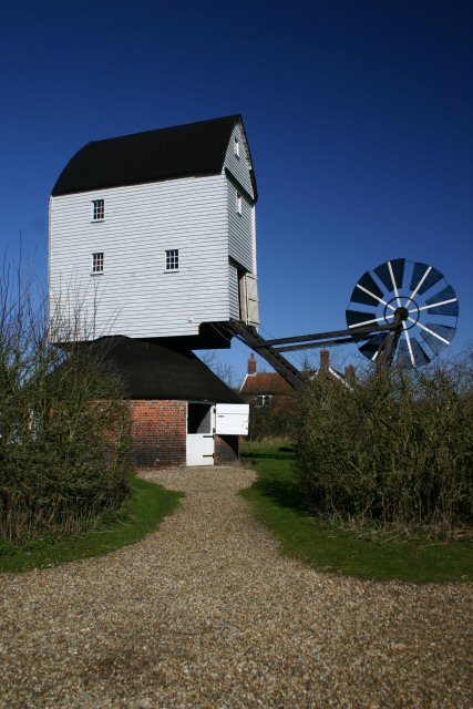
Images are sourced within 2km of 52.407778/0.92013256 or Grid Reference TL9882. Thanks to Geograph Open Source API. All images are credited.


Garboldisham Belt is located at Grid Ref: TL9882 (Lat: 52.407778, Lng: 0.92013256)
Administrative County: Norfolk
District: Breckland
Police Authority: Norfolk
What 3 Words
///tests.graduated.lifeguard. Near East Harling, Norfolk
Nearby Locations
Related Wikis

Roman Catholic Diocese of East Anglia
The Diocese of East Anglia (Latin: Dioecesis Angliae Orientalis) is a Latin diocese of the Catholic Church covering the counties of Cambridgeshire, Norfolk...

Riddlesworth
Riddlesworth is a civil parish in the English county of Norfolk. It covers an area of 8.26 km2 (3.19 sq mi) and had a population of 147 in 48 households...
Garboldisham
Garboldisham () is a village and civil parish in the English county of Norfolk. The village is located 7.1 miles (11.4 km) north-west of Diss and 22 miles...

Middle Harling Fen
Middle Harling Fen is a 11.8-hectare (29-acre) biological Site of Special Scientific Interest south of East Harling in Norfolk.This calcareous valley fen...
Nearby Amenities
Located within 500m of 52.407778,0.92013256Have you been to Garboldisham Belt?
Leave your review of Garboldisham Belt below (or comments, questions and feedback).