Chalkpit Belt
Wood, Forest in Norfolk Breckland
England
Chalkpit Belt
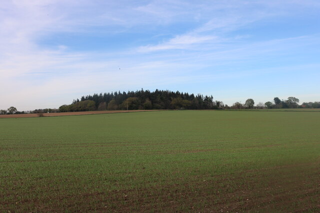
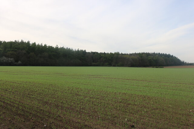
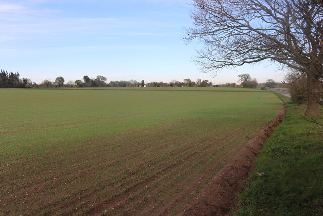
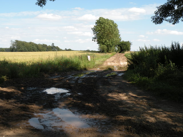
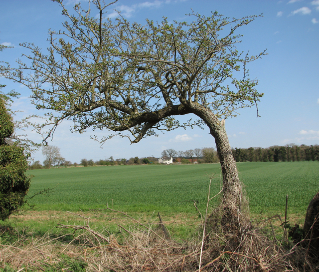
Chalkpit Belt is a small woodland area located in Norfolk, England. Situated near the village of Wood, this forested area covers approximately 10 acres of land. The woodland is known for its diverse range of trees, including oak, beech, and birch, which create a picturesque and serene environment.
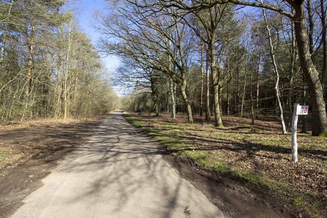
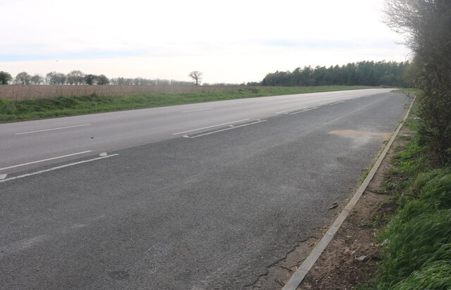
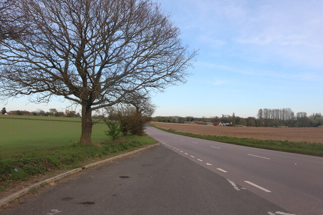
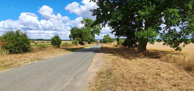
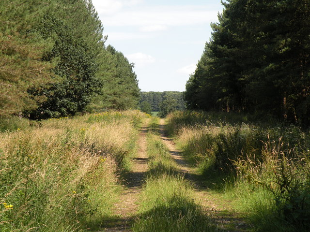
Chalkpit Belt is easily accessible and provides a scenic walking route for nature enthusiasts and hikers. The forest is intersected by a well-maintained footpath, allowing visitors to explore the woodland at their own pace. Along the way, they can admire the beautiful flora and fauna that thrive within the forest.
One notable feature of Chalkpit Belt is the presence of chalk pits, which give the woodland its name. These chalk pits were historically used for mining chalk, which was a valuable resource for construction and agriculture. Today, these pits serve as reminders of the area's industrial past, adding a unique element to the woodland's charm.
The woodland is also home to a variety of wildlife, including deer, foxes, and numerous bird species. Birdwatchers often visit Chalkpit Belt, as it offers an excellent opportunity to observe and appreciate the local avian population.
Overall, Chalkpit Belt in Norfolk is a tranquil and enchanting woodland, providing visitors with a chance to immerse themselves in nature and enjoy the beauty of the natural world.
If you have any feedback on the listing, please let us know in the comments section below.
Chalkpit Belt Images
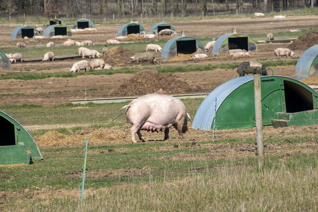
Images are sourced within 2km of 52.402829/0.91367433 or Grid Reference TL9882. Thanks to Geograph Open Source API. All images are credited.


Chalkpit Belt is located at Grid Ref: TL9882 (Lat: 52.402829, Lng: 0.91367433)
Administrative County: Norfolk
District: Breckland
Police Authority: Norfolk
What 3 Words
///intervene.shelving.presenter. Near East Harling, Norfolk
Nearby Locations
Related Wikis

Roman Catholic Diocese of East Anglia
The Diocese of East Anglia (Latin: Dioecesis Angliae Orientalis) is a Latin diocese of the Catholic Church covering the counties of Cambridgeshire, Norfolk...

Riddlesworth
Riddlesworth is a civil parish in the English county of Norfolk. It covers an area of 8.26 km2 (3.19 sq mi) and had a population of 147 in 48 households...

Riddlesworth Hall
Riddlesworth Hall is a country house, and was formerly used as a boarding school. It is located in Riddlesworth, Norfolk, England. == History == It was...

Knettishall
Knettishall is a village and civil parish in the West Suffolk district of Suffolk in eastern England. Located on the south bank of the River Little Ouse...
Nearby Amenities
Located within 500m of 52.402829,0.91367433Have you been to Chalkpit Belt?
Leave your review of Chalkpit Belt below (or comments, questions and feedback).