Mill Grove
Wood, Forest in Essex Colchester
England
Mill Grove
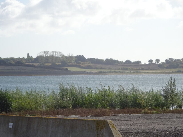
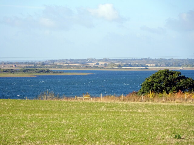
Mill Grove is a quaint village located in the county of Essex, in the southeastern part of England. Situated amidst the beautiful woodlands and forests of the region, it offers a peaceful and serene environment for its residents. The village is known for its natural beauty, with lush greenery and scenic views that attract nature enthusiasts and outdoor lovers.
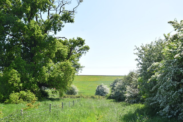
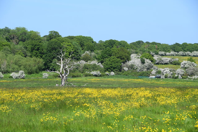
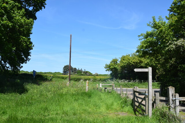
The woodlands surrounding Mill Grove are home to a diverse range of flora and fauna, making it a popular destination for hiking, birdwatching, and nature walks. The ancient trees and well-maintained trails provide ample opportunities for exploration and relaxation. The forested areas also offer a tranquil setting for picnics and family outings.
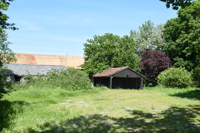
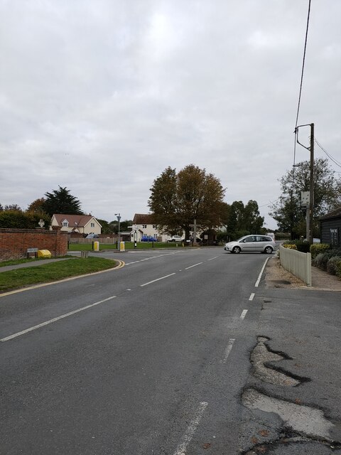
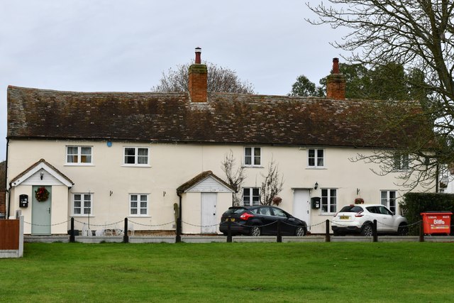
The village itself is characterized by its traditional architecture, with charming cottages and houses dotted along its narrow streets. The local community is close-knit and friendly, fostering a warm and welcoming atmosphere. Mill Grove has a small but vibrant town center, with a few shops, cafes, and pubs that cater to the needs of its residents.
The village is well-connected to nearby towns and cities, with good transport links and easy access to major roadways. This allows residents to enjoy the tranquility of village life while also having convenient access to urban amenities and services.
Overall, Mill Grove, Essex (Wood, Forest) offers a peaceful and picturesque setting, making it an ideal place for those seeking a rural retreat amidst nature's beauty.
If you have any feedback on the listing, please let us know in the comments section below.
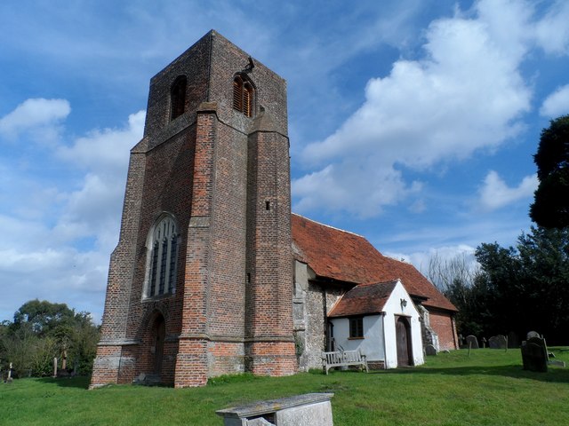
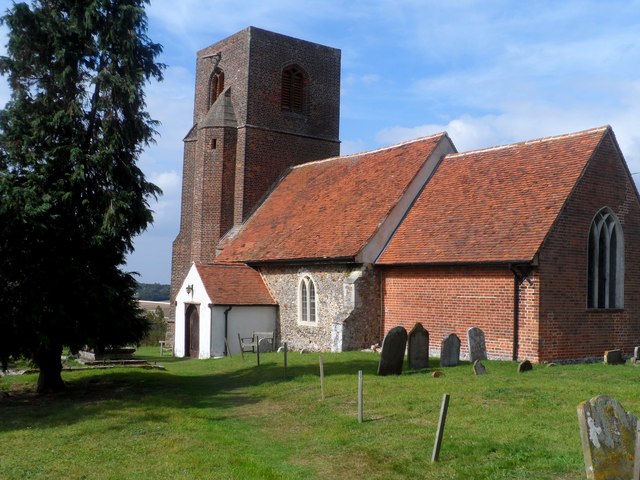
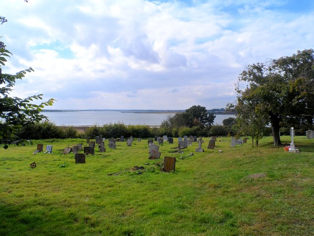
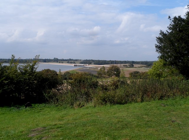
Mill Grove Images
Images are sourced within 2km of 51.848008/0.87764242 or Grid Reference TL9820. Thanks to Geograph Open Source API. All images are credited.


Mill Grove is located at Grid Ref: TL9820 (Lat: 51.848008, Lng: 0.87764242)
Administrative County: Essex
District: Colchester
Police Authority: Essex
What 3 Words
///gently.clues.owner. Near Layer de la Haye, Essex
Nearby Locations
Related Wikis

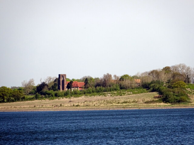
Roman River Valley
Roman River Valley is a 17.8-hectare (44-acre) nature reserve north of Layer de la Haye in Essex. It is managed by the Essex Wildlife Trust.This wetland...

Roman River SSSI
Roman River is a 275.6-hectare (681-acre) biological Site of Special Scientific Interest (SSSI) south of Colchester in Essex. Two areas, Friday Wood and...

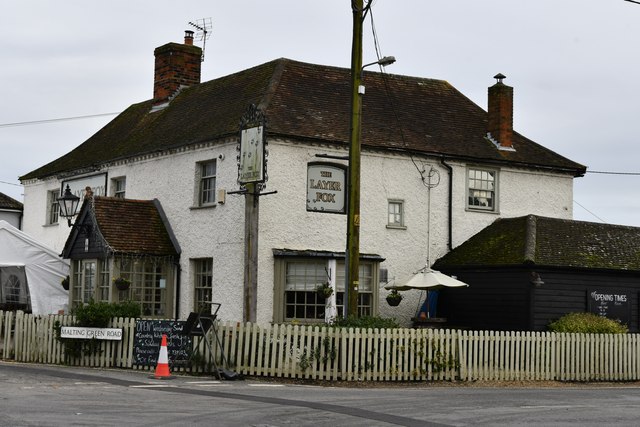
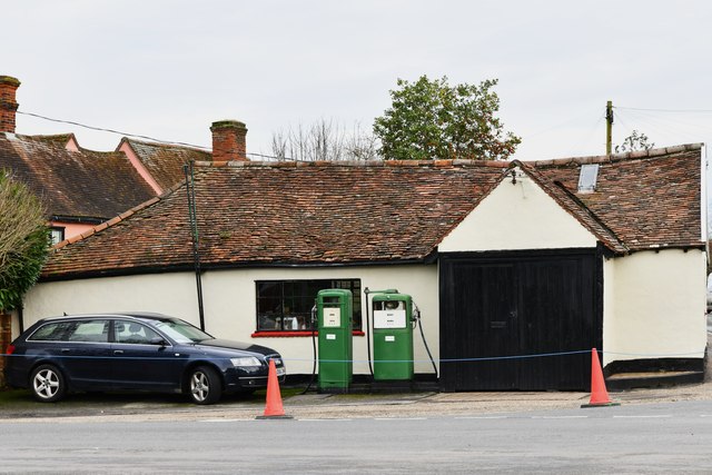
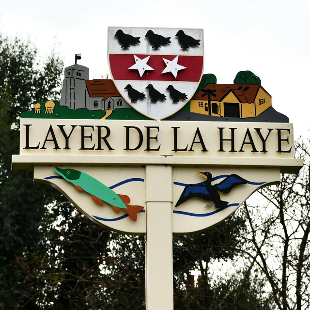
Layer de la Haye
Layer de la Haye (often spelled Layer-de-la-Haye; locally known just as Layer) is a village and civil parish in the City of Colchester district of Essex...

St Michael's Church, Berechurch
St Michael's Church is a redundant Anglican church in the village of Berechurch, Essex, England. It is recorded in the National Heritage List for England...
Nearby Amenities
Located within 500m of 51.848008,0.87764242Have you been to Mill Grove?
Leave your review of Mill Grove below (or comments, questions and feedback).