Devil's Ditch

Heritage Site in Norfolk Breckland

England

Devil's Ditch

Garboldisham Church
Garboldisham Church Credit: P Gaskell

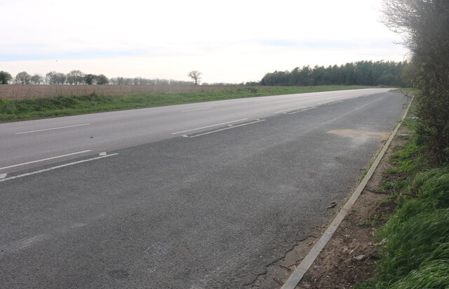
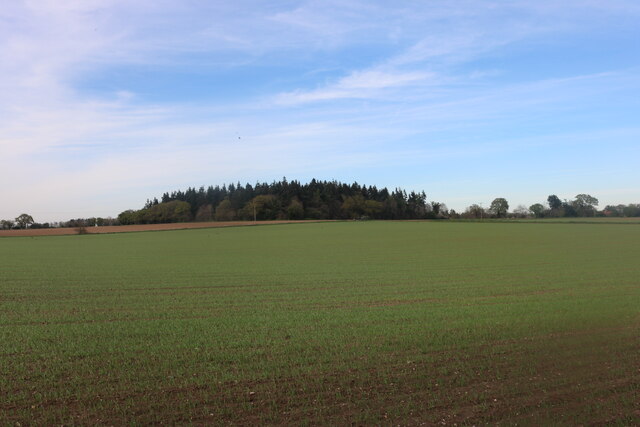
Devil's Ditch, located in Norfolk, England, is a historically significant heritage site that dates back to the Iron Age. It is an impressive earthwork that stretches over 7 miles across the countryside, making it one of the largest and most well-preserved defensive structures of its kind in the country. The ditch consists of a deep trench with an accompanying bank on one side, creating a formidable barrier that would have served as a boundary or defensive fortification for the local community.

The origins of Devil's Ditch can be traced back to around 500 BC, during the Iron Age, and it is believed to have been constructed by the local Celtic tribes. The purpose of the ditch is still a matter of debate among historians and archaeologists. Some theories suggest that it served as a territorial boundary, while others argue that it was primarily a defensive structure to protect against potential invaders.

The ditch itself is an impressive sight, measuring up to 9 meters wide and 3 meters deep in some parts. It cuts through the landscape, creating a visible scar on the countryside. The accompanying bank on the inner side of the ditch would have provided additional height and protection.

Today, Devil's Ditch is a popular destination for history enthusiasts, hikers, and nature lovers alike. The site offers beautiful views of the surrounding countryside and provides a unique opportunity to explore and appreciate an ancient monument that has stood the test of time.

If you have any feedback on the listing, please let us know in the comments section below.

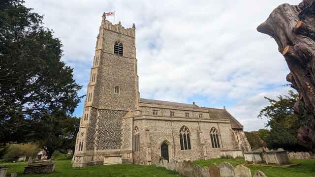
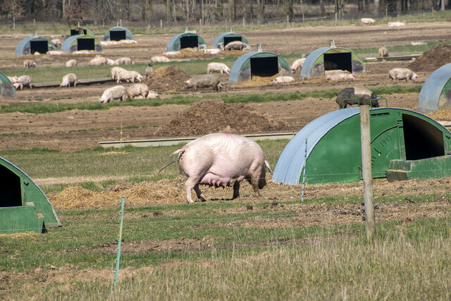
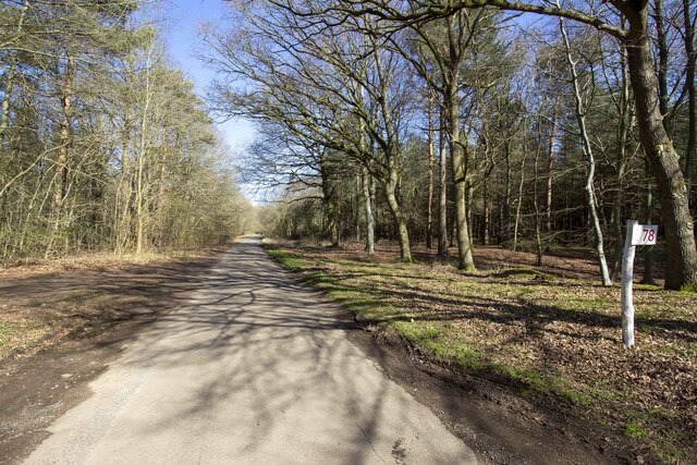
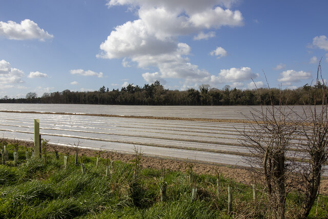
Devil's Ditch Images

Images are sourced within 2km of 52.403/0.918 or Grid Reference TL9882. Thanks to Geograph Open Source API. All images are credited.

Garboldisham Church
Garboldisham Church
St John the Baptist church, Garboldisham
Interior of St John the Baptist church, Garboldisham
Stained glass war memorial in Garboldisham church Dedicated to Major George Frederick Molyneux-Montgomerie, killed in France, 22nd October 1915
Stained glass war memorial in Garboldisham church
Dedicated to Major George Frederick Molyneux-Montgomerie, killed in France, 22nd October 1915
War memorial inside Garboldisham church
War memorial for Arthur Lewis Kennaway inside Garboldisham church Died near Suvla Bay, Gallipoli, 21st August 1915
War memorial for Arthur Lewis Kennaway inside Garboldisham church
Died near Suvla Bay, Gallipoli, 21st August 1915
War memorial for Arthur Clare Atkins inside Garboldisham church Died on the HMS Indefatigable in the Battle of Jutland, 31st May 1916.
War memorial for Arthur Clare Atkins inside Garboldisham church
Died on the HMS Indefatigable in the Battle of Jutland, 31st May 1916.
WW2 memorial font inside Garboldisham church Restored in thanksgiving for the safe return of all parishioners from WW2.
WW2 memorial font inside Garboldisham church
Restored in thanksgiving for the safe return of all parishioners from WW2.
Font at Church of St. John The Baptist, Garboldisham <span class="nowrap"><a title="https://historicengland.org.uk/listing/the-list/list-entry/1306996?section=official-list-entry" rel="nofollow ugc noopener" href="https://historicengland.org.uk/listing/the-list/list-entry/1306996?section=official-list-entry">Link</a><img style="margin-left:2px;" alt="External link" title="External link - shift click to open in new window" src="https://s1.geograph.org.uk/img/external.png" width="10" height="10"/></span>
Font at Church of St. John The Baptist, Garboldisham
Interior of Church of St. John The Baptist, Garboldisham <span class="nowrap"><a title="https://historicengland.org.uk/listing/the-list/list-entry/1306996?section=official-list-entry" rel="nofollow ugc noopener" href="https://historicengland.org.uk/listing/the-list/list-entry/1306996?section=official-list-entry">Link</a><img style="margin-left:2px;" alt="External link" title="External link - shift click to open in new window" src="https://s1.geograph.org.uk/img/external.png" width="10" height="10"/></span>
Interior of Church of St. John The Baptist, Garboldisham
Chapel Screen at Church of St. John The Baptist, Garboldisham <span class="nowrap"><a title="https://historicengland.org.uk/listing/the-list/list-entry/1306996?section=official-list-entry" rel="nofollow ugc noopener" href="https://historicengland.org.uk/listing/the-list/list-entry/1306996?section=official-list-entry">Link</a><img style="margin-left:2px;" alt="External link" title="External link - shift click to open in new window" src="https://s1.geograph.org.uk/img/external.png" width="10" height="10"/></span>
Chapel Screen at Church of St. John The Baptist, Garboldisham
Rood Stair at Church of St. John The Baptist, Garboldisham <span class="nowrap"><a title="https://historicengland.org.uk/listing/the-list/list-entry/1306996?section=official-list-entry" rel="nofollow ugc noopener" href="https://historicengland.org.uk/listing/the-list/list-entry/1306996?section=official-list-entry">Link</a><img style="margin-left:2px;" alt="External link" title="External link - shift click to open in new window" src="https://s1.geograph.org.uk/img/external.png" width="10" height="10"/></span>
Rood Stair at Church of St. John The Baptist, Garboldisham
Church of St. John The Baptist, Garboldisham <span class="nowrap"><a title="https://historicengland.org.uk/listing/the-list/list-entry/1306996?section=official-list-entry" rel="nofollow ugc noopener" href="https://historicengland.org.uk/listing/the-list/list-entry/1306996?section=official-list-entry">Link</a><img style="margin-left:2px;" alt="External link" title="External link - shift click to open in new window" src="https://s1.geograph.org.uk/img/external.png" width="10" height="10"/></span>
Church of St. John The Baptist, Garboldisham
Outdoor pig rearing Outdoor pig rearing off The Street
Outdoor pig rearing
Outdoor pig rearing off The Street
Plot 78 The Street Plot 78 The Street in Ten Acre Plantation
Plot 78 The Street
Plot 78 The Street in Ten Acre Plantation
St. John's Covert
St. John's Covert
Layby on Thetford Road, Garboldisham
Field by Thetford Road, Garboldisham
Show me another place!

Devil's Ditch is located at Grid Ref: TL9882 (Lat: 52.403, Lng: 0.918)

Administrative County: Norfolk

District: Breckland

Police Authority: Norfolk

What 3 Words

///strutting.tastings.forever. Near East Harling, Norfolk

Related Wikis

Roman Catholic Diocese of East Anglia

The Diocese of East Anglia (Latin: Dioecesis Angliae Orientalis) is a Latin diocese of the Catholic Church covering the counties of Cambridgeshire, Norfolk...

Riddlesworth

Riddlesworth is a civil parish in the English county of Norfolk. It covers an area of 8.26 km2 (3.19 sq mi) and had a population of 147 in 48 households...

Garboldisham

Garboldisham () is a village and civil parish in the English county of Norfolk. The village is located 7.1 miles (11.4 km) north-west of Diss and 22 miles...

Knettishall

Knettishall is a village and civil parish in the West Suffolk district of Suffolk in eastern England. Located on the south bank of the River Little Ouse...

Nearby Amenities

Located within 500m of 52.403,0.918
Pipeline: marker
Source: Bing;observation
Substance: oil
Lat/Long: 52.4048069/0.9118839
Fixme: incomplete
Lat/Long: 52.4034721/0.9122798
The data included in this document is from www.openstreetmap.org. The data is made available under ODbL.

Have you been to Devil's Ditch?

Leave your review of Devil's Ditch below (or comments, questions and feedback).