Alder Carr

Wood, Forest in Norfolk Breckland

England

Alder Carr

Former Methodist Chapel Former Methodist chapel next to the Watton Road at Larling, Norfolk.
Former Methodist Chapel Credit: Keith Evans

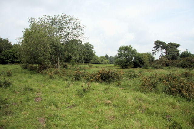
Alder Carr, located in Norfolk, England, is a picturesque woodland area renowned for its lush greenery, diverse wildlife, and tranquil atmosphere. Spanning over a vast expanse, the Carr is primarily composed of alder trees, which thrive in the damp, marshy conditions that are characteristic of the region. These wetlands create a unique environment, attracting various bird species, insects, and small mammals.

The Carr offers a plethora of recreational activities for nature enthusiasts and visitors alike. Hiking trails wind through the woodland, providing opportunities for exploration and discovery. Birdwatchers flock to the area to catch a glimpse of rare and migratory species that call the Carr home, such as the marsh harrier and the bittern. Additionally, the tranquil setting of the Carr makes it a popular spot for nature photography and picnicking.

The woodland is also of great ecological importance. Its wetlands act as a natural filter, helping to maintain water quality and prevent flooding in the surrounding areas. The dense vegetation provides a habitat for numerous plant species, including water lilies and reeds, which contribute to the overall biodiversity of the region.

Visitors to Alder Carr can also take advantage of the educational opportunities available. The woodland hosts workshops and guided tours that aim to educate visitors about the importance of wetland ecosystems and conservation efforts. This educational aspect further enhances the experience of exploring the woodland, allowing visitors to gain a deeper understanding of the delicate balance of nature.

In summary, Alder Carr in Norfolk is a captivating woodland that offers a rich diversity of flora and fauna, stunning scenery, and educational opportunities. Whether it be for leisurely walks, birdwatching, or learning about wetland conservation, Alder Carr provides a rejuvenating and immersive experience for all who visit.

If you have any feedback on the listing, please let us know in the comments section below.
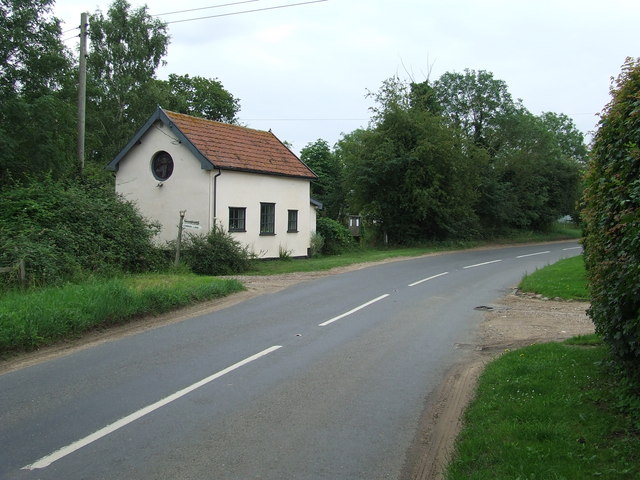
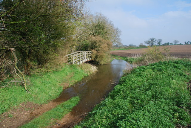
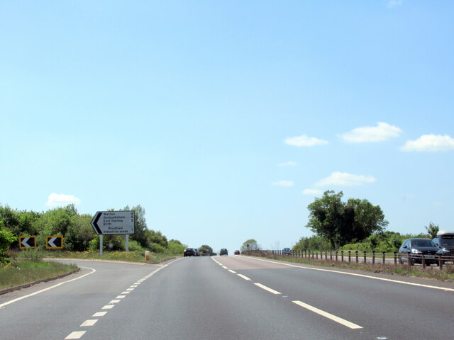
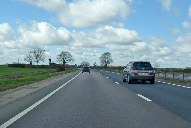
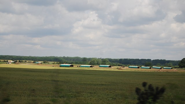
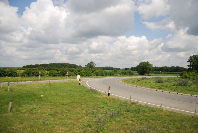
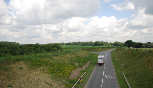
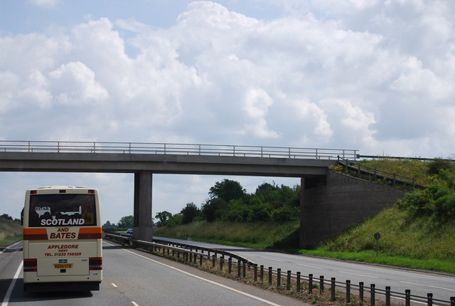
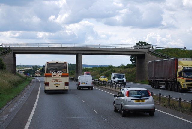
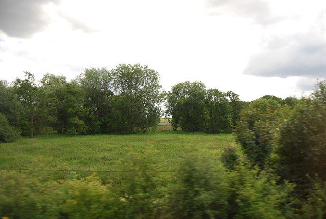
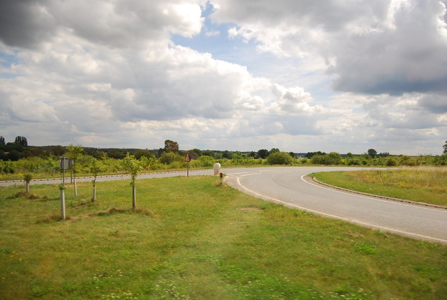
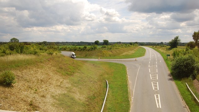
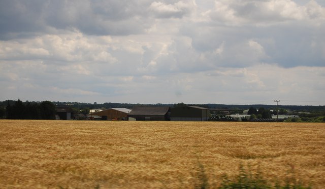
Alder Carr Images

Images are sourced within 2km of 52.46116/0.91832151 or Grid Reference TL9888. Thanks to Geograph Open Source API. All images are credited.

Former Methodist Chapel Former Methodist chapel next to the Watton Road at Larling, Norfolk.
Former Methodist Chapel
Former Methodist chapel next to the Watton Road at Larling, Norfolk.
Snetterton Ford This ford is found on Wash Lane a track between Bradcar Farm and South End, just south of Snetterton
Snetterton Ford
This ford is found on Wash Lane a track between Bradcar Farm and South End, just south of Snetterton
The A11 west at junction with B1111
A11 towards London
A11 towards London
A11 towards London
A11 towards London
A11 towards London Looking through the Sallow Lane bridge.
A11 towards London
Looking through the Sallow Lane bridge.
A Norfolk Postbox NR16 1631. Royal Mail list this box as 'Fen Lane'.
A Norfolk Postbox
NR16 1631. Royal Mail list this box as 'Fen Lane'.
Overy Farm A view of the fields from the railway line near the racecourse.
A change of seasons from this view <a href="https://www.geograph.org.uk/photo/2009269">TL9988 : Overy Farm</a>
Overy Farm
A view of the fields from the railway line near the racecourse. A change of seasons from this view TL9988 : Overy Farm
Happy Pigs Happy pigs near to Larling, Norfolk.
Happy Pigs
Happy pigs near to Larling, Norfolk.
Pig huts
Pig huts
Slip road to the B1111
B1111 to Larling
B1111 to Larling
Sallow Lane Bridge, A11 The A11 is a major road in Eastern England. It runs roughly north east for 111 miles from London to Norwich, With the M11 opening in the 1970s and then the A12 extension in 1999, a lengthy section has been downgraded between the suburbs of east London and the north-west corner of the county of Essex. It also overlaps with the A14 on the Newmarket bypass.
<span class="nowrap"><a title="http://www.sabre-roads.org.uk/wiki/index.php?title=A11" rel="nofollow ugc noopener" href="http://www.sabre-roads.org.uk/wiki/index.php?title=A11">Link</a><img style="margin-left:2px;" alt="External link" title="External link - shift click to open in new window" src="https://s1.geograph.org.uk/img/external.png" width="10" height="10"/></span>
Sallow Lane Bridge, A11
The A11 is a major road in Eastern England. It runs roughly north east for 111 miles from London to Norwich, With the M11 opening in the 1970s and then the A12 extension in 1999, a lengthy section has been downgraded between the suburbs of east London and the north-west corner of the county of Essex. It also overlaps with the A14 on the Newmarket bypass. LinkExternal link
Trees by the A11
Trees by the A11
Slip road to the B1111
B1111 to Harling Rd
B1111 to Harling Rd
Oak House Farm
Oak House Farm
Show me another place!

Alder Carr is located at Grid Ref: TL9888 (Lat: 52.46116, Lng: 0.91832151)

Administrative County: Norfolk

District: Breckland

Police Authority: Norfolk

What 3 Words

///footsteps.preparing.advancing. Near East Harling, Norfolk

Nearby Locations

Larlingford Alder Carr

Related Wikis

Nearby Amenities

Located within 500m of 52.46116,0.91832151
Motorway Junction
Lat/Long: 52.4629464/0.9127468
Post Box
Collection Times: Mo-Fr 16:00; Sa 09:30
Operator: Royal Mail
Post Box Type: lamp
Ref: NR16 1651
Royal Cypher: GVIR
Royal Cypher Wikidata: Q33102169
Lat/Long: 52.4628205/0.9168583
Crossing
Crossing: unmarked
Tactile Paving: no
Lat/Long: 52.4636818/0.9168383
Crossing
Crossing: unmarked
Tactile Paving: no
Lat/Long: 52.4635228/0.9167041
Fixme: incomplete
Lat/Long: 52.4628759/0.9219604
Colour: black
Marker: yes
Pipeline: marker
Ref: TL98013
Substance: gas
Utility: yes
Lat/Long: 52.4629683/0.9205576
Power: pole
Lat/Long: 52.4650715/0.9212261
Material: wood
Power: pole
Lat/Long: 52.4646744/0.919818
Power: pole
Lat/Long: 52.4643182/0.9185681
Location Transition: yes
Power: pole
Lat/Long: 52.4637773/0.9163955
Power: pole
Lat/Long: 52.4639914/0.9173262
Power: pole
Lat/Long: 52.4643329/0.9143382
Power: pole
Lat/Long: 52.4641123/0.9149551
Power: pole
Lat/Long: 52.4638933/0.915556
Location Transition: yes
Material: wood
Power: pole
Lat/Long: 52.4636923/0.9161299
Colour: red and white
Marker: aerial
Utility: gas
Lat/Long: 52.4629067/0.9213672
Milestone
Distance: NORWICH 21 MILES LONDON 88 MILES
Lat/Long: 52.4628247/0.9162672
The data included in this document is from www.openstreetmap.org. The data is made available under ODbL.

Have you been to Alder Carr?

Leave your review of Alder Carr below (or comments, questions and feedback).