Larlingford

Settlement in Norfolk Breckland

England

Larlingford

Former Methodist Chapel Former Methodist chapel next to the Watton Road at Larling, Norfolk.
Former Methodist Chapel Credit: Keith Evans

Larlingford is a small village located in the county of Norfolk, England. Situated approximately 13 miles southwest of Norwich, it falls within the Breckland district. The village is nestled amidst the picturesque Norfolk countryside, with its charming rural setting and tranquil environment.

Larlingford has a rich history that can be traced back to the Domesday Book of 1086. Over the centuries, the village has retained much of its traditional character, with a cluster of period properties and old cottages adorning its streets. The village church, St. Ethelbert's, is a notable landmark that dates back to the 14th century.

Despite its small size, Larlingford offers a close-knit and welcoming community. The village has a lively social scene, with various community events and gatherings taking place throughout the year. The nearby village hall serves as a hub for activities and is utilized for meetings, clubs, and celebrations.

The surrounding countryside offers ample opportunities for outdoor pursuits. Larlingford is located close to Thetford Forest, a vast woodland area that is popular for walking, cycling, and nature exploration. The village is also within easy reach of various historical sites, including the nearby ruins of Castle Acre Priory and Oxburgh Hall.

Although Larlingford is predominantly a residential area, nearby towns and villages provide essential amenities such as shops, schools, and healthcare facilities. The village enjoys good transport links, with regular bus services connecting it to nearby towns and cities.

In summary, Larlingford is a quintessential Norfolk village, offering a peaceful and idyllic setting for residents and visitors alike. Its historical charm, strong community spirit, and access to beautiful countryside make it a desirable place to live or explore.

If you have any feedback on the listing, please let us know in the comments section below.
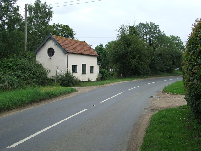
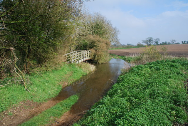
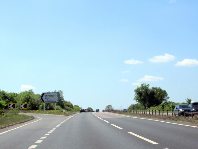
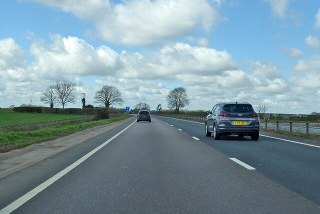
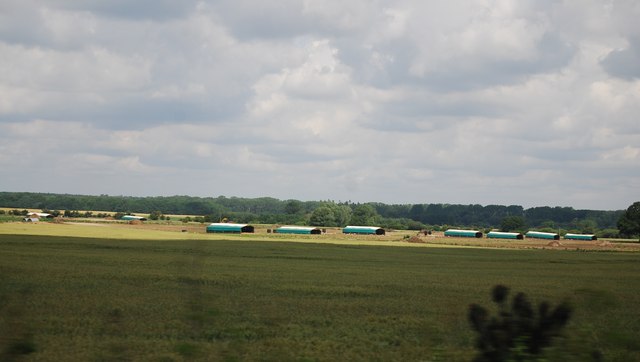
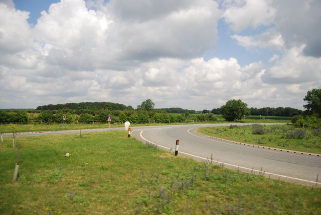
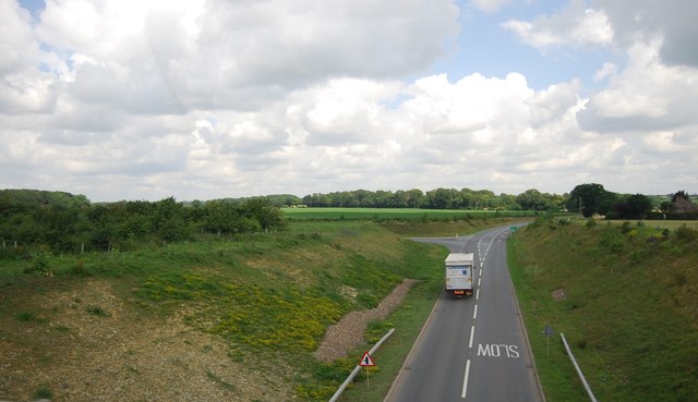
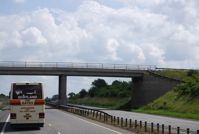
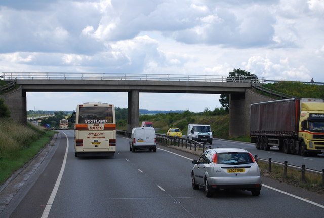
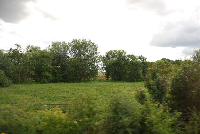
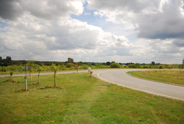
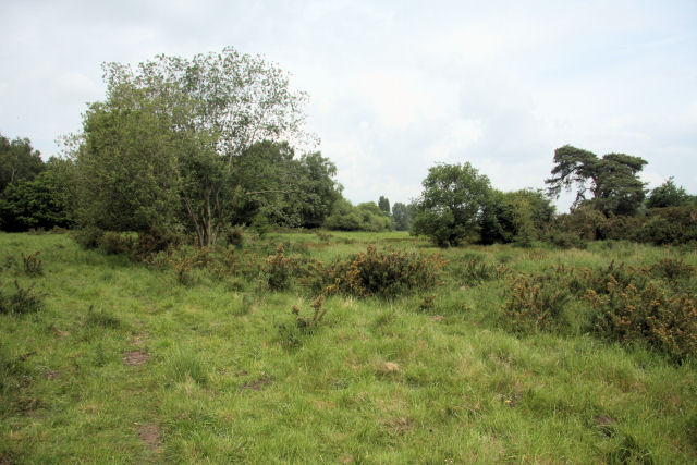
Larlingford Images

Images are sourced within 2km of 52.461209/0.91561576 or Grid Reference TL9888. Thanks to Geograph Open Source API. All images are credited.

Former Methodist Chapel Former Methodist chapel next to the Watton Road at Larling, Norfolk.
Former Methodist Chapel
Former Methodist chapel next to the Watton Road at Larling, Norfolk.
Combine Graveyard Two old and rusting combine harvesters near to Larling, Norfolk.
Combine Graveyard
Two old and rusting combine harvesters near to Larling, Norfolk.
Snetterton Ford This ford is found on Wash Lane a track between Bradcar Farm and South End, just south of Snetterton
Snetterton Ford
This ford is found on Wash Lane a track between Bradcar Farm and South End, just south of Snetterton
The A11 west at junction with B1111
A11 towards London
A11 towards London
A11 towards London
A11 towards London
A11 towards London Looking through the Sallow Lane bridge.
A11 towards London
Looking through the Sallow Lane bridge.
A Norfolk Postbox NR16 1631. Royal Mail list this box as 'Fen Lane'.
A Norfolk Postbox
NR16 1631. Royal Mail list this box as 'Fen Lane'.
Overy Farm A view of the fields from the railway line near the racecourse.
A change of seasons from this view <a href="https://www.geograph.org.uk/photo/2009269">TL9988 : Overy Farm</a>
Overy Farm
A view of the fields from the railway line near the racecourse. A change of seasons from this view TL9988 : Overy Farm
Happy Pigs Happy pigs near to Larling, Norfolk.
Happy Pigs
Happy pigs near to Larling, Norfolk.
Oak tree in a wheat field
Pig huts
Pig huts
Slip road to the B1111
B1111 to Larling
B1111 to Larling
Sallow Lane Bridge, A11 The A11 is a major road in Eastern England. It runs roughly north east for 111 miles from London to Norwich, With the M11 opening in the 1970s and then the A12 extension in 1999, a lengthy section has been downgraded between the suburbs of east London and the north-west corner of the county of Essex. It also overlaps with the A14 on the Newmarket bypass.
<span class="nowrap"><a title="http://www.sabre-roads.org.uk/wiki/index.php?title=A11" rel="nofollow ugc noopener" href="http://www.sabre-roads.org.uk/wiki/index.php?title=A11">Link</a><img style="margin-left:2px;" alt="External link" title="External link - shift click to open in new window" src="https://s1.geograph.org.uk/img/external.png" width="10" height="10"/></span>
Sallow Lane Bridge, A11
The A11 is a major road in Eastern England. It runs roughly north east for 111 miles from London to Norwich, With the M11 opening in the 1970s and then the A12 extension in 1999, a lengthy section has been downgraded between the suburbs of east London and the north-west corner of the county of Essex. It also overlaps with the A14 on the Newmarket bypass. LinkExternal link
Trees by the A11
Trees by the A11
Slip road to the B1111
Show me another place!

Larlingford is located at Grid Ref: TL9888 (Lat: 52.461209, Lng: 0.91561576)

Administrative County: Norfolk

District: Breckland

Police Authority: Norfolk

What 3 Words

///clashes.enthused.ballroom. Near East Harling, Norfolk

Nearby Locations

Larlingford Alder Carr

Related Wikis

Roudham and Larling

Roudham and Larling is a civil parish in the English county of Norfolk. It includes the villages of Roudham and Larling. It covers an area of 15.20 km2...

Larling

Larling is a village and former civil parish, now in the parish of Roudham and Larling, in the Breckland district, in the county of Norfolk, England. The...

Harling Road railway station

Harling Road railway station is on the Breckland line in the east of England, serving the villages of Larling, Roudham and East Harling, Norfolk. The line...

St George's Distillery

St George's Distillery is a distillery based in Roudham, Norfolk. It is owned by the English Whisky Company who are a producer of single malt whisky and...

East Harling Common

East Harling Common is a 15.1-hectare (37-acre) biological Site of Special Scientific Interest east of Thetford in Norfolk.The importance of this site...

St Peter and St Paul, East Harling

St Peter and St Paul is a Grade I listed Church of England parish church in East Harling, Norfolk. It is part of Harling United Benefice, a group of five...

Snetterton Circuit

Snetterton Circuit is a motor racing course in Norfolk, England, originally opened in 1953. Owned by Jonathan Palmer's MotorSport Vision organisation,...

East Harling

East Harling is a village in the English county of Norfolk. The village forms the principal settlement in the civil parish of Harling, and is located 13...

Nearby Amenities

Located within 500m of 52.461209,0.91561576
Motorway Junction
Lat/Long: 52.4629464/0.9127468
Post Box
Collection Times: Mo-Fr 16:00; Sa 09:30
Operator: Royal Mail
Post Box Type: lamp
Ref: NR16 1651
Royal Cypher: GVIR
Royal Cypher Wikidata: Q33102169
Lat/Long: 52.4628205/0.9168583
Crossing
Crossing: unmarked
Tactile Paving: no
Lat/Long: 52.4636818/0.9168383
Crossing
Crossing: unmarked
Tactile Paving: no
Lat/Long: 52.4635228/0.9167041
Note: Disused bus stop
Lat/Long: 52.462084/0.9098266
Fixme: incomplete
Lat/Long: 52.4628759/0.9219604
Colour: black
Marker: yes
Pipeline: marker
Ref: TL98013
Substance: gas
Utility: yes
Lat/Long: 52.4629683/0.9205576
Colour: red and white
Marker: aerial
Pipeline: marker
Substance: gas
Utility: gas
Lat/Long: 52.4613393/0.908577
Traffic Calming: island
Lat/Long: 52.4618369/0.9085795
Material: wood
Power: pole
Lat/Long: 52.4646744/0.919818
Power: pole
Lat/Long: 52.4643182/0.9185681
Location Transition: yes
Power: pole
Lat/Long: 52.4637773/0.9163955
Power: pole
Lat/Long: 52.4639914/0.9173262
Power: pole
Lat/Long: 52.4643329/0.9143382
Power: pole
Lat/Long: 52.4641123/0.9149551
Power: pole
Lat/Long: 52.4638933/0.915556
Location Transition: yes
Material: wood
Power: pole
Lat/Long: 52.4636923/0.9161299
Give Way
Direction: forward
Lat/Long: 52.4618306/0.9084401
Colour: red and white
Marker: aerial
Utility: gas
Lat/Long: 52.4629067/0.9213672
Milestone
Distance: NORWICH 21 MILES LONDON 88 MILES
Lat/Long: 52.4628247/0.9162672
The data included in this document is from www.openstreetmap.org. The data is made available under ODbL.

Have you been to Larlingford?

Leave your review of Larlingford below (or comments, questions and feedback).