Ash Carr

Wood, Forest in Norfolk North Norfolk

England

Ash Carr

Stiffkey village sign - one of four The sign is surmounted by a representation of a Stiffkey Blue or Stiffkey Blew, the  blue shelled cockles found locally. The main subject depicts a tern which are common in the area.
<a title="https://www.geograph.org.uk/photo/6707610" href="https://www.geograph.org.uk/photo/6707610">Link</a> <a title="https://www.geograph.org.uk/photo/6707614" href="https://www.geograph.org.uk/photo/6707614">Link</a> <a title="https://www.geograph.org.uk/photo/6707619" href="https://www.geograph.org.uk/photo/6707619">Link</a>
Stiffkey village sign - one of four Credit: Jane Rackham

Ash Carr, Norfolk, also known as Ash Carr Wood or Ash Carr Forest, is a picturesque woodland located in the county of Norfolk, England. Spanning approximately 200 acres, it is a popular destination for nature enthusiasts and outdoor lovers alike.

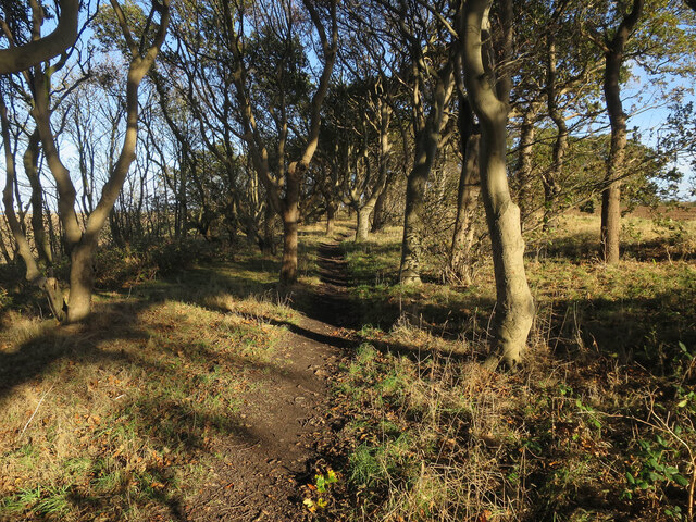
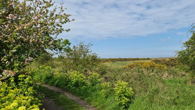
The woodland is characterized by its dense canopy of mature ash trees, which give the area its name. These towering trees create a serene and tranquil atmosphere, providing a habitat for a diverse range of flora and fauna. The forest floor is covered in a thick carpet of moss, ferns, and wildflowers, adding to the area's natural beauty.

Ash Carr offers a variety of walking trails, allowing visitors to explore the woodland at their own pace. These well-maintained paths wind through the forest, providing opportunities to observe the local wildlife, including deer, rabbits, and a wide array of bird species.

The woodland is also home to a small stream that meanders through the trees, adding to the charm of the area. This stream attracts various aquatic creatures, such as frogs and dragonflies, creating a thriving ecosystem within the forest.

Ash Carr is a designated nature reserve, and as such, it is protected and preserved for future generations to enjoy. The management of the woodland focuses on maintaining its natural state, ensuring the survival and growth of its diverse flora and fauna.

Overall, Ash Carr, Norfolk is a captivating woodland that offers a peaceful retreat from the hustle and bustle of everyday life. Its beauty and biodiversity make it an ideal location for nature lovers and those seeking a connection with the natural world.

If you have any feedback on the listing, please let us know in the comments section below.
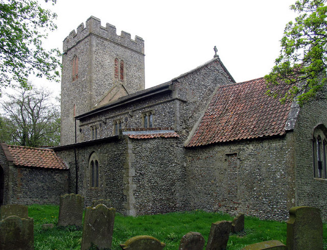
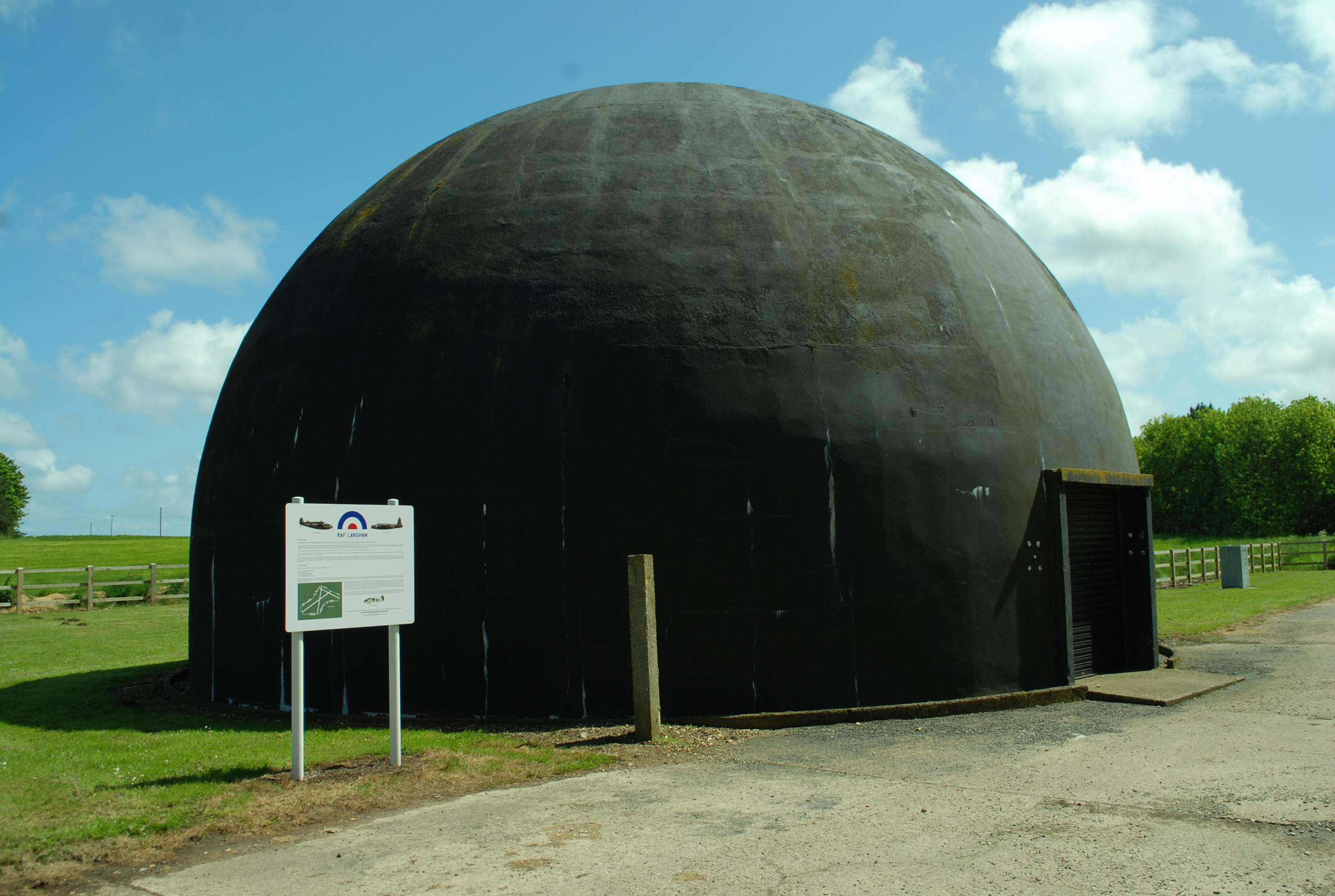
Ash Carr Images

Images are sourced within 2km of 52.94934/0.95136395 or Grid Reference TF9843. Thanks to Geograph Open Source API. All images are credited.

Stiffkey village sign - one of four The sign is surmounted by a representation of a Stiffkey Blue or Stiffkey Blew, the  blue shelled cockles found locally. The main subject depicts a tern which are common in the area.
<a title="https://www.geograph.org.uk/photo/6707610" href="https://www.geograph.org.uk/photo/6707610">Link</a> <a title="https://www.geograph.org.uk/photo/6707614" href="https://www.geograph.org.uk/photo/6707614">Link</a> <a title="https://www.geograph.org.uk/photo/6707619" href="https://www.geograph.org.uk/photo/6707619">Link</a>
Stiffkey village sign - one of four
The sign is surmounted by a representation of a Stiffkey Blue or Stiffkey Blew, the blue shelled cockles found locally. The main subject depicts a tern which are common in the area. Link Link Link
Stiffkey village sign - one of four The sign is surmounted by a representation of a Stiffkey Blue or Stiffkey Blew, the  blue shelled cockles found locally. The main subject depicts a tern which are common in the area. Close-up <a href="https://www.geograph.org.uk/photo/7162206">TF9742 : Stiffkey village sign - one of four</a>
<a title="https://www.geograph.org.uk/photo/6707610" href="https://www.geograph.org.uk/photo/6707610">Link</a> <a title="https://www.geograph.org.uk/photo/6707614" href="https://www.geograph.org.uk/photo/6707614">Link</a> <a title="https://www.geograph.org.uk/photo/6707619" href="https://www.geograph.org.uk/photo/6707619">Link</a>
Stiffkey village sign - one of four
The sign is surmounted by a representation of a Stiffkey Blue or Stiffkey Blew, the blue shelled cockles found locally. The main subject depicts a tern which are common in the area. Close-up TF9742 : Stiffkey village sign - one of four Link Link Link
Static caravans by Highsands Creek camp site
Stiffkey Wood (Coneyford Plantation)
Hollow Lane towards the coast path
Hollow Lane
Hollow Lane
Path through Coneyford Plantation
Morston Greens and Morston Meals
St John the Baptist and St Mary's Church, Stiffkey See; <span class="nowrap"><a title="https://en.wikipedia.org/wiki/St_John_and_St_Mary,_Stiffkey" rel="nofollow ugc noopener" href="https://en.wikipedia.org/wiki/St_John_and_St_Mary,_Stiffkey">Link</a><img style="margin-left:2px;" alt="External link" title="External link - shift click to open in new window" src="https://s1.geograph.org.uk/img/external.png" width="10" height="10"/></span>
St John the Baptist and St Mary's Church, Stiffkey
See; LinkExternal link
Church Street, Stiffkey Old school behind the village sign - Stewkey
Church Street, Stiffkey
Old school behind the village sign - Stewkey
Peddars Way and Norfolk Coastal Path at Stiffkey
Marshland by the River Stiffkey
Stiffkey village sign Approaching Stiffkey from the west on Wells Road
Stiffkey village sign
Approaching Stiffkey from the west on Wells Road
Red Lion Inn, Stiffkey
Replica Spitfire at Langham Dome This is at a museum with information about the airfield at Langham during WW2.
Replica Spitfire at Langham Dome
This is at a museum with information about the airfield at Langham during WW2.
Path through Coneyford Plantation, Stiffkey
Norfolk Coast Path by Stiffkey Salt Marshes
Stiffkey Salt Marshes
Show me another place!

Ash Carr is located at Grid Ref: TF9843 (Lat: 52.94934, Lng: 0.95136395)

Administrative County: Norfolk

District: North Norfolk

Police Authority: Norfolk

What 3 Words

///shut.gangway.trifling. Near Wells-next-the-Sea, Norfolk

Related Wikis

Nearby Amenities

Located within 500m of 52.94934,0.95136395
Fixme: Public Footpath continues N
Lat/Long: 52.9454376/0.9535435
The data included in this document is from www.openstreetmap.org. The data is made available under ODbL.

Have you been to Ash Carr?

Leave your review of Ash Carr below (or comments, questions and feedback).