Fornham St Genevieve

Settlement in Suffolk West Suffolk

England

Fornham St Genevieve

The A134 at Fornham St Martin
The A134 at Fornham St Martin Credit: Robert Edwards

Fornham St Genevieve is a small village located in the county of Suffolk, England. Situated about 3 miles north-west of Bury St Edmunds, it falls within the West Suffolk district. The village, with its population of around 400 residents, offers a tranquil and picturesque setting, surrounded by beautiful countryside.

The origin of the village's name is believed to derive from the Old English words "forn" and "ham," meaning "old homestead," while the addition of "St Genevieve" is in honor of the patron saint of Paris. The village is characterized by its charming thatched cottages, historic buildings, and a sense of traditional English village life.

One of the notable landmarks in Fornham St Genevieve is St Genevieve's Church, which dates back to the 12th century. This Grade I listed building showcases exquisite architectural features, including a Norman doorway and a stunning medieval stained glass window. The church also serves as a focal point for the local community, hosting regular services and community events.

The village is surrounded by an abundance of green spaces, offering residents and visitors opportunities for outdoor activities. The River Lark flows nearby, providing scenic walks along its banks. Fornham Park, a beautiful country estate, is situated to the east of the village and offers expansive grounds for leisurely strolls and picnics.

Although small in size, Fornham St Genevieve benefits from its proximity to larger towns such as Bury St Edmunds, which offers a wider range of amenities including shops, schools, and healthcare facilities. The village's peaceful and idyllic setting, combined with its historical charm, makes Fornham St Genevieve a delightful place to live or visit.

If you have any feedback on the listing, please let us know in the comments section below.

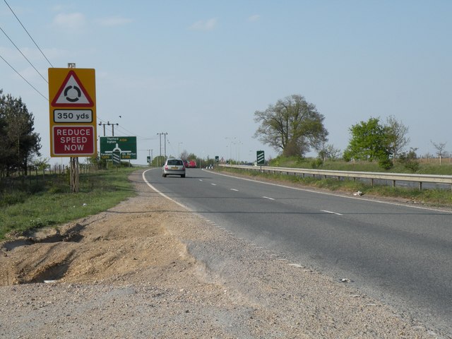
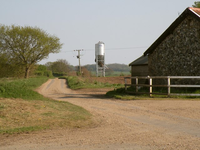
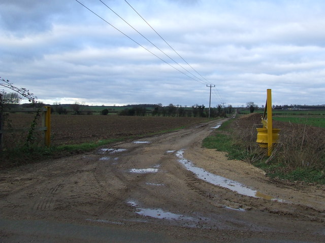
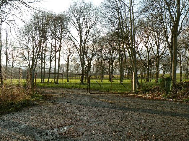
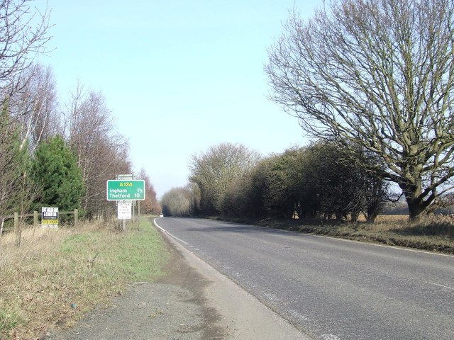
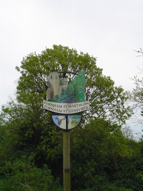
Fornham St Genevieve Images

Images are sourced within 2km of 52.277457/0.70825957 or Grid Reference TL8467. Thanks to Geograph Open Source API. All images are credited.

The A134 at Fornham St Martin
The road to Timworth Heath from Timworth Green
Field at end of Layham Drive A 4 photo panorama.

Between the trees on the left can be seen traffic leaving Bury St. Edmunds on Fornham Road. The line of trees at the back of the field traces the route of the River Lark.
Field at end of Layham Drive
A 4 photo panorama. Between the trees on the left can be seen traffic leaving Bury St. Edmunds on Fornham Road. The line of trees at the back of the field traces the route of the River Lark.
A field with a letter box It is marked Priory Farm, but there is no sign of any human habitation - this is the field also seen in <a href="https://www.geograph.org.uk/photo/2564211">TL8565 : Field at end of Layham Drive</a>. On the other side of the road is the Priory Hotel.

Actually the letterbox has appeared since the Google Street View camera passed by. The gate was intact at that time too.
A field with a letter box
It is marked Priory Farm, but there is no sign of any human habitation - this is the field also seen in TL8565 : Field at end of Layham Drive. On the other side of the road is the Priory Hotel. Actually the letterbox has appeared since the Google Street View camera passed by. The gate was intact at that time too.
River Lark passes under Tollgate bridge To the south west of this bridge the road is Fornham Road. To the north east it becomes Thetford Road. The river probably demarcates the border into the parish of Fornham. A public house one field nearer Bury is also called the Tollgate so clearly there used to be a gate on the main road around here. There is no trace of old stonework though.
River Lark passes under Tollgate bridge
To the south west of this bridge the road is Fornham Road. To the north east it becomes Thetford Road. The river probably demarcates the border into the parish of Fornham. A public house one field nearer Bury is also called the Tollgate so clearly there used to be a gate on the main road around here. There is no trace of old stonework though.
Drain parallel to River Lark Under all that vegetation there is a so-called drain, running parallel to the river Lark. Actually there was no water in it at the time of the photograph.
Drain parallel to River Lark
Under all that vegetation there is a so-called drain, running parallel to the river Lark. Actually there was no water in it at the time of the photograph.
Drain on north of Thetford Road Hiding under all that vegetation is a (dry) drain, or rivulet. The view in the other direction is shown in <a href="https://www.geograph.org.uk/photo/2564307">TL8566 : Drain parallel to River Lark</a>.
Drain on north of Thetford Road
Hiding under all that vegetation is a (dry) drain, or rivulet. The view in the other direction is shown in TL8566 : Drain parallel to River Lark.
River Lark north of Tollgate Bridge The view in the opposite direction to <a href="https://www.geograph.org.uk/photo/2564287">TL8566 : River Lark passes under Tollgate bridge</a>.
River Lark north of Tollgate Bridge
The view in the opposite direction to TL8566 : River Lark passes under Tollgate bridge.
The Tollgate, Bury St Edmunds Greene King pub on the northern outskirts of Bury St Edmunds close to Tollgate Bridge over the River Lark.
The Tollgate, Bury St Edmunds
Greene King pub on the northern outskirts of Bury St Edmunds close to Tollgate Bridge over the River Lark.
Crossroads Crossroads near to Culford, Suffolk.
Crossroads
Crossroads near to Culford, Suffolk.
Crossroads and telephone exchange Crossroads of the B1106 with a small B.T. telephone exchange near to Culford, Suffolk.
Crossroads and telephone exchange
Crossroads of the B1106 with a small B.T. telephone exchange near to Culford, Suffolk.
Private Farm Track A private farm track near to Culford, Suffolk.
Private Farm Track
A private farm track near to Culford, Suffolk.
Minor Road Minor road linking the A134 and the B1106 near to Culford, Suffolk.
Minor Road
Minor road linking the A134 and the B1106 near to Culford, Suffolk.
Thetford Road near Fornham St. Martin This is part of the B1106.
Thetford Road near Fornham St. Martin
This is part of the B1106.
Part of Fornham Park The entrance leads to a sewage works.
Part of Fornham Park
The entrance leads to a sewage works.
Part of the B1106 just south of Culford
Road Junction Minor road onto the B1106 near to Culford, Suffolk.
Road Junction
Minor road onto the B1106 near to Culford, Suffolk.
The A143 looking north Looking north along the A143 near to Timworth Green, Suffolk.
The A143 looking north
Looking north along the A143 near to Timworth Green, Suffolk.
Show me another place!

Fornham St Genevieve is located at Grid Ref: TL8467 (Lat: 52.277457, Lng: 0.70825957)

Administrative County: Suffolk

District: West Suffolk

Police Authority: Suffolk

What 3 Words

///visual.deleting.forgives. Near Bury St Edmunds, Suffolk

Related Wikis

Fornham St Genevieve

Fornham St Genevieve is a village and civil parish in the West Suffolk district of Suffolk in eastern England. It is one of a trio of contiguous villages...

Fornham St Martin

Fornham St Martin is a village and civil parish in the West Suffolk district of Suffolk in eastern England. Located on the northern outskirts of Bury St...
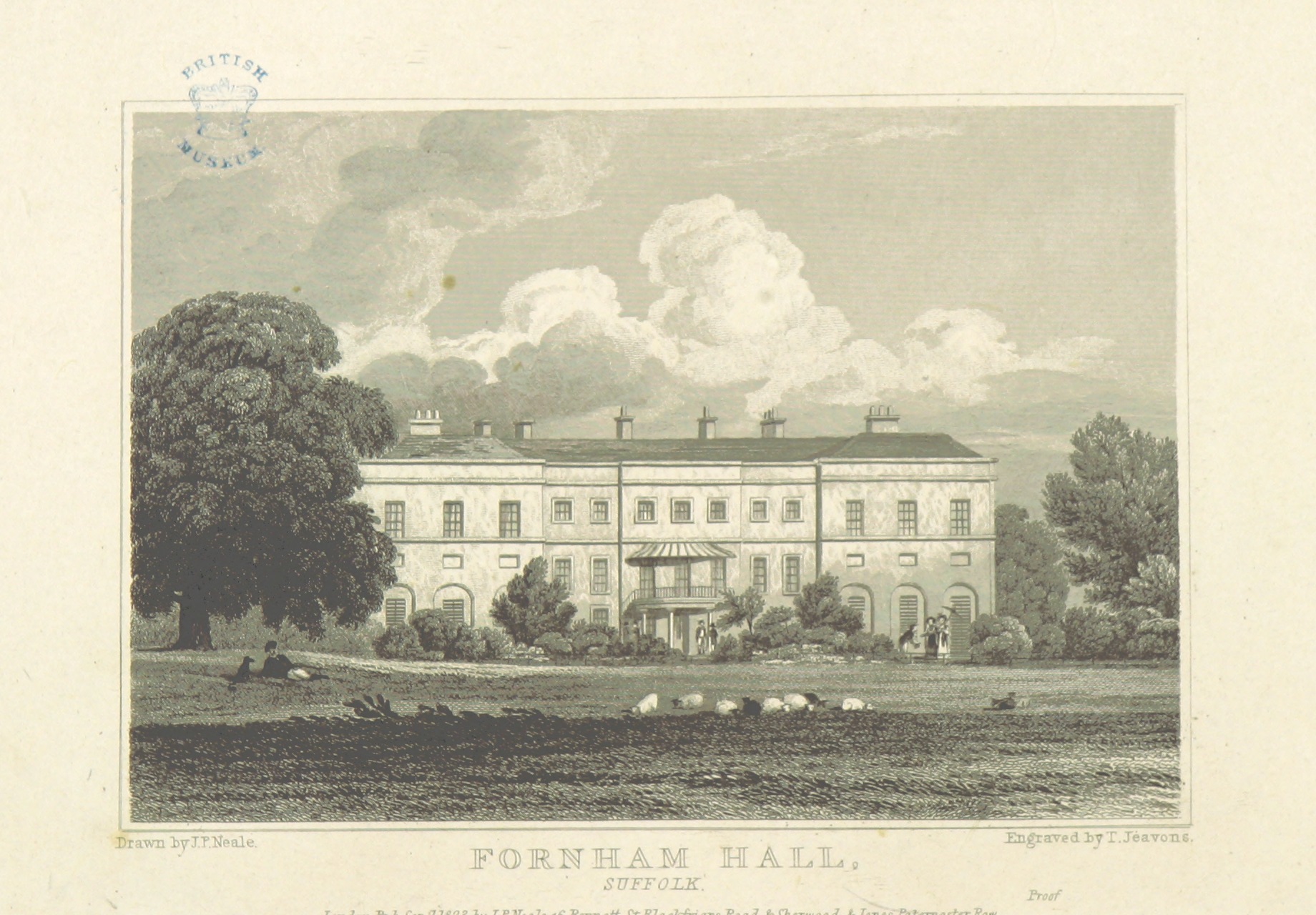
Fornham Hall

Fornham Hall was a large 18th-century country house near Bury St Edmunds. It was demolished in 1957. The Estate included manorial land is part of the parish...

Fornham All Saints

Fornham All Saints is a village and civil parish in Suffolk, England in the West Suffolk district. It is north-northwest of the town of Bury St Edmunds...

Timworth

Timworth is a village and civil parish 65 mi (105 km) north east of London and 26 mi (42 km) east of Cambridge in the West Suffolk district of Suffolk...

St Benedict's Catholic School

St Benedict's Catholic School is a coeducational Roman Catholic secondary school and sixth form in Bury St Edmunds, Suffolk, England. Opened in 1967, the...

Bury St Edmunds County High School

Bury St Edmunds County High School, previously Bury St Edmunds County Upper School, is a 13 to 19 co-educational comprehensive part of the Bury St Edmunds...
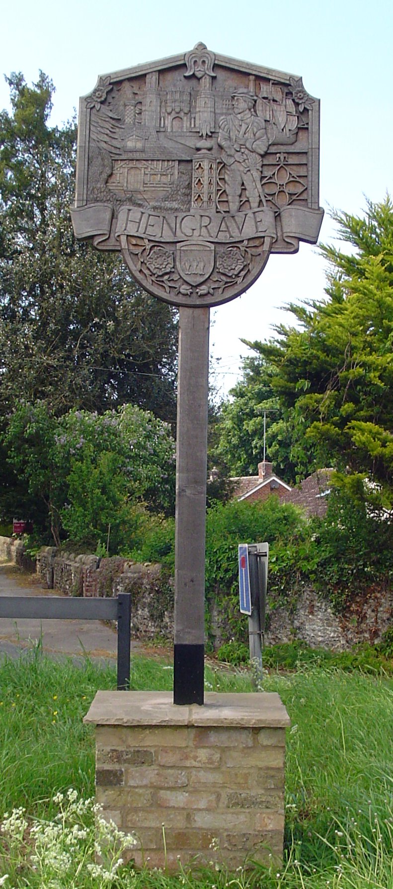
Hengrave

Hengrave is a small village and civil parish in the West Suffolk district, in the county of Suffolk, England. It is to the North the town of Bury St Edmunds...

Nearby Amenities

Located within 500m of 52.277457,0.70825957
Bus Stop
Parklands Green
Bus: yes
Naptan AtcoCode: 390050642
Naptan Bearing: W
Naptan BusStopType: CUS
Naptan CommonName: Parklands Green
Naptan Indicator: o/s
Naptan Landmark: Parklands Green
Naptan NaptanCode: sufgjgdp
Naptan Street: Park Avenue
Naptan Verified: no
Public Transport: platform
Source: naptan_import
Lat/Long: 52.2766653/0.7064463
Bus Stop
Parklands Green
Bus: yes
Naptan AtcoCode: 390050643
Naptan Bearing: E
Naptan BusStopType: CUS
Naptan CommonName: Parklands Green
Naptan Indicator: opp
Naptan Landmark: Parklands Green
Naptan NaptanCode: sufgjgdt
Naptan Street: Park Avenue
Naptan Verified: no
Public Transport: platform
Source: naptan_import
Lat/Long: 52.2767984/0.7062905
Bus Stop
Lark Valley Shelter
Bus: yes
Naptan AtcoCode: 390050648
Naptan Bearing: S
Naptan CommonName: Lark Valley Shelter
Naptan Indicator: o/s
Naptan Landmark: Lark Valley Drive Shelter
Naptan NaptanCode: sufgjgjm
Naptan Street: Culford Road
Naptan Verified: no
Public Transport: platform
Source: naptan_import
Lat/Long: 52.2761981/0.7090062
Bus Stop
Lark Valley Shelter
Bus: yes
Naptan AtcoCode: 390050649
Naptan Bearing: N
Naptan BusStopType: CUS
Naptan CommonName: Lark Valley Shelter
Naptan Indicator: opp
Naptan Landmark: Lark Valley Shelter
Naptan NaptanCode: sufgjgjp
Naptan Street: Culford Road
Naptan Verified: no
Public Transport: platform
Source: naptan_import
Lat/Long: 52.2761193/0.7089135
Fixme: check for oil pipeline markers around here
Lat/Long: 52.2742099/0.705831
Pipeline: marker
Substance: oil
Lat/Long: 52.2749788/0.7099161
Mini Roundabout
Lat/Long: 52.2760392/0.7023019
Fornham St Genevieve
Place: village
Lat/Long: 52.2772027/0.706367
Post Box
Collection Times: Mo-Fr 17:15; Sa 11:30
Operator: Royal Mail
Operator Wikidata: Q638098
Post Box Design: type_k
Post Box Type: pillar
Ref: IP28 2101
Royal Cypher: EIIR
Royal Cypher Wikidata: Q33102113
Lat/Long: 52.2755202/0.7090688
Vapourtec
Office: company
Lat/Long: 52.2794554/0.7118453
Grit Bin
Lat/Long: 52.2764983/0.705657
Give Way
Lat/Long: 52.2765648/0.7057777
Fixme: incomplete
Lat/Long: 52.2764573/0.7058287
Fixme: incomplete
Lat/Long: 52.2769939/0.7077156
Golf: tee
Surface: grass
Lat/Long: 52.2754989/0.7019132
The data included in this document is from www.openstreetmap.org. The data is made available under ODbL.

Have you been to Fornham St Genevieve?

Leave your review of Fornham St Genevieve below (or comments, questions and feedback).