Fornham St Martin
Settlement in Suffolk West Suffolk
England
Fornham St Martin
Fornham St Martin is a small village located in the county of Suffolk, England. Situated approximately two miles northwest of Bury St Edmunds, it is part of the civil parish of Fornham, which also includes the neighboring village of Fornham All Saints.
The village is known for its picturesque setting, surrounded by beautiful countryside and green fields. It is a quiet and quaint community, offering a peaceful escape from the bustling city life. Fornham St Martin is primarily a residential area, with a small population of around 500 people.
The village itself is rich in history, with evidence of human settlement dating back to the Neolithic period. In more recent times, it has been home to several notable buildings, including the Grade II listed St Martin's Church, which dates back to the 12th century. The church is a significant landmark in the village, showcasing stunning architectural features and serving as a gathering place for the local community.
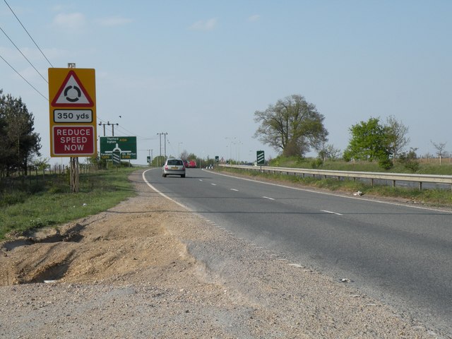
Fornham St Martin benefits from its proximity to Bury St Edmunds, which offers a wider range of amenities, including shops, restaurants, and schools. The village is well-connected to the surrounding areas by road, with the A14 highway passing nearby, providing easy access to Ipswich, Cambridge, and beyond.
Overall, Fornham St Martin offers a charming and idyllic living environment, surrounded by natural beauty and steeped in history. Its tranquil atmosphere and close-knit community make it an attractive place to reside for those seeking a peaceful village lifestyle.
If you have any feedback on the listing, please let us know in the comments section below.
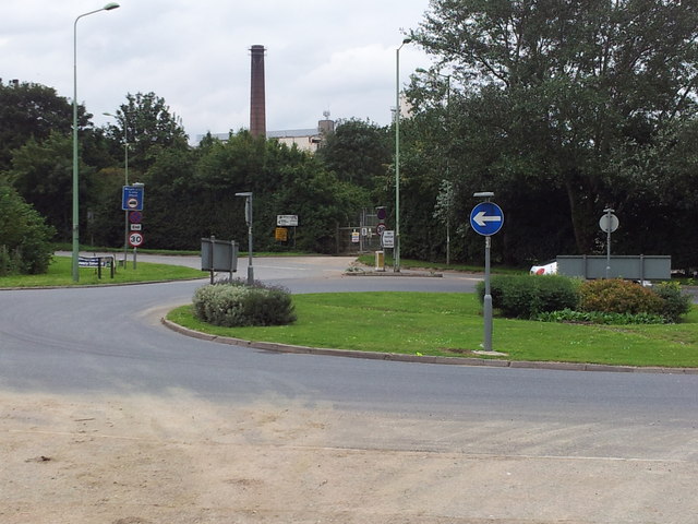
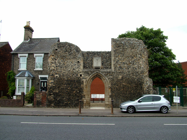
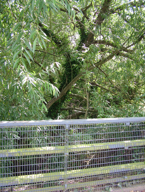
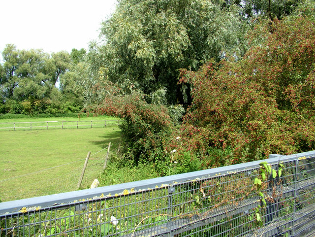
Fornham St Martin Images
Images are sourced within 2km of 52.270447/0.71315321 or Grid Reference TL8567. Thanks to Geograph Open Source API. All images are credited.


Fornham St Martin is located at Grid Ref: TL8567 (Lat: 52.270447, Lng: 0.71315321)
Administrative County: Suffolk
District: West Suffolk
Police Authority: Suffolk
What 3 Words
///rugs.surfer.fabric. Near Bury St Edmunds, Suffolk
Nearby Locations
Related Wikis
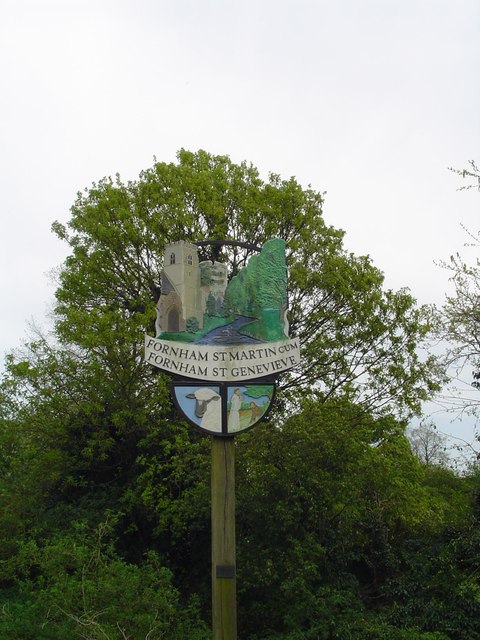
Fornham St Martin
Fornham St Martin is a village and civil parish in the West Suffolk district of Suffolk in eastern England. Located on the northern outskirts of Bury St...

Fornham St Genevieve
Fornham St Genevieve is a village and civil parish in the West Suffolk district of Suffolk in eastern England. It is one of a trio of contiguous villages...

St Benedict's Catholic School
St Benedict's Catholic School is a coeducational Roman Catholic secondary school and sixth form in Bury St Edmunds, Suffolk, England. Opened in 1967, the...

Fornham All Saints
Fornham All Saints is a village and civil parish in Suffolk, England in the West Suffolk district. It is north-northwest of the town of Bury St Edmunds...

Bury St Edmunds County High School
Bury St Edmunds County High School, previously Bury St Edmunds County Upper School, is a 13 to 19 co-educational comprehensive part of the Bury St Edmunds...
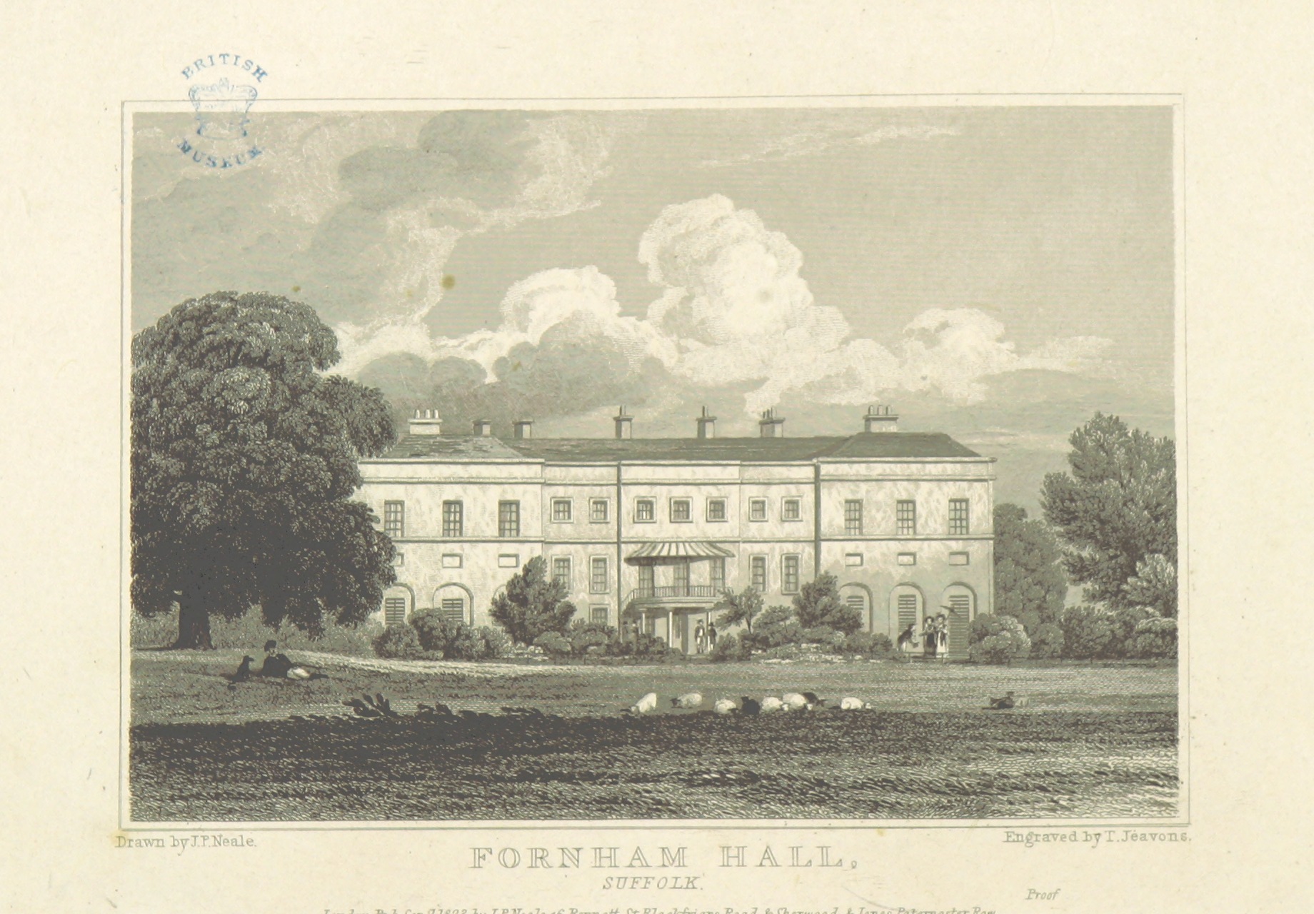
Fornham Hall
Fornham Hall was a large 18th-century country house near Bury St Edmunds. It was demolished in 1957. The Estate included manorial land is part of the parish...
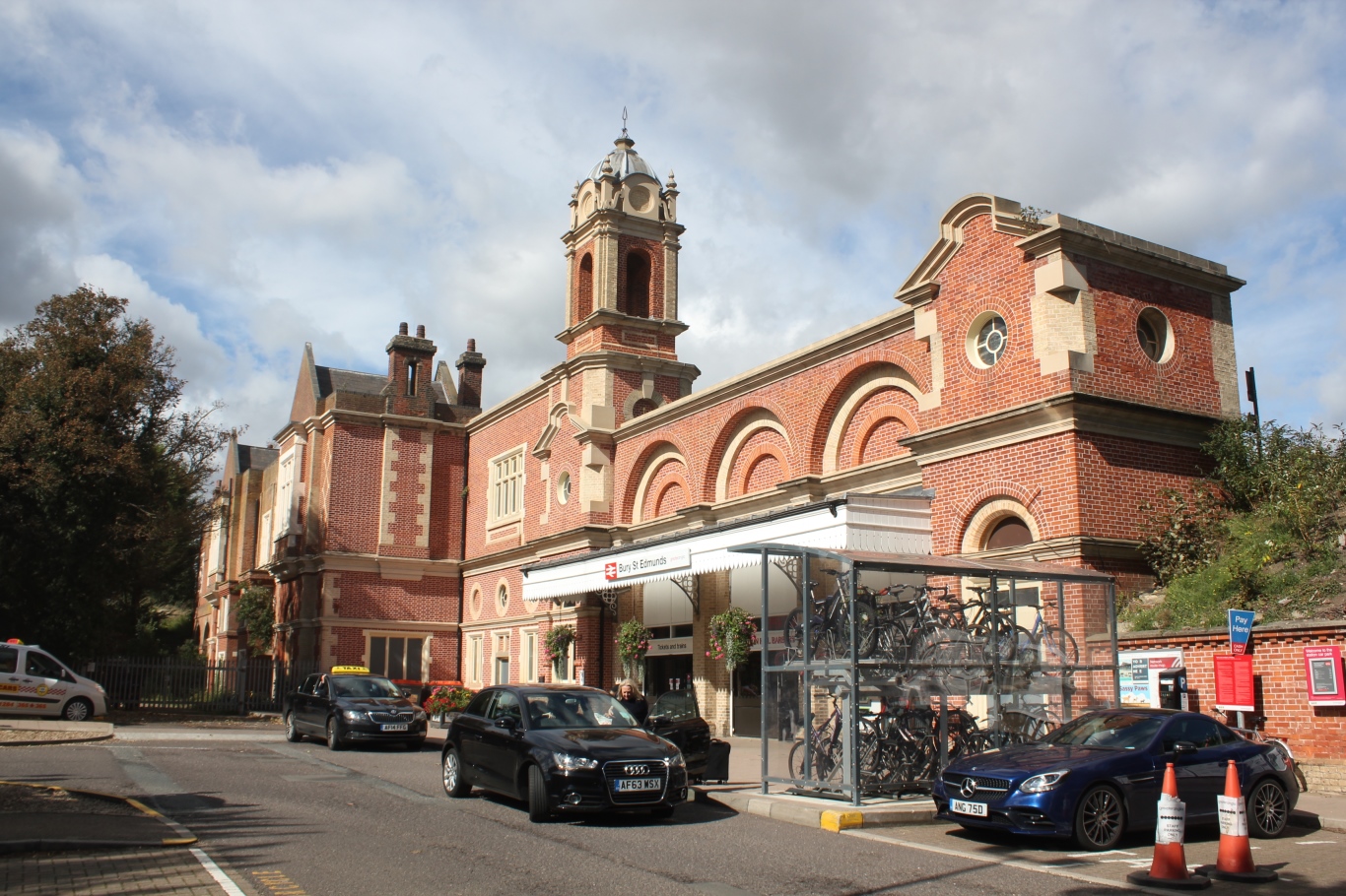
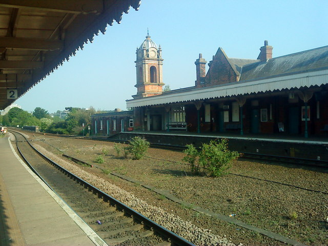
Bury St Edmunds railway station
Bury St Edmunds railway station serves the town of Bury St Edmunds in Suffolk, England. The station is on the Ipswich–Ely line and all trains calling there...
King Edward VI School, Bury St Edmunds
King Edward VI School is a co-educational comprehensive secondary school in Bury St Edmunds, Suffolk, England. The school in its present form was created...
Related Videos

Still walking off that dinner 😊 #makingmemories #travel #motorhomelife
Quick walk around the town.

Country Walking: Fornham St Martin, Suffolk
This was a reasonable circular of around 10 miles (officially 7.6 miles from the village church), undertaken on an overcast day with ...

Bury St. Edmunds, Suffolk | Walk in summertime 2021🌞 | 4K 3D Sound 🎧
Filmed starting at 15:20PM on Sunday 18th July 2021 The temperature was around 30°C and hot A walk around the centre ...
Nearby Amenities
Located within 500m of 52.270447,0.71315321Have you been to Fornham St Martin?
Leave your review of Fornham St Martin below (or comments, questions and feedback).