Brick Kiln Plantation
Wood, Forest in Suffolk West Suffolk
England
Brick Kiln Plantation
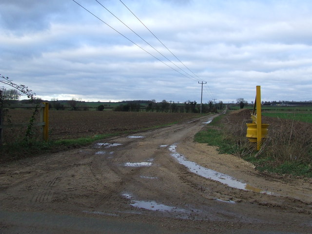
Brick Kiln Plantation is a sprawling woodland area located in Suffolk, England. Covering an expansive area, it is a popular destination among nature enthusiasts and hikers alike. The plantation is known for its dense forest and diverse range of wood species, making it a significant ecological site in the region.
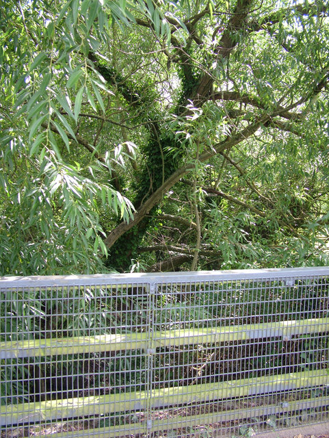
The woodland at Brick Kiln Plantation is dominated by a mixture of broadleaf and coniferous trees. Native species such as oak, beech, and birch can be found, creating a rich and vibrant ecosystem. The varying heights and densities of the tree canopy provide shelter and nesting grounds for numerous bird species, making it a haven for birdwatchers.
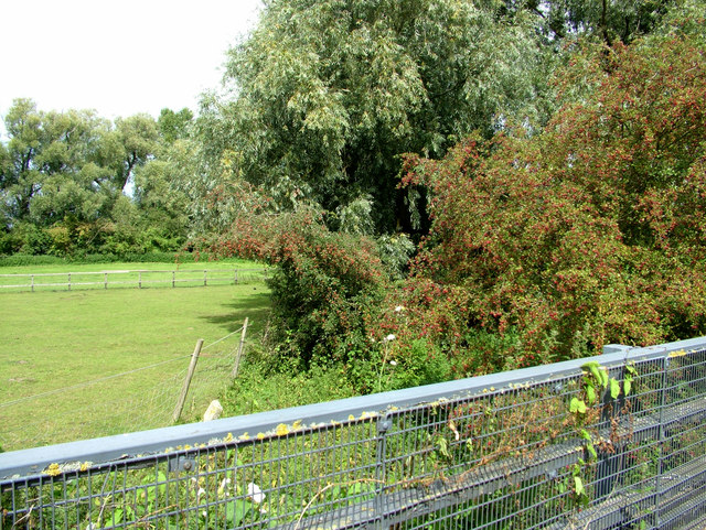
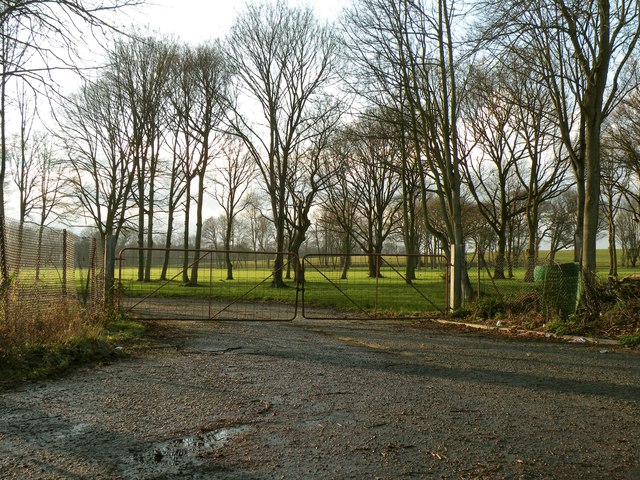
Traversing the plantation, visitors can explore a network of well-maintained trails and footpaths. These paths wind through the forest, offering picturesque views and an opportunity to immerse oneself in the natural beauty of the area. The plantation also boasts a small lake, which adds to the scenic charm and attracts a variety of wildlife.
Brick Kiln Plantation is managed by local authorities, who strive to preserve its natural habitat and maintain its ecological balance. Conservation efforts include regular tree planting campaigns and the removal of invasive plant species. These initiatives ensure the sustainability of the woodland and allow visitors to enjoy its beauty for generations to come.
Overall, Brick Kiln Plantation is a captivating destination for nature lovers seeking tranquility and an escape from the hustle and bustle of urban life. Whether it's a leisurely walk or a birdwatching adventure, the plantation offers a memorable experience for all who visit.
If you have any feedback on the listing, please let us know in the comments section below.
Brick Kiln Plantation Images
Images are sourced within 2km of 52.276857/0.72300108 or Grid Reference TL8567. Thanks to Geograph Open Source API. All images are credited.


Brick Kiln Plantation is located at Grid Ref: TL8567 (Lat: 52.276857, Lng: 0.72300108)
Administrative County: Suffolk
District: West Suffolk
Police Authority: Suffolk
What 3 Words
///consoles.earpiece.replayed. Near Great Barton, Suffolk
Nearby Locations
Related Wikis
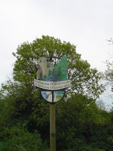
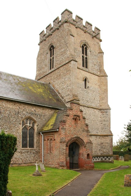
Fornham St Martin
Fornham St Martin is a village and civil parish in the West Suffolk district of Suffolk in eastern England. Located on the northern outskirts of Bury St...

Fornham St Genevieve
Fornham St Genevieve is a village and civil parish in the West Suffolk district of Suffolk in eastern England. It is one of a trio of contiguous villages...

Timworth
Timworth is a village and civil parish 65 mi (105 km) north east of London and 26 mi (42 km) east of Cambridge in the West Suffolk district of Suffolk...
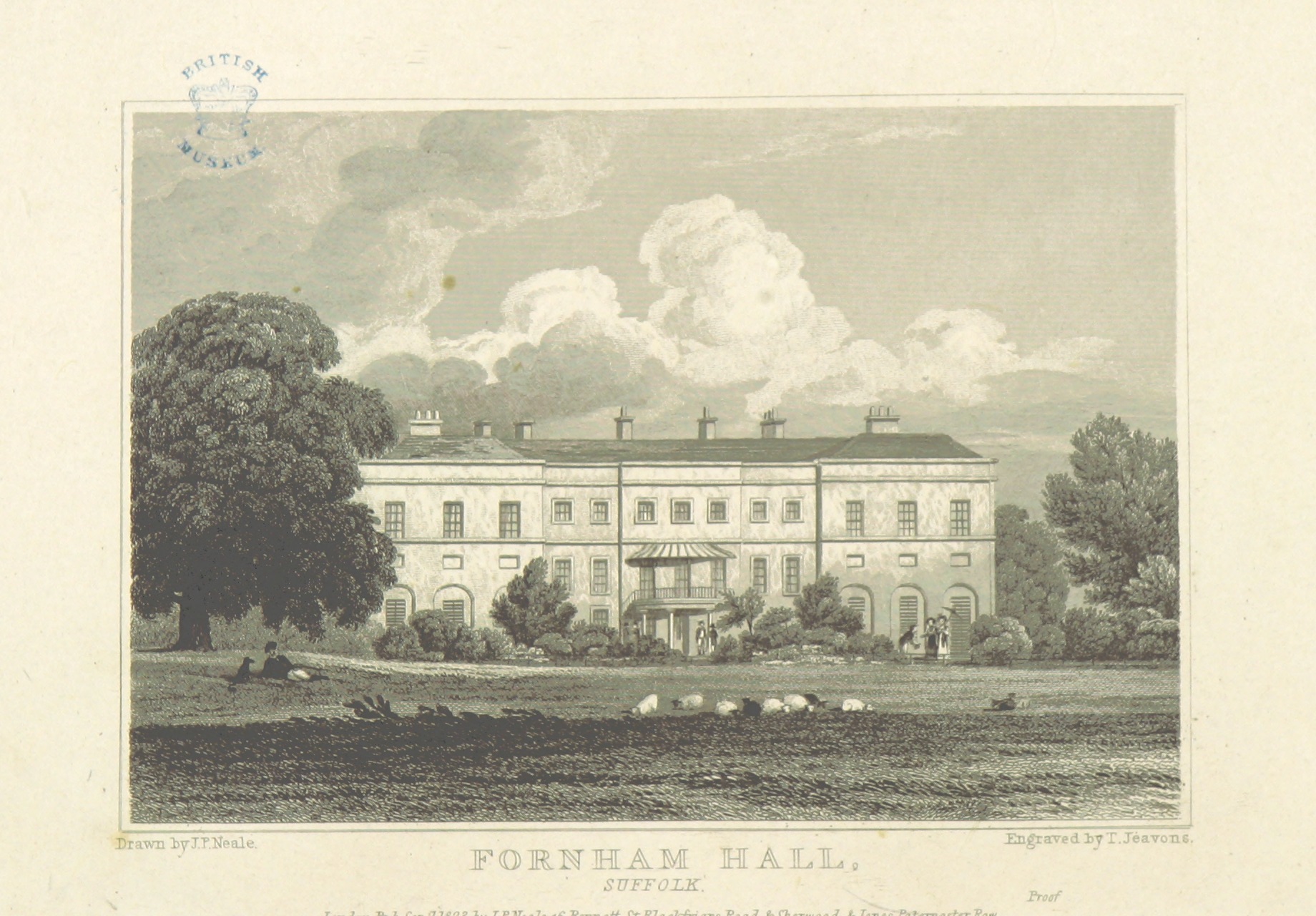
Fornham Hall
Fornham Hall was a large 18th-century country house near Bury St Edmunds. It was demolished in 1957. The Estate included manorial land is part of the parish...
Related Videos

Country Walking: Fornham St Martin, Suffolk
This was a reasonable circular of around 10 miles (officially 7.6 miles from the village church), undertaken on an overcast day with ...

Stop Popping Hips when Exercising
When your hips are popping whilst exercising, you most likely suffer from a tight TFL (Tensor Fasciae Latae) muscle and/or a tight ...

Suffolk scootin’
Ride out to Finchingfield, stopping off at Krazy Horse.

Nearby Amenities
Located within 500m of 52.276857,0.72300108Have you been to Brick Kiln Plantation?
Leave your review of Brick Kiln Plantation below (or comments, questions and feedback).