Park Gate Plantation

Wood, Forest in Suffolk West Suffolk

England

Park Gate Plantation

The A134 at Fornham St Martin
The A134 at Fornham St Martin Credit: Robert Edwards

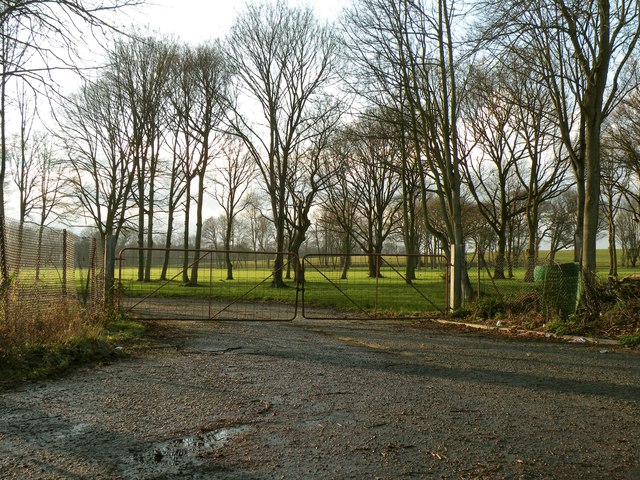
Park Gate Plantation is a picturesque woodland located in Suffolk, England. Spread across a vast area, it is renowned for its lush greenery, towering trees, and diverse flora and fauna. The plantation is situated near the village of Park Gate, which adds to its charm and accessibility.

The woodland is predominantly composed of deciduous trees, including oak, beech, and birch, which create a vibrant canopy during the summer months. These trees provide a habitat for a wide range of wildlife, including birds, squirrels, and deer. The plantation is often frequented by birdwatchers and nature enthusiasts who come to observe the various species that call this forest home.

Traversing through Park Gate Plantation, visitors can find well-maintained footpaths that lead to tranquil spots, perfect for picnics or leisurely walks. The plantation is a popular destination for families, offering a safe and serene environment for children to explore and play.

Additionally, Park Gate Plantation has gained recognition for its commitment to conservation and sustainability. The woodland is managed by a dedicated team who prioritize maintaining the delicate balance of its ecosystem while ensuring public access and enjoyment.

Overall, Park Gate Plantation offers a serene escape from the hustle and bustle of daily life. Whether one seeks solace amidst nature, seeks adventure on the walking trails, or simply appreciates the beauty of a well-preserved woodland, this Suffolk plantation provides an ideal destination for all nature lovers.

If you have any feedback on the listing, please let us know in the comments section below.

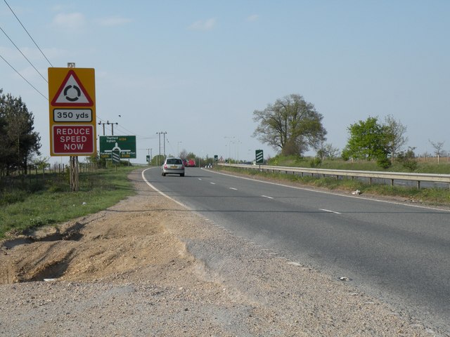
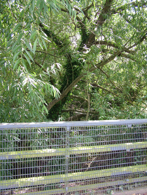
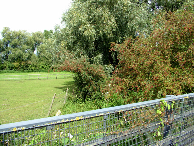
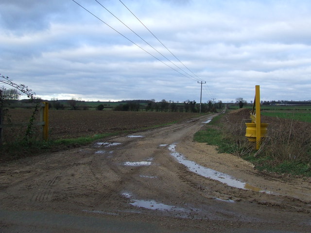
Park Gate Plantation Images

Images are sourced within 2km of 52.277994/0.70088848 or Grid Reference TL8467. Thanks to Geograph Open Source API. All images are credited.

The A134 at Fornham St Martin
Drain parallel to River Lark Under all that vegetation there is a so-called drain, running parallel to the river Lark. Actually there was no water in it at the time of the photograph.
Drain parallel to River Lark
Under all that vegetation there is a so-called drain, running parallel to the river Lark. Actually there was no water in it at the time of the photograph.
Drain on north of Thetford Road Hiding under all that vegetation is a (dry) drain, or rivulet. The view in the other direction is shown in <a href="https://www.geograph.org.uk/photo/2564307">TL8566 : Drain parallel to River Lark</a>.
Drain on north of Thetford Road
Hiding under all that vegetation is a (dry) drain, or rivulet. The view in the other direction is shown in TL8566 : Drain parallel to River Lark.
River Lark north of Tollgate Bridge The view in the opposite direction to <a href="https://www.geograph.org.uk/photo/2564287">TL8566 : River Lark passes under Tollgate bridge</a>.
River Lark north of Tollgate Bridge
The view in the opposite direction to TL8566 : River Lark passes under Tollgate bridge.
Hengrave Lock, River Lark, 1973 A derelict lock on the long unnavigable River Lark. Thanks to Bob Jones for identifying this.
Hengrave Lock, River Lark, 1973
A derelict lock on the long unnavigable River Lark. Thanks to Bob Jones for identifying this.
Crossroads Crossroads near to Culford, Suffolk.
Crossroads
Crossroads near to Culford, Suffolk.
Crossroads and telephone exchange Crossroads of the B1106 with a small B.T. telephone exchange near to Culford, Suffolk.
Crossroads and telephone exchange
Crossroads of the B1106 with a small B.T. telephone exchange near to Culford, Suffolk.
Private Farm Track A private farm track near to Culford, Suffolk.
Private Farm Track
A private farm track near to Culford, Suffolk.
Minor Road Minor road linking the A134 and the B1106 near to Culford, Suffolk.
Minor Road
Minor road linking the A134 and the B1106 near to Culford, Suffolk.
Mill Lane Mill Lane near to Hengrave, Suffolk.
Mill Lane
Mill Lane near to Hengrave, Suffolk.
Thetford Road near Fornham St. Martin This is part of the B1106.
Thetford Road near Fornham St. Martin
This is part of the B1106.
Part of Fornham Park The entrance leads to a sewage works.
Part of Fornham Park
The entrance leads to a sewage works.
Part of the B1106 just south of Culford
Mill Lane near Hengrave
Road Junction Minor road onto the B1106 near to Culford, Suffolk.
Road Junction
Minor road onto the B1106 near to Culford, Suffolk.
The A143 looking north Looking north along the A143 near to Timworth Green, Suffolk.
The A143 looking north
Looking north along the A143 near to Timworth Green, Suffolk.
Ploughed Farmland, outside Fornham All Saints
All Saints, Fornham All saints
Show me another place!

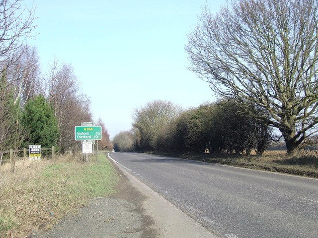
Park Gate Plantation is located at Grid Ref: TL8467 (Lat: 52.277994, Lng: 0.70088848)

Administrative County: Suffolk

District: West Suffolk

Police Authority: Suffolk

What 3 Words

///crabmeat.voice.encoded. Near Bury St Edmunds, Suffolk

Related Wikis

Fornham St Genevieve

Fornham St Genevieve is a village and civil parish in the West Suffolk district of Suffolk in eastern England. It is one of a trio of contiguous villages...
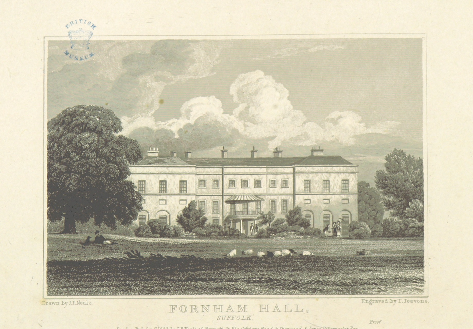
Fornham Hall

Fornham Hall was a large 18th-century country house near Bury St Edmunds. It was demolished in 1957. The Estate included manorial land is part of the parish...

Fornham All Saints

Fornham All Saints is a village and civil parish in Suffolk, England in the West Suffolk district. It is north-northwest of the town of Bury St Edmunds...
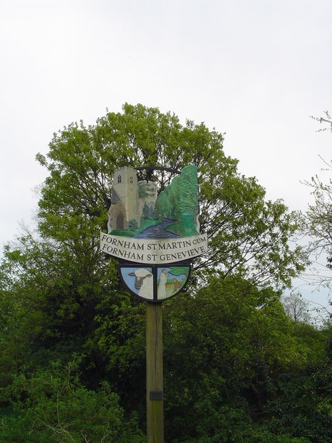
Fornham St Martin

Fornham St Martin is a village and civil parish in the West Suffolk district of Suffolk in eastern England. Located on the northern outskirts of Bury St...
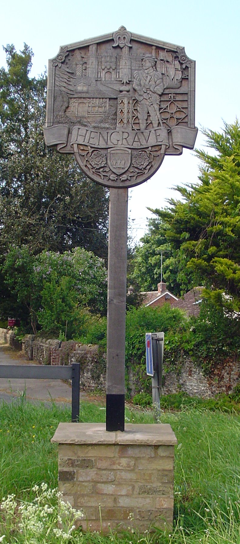
Hengrave

Hengrave is a small village and civil parish in the West Suffolk district, in the county of Suffolk, England. It is to the North the town of Bury St Edmunds...

Church of St John Lateran, Hengrave

The Church of St John Lateran, Hengrave is the former parish church of Hengrave, Suffolk. In 1589 this parish was consolidated with that of adjacent Flempton...
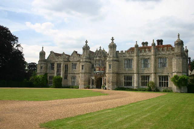
Hengrave Hall

Hengrave Hall is a Grade I listed Tudor manor house in Hengrave near Bury St. Edmunds in Suffolk, England and was the seat of the Kitson and Gage families...

Timworth

Timworth is a village and civil parish 65 mi (105 km) north east of London and 26 mi (42 km) east of Cambridge in the West Suffolk district of Suffolk...

Nearby Amenities

Located within 500m of 52.277994,0.70088848
Bus Stop
Parklands Green
Bus: yes
Naptan AtcoCode: 390050642
Naptan Bearing: W
Naptan BusStopType: CUS
Naptan CommonName: Parklands Green
Naptan Indicator: o/s
Naptan Landmark: Parklands Green
Naptan NaptanCode: sufgjgdp
Naptan Street: Park Avenue
Naptan Verified: no
Public Transport: platform
Source: naptan_import
Lat/Long: 52.2766653/0.7064463
Bus Stop
Parklands Green
Bus: yes
Naptan AtcoCode: 390050643
Naptan Bearing: E
Naptan BusStopType: CUS
Naptan CommonName: Parklands Green
Naptan Indicator: opp
Naptan Landmark: Parklands Green
Naptan NaptanCode: sufgjgdt
Naptan Street: Park Avenue
Naptan Verified: no
Public Transport: platform
Source: naptan_import
Lat/Long: 52.2767984/0.7062905
Bus Stop
Post Office
Bench: yes
Bus: yes
Local Ref: NR
Naptan AtcoCode: 390050644
Naptan Bearing: E
Naptan CommonName: Post Office
Naptan Indicator: nr
Naptan Landmark: Post Office
Naptan NaptanCode: sufgjgdw
Naptan Street: B1106
Public Transport: platform
Shelter: yes
Source: naptan_import;survey
Lat/Long: 52.2767588/0.6950369
Bus Stop
Post Office
Naptan AtcoCode: 390050645
Naptan Bearing: W
Naptan BusStopType: CUS
Naptan CommonName: Post Office
Naptan Indicator: opp
Naptan Landmark: Post Office
Naptan NaptanCode: sufgjgja
Naptan Street: B1106
Public Transport: platform
Source: naptan_import;survey
Lat/Long: 52.2767346/0.6954794
Power: pole
Lat/Long: 52.2790747/0.6940857
Power: pole
Lat/Long: 52.2787498/0.6952821
Power: pole
Lat/Long: 52.2783592/0.6961939
Power: pole
Lat/Long: 52.2784084/0.6962799
Power: pole
Lat/Long: 52.2786874/0.6952176
Power: pole
Lat/Long: 52.2791567/0.6940535
Post Box
Collection Times: Mo-Fr 09:00; Sa 07:00
Post Box Design: type_a
Post Box Type: pillar
Ref: IP28 8261D
Royal Cypher: EIIR
Royal Cypher Wikidata: Q33102113
Lat/Long: 52.2767206/0.6939032
Mini Roundabout
Lat/Long: 52.2760392/0.7023019
Fornham St Genevieve
Place: village
Lat/Long: 52.2772027/0.706367
Grit Bin
Lat/Long: 52.2764983/0.705657
Hathaway & Jones
Shop: hairdresser
Lat/Long: 52.2768355/0.6952594
Marker: post
Lat/Long: 52.2737681/0.7033839
Golf: pin
Lat/Long: 52.2754447/0.7014406
Golf: pin
Lat/Long: 52.2765574/0.6977847
Golf: pin
Lat/Long: 52.2755087/0.6953305
Golf: pin
Lat/Long: 52.2742171/0.698474
Golf: pin
Lat/Long: 52.2741777/0.7003677
Golf: pin
Lat/Long: 52.2736624/0.6999117
Golf: pin
Lat/Long: 52.2751457/0.7016217
Golf: pin
Lat/Long: 52.2765738/0.6988683
Give Way
Lat/Long: 52.2765648/0.7057777
Fixme: incomplete
Lat/Long: 52.2764573/0.7058287
Fixme: incomplete
Lat/Long: 52.2769939/0.7077156
Bench
Lat/Long: 52.2767714/0.6951039
Golf: tee
Surface: grass
Lat/Long: 52.2754989/0.7019132
The data included in this document is from www.openstreetmap.org. The data is made available under ODbL.

Have you been to Park Gate Plantation?

Leave your review of Park Gate Plantation below (or comments, questions and feedback).