Ash Carr

Wood, Forest in Norfolk Breckland

England

Ash Carr

Entrance to The Nunnery, Hilborough The Nunnery was formerly The Rectory. The left hand gate pillar, covered in ivy, houses an Ordnance Survey Flush Bracket, S160, just visible. See <a href="https://www.geograph.org.uk/photo/1852255">TF8200 : OS Flush Bracket S 0160</a>.
Entrance to The Nunnery, Hilborough Credit: Paul Collins

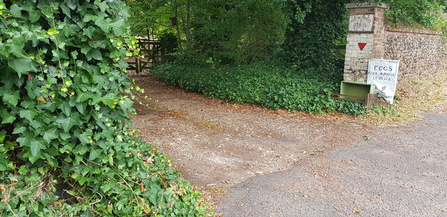
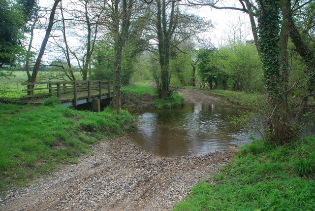
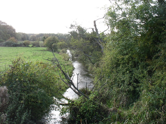
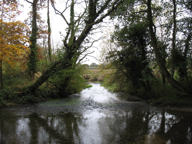
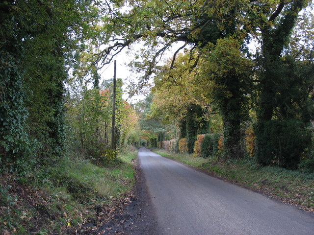
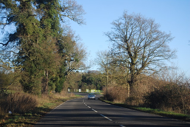
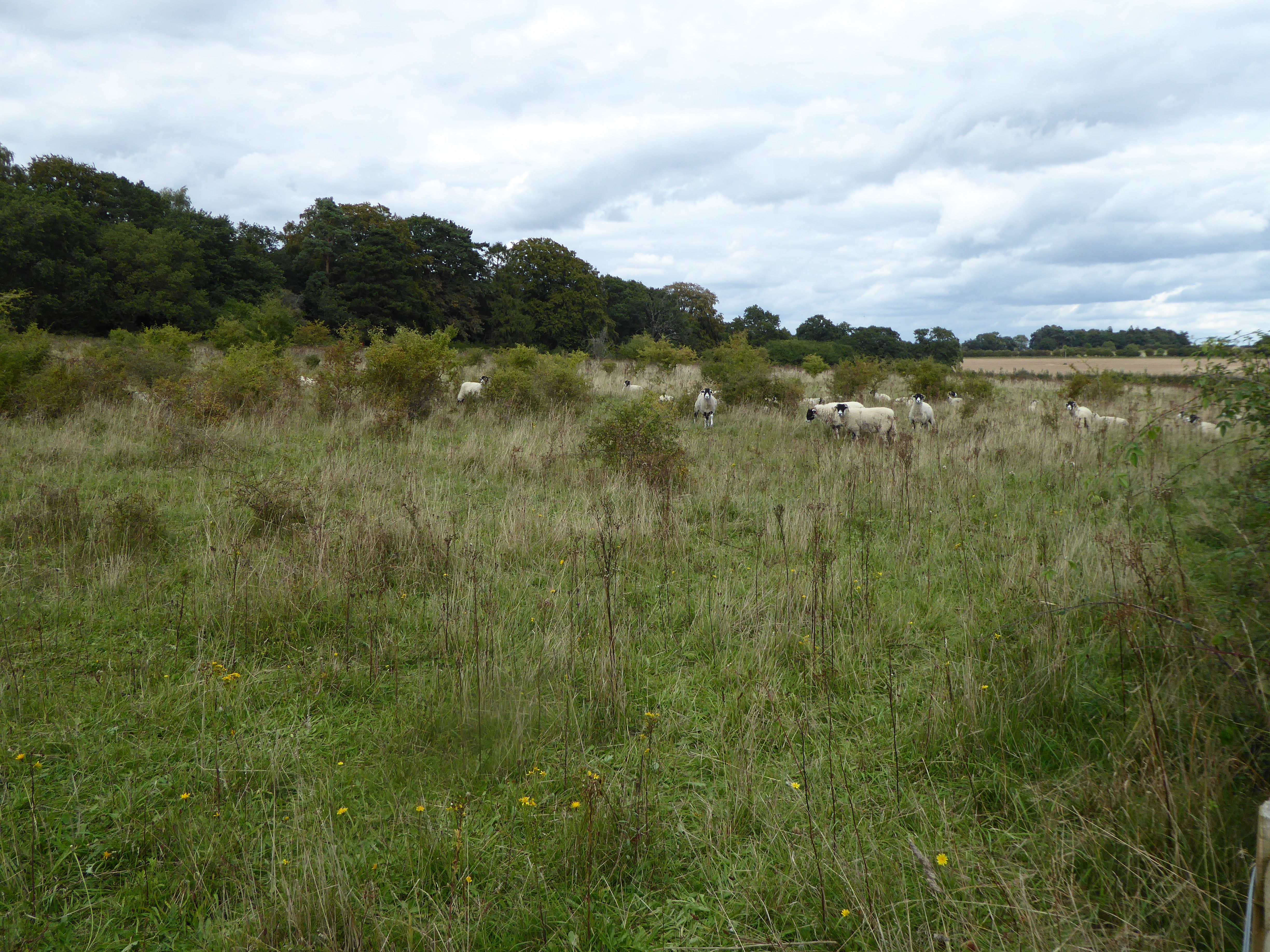
Ash Carr is a wood located in Norfolk, England, known for its beautiful forested area. Covering an approximate area of several acres, it offers a tranquil and serene escape from the bustling city life. The wood is situated near the village of Ashwellthorpe, in close proximity to the bustling market town of Wymondham.

The wood is dominated by a variety of tree species, including ash, oak, and beech, which contribute to the rich biodiversity found within the area. The dense canopy provides a haven for numerous bird species, such as woodpeckers, owls, and finches, making it a popular destination for birdwatchers and nature enthusiasts alike.

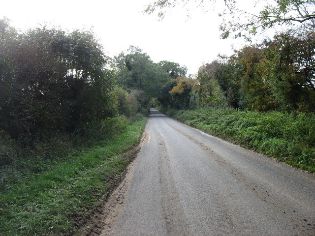
Within Ash Carr, there are several well-maintained footpaths and trails, which allow visitors to explore the wood at their own pace. These paths wind through the forest, offering picturesque views of the surrounding countryside and glimpses of wildlife along the way.

The wood is also home to a diverse range of flora, with wildflowers and ferns adorning the forest floor during the spring and summer months. This creates a vibrant and colorful environment, attracting insects and butterflies, further enhancing the natural beauty of the area.

Ash Carr is a popular destination for outdoor activities such as hiking, picnicking, and photography. Its peaceful atmosphere and unspoiled surroundings make it an ideal location for individuals seeking solace in nature or families looking to spend quality time outdoors.

Overall, Ash Carr is a picturesque wood in Norfolk, offering visitors a chance to immerse themselves in the beauty of nature and experience the tranquility of a forested environment.

If you have any feedback on the listing, please let us know in the comments section below.
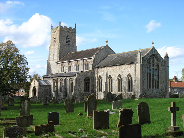
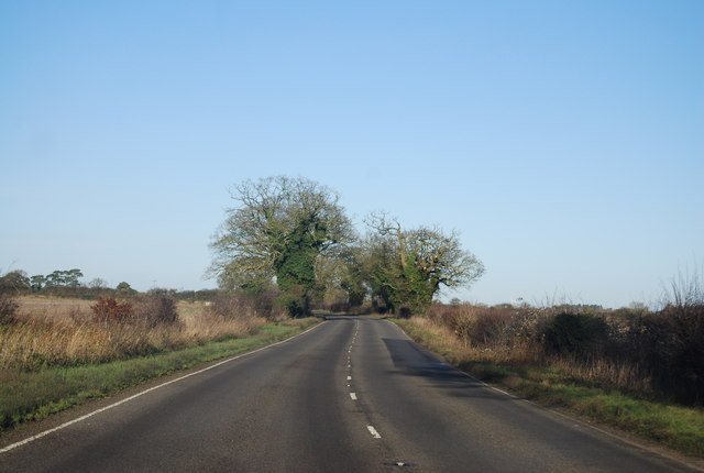
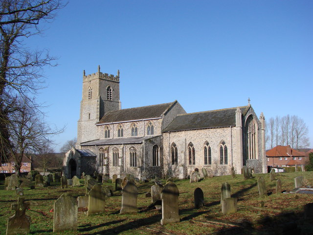
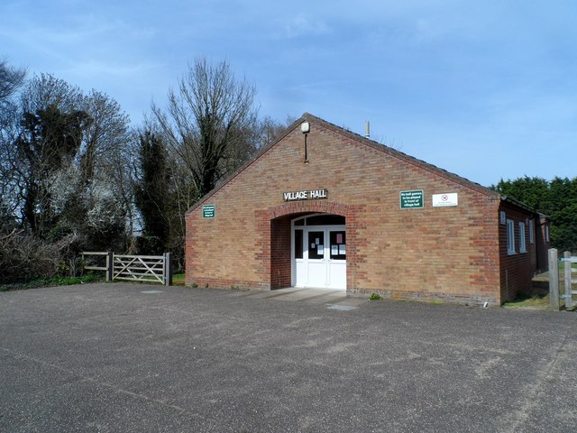
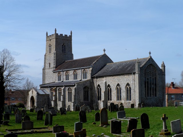
Ash Carr Images

Images are sourced within 2km of 52.577846/0.71921607 or Grid Reference TF8401. Thanks to Geograph Open Source API. All images are credited.

Entrance to The Nunnery, Hilborough The Nunnery was formerly The Rectory. The left hand gate pillar, covered in ivy, houses an Ordnance Survey Flush Bracket, S160, just visible. See <a href="https://www.geograph.org.uk/photo/1852255">TF8200 : OS Flush Bracket S 0160</a>.
Entrance to The Nunnery, Hilborough
The Nunnery was formerly The Rectory. The left hand gate pillar, covered in ivy, houses an Ordnance Survey Flush Bracket, S160, just visible. See TF8200 : OS Flush Bracket S 0160.
Wall End with Benchmark, Hilborough There is a cut benchmark in the brickwork at the end of the wall, north side of Swaffham Road. It is shown on the 1905 OS map at 85.3 feet above mean sea level.
Wall End with Benchmark, Hilborough
There is a cut benchmark in the brickwork at the end of the wall, north side of Swaffham Road. It is shown on the 1905 OS map at 85.3 feet above mean sea level.
Post Box at Great Cressingham IP25 3211. Royal Mail list this box as 'IP25 Priory Drove Watton'.
Post Box at Great Cressingham
IP25 3211. Royal Mail list this box as 'IP25 Priory Drove Watton'.
O.S Benchmark Recorded on the Benchmark Database as 'Great Cressingham, Olde Windmill Inn'.
O.S Benchmark
Recorded on the Benchmark Database as 'Great Cressingham, Olde Windmill Inn'.
Hilborough Ford This ford on the River Wissey is found on Home Lane just off the A1065 Swaffham to Thetford road.
Hilborough Ford
This ford on the River Wissey is found on Home Lane just off the A1065 Swaffham to Thetford road.
St Michael's church, Great Cressingham
The River Wissey at Great Cressingham Looking downstream. The River Wissey flows into the River Great Ouse as far away as square <a href="https://www.geograph.org.uk/gridref/TL5899">TL5899</a>. In doing so it actually crosses the Great Ouse Cut-off Channel on an aqueduct in square <a href="https://www.geograph.org.uk/gridref/TL7098">TL7098</a>. It must be rather unusual for a natural river to be carried across an artificial channel in this way.
The River Wissey at Great Cressingham
Looking downstream. The River Wissey flows into the River Great Ouse as far away as square TL5899. In doing so it actually crosses the Great Ouse Cut-off Channel on an aqueduct in square TL7098. It must be rather unusual for a natural river to be carried across an artificial channel in this way.
The lane to Hilborough
The River Wissey, near Hilborough Looking downstream, from the footbridge on Home Lane.
The River Wissey, near Hilborough
Looking downstream, from the footbridge on Home Lane.
Cockley Cley Lane, Hilborough
The New Swan Inn
The New Swan Inn
A1065 The A1065 is an important route through the centre of Norfolk. It starts on the infamous Five Ways roundabout at Barton Mills, leaving the A11, and heads up through countryside for nearly 40 miles, crossing the A47 at Swaffham en route, until it ends on the A148 just outside Fakenham.
A1065
The A1065 is an important route through the centre of Norfolk. It starts on the infamous Five Ways roundabout at Barton Mills, leaving the A11, and heads up through countryside for nearly 40 miles, crossing the A47 at Swaffham en route, until it ends on the A148 just outside Fakenham.
Brandon Rd (A1065) The A1065 is an important route through the centre of Norfolk. It starts on the infamous Five Ways roundabout at Barton Mills, leaving the A11, and heads up through countryside for nearly 40 miles, crossing the A47 at Swaffham en route, until it ends on the A148 just outside Fakenham.
Brandon Rd (A1065)
The A1065 is an important route through the centre of Norfolk. It starts on the infamous Five Ways roundabout at Barton Mills, leaving the A11, and heads up through countryside for nearly 40 miles, crossing the A47 at Swaffham en route, until it ends on the A148 just outside Fakenham.
St. Michael's church, Great Cressingham Dominating the centre of the village, this impressive church is mainly 15th c. with a 13th c. chancel with its weatherworn pinnacles. A blocked low side window can be seen adjacent to the priest’s door. Above the porch door is a niche with a rather battered St Michael, and inside is a broken stoup. The octagonal font is dull but has a Jacobean cover; the roof alternates with arch-braced tie-beam and hammer-beams with  recumbent  angels on the hammers. The pulpit, although of Victorian stone is well carved and not too out of place. The rood loft stairs  were once accessible from the chancel before nave was restructured.  Good glass in the north nave windows and a fine early chest stands at the west end. Set into the nave floor are five early brasses some of which have been ravaged over the years.
St. Michael's church, Great Cressingham
Dominating the centre of the village, this impressive church is mainly 15th c. with a 13th c. chancel with its weatherworn pinnacles. A blocked low side window can be seen adjacent to the priest’s door. Above the porch door is a niche with a rather battered St Michael, and inside is a broken stoup. The octagonal font is dull but has a Jacobean cover; the roof alternates with arch-braced tie-beam and hammer-beams with recumbent angels on the hammers. The pulpit, although of Victorian stone is well carved and not too out of place. The rood loft stairs were once accessible from the chancel before nave was restructured. Good glass in the north nave windows and a fine early chest stands at the west end. Set into the nave floor are five early brasses some of which have been ravaged over the years.
Great Cressingham, village hall
St Michael's church, Great Cressingham Mostly C15
St Michael's church, Great Cressingham
Mostly C15
The Olde Windmill pub, Great Cressingham This seems to have changed appearances quite a lot since the 2006 photo <a title="https://www.geograph.org.uk/photo/281775" href="https://www.geograph.org.uk/photo/281775">Link</a>
The Olde Windmill pub, Great Cressingham
This seems to have changed appearances quite a lot since the 2006 photo Link
The Swan, Great Cressingham The building is dated 1718 in a plaque above the doorway (just visible). The sign has been changed since the 2013 photo <a title="https://www.geograph.org.uk/photo/3830001" href="https://www.geograph.org.uk/photo/3830001">Link</a> . See <span class="nowrap"><a title="http://www.britishlistedbuildings.co.uk/en-220965-the-swan-hilborough-norfolk#.VTay5yFViko" rel="nofollow ugc noopener" href="http://www.britishlistedbuildings.co.uk/en-220965-the-swan-hilborough-norfolk#.VTay5yFViko">Link</a><img style="margin-left:2px;" alt="External link" title="External link - shift click to open in new window" src="https://s1.geograph.org.uk/img/external.png" width="10" height="10"/></span> for entry in British Listed Buildings.
The Swan, Great Cressingham
The building is dated 1718 in a plaque above the doorway (just visible). The sign has been changed since the 2013 photo Link . See LinkExternal link for entry in British Listed Buildings.
Show me another place!

Ash Carr is located at Grid Ref: TF8401 (Lat: 52.577846, Lng: 0.71921607)

Administrative County: Norfolk

District: Breckland

Police Authority: Norfolk

What 3 Words

///curated.fabricate.quoted. Near Ashill, Norfolk

Related Wikis

Nearby Amenities

Located within 500m of 52.577846,0.71921607
Dunmore Farm
Place: farm
Source: OS 1:25k
Lat/Long: 52.5755175/0.724754
Power: pole
Lat/Long: 52.5814238/0.723609
Communication Mobile Phone: yes
Man Made: mast
Material: metal
Operator: Three UK;EE
Tower Construction: lattice
Tower Type: communication
Lat/Long: 52.5767754/0.7220882
The data included in this document is from www.openstreetmap.org. The data is made available under ODbL.

Have you been to Ash Carr?

Leave your review of Ash Carr below (or comments, questions and feedback).