Ringer's Wood

Wood, Forest in Norfolk Breckland

England

Ringer's Wood

Tractor on the A1065 at Weasenham All Saints Farming is one of the major industries in Norfolk, with more than 20% of employment in the county being in the agricultural and food industries <span class="nowrap"><a title="http://www.locatenorfolk.com/" rel="nofollow ugc noopener" href="http://www.locatenorfolk.com/">Link</a><img style="margin-left:2px;" alt="External link" title="External link - shift click to open in new window" src="https://s1.geograph.org.uk/img/external.png" width="10" height="10"/></span> . Tractors, such as this one which towing a Grimme KS5400 harvester along the A1065, are a common sight on the county's roads.
Tractor on the A1065 at Weasenham All Saints Credit: David Dixon

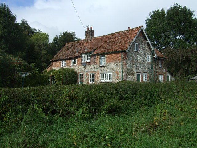
Ringer's Wood is a picturesque woodland located in Norfolk, England. Nestled within the beautiful countryside, this woodland covers an expansive area and offers a tranquil escape for nature enthusiasts and hikers alike.

The wood is primarily composed of deciduous trees, such as oak, beech, and birch, creating a rich and diverse ecosystem that is home to an array of wildlife. The forest floor is adorned with a carpet of bluebells during the spring, creating a stunning spectacle for visitors.

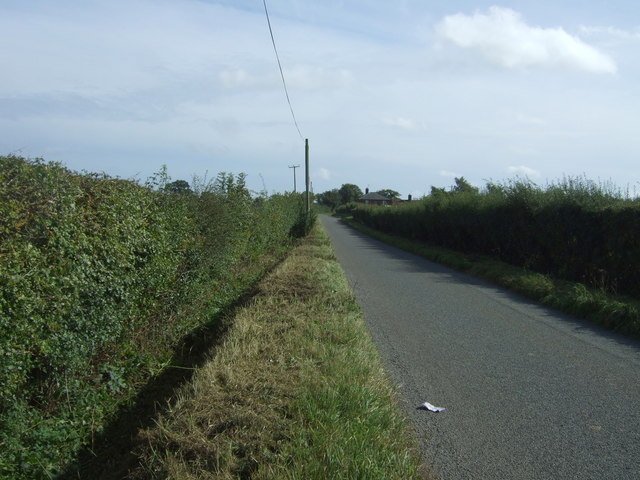
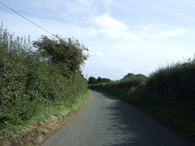
This woodland boasts several well-maintained walking trails, providing visitors with the opportunity to explore its natural beauty at their own pace. These paths wind through the forest, allowing visitors to immerse themselves in the peaceful ambiance and observe the woodland's inhabitants, including squirrels, deer, and a variety of bird species.

Ringer's Wood is also home to a number of ancient trees, some estimated to be several centuries old. These majestic giants add a sense of history and grandeur to the woodland, further enhancing its charm.

The wood is easily accessible, with a parking area and well-signposted entrances. It is a popular destination for both locals and tourists, offering a peaceful retreat from the bustle of everyday life. Whether it be for a leisurely stroll, a picnic, or birdwatching, Ringer's Wood provides a serene and captivating experience for visitors of all ages.

If you have any feedback on the listing, please let us know in the comments section below.

Ringer's Wood Images

Images are sourced within 2km of 52.746761/0.72966686 or Grid Reference TF8420. Thanks to Geograph Open Source API. All images are credited.

Tractor on the A1065 at Weasenham All Saints Farming is one of the major industries in Norfolk, with more than 20% of employment in the county being in the agricultural and food industries <span class="nowrap"><a title="http://www.locatenorfolk.com/" rel="nofollow ugc noopener" href="http://www.locatenorfolk.com/">Link</a><img style="margin-left:2px;" alt="External link" title="External link - shift click to open in new window" src="https://s1.geograph.org.uk/img/external.png" width="10" height="10"/></span> . Tractors, such as this one which towing a Grimme KS5400 harvester along the A1065, are a common sight on the county's roads.
Tractor on the A1065 at Weasenham All Saints
Farming is one of the major industries in Norfolk, with more than 20% of employment in the county being in the agricultural and food industries LinkExternal link . Tractors, such as this one which towing a Grimme KS5400 harvester along the A1065, are a common sight on the county's roads.
House in Rougham
House in Rougham
Minor road into Rougham village Heading north east from the B1145.
Minor road into Rougham village
Heading north east from the B1145.
Field and hedgerow near Tythe Farm
Field near Tythe Farm
Massingham Road towards Weasenham St Peter Looking east.
Massingham Road towards Weasenham St Peter
Looking east.
Field, Weasenham Off Massingham Road.
Field, Weasenham
Off Massingham Road.
Massingham Road, Weasenham St Peter Looking east.
Massingham Road, Weasenham St Peter
Looking east.
Cottages, Weasenham St Peter
A1065 towards Swaffham Looking south east.
A1065 towards Swaffham
Looking south east.
Crossroad, Weasenham St Peter Looking east along the minor road from Great Massingham.
Crossroad, Weasenham St Peter
Looking east along the minor road from Great Massingham.
School sign at Rougham
The bier in Rougham church There seems to be some confusion as to the purpose of a bier as many seem to be associated with fire extinguishers. <a title="https://www.geograph.org.uk/photo/5588085" href="https://www.geograph.org.uk/photo/5588085">Link</a>
<a title="https://www.geograph.org.uk/photo/5081369" href="https://www.geograph.org.uk/photo/5081369">Link</a>
<a title="https://www.geograph.org.uk/photo/5081367" href="https://www.geograph.org.uk/photo/5081367">Link</a>
The bier in Rougham church
There seems to be some confusion as to the purpose of a bier as many seem to be associated with fire extinguishers. Link Link Link
Rougham churchyard living up to its name The churchyard is deep in wet grass with no thought for those who wish to visit the graves of loved ones.
A notice on the churchyard gate warns dog owners to keep their dogs on a lead, presumably so they don't get lost...
Rougham churchyard living up to its name
The churchyard is deep in wet grass with no thought for those who wish to visit the graves of loved ones. A notice on the churchyard gate warns dog owners to keep their dogs on a lead, presumably so they don't get lost...
Old Milepost by the A1065, south of Weasenham All Saints Cast iron post by the A1065, in parish of Weasenham All Saints (Breckland District), South of North edge of New Wood, on the verge, on West side of road. NCC-ci-PB2, erected by the County Council in the 20th century. 

Inscription reads:-
: TO / FAKENHAM / 8 / MILES : : NCC / MAIN ROAD / WEASENHAM ALL STS : : TO / SWAFFHAM / 8 / MILES :
Maker:-
: PERTWEE & BACK / YARMOUTH :

Norfolk HER.
NHER Number: 56789 <span class="nowrap"><a title="https://www.heritagegateway.org.uk/Gateway/Results_Single.aspx?uid=MNF63210&resourceID=1002" rel="nofollow ugc noopener" href="https://www.heritagegateway.org.uk/Gateway/Results_Single.aspx?uid=MNF63210&resourceID=1002">Link</a><img style="margin-left:2px;" alt="External link" title="External link - shift click to open in new window" src="https://s1.geograph.org.uk/img/external.png" width="10" height="10"/></span>

Milestone Society National ID: NO_FS08
Old Milepost by the A1065, south of Weasenham All Saints
Cast iron post by the A1065, in parish of Weasenham All Saints (Breckland District), South of North edge of New Wood, on the verge, on West side of road. NCC-ci-PB2, erected by the County Council in the 20th century. Inscription reads:- : TO / FAKENHAM / 8 / MILES : : NCC / MAIN ROAD / WEASENHAM ALL STS : : TO / SWAFFHAM / 8 / MILES : Maker:- : PERTWEE & BACK / YARMOUTH : Norfolk HER. NHER Number: 56789 LinkExternal link Milestone Society National ID: NO_FS08
Direction Sign – Signpost Located on the east side of the T junction southeast of the church in Rougham parish. 3 arms and annulus finial. 

Milestone Society National ID: NO_TF8320
Direction Sign – Signpost
Located on the east side of the T junction southeast of the church in Rougham parish. 3 arms and annulus finial. Milestone Society National ID: NO_TF8320
Direction Sign – Signpost Located on the east side of the T junction with The Street, at the south end of the village in Rougham parish. 3 arms, 1 missing, and missing annulus finial. 

Milestone Society National ID: NO_TF8320A
Direction Sign – Signpost
Located on the east side of the T junction with The Street, at the south end of the village in Rougham parish. 3 arms, 1 missing, and missing annulus finial. Milestone Society National ID: NO_TF8320A
Show me another place!

Ringer's Wood is located at Grid Ref: TF8420 (Lat: 52.746761, Lng: 0.72966686)

Administrative County: Norfolk

District: Breckland

Police Authority: Norfolk

What 3 Words

///target.heightens.dishes. Near Necton, Norfolk

Nearby Locations

Ringer's Wood New Wood

Related Wikis

Rougham, Norfolk

Rougham is a village and civil parish in the English county of Norfolk. It covers an area of 10.85 km2 (4.19 sq mi) and had a population of 152 in 69 households...

Weasenham All Saints

Weasenham All Saints is a civil parish in the English county of Norfolk. It covers an area of 8.16 km2 (3.15 sq mi) and had a population of 178 in 76 households...

Lexham

Lexham is a parish consisting of the twin villages of East Lexham and West Lexham situated in the Breckland District of Norfolk and covers an area of 9...

Weasenham St Peter

Weasenham St Peter is a village and civil parish in the English county of Norfolk. It covers an area of 5.79 km2 (2.24 sq mi) and had a population of 166...

West Lexham

West Lexham is a village and former civil parish, now in the parish of Lexham, in the Breckland district, in the county of Norfolk, England. It is 5.9...

East Lexham

East Lexham is a village and former civil parish, now in the parish of Lexham, in the Breckland district, in the English county of Norfolk. It is 7.7 miles...

Wellingham

Wellingham is a village and civil parish in the English county of Norfolk. It covers an area of 4.39 km2 (1.69 sq mi) and had a population of 55 in 27...

Peddars Way

The Peddars Way is a long distance footpath that passes through Suffolk and Norfolk, England. == Route == The Peddars Way is 46 miles (74 km) long and...

Have you been to Ringer's Wood?

Leave your review of Ringer's Wood below (or comments, questions and feedback).